2020s Maps of Eastland County, Texas
Explore 26 historic maps of Eastland County from the 2020s. These maps offer a rare glimpse into what life looked like during the 2020s — showing old roads, neighborhoods, homes, and landmarks that have changed or disappeared over time.
Whether you're researching your family's past, planning a metal detecting trip, or studying how Eastland County's landscape evolved across the 2020s, these high-resolution maps are a powerful tool for exploring the history of this region.
- Focus on a specific era: All maps on this page are from the 2020s, giving you a focused view of this time period.
- See what’s changed: Compare century-old streets, trails, and buildings to today's modern landscape using overlays and satellite layers.
- Research with precision: Use these maps for genealogy, historical research, land use analysis, or educational projects.
- View, download, or print: Maps are fully viewable online in high resolution, and can be downloaded or printed for your own records.
Start exploring Eastland County's history through authentic maps from the 2020s. This is your window into the past.
Eastland County, TX maps
(26)- 2022 Map of Pioneer, 2022 Print
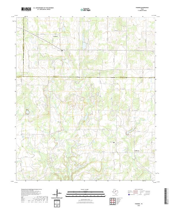 2022 Pioneer2022 Print · USGSThis rural portion of Brown, Eastland, and Callahan counties shows a landscape defined by deep-rooted ranching and water management. Genealogists and local historians can trace family locations near the Pioneer Cem, Blake Cem, and the community of Williams.
 - 2022 Map of Scranton, 2022 Print
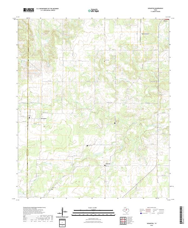 2022 Scranton2022 Print · USGSWest Texas ranching communities and creek-side settlements thrive along the Callahan and Eastland county line. Genealogists can trace family names at local burial sites like Scranton Cem, Monroe Cem, and Haskell Cem.
 - 2022 Map of Bernie Lake, 2022 Print
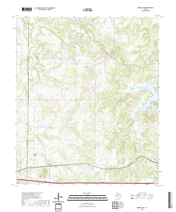 2022 Bernie Lake2022 Print · USGSEastland County near the Callahan border is shown in the 2020s, a landscape defined by ranch roads and regional reservoirs. Genealogists can locate Dothan Cem near Dothan, while researchers can trace the shorelines of Lake Cisco and Bernie Lake.
 - 2022 Map of Indian Knoll, 2022 Print
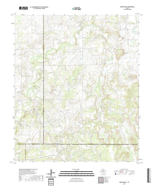 2022 Indian Knoll2022 Print · USGSThe ranchlands of West Texas where four counties meet are captured here in the early twenty-first century. Researchers can trace land boundaries and seasonal watercourses like Battle Cr while locating landmarks such as Red Gap and the Texas Company Reservoir.
 - 2022 Map of Sabanno, 2022 Print
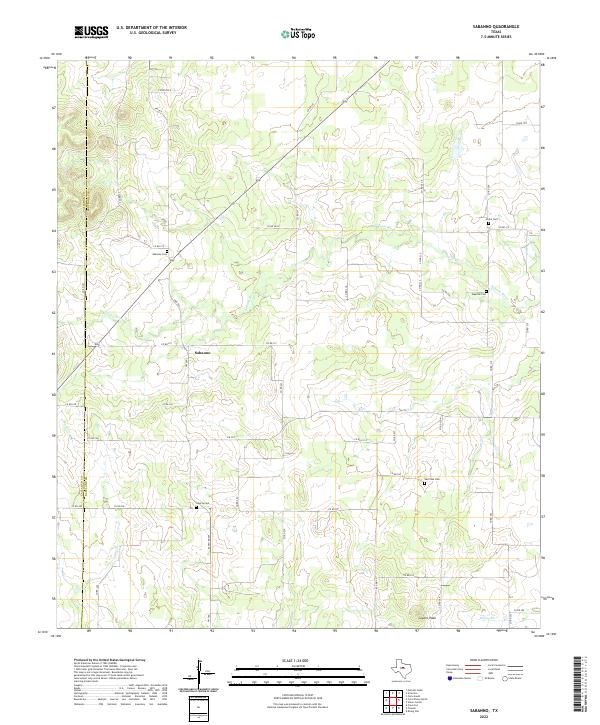 2022 Sabanno2022 Print · USGSThis rural portion of Eastland County reflects a long-standing ranching and farming heritage centered on the Sabanno community. Genealogists can trace family names and local history through several burial sites like Salt Tank Cem, Union Cem, and Wayside Cem.
 - 2022 Map of Carbon, 2022 Print
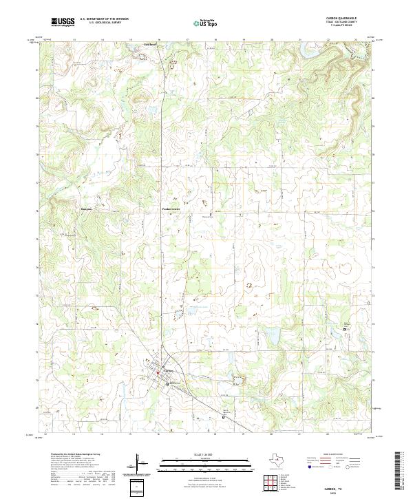 2022 Carbon2022 Print · USGSEastland County at the start of the 2020s shows a resilient landscape of rural settlements and winding river forks. Researchers can trace family history through sites like Carbon - Restland Cem and Flatwood Cem or explore the drainage of the Leon River.
 - 2022 Map of Hunting Shirt Creek, 2022 Print
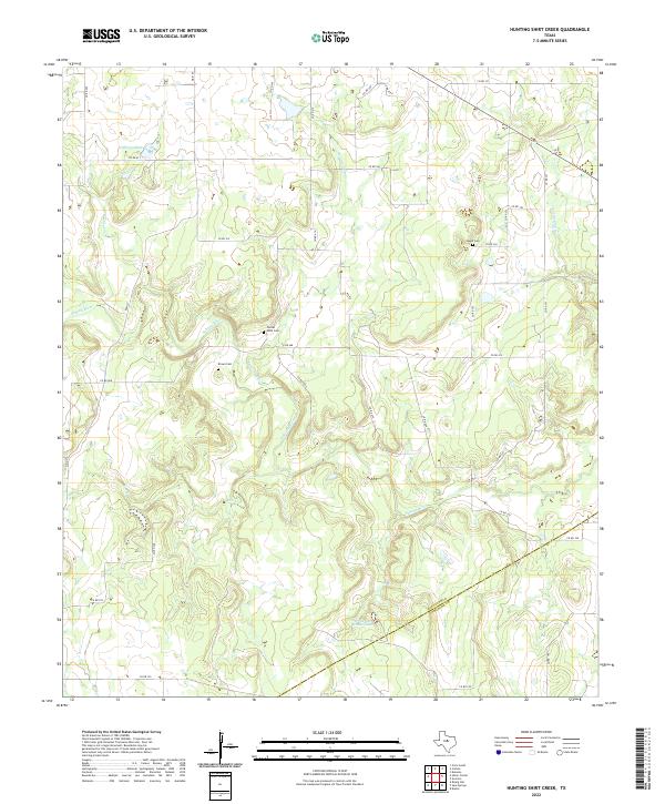 2022 Hunting Shirt Creek2022 Print · USGSThe West Texas ranchlands of Eastland and Comanche counties appear in this recent survey, centered on the serpentine paths of the Sabana River. Researchers can locate several family and community landmarks, including Center Point Cem, Brown Cem, and Jewell Cem.
 - 2022 Map of Huckabay SW, 2022 Print
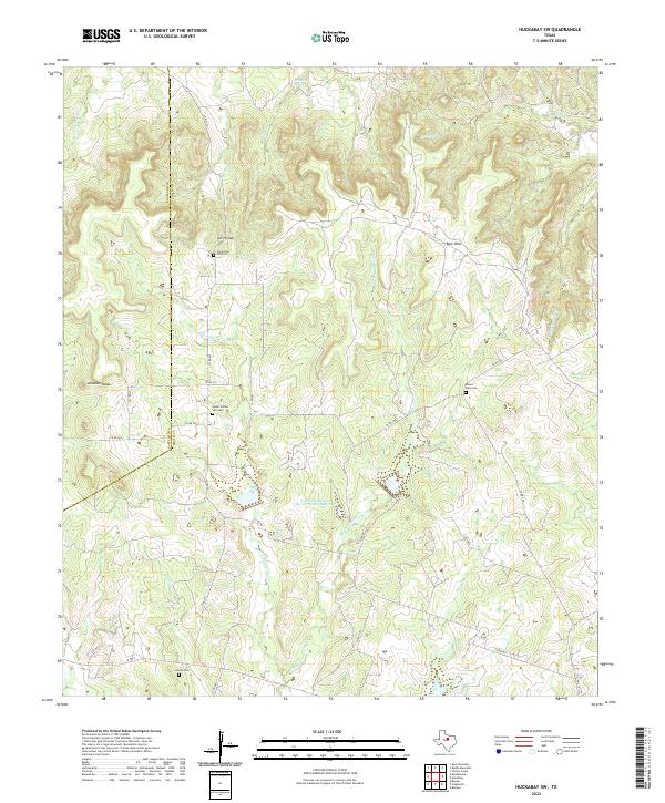 2022 Huckabay SW2022 Print · USGSThe rural uplands of Erath County are shown here in the modern era, capturing a landscape of family-named creeks and historic burial sites. Genealogists can locate Old School Hill Cem, Mount Zion Cem, and landmarks like Smith Gap.
 - 2022 Map of Cisco South, 2022 Print
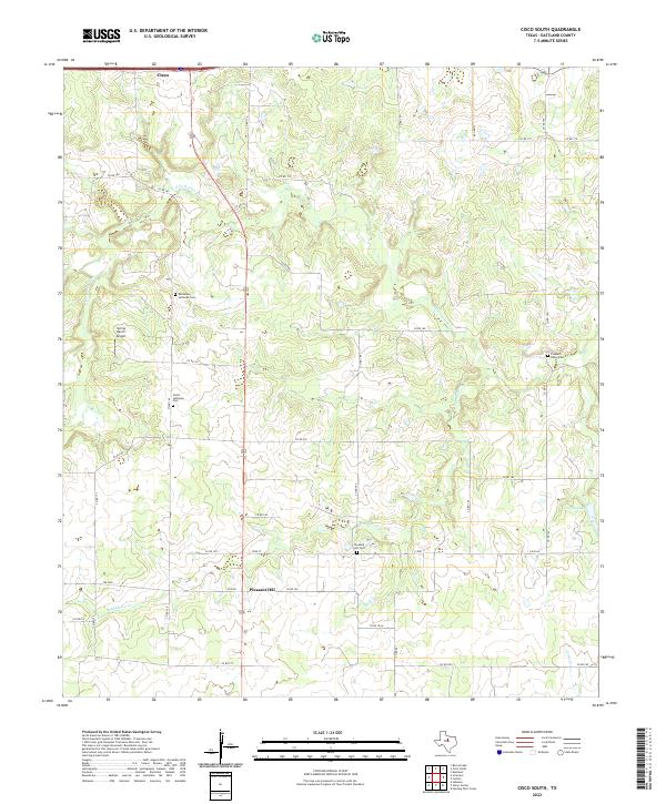 2022 Cisco South2022 Print · USGSEastland County's rural landscape unfolds south of the city during the early 2020s, revealing a network of historic burial grounds and ranching corridors. Researchers can trace family roots at Pleasant Hill Cem, Christ Lutheran Cem, and the small settlement of Pleasant Hill.
 - 2022 Map of Rucker, 2022 Print
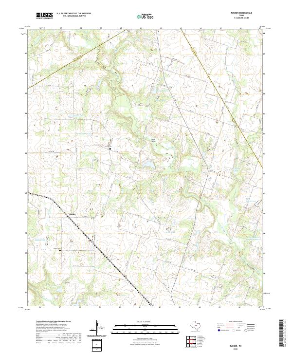 2022 Rucker2022 Print · USGSCentral Texas ranching country comes into focus here during the early twenty-first century, specifically where the Leon and Sabana rivers meet. Researchers can trace family history at Oliver Springs Cem and Liberty Cem or explore the rural community of Rucker.
 - 2022 Map of Sipe Springs, 2022 Print
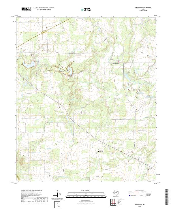 2022 Sipe Springs2022 Print · USGSSipe Springs and the surrounding Comanche County ranch lands are detailed here in the 2020s. Genealogists can locate several historic burial sites, including Parker Cem, Stag Creek Cem, and Sipe Springs Cem, alongside local landmarks like Railroad Lake and Keys Br.
 - 2022 Map of Reddy Mountain, 2022 Print
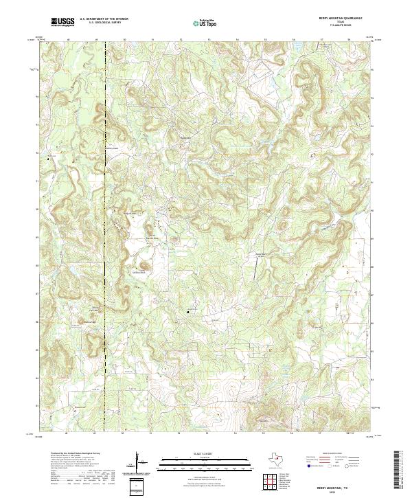 2022 Reddy Mountain2022 Print · USGSThe Eastland and Erath county line reveals a landscape of high ridgelines and hidden springs in the early twenty-first century. Genealogists and local historians can trace family roots at Jay Bird Cem or locate rural landmarks like Tallow Face Mtn and Rock Hole Spring.
 - 2022 Map of Wayland, 2022 Print
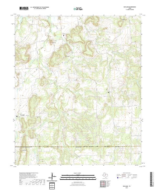 2022 Wayland2022 Print · USGSThe ranch lands of Stephens and Eastland counties are captured here in the early twenty-first century, showing a landscape of high ridges and winding creek forks. Researchers can locate several burial sites like Wayland Cem and landmarks such as Gunsight Mtn or Bald Mtn.
 - 2022 Map of Gorman, 2022 Print
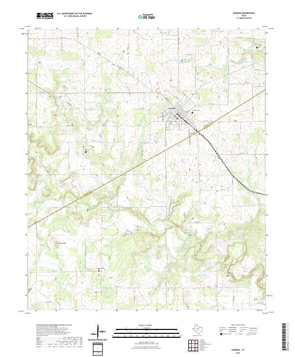 2022 Gorman2022 Print · USGSGorman sits at the crossroads of Eastland and Comanche Counties in this contemporary survey of the Texas ranchlands. Researchers can locate numerous family burial sites such as Oakland Cem and Elm Cem, or trace water resources like the W E Dennis Reservoir.
 - 2022 Map of Bear Mountain, 2022 Print
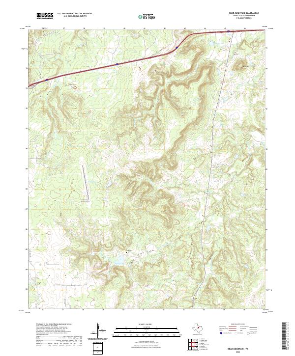 2022 Bear Mountain2022 Print · USGSEastland County ranching country is documented in the early twenty-first century, showing a landscape of deep canyons and family landmarks. Genealogists and local historians can locate the Cook Cem and trace the winding waters of Cook Canyon and Bear Mtn.
 - 2022 Map of Harpersville, 2022 Print
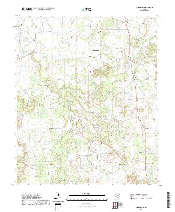 2022 Harpersville2022 Print · USGSThe rural landscape of Stephens and Eastland Counties remains centered on the community of Harpersville in this recent survey. Local researchers can trace family landmarks and water sources like the Harpersville Cem, Double Mtn, and the Texas Company Reservoir.
 - 2022 Map of Kokomo, 2022 Print
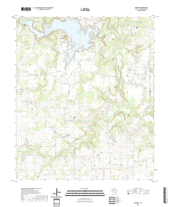 2022 Kokomo2022 Print · USGSEastland County's rural communities and river valleys appear in high detail during the early 2020s. Researchers can locate numerous historic burial sites like Kokomo Cem and Simpson Cem near the banks of Lake Leon and the Leon River.
 - 2022 Map of Union Center, 2022 Print
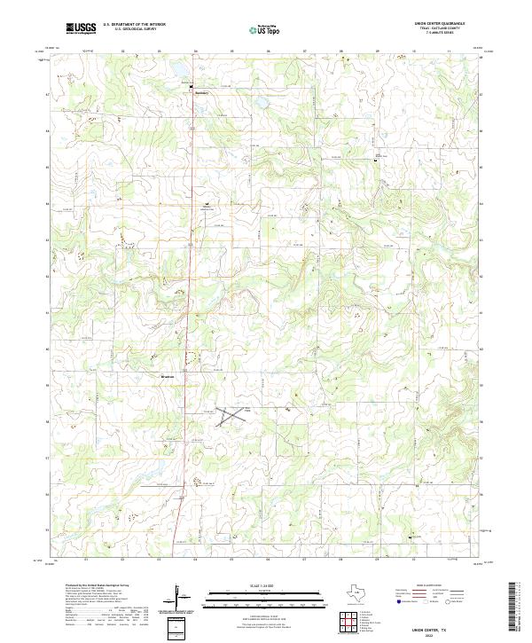 2022 Union Center2022 Print · USGSEastland County ranch land and river bottoms are captured here in the early twenty-first century. Genealogists can trace family roots at Romney Lutheran Cem and Elm Cem or locate the quiet crossroads of Branton.
 - 2022 Map of Desdemona, 2022 Print
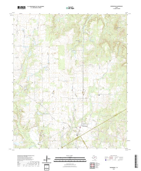 2022 Desdemona2022 Print · USGSThe community of Desdemona sits at a tri-county junction in West Texas during the early 2020s, surrounded by ranching lands and seasonal creek beds. Genealogists and local historians can trace property boundaries and landmarks like Desdemona Cem, Howard Cem, and Mockingbird Hill.
 - 2022 Map of Eastland, 2022 Print
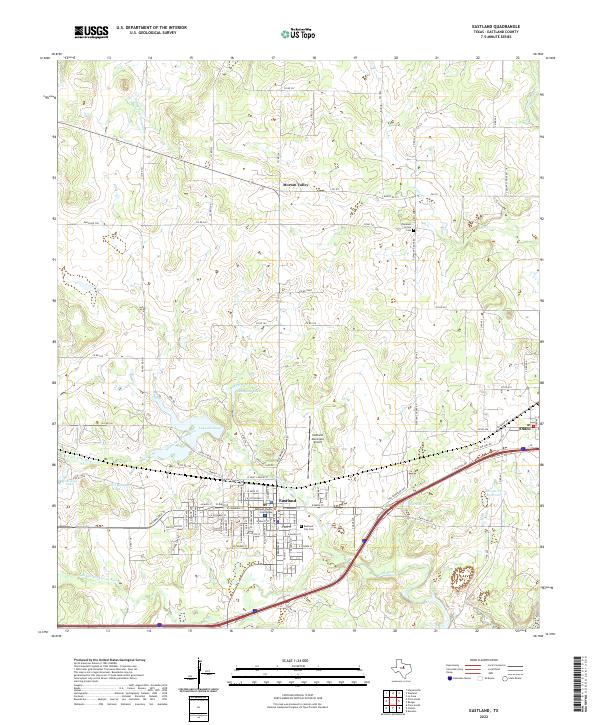 2022 Eastland2022 Print · USGSEastland and its surrounding ranchlands are shown here in the early twenty-first century as the county seat continues to anchor the region. Researchers can trace local lineage at Eastland City Cem or explore the smaller communities of Olden and Morton Valley.
 - 2022 Map of Strawn West, 2022 Print
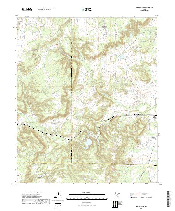 2022 Strawn West2022 Print · USGSModern West Texas terrain comes alive in this survey of the Palo Pinto highlands at the meeting point of three counties. Trace local landmarks like Evensville Peak and Tucker Lake, or follow the drainages of Bills Cr and Cottonwood Cr near Strawn.
 - 2022 Map of La Casa, 2022 Print
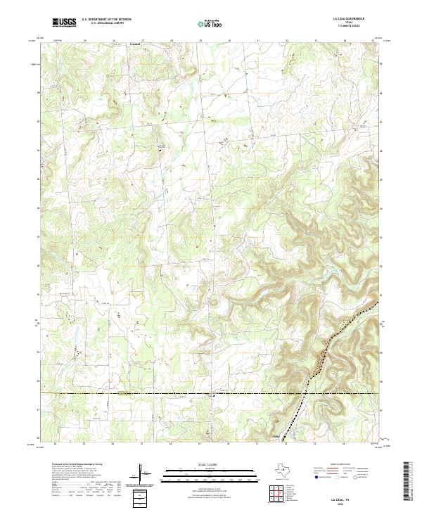 2022 La Casa2022 Print · USGSThe Stephens and Eastland County line comes alive in this 2022 survey of the rural Texas countryside. Genealogists and researchers can trace the locations of Mount Zion Cem and Bullock Cem, or follow the winding paths of Caddo Cr and Palo Pinto Cr.
 - 2022 Map of Cisco North, 2022 Print
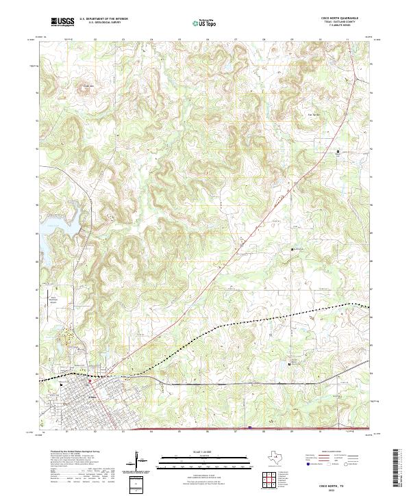 2022 Cisco North2022 Print · USGSCisco and the surrounding Eastland County hills are documented here in recent years, showing the intersection of education, aviation, and rural life. Genealogists can locate family sites at Oakwood Cem, Corinth Baptist Church Cem, and Reagan Cem.
 - 2022 Map of Strawn East, 2022 Print
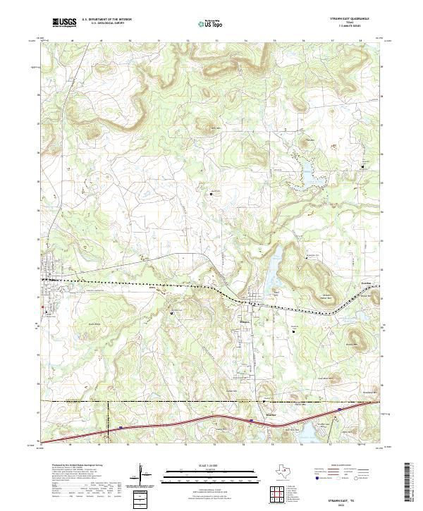 2022 Strawn East2022 Print · USGSThe rail-corridor towns of Strawn and Mingus are documented here in the contemporary era, highlighting a landscape rich in industrial and family history. Researchers can locate numerous burial grounds like McSpadden Cem or trace terrain features like Steam Shovel Mtn and the Union Pacific Railroad.
 - 2022 Map of Rising Star, 2022 Print
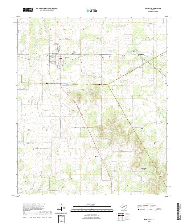 2022 Rising Star2022 Print · USGSThe Texas crossroads of Rising Star and Chuckville are captured here at the triple junction of Eastland, Brown, and Comanche counties. Genealogists and local historians can trace family locations through detailed street names and rural landmarks like Wolf Valley Cem and Rattlesnake Gap.
Showing maps 1-25 of 26
Top cities of Eastland County
- Eastland historical maps
- Cisco historical maps
- Ranger historical maps
- Gorman historical maps
- Rising Star historical maps
- Olden historical maps
See more
Frequently asked questions
- What are the different types of historical maps available for Eastland County?
- What is the oldest map of Eastland County?
- Where can I purchase historical maps of Eastland County for my home or office?
- Where can I download high-res historical maps of Eastland County?
- Are there historical topographic maps available for Eastland County?
- Is there historical aerial imagery available for Eastland County?
- Where are historical maps of Eastland County sourced from?