2010s Maps of Eastland County, Texas
Explore 104 historic maps of Eastland County from the 2010s. These maps offer a rare glimpse into what life looked like during the 2010s — showing old roads, neighborhoods, homes, and landmarks that have changed or disappeared over time.
Whether you're researching your family's past, planning a metal detecting trip, or studying how Eastland County's landscape evolved across the 2010s, these high-resolution maps are a powerful tool for exploring the history of this region.
- Focus on a specific era: All maps on this page are from the 2010s, giving you a focused view of this time period.
- See what’s changed: Compare century-old streets, trails, and buildings to today's modern landscape using overlays and satellite layers.
- Research with precision: Use these maps for genealogy, historical research, land use analysis, or educational projects.
- View, download, or print: Maps are fully viewable online in high resolution, and can be downloaded or printed for your own records.
Start exploring Eastland County's history through authentic maps from the 2010s. This is your window into the past.
Eastland County, TX maps
(104)- 2010 Map of Sipe Springs, 2010 Print
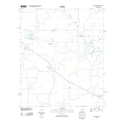 2010 Sipe Springs2010 Print · USGSSipe Springs and the surrounding Comanche County ranchlands are captured here in the early twenty-first century. Genealogists and local historians can trace family locations near the Sipe Springs Cemetery, Stag Creek, and Parker Cemetery.
 - 2010 Map of Rucker, 2010 Print
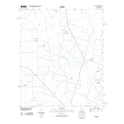 2010 Rucker2010 Print · USGSThis Comanche County ranching landscape was dominated by the Leon River and local agriculture during the 2010s. Researchers can trace family-named water features and small settlements like Rucker, Setzler Lake, and Ardean Kimmell Reservoir Number 2.
 - 2010 Map of Kokomo, 2010 Print
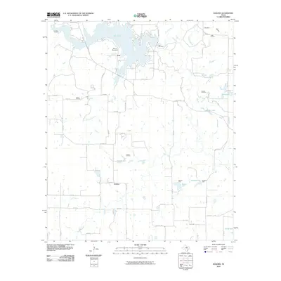 2010 Kokomo2010 Print · USGSThis Eastland County landscape is defined by the expansive waters of Lake Leon and the quiet rural crossroads of the early twenty-first century. Genealogists can trace family roots through several small burial grounds like Simpson Cemetery and Alameda Cemetery.
 - 2010 Map of Reddy Mountain, 2010 Print
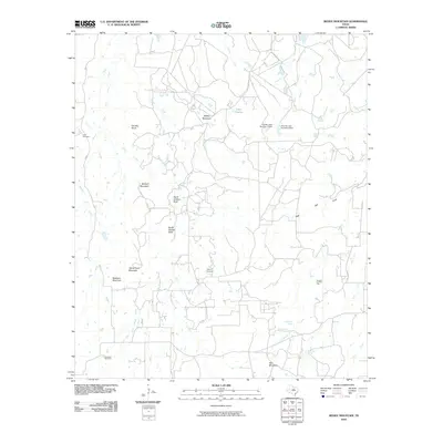 2010 Reddy Mountain2010 Print · USGSIn the early twenty-first century, this Erath County landscape remains defined by its high ridges and spring-fed creek systems. Researchers can trace historic family landmarks such as Tudor Cemetery, North Shelton Rock, and McGinnis Spring across the varied terrain.
 - 2010 Map of Sabanno, 2010 Print
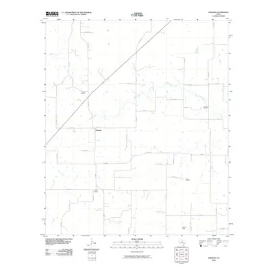 2010 Sabanno2010 Print · USGSIn the rural heart of Eastland County during the early twenty-first century, this landscape preserves the settlement patterns of a ranching community. Family historians can trace local roots through Sabanno Cemetery, Liberty Cemetery, and Salt Tank Cemetery along the banks of the Sabana River.
 - 2010 Map of Gorman, 2010 Print
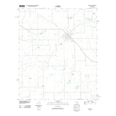 2010 Gorman2010 Print · USGSGorman and the surrounding Eastland County countryside are shown here in the early twenty-first century, featuring a landscape defined by ranching and water management. Local historians can trace family plots at Elm Cemetery or Oakland Cemetery and locate landmarks like Indian Mountain.
 - 2010 Map of Cisco South, 2010 Print
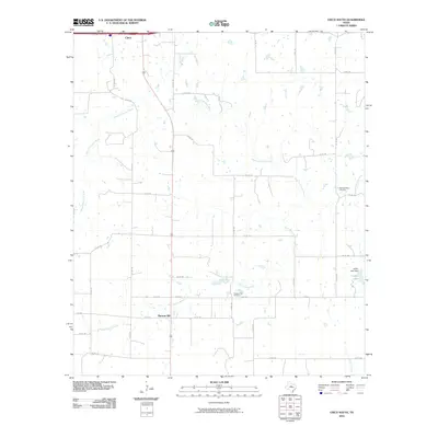 2010 Cisco South2010 Print · USGSEastland County's rural ranch lands south of Cisco are documented here in the early twenty-first century. Researchers can locate the community of Pleasant Hill and trace family heritage at Pleasant Hill Cemetery and Pleasant Valley Cemetery.
 - 2010 Map of Bernie Lake, 2010 Print
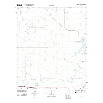 2010 Bernie Lake2010 Print · USGSEastland County ranch land is captured here in the early twenty-first century, showing a landscape defined by water management and rural aviation. Researchers can locate the Dothan Cemetery and trace the shores of Lake Cisco and Bernie Lake.
 - 2010 Map of Union Center, 2010 Print
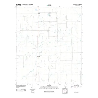 2010 Union Center2010 Print · USGSEastland County at the turn of the decade reveals a landscape of dispersed rural settlements and cattle country. Genealogists and local historians can trace family roots through small communities like Romney and Okra, or locate the Elm Cemetery near the banks of Elm Creek.
 - 2010 Map of Eastland, 2010 Print
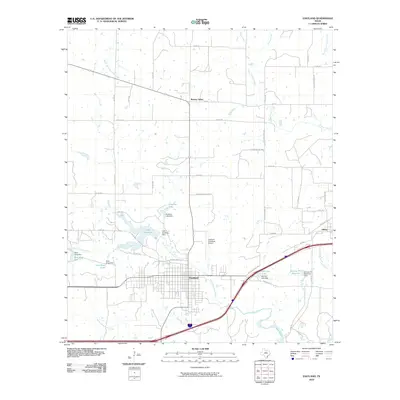 2010 Eastland2010 Print · USGSEastland County at the turn of the decade reveals a landscape defined by water management and historic transit corridors. Genealogists and local historians can trace the paths of the Old Bankhead Hwy and find legacy sites like Colony School Rd and Olden.
 - 2010 Map of Bear Mountain, 2010 Print
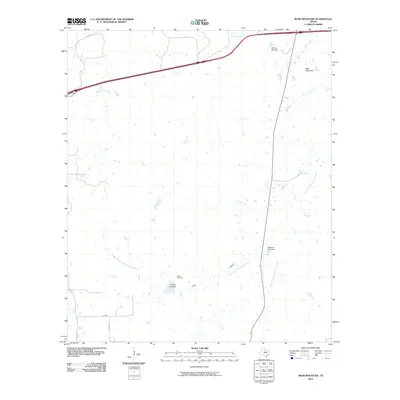 2010 Bear Mountain2010 Print · USGSEastland County at the turn of the millennium shows a landscape defined by ranching roads and the winding forks of the Palo Pinto. Genealogists and local historians can trace family ties at the Cook Cemetery or locate the headwaters of Bear Creek and Brush Creek.
 - 2010 Map of Huckabay SW, 2010 Print
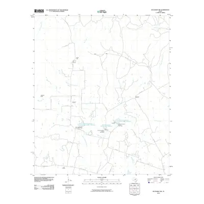 2010 Huckabay SW2010 Print · USGSThe rural landscape of Erath County appears here during the first decade of the 21st century, showing a network of ranch roads and conservation dams. Genealogists can trace family burial sites at Old School Hill Cemetery or Lowell Cemetery near Hog Creek.
 - 2010 Map of Rising Star, 2010 Print
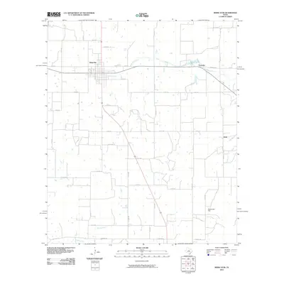 2010 Rising Star2010 Print · USGSRising Star and the surrounding cattle-and-oil country are captured in this 2010 survey. Genealogists and local historians can trace the rural landscape between Rising Star, Chuckville, and the landmark at Rattlesnake Gap.
 - 2010 Map of Pioneer, 2010 Print
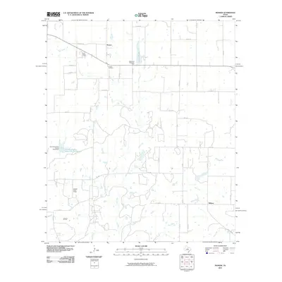 2010 Pioneer2010 Print · USGSBrown County ranching and oil production are at the forefront of this 2010 study of the Texas plains. Researchers can locate family landmarks like the Pioneer Cemetery or trace the industrial footprint of the Cross Cut Oil Field and the Goodall Ranch Airport.
 - 2010 Map of Strawn West, 2010 Print
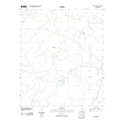 2010 Strawn West2010 Print · USGSThe western outskirts of Strawn, Texas, are captured here in the early twenty-first century, showing a landscape defined by ranch roads and water management. Local historians can trace family-named routes and landmarks like Evensville Peak, Tucker Lake, and Hohhertz Rd.
 - 2010 Map of La Casa, 2010 Print
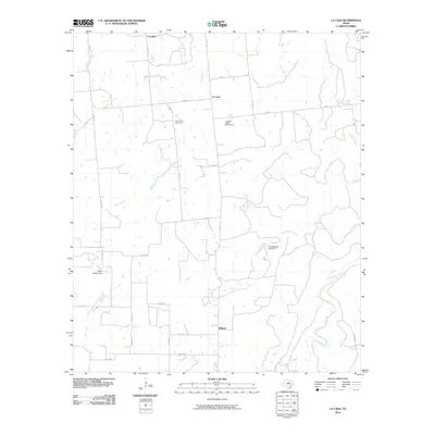 2010 La Casa2010 Print · USGSThe ranching country of eastern Stephens County is captured here in the early twenty-first century, showing a landscape of scattered settlements and winding creek beds. Researchers can locate Mount Zion Cemetery and trace local water works like the Glynn Wilson Dam and J S McDowell Lake Dam.
 - 2010 Map of Strawn East, 2010 Print
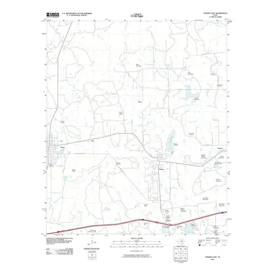 2010 Strawn East2010 Print · USGSThe industrial and social heritage of Palo Pinto County is preserved in this map of the corridor between Strawn and Gordon. Trace the legacy of company towns and family history through the Thurber Historic District, Boles Rector Oil Field, and McSpadden Cemetery.
 - 2010 Map of Hunting Shirt Creek, 2010 Print
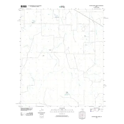 2010 Hunting Shirt Creek2010 Print · USGSEastland County in the early twenty-first century reveals a rural landscape shaped by the Sabana River and its many tributaries. Genealogists and local historians can trace family locations through Jewel Cemetery, Center Point Cemetery, and landmarks like Hammer Lake.
 - 2010 Map of Carbon, 2010 Print
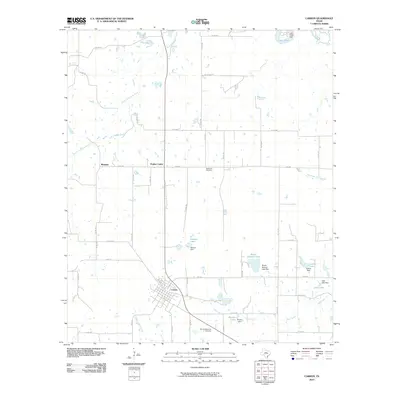 2010 Carbon2010 Print · USGSCarbon and the surrounding Eastland County ranch lands are shown here in the first decade of the 2000s. Researchers can locate family landmarks like Murray Memorial Cemetery, trace the drainage of Hunting Shirt Creek, or explore the rural outposts of Punkin Center and Mangum.
 - 2010 Map of Scranton, 2010 Print
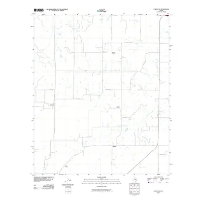 2010 Scranton2010 Print · USGSEastland County ranching country is captured here in the early 2000s, showcasing the rural road networks and scattered settlements of West Texas. Genealogists can trace family footprints at Mitchell Cemetery, Haskell Cemetery, and the quiet community of Nimrod.
 - 2010 Map of Indian Knoll, 2010 Print
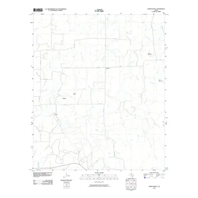 2010 Indian Knoll2010 Print · USGSStephens County ranchlands are documented here at the start of the 2010s, showing a landscape defined by seasonal creeks and rural junctions. Genealogists and local historians can trace the areas around Eureka, Dothan, and the landmark rise of Indian Knoll.
 - 2010 Map of Cisco North, 2010 Print
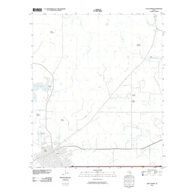 2010 Cisco North2010 Print · USGSCisco and its surrounding oil fields are captured here during the early twenty-first century, showing the city's transition toward the modern era. Genealogists and historians can trace family roots through the Cisco Historic District and several outlying burial grounds like Reagan Cemetery and Oakwood Cemetery.
 - 2010 Map of Desdemona, 2010 Print
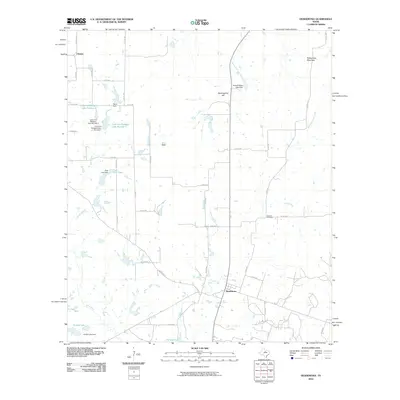 2010 Desdemona2010 Print · USGSDesdemona and the surrounding Eastland County ranchlands are documented here at the start of the millennium. Researchers can trace local history through sites like Howard Cemetery or follow the waters of the Leon River past Pack Lake and Mockingbird Hill.
 - 2010 Map of Harpersville, 2010 Print
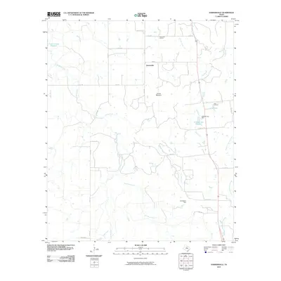 2010 Harpersville2010 Print · USGSHarpersville and the rural expanses of Stephens County are captured here in the early twenty-first century. Researchers can locate family landmarks and water sources like the Harpersville Cemetery, Double Mountain, and H Graden Dye Reservoir.
 - 2011 Map of Wayland, 2011 Print
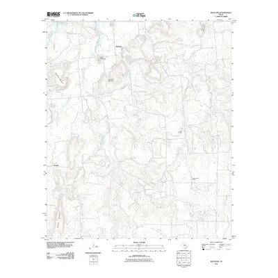 2011 Wayland2011 Print · USGSThe rural landscape of Stephens County in the early twenty-first century is defined by the rugged hills surrounding Wayland and Gunsight. Researchers can trace local lineage at Acker Cemetery and examine the geography of the Middle Fork Gunsolus Creek and Gunsight Mountain.
Showing maps 1-25 of 104
Top cities of Eastland County
- Eastland historical maps
- Cisco historical maps
- Ranger historical maps
- Gorman historical maps
- Rising Star historical maps
- Olden historical maps
See more
Frequently asked questions
- What are the different types of historical maps available for Eastland County?
- What is the oldest map of Eastland County?
- Where can I purchase historical maps of Eastland County for my home or office?
- Where can I download high-res historical maps of Eastland County?
- Are there historical topographic maps available for Eastland County?
- Is there historical aerial imagery available for Eastland County?
- Where are historical maps of Eastland County sourced from?