Old Maps of Hamlin, Texas for Hiking & Exploration
Hike through history with 28 historic maps of Hamlin. Explore old trails, ghost towns, and forgotten backroads — perfect for outdoor adventurers and local explorers.
- Rediscover forgotten places: Map out old mining camps, roads, and footpaths that no longer exist on modern maps.
- Layer with modern tools: Combine with LiDAR or satellite views to plan hikes through historical terrain.
- Made for exploration: Popular among hikers, overlanders, and local history lovers.
Use these maps to find adventure and explore the hidden past of Hamlin.
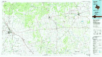
Hamlin, TX maps
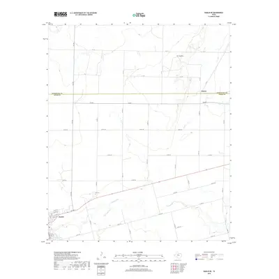
(28)- 1893 Map of Roby
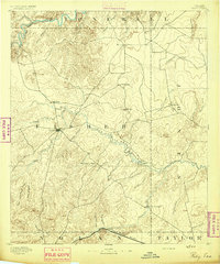 1893 Roby1893 Print · USGSFisher and Jones Counties come alive in the 1890s as early ranching settlements and rail sidings begin to dot the West Texas plains. Researchers can trace the early layout of Roby and locate lost community sites like Swedonia, Taopi, or the Winters Chapel congregation.4 unique versions available
 - 1954 Map of Big Spring, 1965 Print
 1954 Big Spring1965 Print · USGSWest Texas in the mid-1950s shows a landscape of growing oil towns and vital rail links along the Texas and Pacific RR. Researchers can trace the development of Big Spring, find smaller settlements like Knott and Lomax, or locate landmarks such as Boyds Chapel and Signal Mountain.4 unique versions available
 - 1958 Map of Big Spring
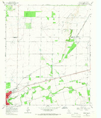
 1958 Big Spring1958 Print · USGSThe West Texas oil boom was in full swing during the late fifties, transforming the landscape around Howard and Mitchell counties. Genealogists and historians can trace the growth of Big Spring and Snyder alongside industrial landmarks like the Kelly-Snyder Oil Field and the Santa Fe rail lines.
 - 1965 Map of Hamlin NE, 1967 Print
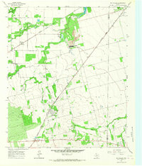
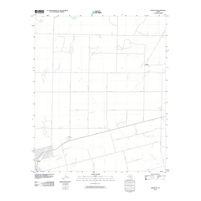
 1965 Hamlin NE1967 Print · USGSThe West Texas ranching and oil country around Hamlin is captured here in the mid-sixties, showing a landscape defined by rail lines and resource extraction. Researchers can trace the legacy of the Atchison Topeka and Santa Fe, the East Cem, and the high ground of Flat Top Mountain.
 - 1965 Map of Neinda, 1967 Print
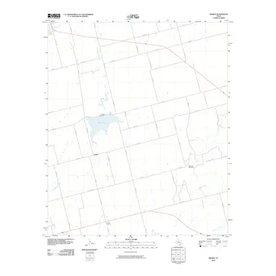
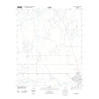
 1965 Neinda1967 Print · USGSJones County's rural landscape is captured here in the mid-1960s, showing the intersection of ranching and oil production. Researchers can trace the layout of Neinda and Boyds Chapel, find the local Cem, and locate the old Drive-in Theater near Hamlin.
 - 1965 Map of Hamlin NW, 1967 Print
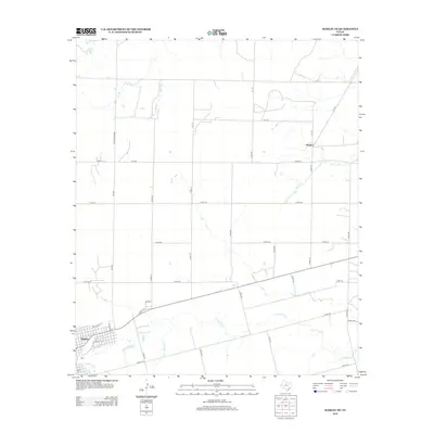
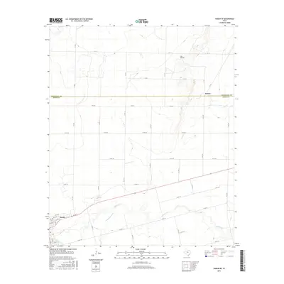
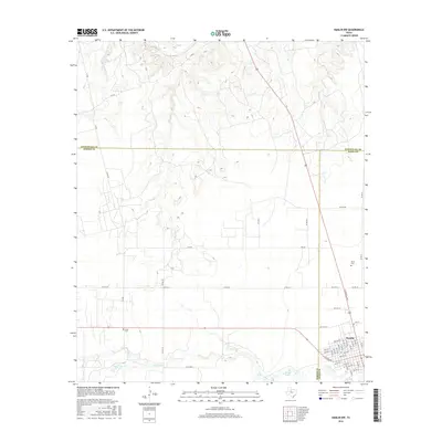
 1965 Hamlin NW1967 Print · USGSFisher and Stonewall Counties in the mid-sixties reveal a landscape defined by petroleum production and rural community life. Researchers can trace family history at Afton Cem or locate vanished landmarks like Pardue Camp and Hitson.
 - 1965 Map of McCaulley, 1967 Print
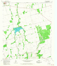
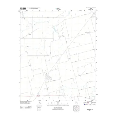
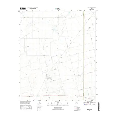
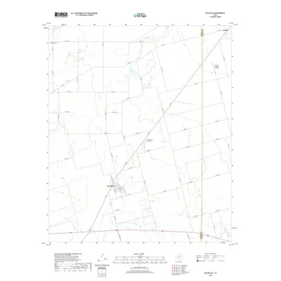
 1965 McCaulley1967 Print · USGSFisher County and Jones County intersect in this mid-1960s survey of a rural Texas rail and mining corridor. Researchers can trace the industrial footprint of the Celotex plant and Strip Mine or locate family graves at the Swedonia Cem.2 unique versions available
 - 1985 Map of Snyder
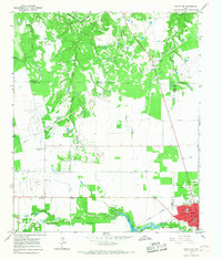
 1985 Snyder1985 Print · USGSMid-1980s Scurry and Fisher Counties are captured here as a landscape of rail-driven commerce and river-bottom agriculture. Researchers can trace the pathways of the Missouri Pacific railroad or locate family-named landmarks like Mc Caulley and Hermleigh.2 unique versions available
 - 2010 Map of Hamlin NW, 2010 Print
 2010 Hamlin NW2010 Print · USGSCovers Hamlin, including Hitson, Jones County, and other nearby areas
 - 2010 Map of McCaulley, 2010 Print
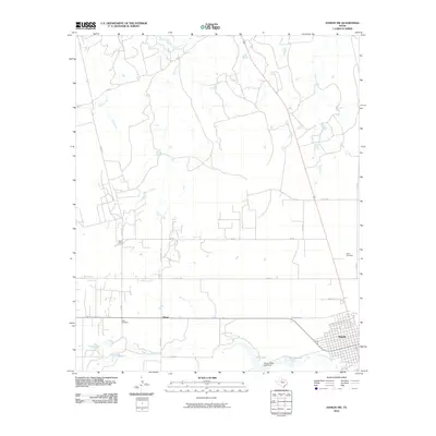
 2010 McCaulley2010 Print · USGSCovers Hamlin, including McCaulley, Reynolds, and other nearby areas
 - 2010 Map of Hamlin NE, 2010 Print
 2010 Hamlin NE2010 Print · USGSCovers Hamlin, including Pastura, Jones County, and other nearby areas
 - 2010 Map of Neinda, 2010 Print
 2010 Neinda2010 Print · USGSCovers Hamlin, including Neinda, Jones County, and other nearby areas
 - 2012 Map of Hamlin NE, 2012 Print
 2012 Hamlin NE2012 Print · USGSCovers Hamlin, including Pastura, Jones County, and other nearby areas
 - 2012 Map of McCaulley, 2012 Print
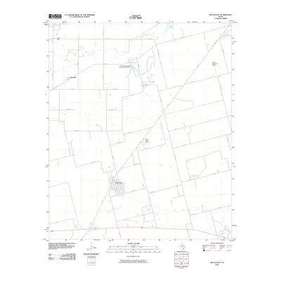
 2012 McCaulley2012 Print · USGSCovers Hamlin, including McCaulley, Reynolds, and other nearby areas
 - 2012 Map of Neinda, 2012 Print
 2012 Neinda2012 Print · USGSCovers Hamlin, including Neinda, Jones County, and other nearby areas
 - 2012 Map of Hamlin NW, 2012 Print
 2012 Hamlin NW2012 Print · USGSCovers Hamlin, including Hitson, Jones County, and other nearby areas
 - 2016 Map of Hamlin NE, 2016 Print
 2016 Hamlin NE2016 Print · USGSCovers Hamlin, including Pastura, Jones County, and other nearby areas
 - 2016 Map of Hamlin NW, 2016 Print
 2016 Hamlin NW2016 Print · USGSCovers Hamlin, including Hitson, Jones County, and other nearby areas
 - 2016 Map of McCaulley, 2016 Print
 2016 McCaulley2016 Print · USGSCovers Hamlin, including McCaulley, Reynolds, and other nearby areas
 - 2016 Map of Neinda, 2016 Print
 2016 Neinda2016 Print · USGSCovers Hamlin, including Neinda, Jones County, and other nearby areas
 - 2019 Map of McCaulley, 2019 Print
 2019 McCaulley2019 Print · USGSCovers Hamlin, including McCaulley, Reynolds, and other nearby areas
 - 2019 Map of Hamlin NW, 2019 Print
 2019 Hamlin NW2019 Print · USGSCovers Hamlin, including Hitson, Jones County, and other nearby areas
 - 2019 Map of Hamlin NE, 2019 Print
 2019 Hamlin NE2019 Print · USGSCovers Hamlin, including Pastura, Jones County, and other nearby areas
 - 2019 Map of Neinda, 2019 Print
 2019 Neinda2019 Print · USGSCovers Hamlin, including Neinda, Jones County, and other nearby areas
 - 2022 Map of Neinda, 2022 Print
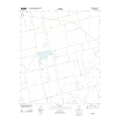
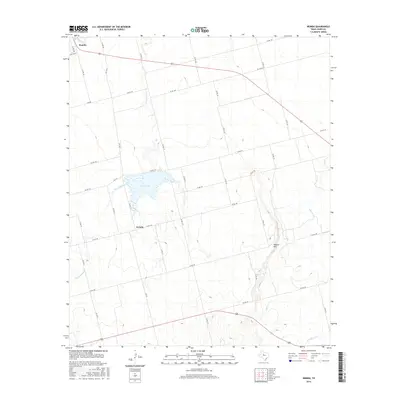
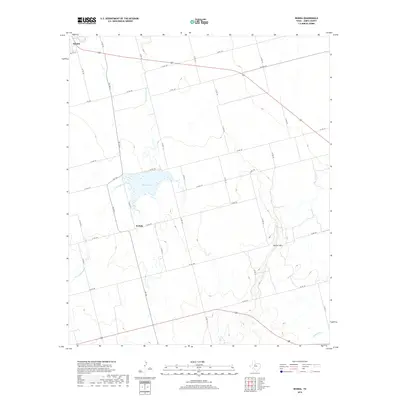
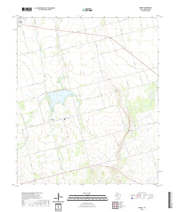 2022 Neinda2022 Print · USGSJones County at the turn of the decade reveals a landscape shaped by rural ranching and creek drainages. Researchers can locate family sites near Neinda and Neinda Cem, or trace the path of California Cr toward South Lake.
Showing maps 1-25 of 28
Frequently asked questions
- What are the different types of historical maps available for Hamlin?
- What is the oldest map of Hamlin?
- Where can I purchase historical maps of Hamlin for my home or office?
- Where can I download high-res historical maps of Hamlin?
- Are there historical topographic maps available for Hamlin?
- Is there historical aerial imagery available for Hamlin?
- Where are historical maps of Hamlin sourced from?