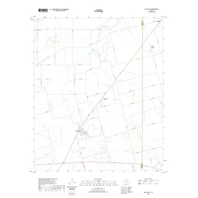
2019 Map of McCaulley
USGS Topo · Published 2019About this map
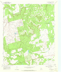
McCaulley sits at the junction of FM 57 and FM 1812 N, serving as a central point in this stretch of West Texas. The landscape is defined by the drainage of California Cr and the presence of localized water bodies such as Plasterco Lake and West Lake. Evidence of the region’s aviation infrastructure is clear, with both the Hamlin Municipal Airport and Killion Ranch Airport situated near the county line between Fisher Co and Jones Co.
Find a feature on this map
55 named features on this map. Tap any name to fly to it.
Don’t see what you’re looking for? This feature index may not catch every label — zoom into the map to look around manually.
Map Details
Editions of this 2019 McCaulley Map
This is the sole edition of this map. No revisions or reprints were ever made.
Other maps of this area

1893 · Roby
USGS Topo · 1:125,000

1931 · Rotan
USGS Topo · 1:62,500

1954 · Big Spring
USGS Topo · 1:250,000

1957 · Noodle
USGS Topo · 1:62,500

1958 · Big Spring
USGS Topo · 1:250,000
1965 · Hamlin NE
USGS Topo · 1:24,000
1965 · Neinda
USGS Topo · 1:24,000
1965 · Hamlin NW
USGS Topo · 1:24,000

1965 · McCaulley
USGS Topo · 1:24,000
1969 · Poke Mountain
USGS Topo · 1:24,000