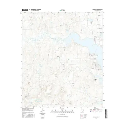
Old Maps of Coffee City, Texas for Metal Detecting
Plan your next treasure hunt with 32 historic maps of Coffee City. Find old homesites, ghost towns, trails, and gathering spots that may be lost to time — perfect for identifying promising metal detecting locations.
- Locate forgotten sites: Uncover places like long-lost settlements, abandoned rail lines, or gathering spots.
- Plan better hunts: Use map overlays combined with LiDAR or satellite views to narrow in on historically rich areas.
- Made for detectorists: Thousands of hobbyists use these maps to discover relics, coins, and hidden history.
Use these historic maps to boost your research and find new opportunities beneath the surface of Coffee City.
Coffee City, TX maps
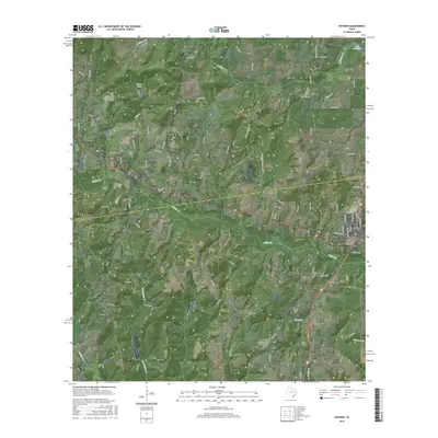
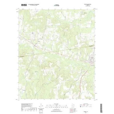
(32)- 1946 Map of Bullard, 1960 Print
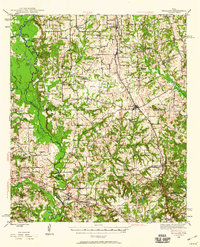 1946 Bullard1960 Print · USGSEast Texas rail and river life converge in the 1940s as the St Louis Southwestern tracks link rural farming hubs. Trace local family history through numerous landmarks like Larissa Cem, the Kickapoo Monument, and Mount Selman.2 unique versions available
 - 1948 Map of Bullard
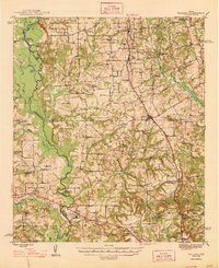 1948 Bullard1948 Print · USGSNortheastern Cherokee and southern Smith counties are captured here in the late forties, showcasing a network of rural schools and rail-fed towns. Genealogists can trace family sites at Larissa Cem, Mount Comfort Ch, and the high ground of Kickapoo Mtn.
 - 1949 Map of Frankston, 1964 Print
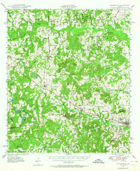 1949 Frankston1964 Print · USGSEast Texas ranching and timber country at the end of the 1940s was defined by the Southern Pacific rail line and small rural school districts. Researchers can find many family landmarks, from Moores Station and Fincastle to the Lapoynor Sch and Alligator Cem.3 unique versions available
 - 1950 Map of Frankston
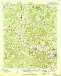 1950 Frankston1950 Print · USGSThe Southern Pacific corridor between Henderson and Anderson Counties comes alive in this mid-century survey. Genealogists and historians can trace family roots at New York and Fincastle, or locate rural landmarks like Central High Sch and Rounsavall Cem.
 - 1956 Map of Tyler
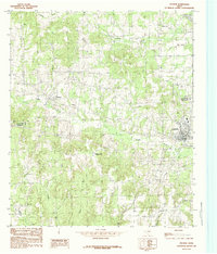
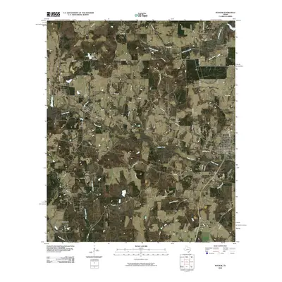
 1956 Tyler1956 Print · USGSEast Texas was a powerhouse of oil production and rail transport during the mid-fifties, centered on the sprawling East Texas Oil Field. Researchers can trace the heritage of industrial hubs like Kilgore, military sites such as the Longhorn Ordnance Works, and many rural landmarks like Mount Enterprise.5 unique versions available
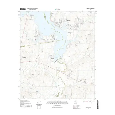
 - 1973 Map of Berryville, 1976 Print
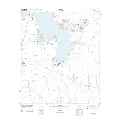
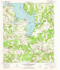 1973 Berryville1976 Print · USGSLake Palestine and the Neches River valley define this East Texas landscape in the early seventies as new shorelines met established rail towns. Genealogists can trace family names through Kickapoo Cem, Wafford Cem, and the Kickapoo Battlefield Monument.2 unique versions available
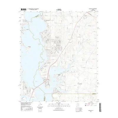
 - 1973 Map of Saline Bay, 1976 Print
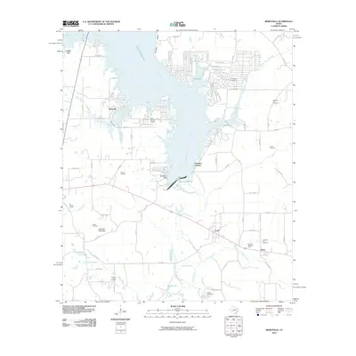
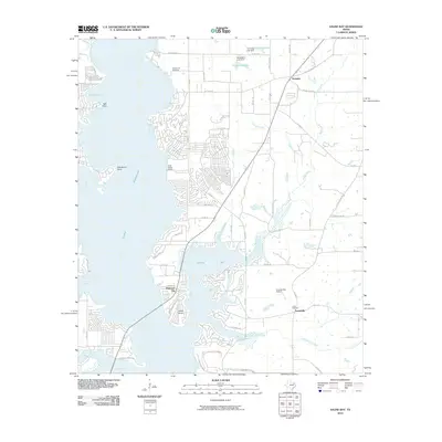
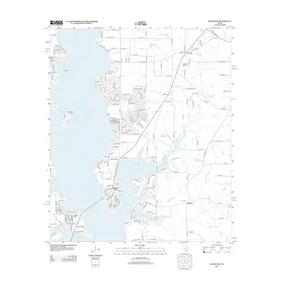
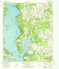 1973 Saline Bay1976 Print · USGSThe East Texas lakefront was rapidly evolving in the early seventies as Lake Palestine submerged the old Neches River valley. Researchers can trace the development of Coffee City or locate rural sites like Bethlehem Church and Loffin Cemetery.3 unique versions available
 - 1984 Map of Tyler
 1984 Tyler1984 Print · USGSEast Texas at the peak of its reservoir-building era shows a landscape defined by new lakes and established rail corridors. Trace the path of the St Louis Southwestern RR or locate industrial sites like the Longhorn Ordnance Works.3 unique versions available
 - 1984 Map of Poynor
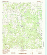
 1984 Poynor1984 Print · USGSEast Texas ranch lands and creek bottoms define this area in the late seventies and early eighties. Genealogists and researchers can trace local family landmarks like the Pleasant Hill Cemetery and the small communities of Poynor, Frankston, and Fosterville.
 - 1984 Map of Moore Station
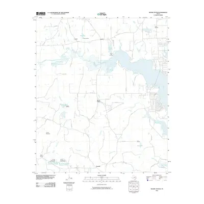
 1984 Moore Station1984 Print · USGSHenderson County, Texas, is captured here in the mid-eighties as the local landscape adapts to the presence of Lake Palestine. Researchers can trace old family sites and rural settlements from Moore Station and Fincastle to the Antioch Ch.
 - 1985 Map of Tyler
 1985 Tyler1985 Print · USGSEast Texas in the mid-eighties centers on the growth of Tyler and the expansive waters of Lake Palestine. Genealogists and researchers can trace family landmarks like Henry's Chapel and Browning Cem alongside the routes of the Southern Pacific RR.
 - 1991 Map of Tyler
 1991 Tyler1991 Print · USGSEast Texas in the early nineties centered on the expansion of Tyler and the recreational draw of Lake Palestine. Researchers can trace the layout of smaller communities like Ben Wheeler, Frankston, and Troup as they existed before modern suburban growth.
 - 2010 Map of Berryville, 2010 Print
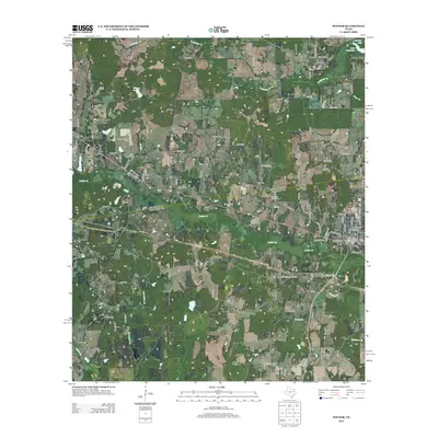
 2010 Berryville2010 Print · USGSCovers Coffee City, including Frankston, Berryville, and other nearby areas
 - 2010 Map of Moore Station, 2010 Print
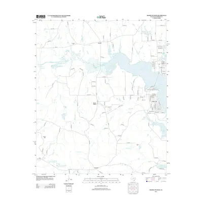
 2010 Moore Station2010 Print · USGSCovers Coffee City, including Moore Station, Antioch, and other nearby areas
 - 2010 Map of Poynor, 2010 Print
 2010 Poynor2010 Print · USGSCovers Coffee City, including Frankston, Poynor, and other nearby areas
 - 2010 Map of Saline Bay, 2010 Print
 2010 Saline Bay2010 Print · USGSCovers Coffee City, including Noonday, Teaselville, and other nearby areas
 - 2012 Map of Berryville, 2012 Print
 2012 Berryville2012 Print · USGSCovers Coffee City, including Frankston, Berryville, and other nearby areas
 - 2012 Map of Saline Bay, 2012 Print
 2012 Saline Bay2012 Print · USGSCovers Coffee City, including Noonday, Teaselville, and other nearby areas
 - 2012 Map of Poynor, 2012 Print
 2012 Poynor2012 Print · USGSCovers Coffee City, including Frankston, Poynor, and other nearby areas
 - 2013 Map of Moore Station, 2013 Print
 2013 Moore Station2013 Print · USGSCovers Coffee City, including Moore Station, Antioch, and other nearby areas
 - 2016 Map of Poynor, 2016 Print
 2016 Poynor2016 Print · USGSCovers Coffee City, including Frankston, Poynor, and other nearby areas
 - 2016 Map of Berryville, 2016 Print
 2016 Berryville2016 Print · USGSCovers Coffee City, including Frankston, Berryville, and other nearby areas
 - 2016 Map of Saline Bay, 2016 Print
 2016 Saline Bay2016 Print · USGSCovers Coffee City, including Noonday, Teaselville, and other nearby areas
 - 2016 Map of Moore Station, 2016 Print
 2016 Moore Station2016 Print · USGSCovers Coffee City, including Moore Station, Antioch, and other nearby areas
 - 2019 Map of Poynor, 2019 Print
 2019 Poynor2019 Print · USGSCovers Coffee City, including Frankston, Poynor, and other nearby areas
Showing maps 1-25 of 32
Top cities near Coffee City
- Tyler historical maps
- Jacksonville historical maps
- Athens historical maps
- Chandler historical maps
- Bullard historical maps
- Frankston historical maps
See more
Frequently asked questions
- What are the different types of historical maps available for Coffee City?
- What is the oldest map of Coffee City?
- Where can I purchase historical maps of Coffee City for my home or office?
- Where can I download high-res historical maps of Coffee City?
- Are there historical topographic maps available for Coffee City?
- Is there historical aerial imagery available for Coffee City?
- Where are historical maps of Coffee City sourced from?