2000s (21st Century) Maps of Hopkins County, Texas
Explore 105 historic maps of Hopkins County from the 2000s (21st Century). These maps offer a rare glimpse into what life looked like during the 2000s — showing old roads, neighborhoods, homes, and landmarks that have changed or disappeared over time.
Whether you're researching your family's past, planning a metal detecting trip, or studying how Hopkins County's landscape evolved across the 2000s, these high-resolution maps are a powerful tool for exploring the history of this region.
- Focus on a specific era: All maps on this page are from the 2000s, giving you a focused view of this time period.
- See what’s changed: Compare century-old streets, trails, and buildings to today's modern landscape using overlays and satellite layers.
- Research with precision: Use these maps for genealogy, historical research, land use analysis, or educational projects.
- View, download, or print: Maps are fully viewable online in high resolution, and can be downloaded or printed for your own records.
Start exploring Hopkins County's history through authentic maps from the 2000s. This is your window into the past.
Hopkins County, TX maps
(105)- 2010 Map of Cooper South, 2010 Print
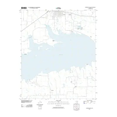 2010 Cooper South2010 Print · USGSDelta County's rural landscape is centered around the expanse of Cooper Lake in the early twenty-first century. Genealogists and local historians can trace family roots at Oak Lawn Cemetery and Lindley Cemetery or locate old community centers like Peerless and Liberty Grove.
 - 2010 Map of Dike, 2010 Print
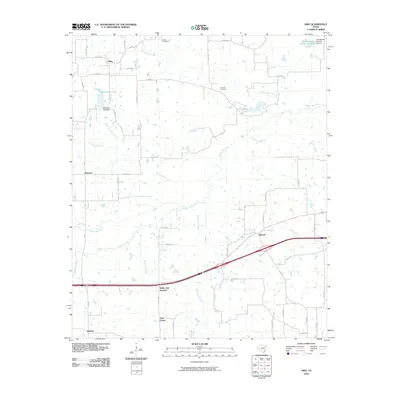 2010 Dike2010 Print · USGSNorth of the county seat in the early 2010s, this area of Hopkins County shows a network of creek-fed lands and small rural crossroads. Researchers can trace family sites near Connor Cemetery or locate the settlements of Dike, Mahoney, and Weaver.
 - 2010 Map of Cumby, 2010 Print
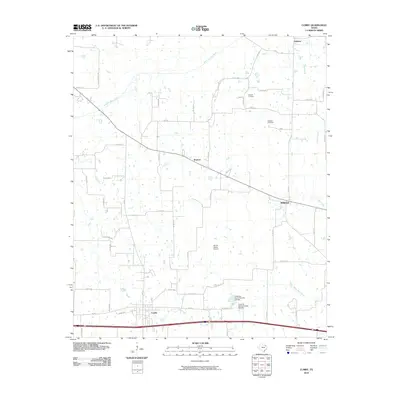 2010 Cumby2010 Print · USGSHunt County's rural landscape is captured here during the first decade of the millennium, showing the region's agricultural and transportation hubs. Researchers can locate family sites near Oakland Cemetery or trace the routes through Ridgeway, Branom, and Emblem.
 - 2010 Map of Como, 2010 Print
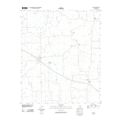 2010 Como2010 Print · USGSEastern Hopkins County and its network of rural communities are captured here in the early twenty-first century. Genealogists and local historians can trace family locations near Como, Pickton, and historic burial grounds like Woodland or Coffee Cemetery.
 - 2010 Map of Saltillo, 2010 Print
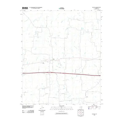 2010 Saltillo2010 Print · USGSSaltillo and the surrounding Hopkins County countryside are captured here in the early twenty-first century as the interstate corridor reshaped local transit. Genealogists and local historians can locate Stouts Creek Cemetery and the settlement at Union or trace the many branches of Big Creek.
 - 2010 Map of Miller Grove, 2010 Print
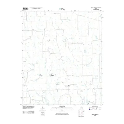 2010 Miller Grove2010 Print · USGSThis Hopkins County countryside shows the quiet rural character of northeast Texas in the early 2000s. Genealogists can trace family connections at Sunny Point Cemetery, Long Cemetery, and Donelton Cemetery near the community of Miller Grove.
 - 2010 Map of Sulphur Springs, 2010 Print
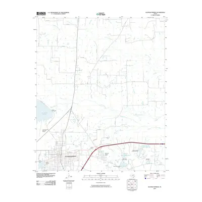 2010 Sulphur Springs2010 Print · USGSSulphur Springs and its surrounding rural landscapes are captured here during a period of sustained growth in Northeast Texas. Researchers can trace local infrastructure from the Sulphur Springs Municipal Airport to water features like Lake Coleman and White Oak Creek.
 - 2010 Map of Emory North, 2010 Print
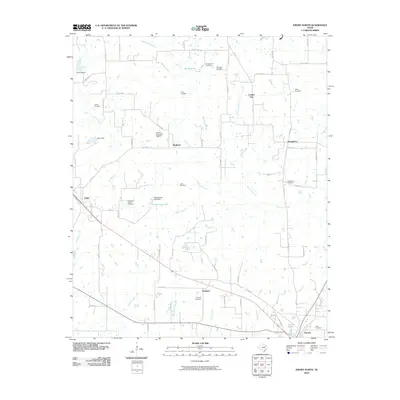 2010 Emory North2010 Print · USGSRains County settlements and family lands are captured here during a period of steady rural continuity. Genealogists can trace family heritage through a remarkable cluster of burial grounds including Hill Pippin Cemetery, Clifton Cemetery, and Parks Cemetery.
 - 2010 Map of Winnsboro, 2010 Print
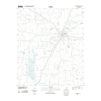 2010 Winnsboro2010 Print · USGSThe East Texas town of Winnsboro is shown here in the early twenty-first century, surrounded by a landscape of energy production and managed water. Researchers can trace the footprints of the Winnsboro Oil Field, Lee Cemetery, and the shores of Lake Winnsboro.
 - 2010 Map of Tira, 2010 Print
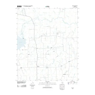 2010 Tira2010 Print · USGSNorthern Hopkins County at the turn of the millennium shows a landscape of small farming communities and river bottomlands. Researchers can locate family landmarks like Aiguier Cemetery and trace the rural layouts of Tira, Birthright, and Oakdale.
 - 2010 Map of Gafford Chapel, 2010 Print
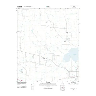 2010 Gafford Chapel2010 Print · USGSHopkins County at the start of the 2010s reveals a patchwork of rural communities and expanding water works near the county seat. Genealogists and local historians can trace family roots through Gafford Chapel and the settlements of Pleasant Grove and Overland.
 - 2010 Map of Sulphur Bluff, 2010 Print
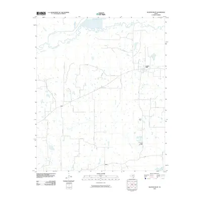 2010 Sulphur Bluff2010 Print · USGSNortheast Texas at the start of the twenty-first century remains a landscape of quiet rural crossroads and cattle country. Researchers can locate family-named landmarks like the D A Jordan Estate Lake and trace the small settlements of Nelta and Flora.
 - 2010 Map of Sulphur Springs SE, 2010 Print
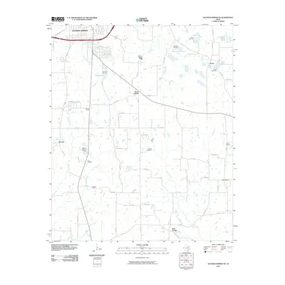 2010 Sulphur Springs SE2010 Print · USGSSulphur Springs and the surrounding rural communities of East Texas are captured here at a time of steady suburban transition. Researchers can locate several key historic burial grounds and gathering places, including Restlawn Memorial Cemetery, Shooks Chapel, and Reilly Springs.
 - 2010 Map of Yantis, 2010 Print
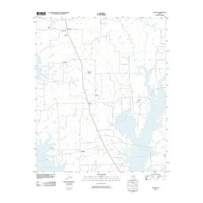 2010 Yantis2010 Print · USGSYantis and the surrounding Wood County countryside are documented here as the reservoir system and energy industry reshaped the local landscape. Genealogists can locate several burial grounds including Holland Cemetery and Seymore Cemetery, or trace the rural corners of Gamblin and Grubbe.
 - 2010 Map of Pleasant Grove, 2010 Print
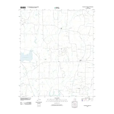 2010 Pleasant Grove2010 Print · USGSWood County at the turn of the decade is defined by a blend of petroleum extraction and large-scale water reservoirs. Researchers can locate the Como Oil Field and Manziel Oil Field or find family sites near Rock Hill Cemetery.
 - 2010 Map of Mitchell Creek, 2010 Print
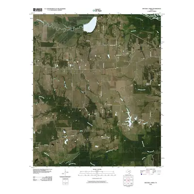 2010 Mitchell Creek2010 Print · USGSFranklin County at the start of the decade reveals a landscape of deep Texas river bottoms and rural oil production. Researchers can trace family history at Keith Cemetery and Colliers Chapel Cemetery or locate industrial sites like the Shell Oil Field.
 - 2010 Map of Purley, 2010 Print
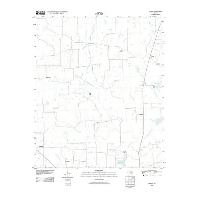 2010 Purley2010 Print · USGSEast Texas at the turn of the millennium is captured here as a landscape of small hamlets and winding creek branches. Genealogists and local historians can trace family roots through Pleasant Hill Cemetery or locate old community centers like Pine Hill and Morris Grove.
 - 2010 Map of Cunningham, 2010 Print
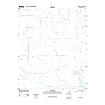 2010 Cunningham2010 Print · USGSCunningham and the rural reaches of Red River County are seen here at the start of the decade, where the north and south forks of the Sulphur River meet. Researchers can trace family history at several local burial grounds, including Restland Cemetery, Woodard Cemetery, and Morris Chapel Cemetery.
 - 2010 Map of Brashear, 2010 Print
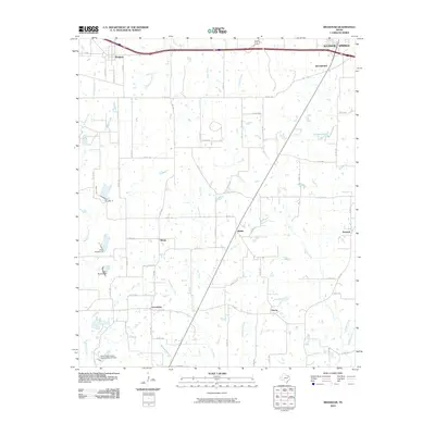 2010 Brashear2010 Print · USGSAgricultural life in Hopkins County at the start of the twenty-first century is captured in this detailed mapping of the rural Texas countryside. Local researchers can trace the roads and waterways connecting communities like Brashear, Greenview, and Shirley.
 - 2010 Map of Klondike, 2010 Print
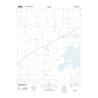 2010 Klondike2010 Print · USGSNortheast Texas farmland and the waters of Cooper Lake define this area during the early twenty-first century. Genealogists can locate family sites near Gough Cemetery or Shiloh Cemetery and trace the rural settlements of Klondike, West Delta, and Needmore.
 - 2011 Map of Arbala, 2011 Print
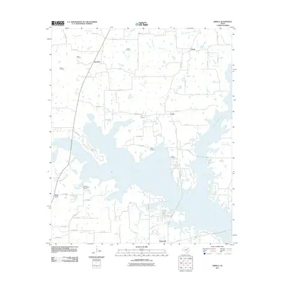 2011 Arbala2011 Print · USGSThe rural communities of Hopkins and Rains counties are shown during the early twenty-first century, centered around the massive Lake Fork Reservoir. Genealogists and local historians can locate numerous family burial sites like Slatter Cemetery and Burke-Yandell Cemetery.
 - 2012 Map of Arbala, 2012 Print
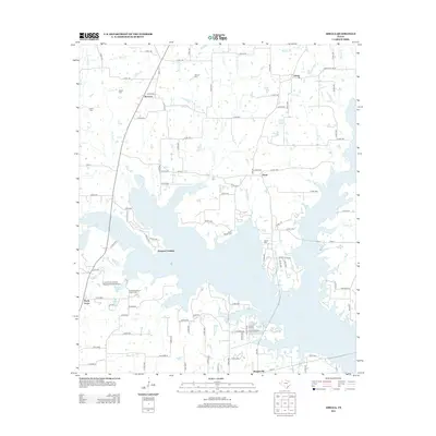 2012 Arbala2012 Print · USGSArbala and the surrounding lake country of East Texas are captured here in the early twenty-first century as modern water projects meet old settlement patterns. Researchers can trace family roots at the Welch Cem or locate historic crossings like Shotgun Crossing and Poole.
 - 2012 Map of Pleasant Grove, 2012 Print
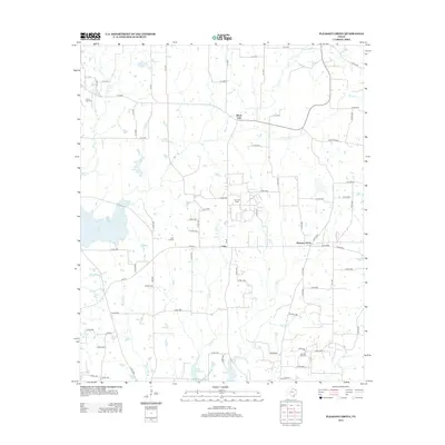 2012 Pleasant Grove2012 Print · USGSWood County at the start of the 2010s reveals a landscape where traditional settlements and active oil fields coexist. Genealogists and local historians can trace family locations near Rock Hill Cem or along the banks of Lake Quitman and Glade Br.
 - 2012 Map of Miller Grove, 2012 Print
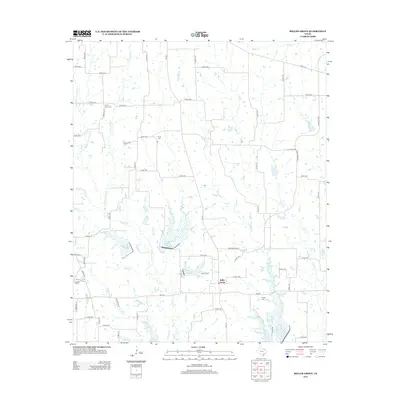 2012 Miller Grove2012 Print · USGSMiller Grove and the surrounding rural landscape of Hopkins County are documented here in the early twenty-first century. Genealogists and local historians can trace family burial sites at Sunny Point Cem, Jordan Cem, and Donelton Cem along the banks of Turkey Cr.
 - 2012 Map of Saltillo, 2012 Print
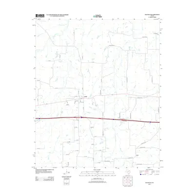 2012 Saltillo2012 Print · USGSSaltillo and the surrounding Hopkins County countryside are shown here in the early twenty-first century as a land shaped by its many creeks. Researchers can locate family landmarks such as Old Saltillo Cem, Stouts Creek Cem, and the settlement at Union.
Showing maps 1-25 of 105
Top cities of Hopkins County
Frequently asked questions
- What are the different types of historical maps available for Hopkins County?
- What is the oldest map of Hopkins County?
- Where can I purchase historical maps of Hopkins County for my home or office?
- Where can I download high-res historical maps of Hopkins County?
- Are there historical topographic maps available for Hopkins County?
- Is there historical aerial imagery available for Hopkins County?
- Where are historical maps of Hopkins County sourced from?