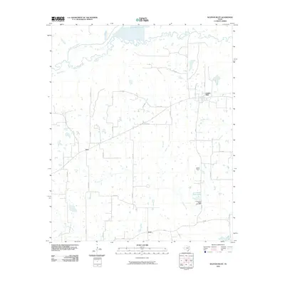
2010 Map of Sulphur Bluff
USGS Topo · Published 2010About this map
Sulphur Bluff and the surrounding northeast Texas countryside are defined by the meandering course of the South Sulphur River, which serves as a primary geographic boundary in this landscape. The settlement of Sulphur Bluff sits at the junction of FM 71 and FM 69, reflecting a rural Texas community centered around its local road network. Evidence of local industry and land management is visible through the Sulphur Bluff Oil Field and the D A Jordan Estate Lake, which is secured by the D A Jordan Estate Lake Dam.
Find a feature on this map
31 named features on this map. Tap any name to fly to it.
Don’t see what you’re looking for? This feature index may not catch every label — zoom into the map to look around manually.
Map Details
Editions of this 2010 Sulphur Bluff Map
This is the sole edition of this map. No revisions or reprints were ever made.
Other maps of this area

1953 · Texarkana
USGS Topo · 1:250,000

1956 · Texarkana
USGS Topo · 1:250,000

1962 · Sulphur Bluff
USGS Topo · 1:24,000

1963 · Mitchell Creek
USGS Topo · 1:24,000

1963 · Minter
USGS Topo · 1:24,000

1963 · Cunningham
USGS Topo · 1:24,000

1964 · Saltillo
USGS Topo · 1:24,000

1964 · Sulphur Springs
USGS Topo · 1:24,000

1964 · Charleston
USGS Topo · 1:24,000

1964 · Tira
USGS Topo · 1:24,000