Old Maps of Lovelady, Texas for Metal Detecting
Plan your next treasure hunt with 16 historic maps of Lovelady. Find old homesites, ghost towns, trails, and gathering spots that may be lost to time — perfect for identifying promising metal detecting locations.
- Locate forgotten sites: Uncover places like long-lost settlements, abandoned rail lines, or gathering spots.
- Plan better hunts: Use map overlays combined with LiDAR or satellite views to narrow in on historically rich areas.
- Made for detectorists: Thousands of hobbyists use these maps to discover relics, coins, and hidden history.
Use these historic maps to boost your research and find new opportunities beneath the surface of Lovelady.
Lovelady, TX maps
(16)- 1953 Map of Palestine, 1964 Print
 1953 Palestine1964 Print · USGSEast Texas was defined by its deep pine forests and burgeoning energy sector in the mid-1950s. Genealogists and historians can trace the rail-and-river economy through settlements like Tennessee Colony and Pollok or explore the early footprints of the Cayuga Oil Field and Davy Crockett National Forest.2 unique versions available
 - 1957 Map of Palestine
 1957 Palestine1957 Print · USGSEast Texas in the mid-fifties reveals a landscape of deep pine forests and winding river valleys before the era of massive reservoir construction. Researchers can trace the legacy of the timber and rail industries through labels for the Missouri Pacific RR, Davy Crockett National Forest, and Nacogdoches.
 - 1962 Map of Lovelady South, 1964 Print
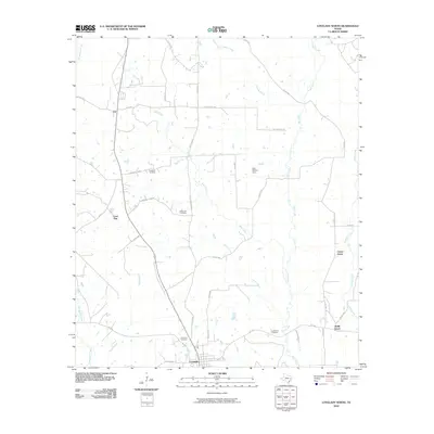
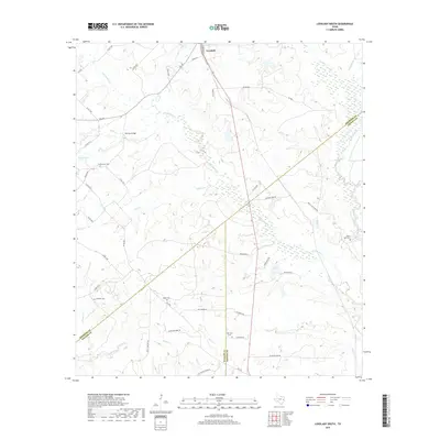
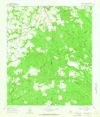 1962 Lovelady South1964 Print · USGSThe woodlands of East Texas are captured here in the early 1960s as a landscape of timber, oil, and rail. Genealogists can locate family landmarks like Prairie Pt Cem, White Rock Ch, and the workings of the Trinity Oil Field.
 - 1963 Map of Lovelady North, 1964 Print
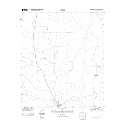
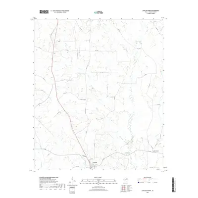
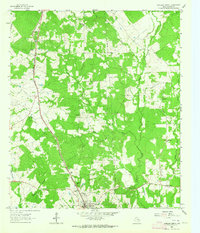 1963 Lovelady North1964 Print · USGSHouston County at the start of the sixties reveals a landscape of rural schoolhouses and family-named cemeteries linked by the Missouri Pacific rail line. Genealogists can trace family footprints at Evergreen Cem, Center Grove Sch, and Anderson Chapel.
 - 1984 Map of Palestine
 1984 Palestine1984 Print · USGSEast Texas in the mid-eighties reveals a landscape of massive reservoirs and protected timberlands between Palestine and Nacogdoches. Researchers can trace old routes like the Missouri Pacific RR and locate rural communities such as Tennessee Colony, Latexo, and Etoile.3 unique versions available
 - 1985 Map of Crockett
 1985 Crockett1985 Print · USGSEast Texas timber and river country are captured here during the mid-eighties, showing the region's transition into the modern era. Genealogists and historians can trace the Old San Antonio Road and locate rural landmarks like Hazel Chapel or Weldon Cem.2 unique versions available
 - 2010 Map of Lovelady South, 2010 Print
 2010 Lovelady South2010 Print · USGSCovers Lovelady, including Red Branch, Walker County, and other nearby areas
 - 2010 Map of Lovelady North, 2010 Print
 2010 Lovelady North2010 Print · USGSCovers Lovelady, including Lone Pine, Center Grove, and other nearby areas
 - 2013 Map of Lovelady North, 2013 Print
 2013 Lovelady North2013 Print · USGSCovers Lovelady, including Lone Pine, Center Grove, and other nearby areas
 - 2013 Map of Lovelady South, 2013 Print
 2013 Lovelady South2013 Print · USGSCovers Lovelady, including Red Branch, Walker County, and other nearby areas
 - 2016 Map of Lovelady North, 2016 Print
 2016 Lovelady North2016 Print · USGSCovers Lovelady, including Lone Pine, Center Grove, and other nearby areas
 - 2016 Map of Lovelady South, 2016 Print
 2016 Lovelady South2016 Print · USGSCovers Lovelady, including Red Branch, Walker County, and other nearby areas
 - 2019 Map of Lovelady North, 2019 Print
 2019 Lovelady North2019 Print · USGSCovers Lovelady, including Lone Pine, Center Grove, and other nearby areas
 - 2019 Map of Lovelady South, 2019 Print
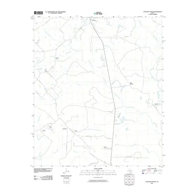
 2019 Lovelady South2019 Print · USGSCovers Lovelady, including Red Branch, Walker County, and other nearby areas
 - 2022 Map of Lovelady North, 2022 Print
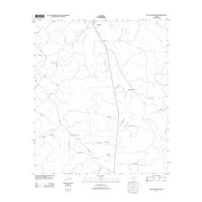
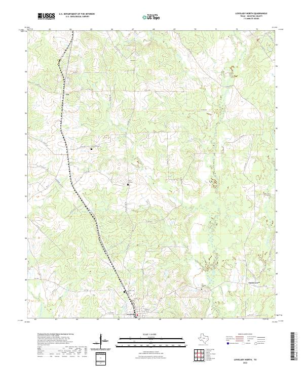 2022 Lovelady North2022 Print · USGSHouston County, Texas, is mapped here in the early twenty-first century, showing a landscape of established rural communities and winding creek bottoms. Researchers can locate family landmarks like Rockland Cem and Evergreen Cem or trace the early paths of Cut and Smith Grove.
 - 2022 Map of Lovelady South, 2022 Print
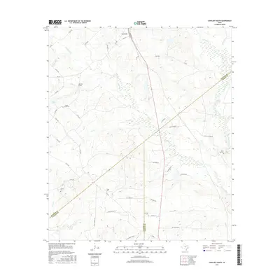
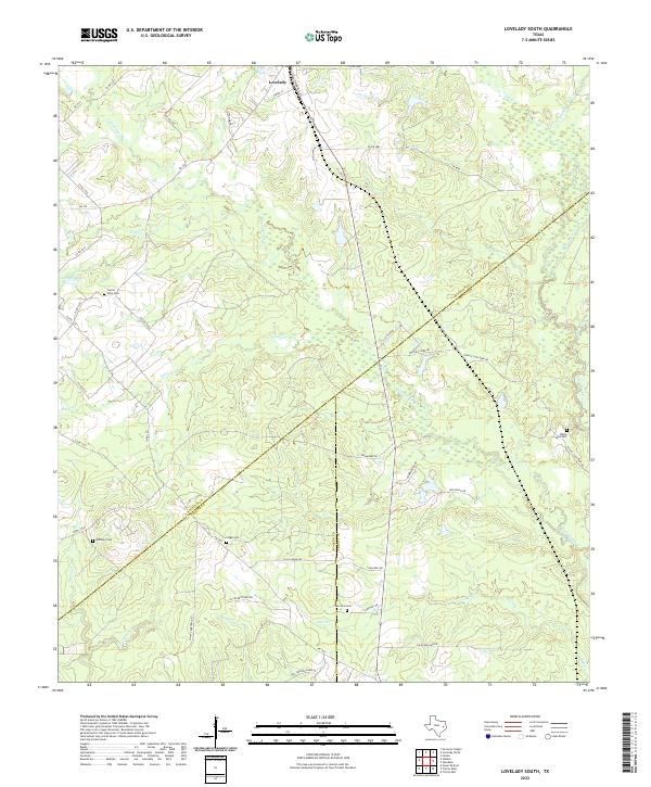 2022 Lovelady South2022 Print · USGSHouston and Trinity counties meet in this 2020s landscape near Lovelady, where small-scale ranching and timber define the terrain. Genealogists can trace local roots across several burial grounds including New Zion Cem and White Rock Cem.
End of results
Showing maps 1-16 of 16
Top cities near Lovelady
Frequently asked questions
- What are the different types of historical maps available for Lovelady?
- What is the oldest map of Lovelady?
- Where can I purchase historical maps of Lovelady for my home or office?
- Where can I download high-res historical maps of Lovelady?
- Are there historical topographic maps available for Lovelady?
- Is there historical aerial imagery available for Lovelady?
- Where are historical maps of Lovelady sourced from?