Old Maps of Indian Hot Springs, Texas for Academic Research
Study the evolution of Indian Hot Springs with 12 high-resolution historic maps. Whether you're teaching, researching, or modeling changes in land use, these maps provide essential visual documentation of urban, environmental, and geographic change.
- Analyze long-term change: Track patterns in development, transportation, and natural features.
- Ideal for environmental or urban studies: Support academic projects with primary historical map data.
- Use in the classroom or lab: Educators and researchers rely on these maps to bring historical context to life.
These maps are a powerful tool for teaching, research, and visualizing how Indian Hot Springs has changed over the decades.
Indian Hot Springs, TX maps
(12)- 1897 Map of Eagle Mountain
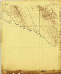 1897 Eagle Mountain1897 Print · USGSThe Trans-Pecos frontier along the United States and Mexico border is captured here in the late nineteenth century. Researchers can trace the rugged terrain from Phinneys Ranch to the life-sustaining waters of Hot Spring and Eagle Spring.3 unique versions available
 - 1916 Map of Eagle Mountain, 1929 Print
 1916 Eagle Mountain1929 Print · USGSThe Texas-Mexico borderlands come into sharp focus during the 1910s as cavalry units and cattle ranches define the high-desert landscape. Researchers can trace military movements at Troop A Crossing and locate historic outposts like Redlight Ranch and Old Bell Place.
 - 1959 Map of Marfa, 1976 Print
 1959 Marfa1976 Print · USGSThe Trans-Pecos frontier is captured here in the mid-twentieth century as cattle ranching and high-altitude science shaped the landscape. Researchers can trace the Southern Pacific rail line through Valentine or locate remote border outposts like Ruidosa and Indian Hot Springs Resort.2 unique versions available
 - 1965 Map of Marfa
 1965 Marfa1965 Print · USGSBig Bend ranching and high-desert rail travel come together in the 1960s along the Rio Grande and the southern reaches of the Davis Mountains. Researchers can trace the lineage of cattle outfits like Brite Ranch and historic stops like Valentine and Candelaria.
 - 1972 Map of Indian Hot Springs, 1975 Print
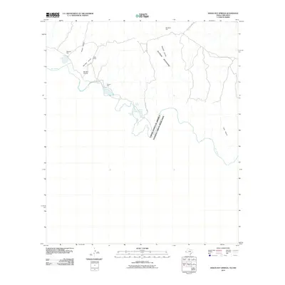
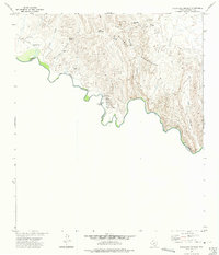 1972 Indian Hot Springs1975 Print · USGSThe Texas-Mexico borderlands come alive in this early 1970s study of the remote Rio Grande corridor. Researchers can trace desert water sources like Indian Hot Springs and Soda Spring or locate landmarks such as Talley Ranch and the nearby Cem.
 - 1984 Map of Indian Hot Springs, 1985 Print
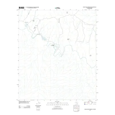
 1984 Indian Hot Springs1985 Print · USGSIn the mid-1980s, the remote borderlands of West Texas remained a territory defined by isolated springs and desert peaks. Researchers can trace the rugged access to Indian Hot Springs and locate historic water points like Eagle Spring and Smugglers Gap.
 - 1993 Map of Indian Hot Springs
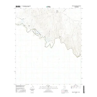
 1993 Indian Hot Springs1993 Print · USGSThe Hudspeth County borderlands along the Rio Grande are documented here in the early nineties, showing a landscape defined by mountain peaks and desert springs. Researchers can locate remote sites like Indian Hot Springs and water sources like Red Bull Spring.
 - 2010 Map of Indian Hot Springs, 2010 Print
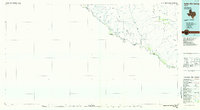
 2010 Indian Hot Springs2010 Print · USGSCovers Indian Hot Springs, including Guadalupe, Hudspeth County, and other nearby areas
 - 2012 Map of Indian Hot Springs, 2012 Print
 2012 Indian Hot Springs2012 Print · USGSCovers Indian Hot Springs, including Guadalupe, Hudspeth County, and other nearby areas
 - 2016 Map of Indian Hot Springs, 2016 Print
 2016 Indian Hot Springs2016 Print · USGSCovers Indian Hot Springs, including Guadalupe, Hudspeth County, and other nearby areas
 - 2019 Map of Indian Hot Springs, 2019 Print
 2019 Indian Hot Springs2019 Print · USGSCovers Indian Hot Springs, including Guadalupe, Hudspeth County, and other nearby areas
 - 2023 Map of Indian Hot Springs, 2023 Print
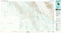
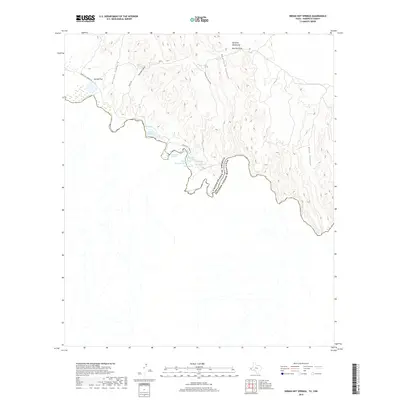
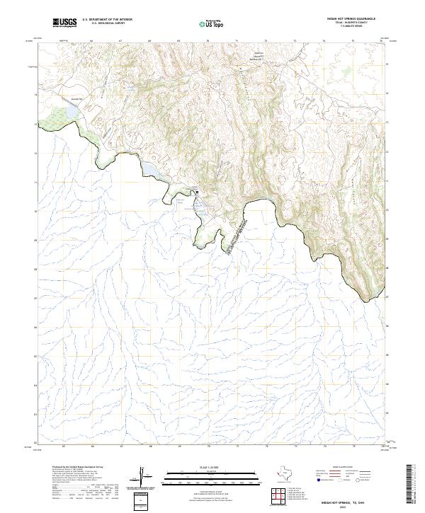 2023 Indian Hot Springs2023 Print · USGSThe international border along the Rio Grande comes alive in this study of Hudspeth County, Texas. Trace the cluster of geothermal features at Indian Hot Springs, including Soda Spring and Chief Springs, alongside the poignant Soldiers Graves near the river.
End of results
Showing maps 1-12 of 12
Frequently asked questions
- What are the different types of historical maps available for Indian Hot Springs?
- What is the oldest map of Indian Hot Springs?
- Where can I purchase historical maps of Indian Hot Springs for my home or office?
- Where can I download high-res historical maps of Indian Hot Springs?
- Are there historical topographic maps available for Indian Hot Springs?
- Is there historical aerial imagery available for Indian Hot Springs?
- Where are historical maps of Indian Hot Springs sourced from?