2020s Maps of Jim Wells County, Texas
Explore 20 historic maps of Jim Wells County from the 2020s. These maps offer a rare glimpse into what life looked like during the 2020s — showing old roads, neighborhoods, homes, and landmarks that have changed or disappeared over time.
Whether you're researching your family's past, planning a metal detecting trip, or studying how Jim Wells County's landscape evolved across the 2020s, these high-resolution maps are a powerful tool for exploring the history of this region.
- Focus on a specific era: All maps on this page are from the 2020s, giving you a focused view of this time period.
- See what’s changed: Compare century-old streets, trails, and buildings to today's modern landscape using overlays and satellite layers.
- Research with precision: Use these maps for genealogy, historical research, land use analysis, or educational projects.
- View, download, or print: Maps are fully viewable online in high resolution, and can be downloaded or printed for your own records.
Start exploring Jim Wells County's history through authentic maps from the 2020s. This is your window into the past.
Jim Wells County, TX maps
(20)- 2022 Map of Kingsville NW, 2022 Print
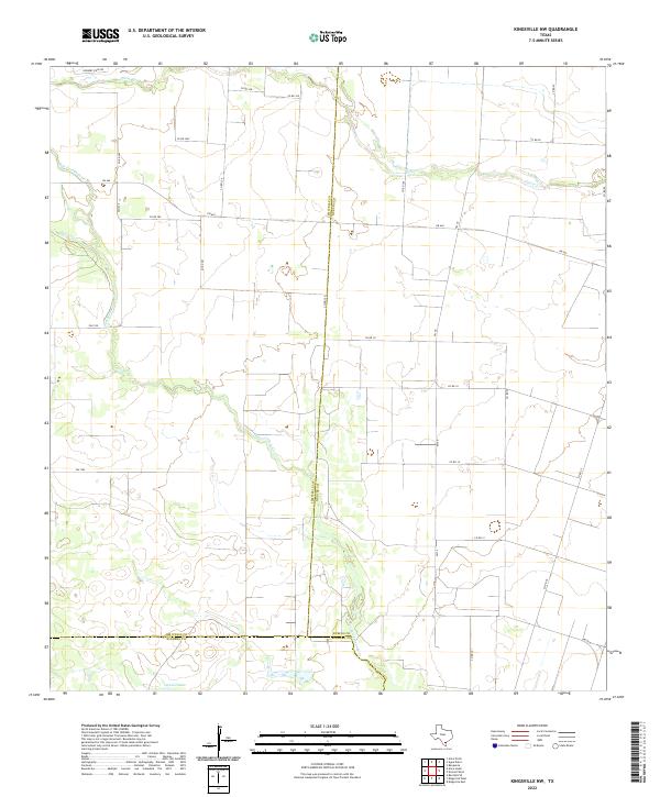 2022 Kingsville NW2022 Print · USGSThe coastal plains of South Texas meet at the intersection of three counties in the 2020s. Trace the rural drainage of San Fernando Cr and the local road networks of FM 665 and Ogados Lake.
 - 2022 Map of San Diego NE, 2022 Print
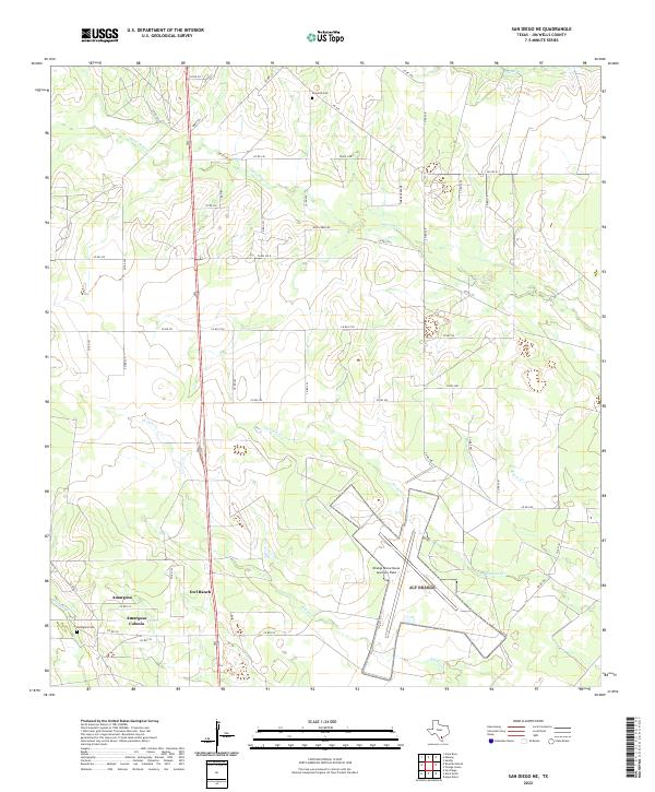 2022 San Diego NE2022 Print · USGSJim Wells County ranchlands are documented here in the early twenty-first century, showing the intersection of military aviation and rural Texas life. Researchers can locate family landmarks like Owl Ranch and Amargosa Cem or trace the winding course of Agua Dulce Cr.
 - 2022 Map of San Patricio, 2022 Print
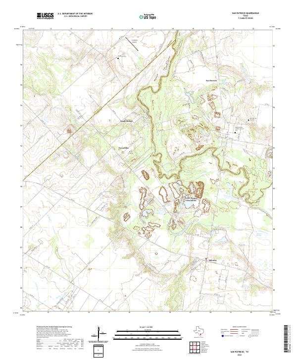 2022 San Patricio2022 Print · USGSThe Nueces River valley in South Texas comes to life here, showing the rural settlements and county lines of the coastal bend. Genealogists can trace family sites at Saint Patrick's Catholic Church Cem, Old Cem On The Hill, and the community of Bluntzer.
 - 2022 Map of Orange Grove, 2022 Print
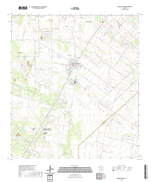 2022 Orange Grove2022 Print · USGSCoastal Bend ranching and residential growth intersect at Orange Grove in this early twenty-first-century record. Genealogists can locate family-named sites like McNeil Cem and Adams Cem, or trace the course of Agua Dulce Cr.
 - 2022 Map of Shaeffer Ranch, 2022 Print
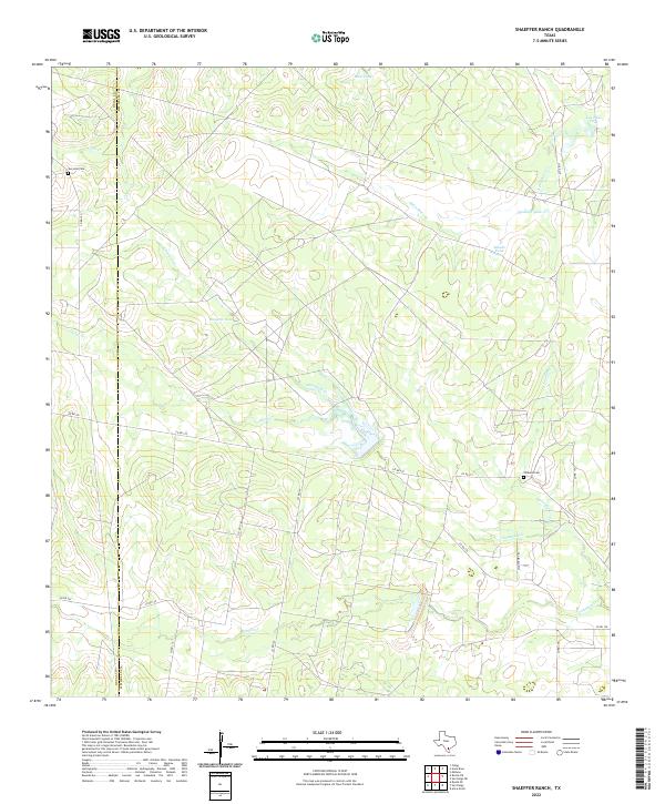 2022 Shaeffer Ranch2022 Print · USGSThe ranchlands spanning the Jim Wells and Duval county line are captured here in the early twenty-first century. Genealogists and local historians can locate remote family sites like San Jose Cemetery and trace the paths of Amargosa Creek and Nighthawk Trail.
 - 2022 Map of Ben Bolt SE, 2022 Print
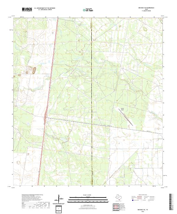 2022 Ben Bolt SE2022 Print · USGSJim Wells and Kleberg counties meet in this South Texas ranching landscape as it appeared in the early 2020s. Researchers can trace seasonal water patterns through Trinidad Lake and the Kleberg County Airport or follow the path of Santa Gertrudis Cr.
 - 2022 Map of San Diego, 2022 Print
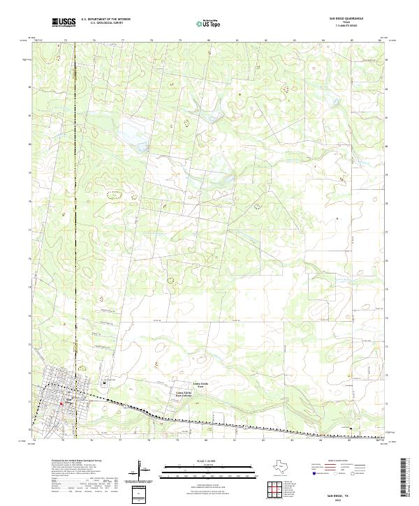 2022 San Diego2022 Print · USGSSan Diego and the Duval-Jim Wells county line are shown here in the 2020s, documenting a landscape where historic town sites meet newer colonia growth. Genealogists can locate San Diego Cemetery and Lara Cemetery, or trace rural tracks like Old Seven Sisters Road.
 - 2022 Map of Seeligson Ranch, 2022 Print
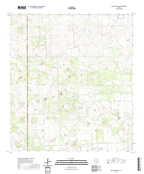 2022 Seeligson Ranch2022 Print · USGSThe border of Jim Wells and Duval counties in South Texas is captured here during the early twenty-first century as a landscape of cattle ranching and private airfields. Genealogists can locate Las Piedritas Cem while tracing drainage patterns along Salado Cr and Jaboncillos Cr.
 - 2022 Map of Alice South, 2022 Print
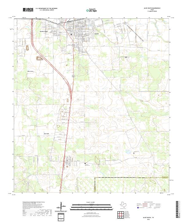 2022 Alice South2022 Print · USGSAlice and the Jim Wells County ranchlands are captured here in the early 2020s as modern transit and traditional settlement patterns converge. Genealogists and local historians can locate several burial sites like Lattas Cem and Las Flores Memorial Cem or trace the growth of Alice Acres.
 - 2022 Map of Ella, 2022 Print
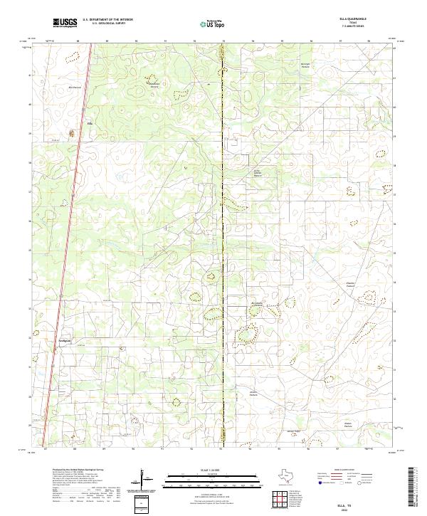 2022 Ella2022 Print · USGSThe ranching country of Jim Wells County remains a landscape of sprawling grazing lands and seasonal creeks in the early twenty-first century. Researchers can trace historic land divisions and remote homesteads through labels like Ella Pasture, Seeligson, and Jensen Trap.
 - 2022 Map of Premont East, 2022 Print
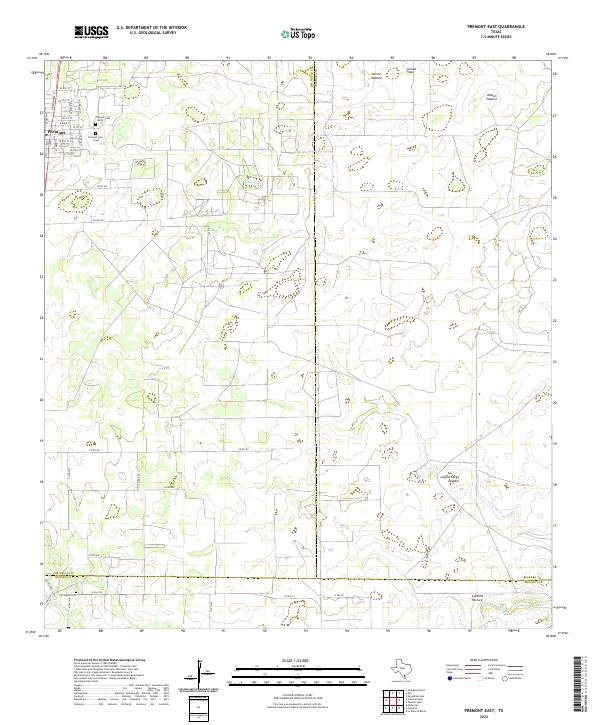 2022 Premont East2022 Print · USGSThe town of Premont and its surrounding ranch lands are shown at the intersection of three Texas counties in the early 2020s. Genealogists and historians can trace family locations through Premont Cem South, Los Olmos Cem, and named tracts like Jensen Pasture.
 - 2022 Map of Agua Dulce, 2022 Print
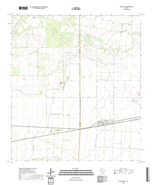 2022 Agua Dulce2022 Print · USGSThe South Texas plains near the Nueces and Jim Wells county line are captured here in the 2020s. Genealogists and historians can trace the settlement patterns of Agua Dulce, Bentonville, and Alfred along the riparian corridors of Rosita Cr.
 - 2022 Map of Palito Blanco, 2022 Print
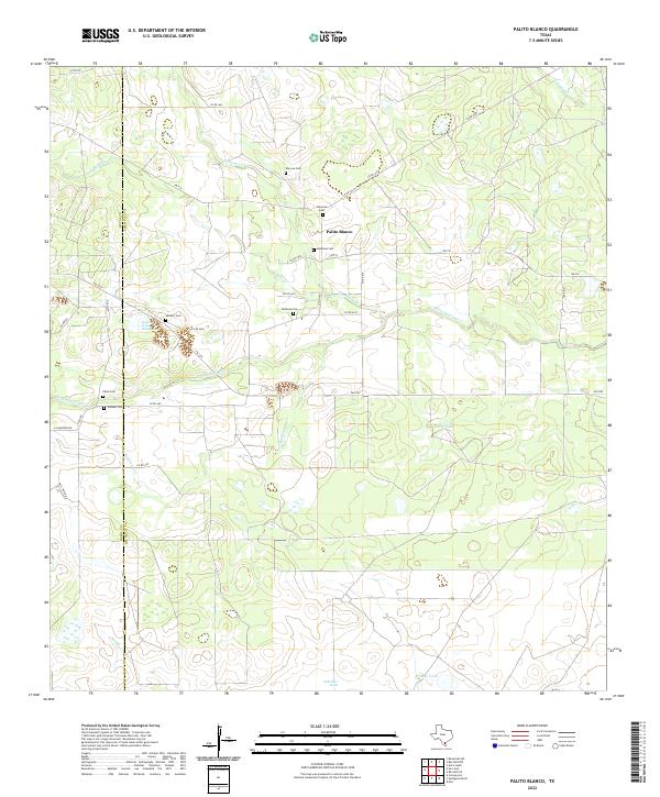 2022 Palito Blanco2022 Print · USGSSouth Texas ranching country comes into focus in this recent study of the Duval and Jim Wells county line. Genealogists can trace family heritage through numerous private burial sites like Hinojosa Cem and Cadenas Cem near the settlement of Palito Blanco.
 - 2022 Map of Ben Bolt NW, 2022 Print
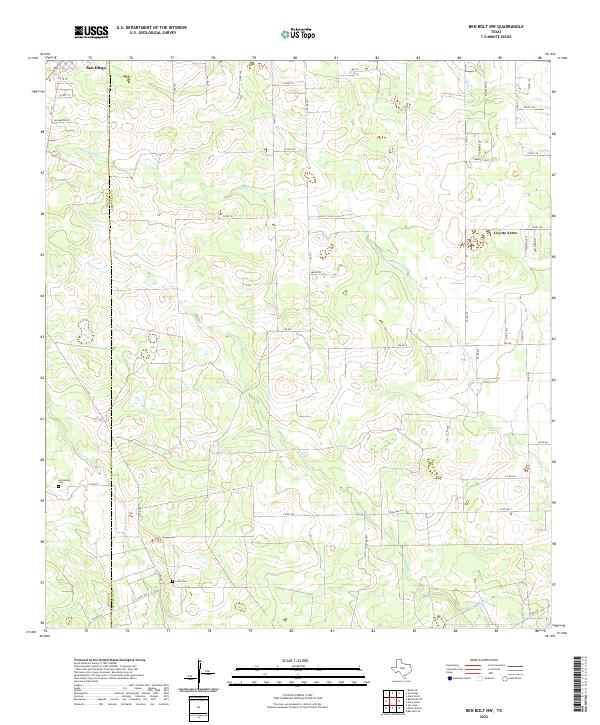 2022 Ben Bolt NW2022 Print · USGSThe South Texas brush country along the Duval and Jim Wells county line is captured here in recent years. Researchers can locate family landmarks and burial sites like La Bretaña Cemetery and Lopez Cemetery among the winding reaches of San Andreas Creek.
 - 2022 Map of Alice North, 2022 Print
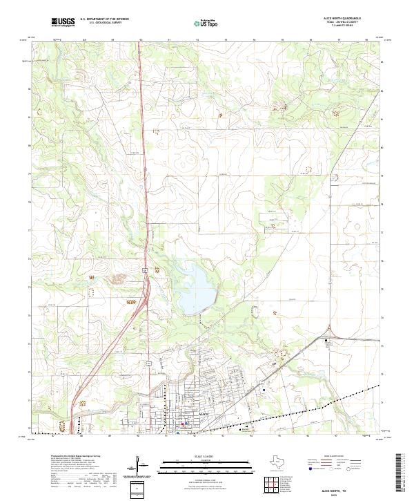 2022 Alice North2022 Print · USGSAlice and the surrounding Jim Wells County ranchlands are captured here in the early twenty-first century. Researchers can trace the development of the city grid near the Jim Wells County Courthouse and locate family burials at Collins Cem or Roselawn Memorial Park.
 - 2022 Map of Premont West, 2022 Print
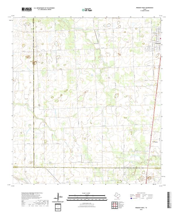 2022 Premont West2022 Print · USGSThe borderlands of Jim Wells, Duval, and Brooks counties come into focus in this contemporary survey of South Texas ranching country. Genealogists and local historians can trace family land access along US Hwy 281 and find landmarks like Weeks Airport and La Gloria.
 - 2022 Map of Anna Rose, 2022 Print
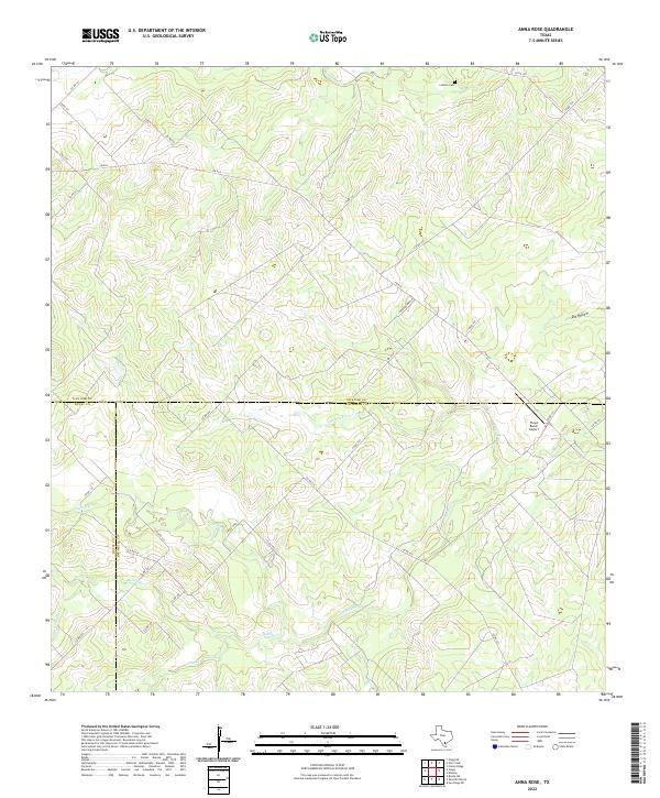 2022 Anna Rose2022 Print · USGSSouth Texas ranch lands at the convergence of Live Oak, Duval, and Jim Wells counties are mapped here in the early twenty-first century. Genealogists and local historians can trace family-named landmarks like Latham Cem or the isolated Floyd Ranch Airport.
 - 2022 Map of Midway, 2022 Print
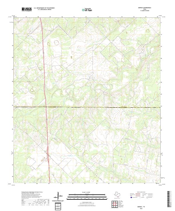 2022 Midway2022 Print · USGSThe South Texas brush country at the border of Live Oak and Jim Wells Counties remains a land of ranches and winding waterways. Trace the paths of Lagarto Cr and Penitas Cr alongside rural landmarks like Dix Hollow and Yucca Trl.
 - 2022 Map of Sandia, 2022 Print
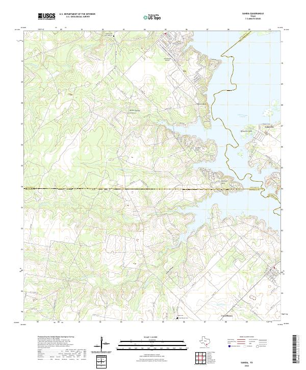 2022 Sandia2022 Print · USGSCoastal Bend ranchlands meet the rising waters of the reservoir in the early 2020s. Genealogists and local historians can trace family sites at Lagarto Cem or explore the waterfront layouts of Lake City and Pernitas Point.
 - 2022 Map of Mathis, 2022 Print
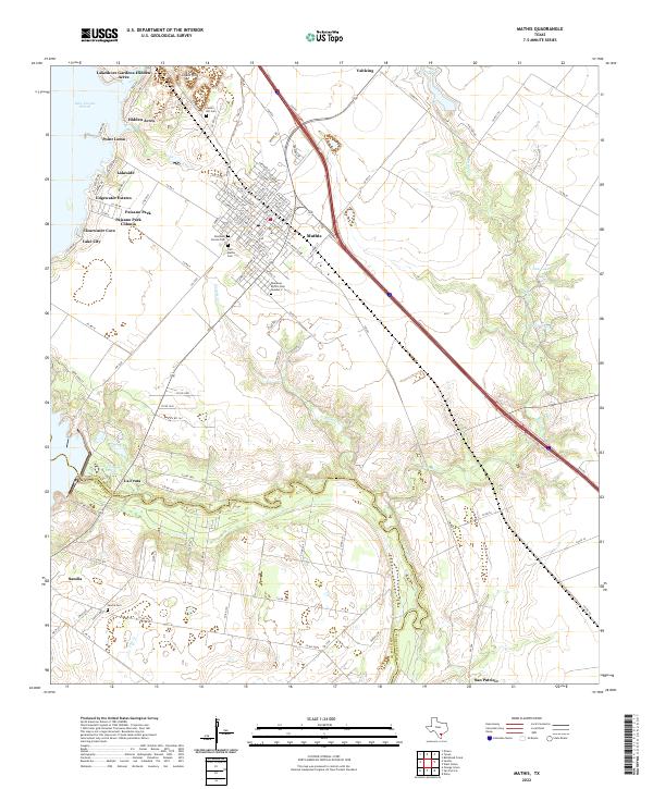 2022 Mathis2022 Print · USGSCoastal Texas life centers on the Nueces River and the reservoir in the early 2020s. Researchers can trace family sites at Tom Mathis Cem and explore established neighborhoods like La Fruta and Edgewater Estates.
End of results
Showing maps 1-20 of 20
Top cities of Jim Wells County
Frequently asked questions
- What are the different types of historical maps available for Jim Wells County?
- What is the oldest map of Jim Wells County?
- Where can I purchase historical maps of Jim Wells County for my home or office?
- Where can I download high-res historical maps of Jim Wells County?
- Are there historical topographic maps available for Jim Wells County?
- Is there historical aerial imagery available for Jim Wells County?
- Where are historical maps of Jim Wells County sourced from?