2000s (21st Century) Maps of Jim Wells County, Texas
Explore 100 historic maps of Jim Wells County from the 2000s (21st Century). These maps offer a rare glimpse into what life looked like during the 2000s — showing old roads, neighborhoods, homes, and landmarks that have changed or disappeared over time.
Whether you're researching your family's past, planning a metal detecting trip, or studying how Jim Wells County's landscape evolved across the 2000s, these high-resolution maps are a powerful tool for exploring the history of this region.
- Focus on a specific era: All maps on this page are from the 2000s, giving you a focused view of this time period.
- See what’s changed: Compare century-old streets, trails, and buildings to today's modern landscape using overlays and satellite layers.
- Research with precision: Use these maps for genealogy, historical research, land use analysis, or educational projects.
- View, download, or print: Maps are fully viewable online in high resolution, and can be downloaded or printed for your own records.
Start exploring Jim Wells County's history through authentic maps from the 2000s. This is your window into the past.
Jim Wells County, TX maps
(100)- 2010 Map of San Diego NE, 2010 Print
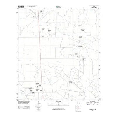 2010 San Diego NE2010 Print · USGSCoastal plains ranching and unincorporated colonias define this South Texas landscape in the 2010s. Genealogists and historians can trace family-named sites like Dilworth Cemetery and established settlements such as Owl Ranch and Amargosa Colonia.
 - 2010 Map of Anna Rose, 2010 Print
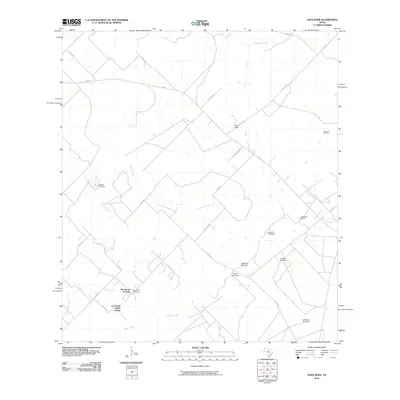 2010 Anna Rose2010 Print · USGSCoastal plains ranch land in South Texas is mapped here during a period of active oil extraction and water management. Genealogists and local historians can trace family-named sites like Freeborn Ranch or the many windmills, including Laguna Windmill and Calabaza Windmill.
 - 2010 Map of San Diego, 2010 Print
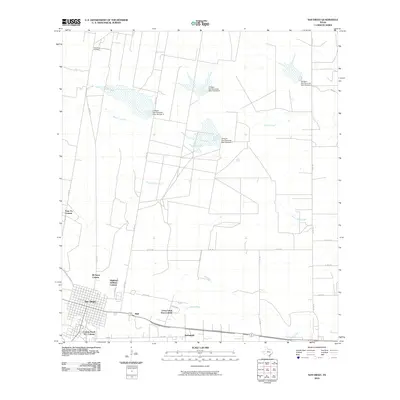 2010 San Diego2010 Print · USGSSouth Texas at the turn of the decade shows a unique landscape of traditional town planning and rural colonias. Researchers can trace the development of residential clusters like Highland Addition Colonia and Springfield alongside the active San Diego Oil Field.
 - 2010 Map of Alice South, 2010 Print
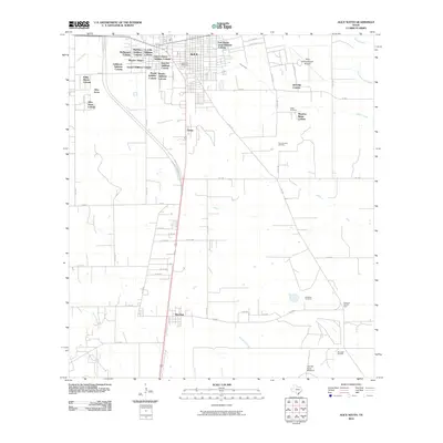 2010 Alice South2010 Print · USGSJim Wells County in the early twenty-first century reveals a landscape defined by the growth of Alice and its surrounding colonias. Genealogists and researchers can locate several rural burial sites like Lattas Cemetery or trace the energy history of the Magnolia City Oil Field.
 - 2010 Map of Alice North, 2010 Print
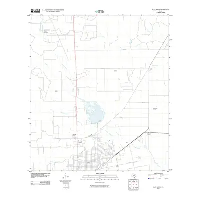 2010 Alice North2010 Print · USGSThe growing northern limits of Alice are captured in the early 2000s, where residential expansion meets the busy South Texas oil fields. Genealogists and local historians can locate early colonia developments like Kiesling's Colonia and trace family sites near Rose Lawn Cemetery or Lake Alice.
 - 2010 Map of Shaeffer Ranch, 2010 Print
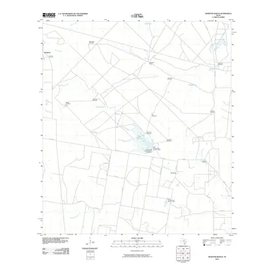 2010 Shaeffer Ranch2010 Print · USGSCoastal Bend ranching and oil production meet in this Jim Wells County landscape during the early 2000s. Genealogists and historians can trace family locations near El Carro, locate the San Jose Cemetery, and find numerous local landmarks like Mendiates Windmill.
 - 2010 Map of Sandia, 2010 Print
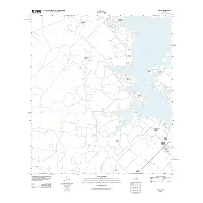 2010 Sandia2010 Print · USGSLake Corpus Christi and the surrounding South Texas ranch lands are captured here in a period of growing shoreline development. Genealogists and local historians can trace family-named sites like Wade Cemetery and the historic Old Casa Blanca Fort.
 - 2010 Map of Ben Bolt SE, 2010 Print
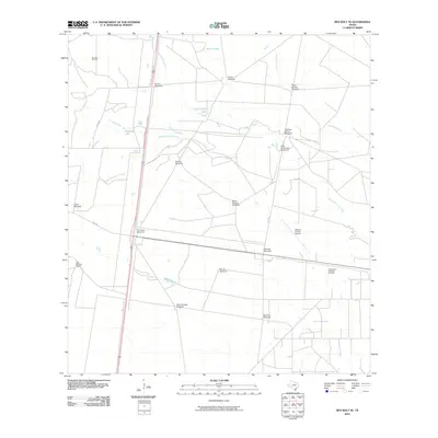 2010 Ben Bolt SE2010 Print · USGSSouth Texas ranching and oil production intersect in this Jim Wells County landscape during the early twenty-first century. Researchers can locate named landmarks like Los Machos Ranch, the Kleberg County Airport, and numerous rural sites such as Patricio Windmill.
 - 2010 Map of Agua Dulce, 2010 Print
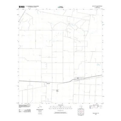 2010 Agua Dulce2010 Print · USGSAgua Dulce and the surrounding Nueces County ranchlands are captured here in the early twenty-first century. Genealogists can trace family footprints near Bentonville, the Harvest Acres Colonia, and along Groneveld Dairy Rd.
 - 2010 Map of Palito Blanco, 2010 Print
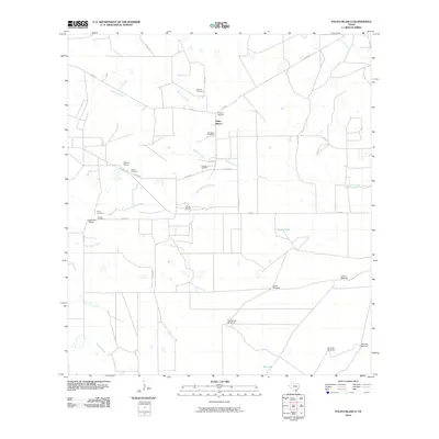 2010 Palito Blanco2010 Print · USGSSouthern Texas ranching country in the early twenty-first century is defined here by its network of family cemeteries and water infrastructure. Genealogists and local historians can trace legacy sites like Hinojosa Cemetery and Saltiero Ranch or locate remote landmarks like Rosita Windmill.
 - 2010 Map of Mathis, 2010 Print
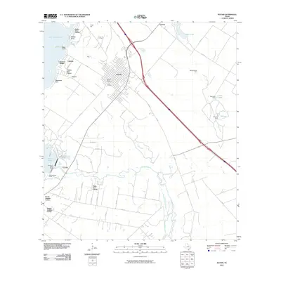 2010 Mathis2010 Print · USGSMathis and the shores of Lake Corpus Christi are captured here during a period of steady residential growth. Researchers can trace the development of numerous colonias such as Hidden Acres and Sandia Gardens, or locate family sites in Descanso Eterno Cemetery.
 - 2010 Map of Ben Bolt NW, 2010 Print
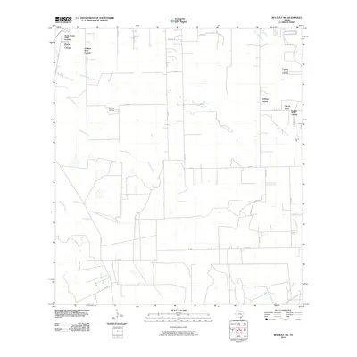 2010 Ben Bolt NW2010 Print · USGSResidential colonias and energy fields define this South Texas landscape in the early twenty-first century. Researchers can trace rural growth and land use through named settlements like Goldapp Colonia and the boundaries of the Koopman Gas Field.
 - 2010 Map of Premont West, 2010 Print
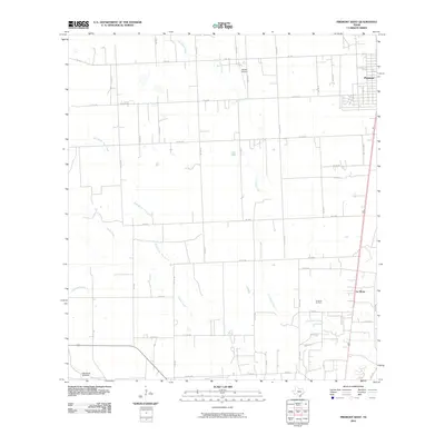 2010 Premont West2010 Print · USGSThe South Texas scrub and ranchlands near the Jim Wells County line appear here during the first decade of the new millennium. Researchers can trace the rural landscape surrounding Premont and La Gloria, identifying landmarks like Weeks Airport and the La Gloria Oil Field.
 - 2010 Map of Seeligson Ranch, 2010 Print
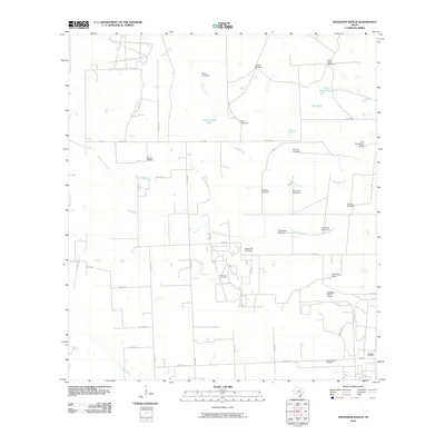 2010 Seeligson Ranch2010 Print · USGSJim Wells County ranchlands are documented here in the early twenty-first century, showing the intersection of traditional cattle operations and the modern energy industry. Researchers can locate family landmarks such as Las Piedritas Cemetery, Seeligson Ranch, and the Premont Oil Field.
 - 2010 Map of Premont East, 2010 Print
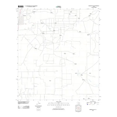 2010 Premont East2010 Print · USGSSouth Texas ranching and energy production intersect near Premont during the early twenty-first century. Researchers can trace dozens of named landmarks like Cantarawas Windmill, the Falfurrias Oil Field, and natural features including Big Lake.
 - 2010 Map of Ella, 2010 Print
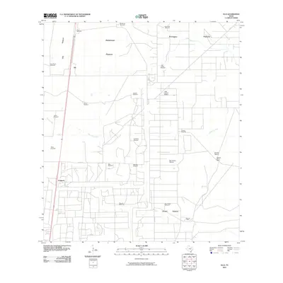 2010 Ella2010 Print · USGSSouth Texas ranching country comes into focus in this 2010 survey of Jim Wells County, where the open range is defined by family-named pastures and vital water sources. Trace the locations of historic ranch infrastructure like the King Ranch Windmill, the settlement of Ella, and Ebanito Camp.
 - 2010 Map of Orange Grove, 2010 Print
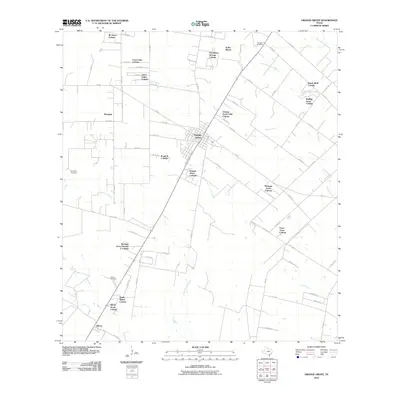 2010 Orange Grove2010 Print · USGSOrange Grove and the surrounding Jim Wells County countryside are shown here at a time of significant residential expansion. Researchers can locate family burial sites at McNeill Cemetery and Adams Cemetery, or trace the development of numerous colonias like Johns Valley Colonia and Westdale.
 - 2010 Map of Kingsville NW, 2010 Print
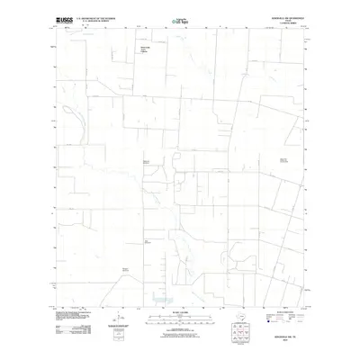 2010 Kingsville NW2010 Print · USGSThe rural Jim Wells County landscape comes into focus during the early twenty-first century, showing a mix of residential colonias and energy production. Researchers can locate Bentonville Acres Colonia and trace the Agua Dulce Stratton Oil and Gas Field.
 - 2010 Map of Midway, 2010 Print
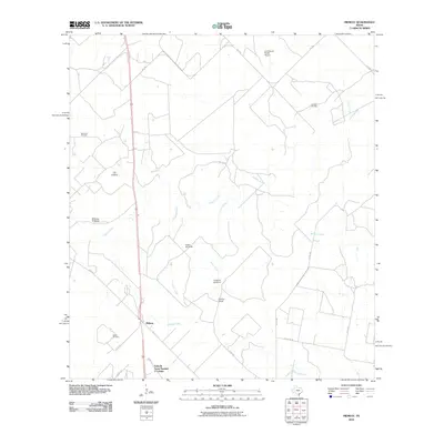 2010 Midway2010 Print · USGSJim Wells County ranchlands and oil patches are captured here at the start of the 2010s. Researchers can trace rural infrastructure from the Ramirena Oil Field to family-named landmarks like the Longoria Windmill and the Penitas Ranch settlement.
 - 2010 Map of San Patricio, 2010 Print
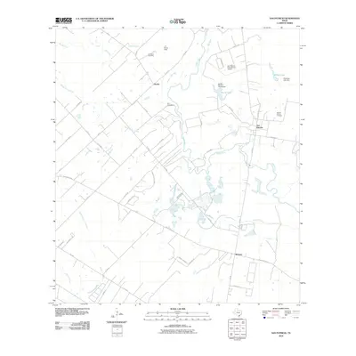 2010 San Patricio2010 Print · USGSCoastal bend ranching and early Texas history meet along the Nueces River in this detailed 2010 survey. Researchers can locate the Old San Patricio Cemetery, trace family roots at the James McGloin Homestead, and find the site of Fort Lipantitlan near Bluntzer.
 - 2012 Map of Anna Rose, 2012 Print
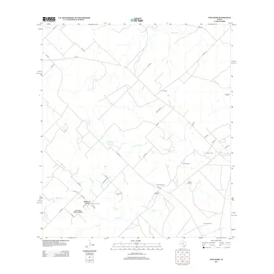 2012 Anna Rose2012 Print · USGSJim Wells County at the start of the 2010s shows a landscape of traditional ranching and modern oil extraction. Researchers can locate the residential cluster of La Parrita Valley Colonia and trace water infrastructure like the Lagarto Windmill and Calabaza Windmill.
 - 2013 Map of Midway, 2013 Print
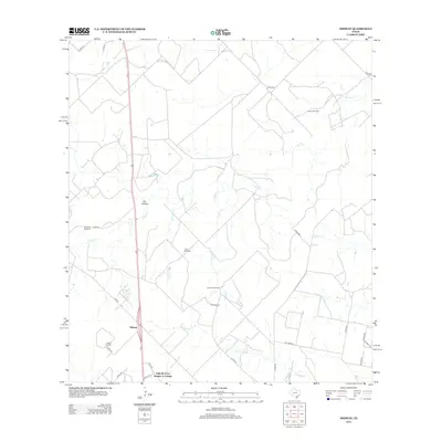 2013 Midway2013 Print · USGSSouth Texas ranching and petroleum interests converge in the early twenty-first century along the drainage of Lagarto Cr. Researchers can locate family-named landmarks like Penitas Ranch and industrial sites including the Hinnant Oil Field and Williams Windmill.
 - 2013 Map of Orange Grove, 2013 Print
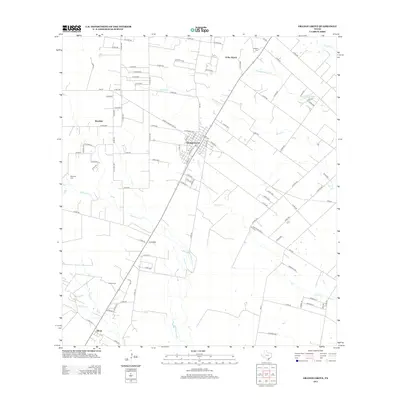 2013 Orange Grove2013 Print · USGSOrange Grove and the surrounding South Texas prairie are captured here in the early twenty-first century, showing a landscape defined by ranching and rail. Researchers can trace family sites like McNeill Cem or follow the Southern Pacific line past Alfred.
 - 2013 Map of Kingsville NW, 2013 Print
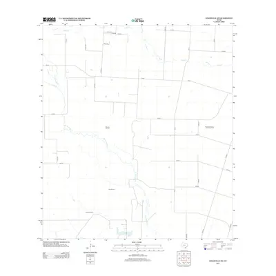 2013 Kingsville NW2013 Print · USGSThe coastal plains of South Texas appear here as an active landscape of ranching and energy extraction in the early twenty-first century. Genealogists and local historians can locate specific family-named landmarks such as Magnolia Windmill and the expansive Agua Dulce Stratton Oil and Gas Field.
 - 2013 Map of Agua Dulce, 2013 Print
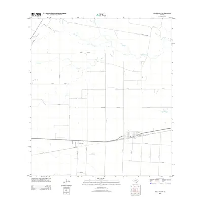 2013 Agua Dulce2013 Print · USGSAgua Dulce and Bentonville are shown in detail during the early twenty-first century, surrounded by a distinct grid of Nueces County ranch roads. Local historians can trace the paths of Palo Hueco Cr and Rosita Cr past landmarks like O Brine.
Showing maps 1-25 of 100
Top cities of Jim Wells County
Frequently asked questions
- What are the different types of historical maps available for Jim Wells County?
- What is the oldest map of Jim Wells County?
- Where can I purchase historical maps of Jim Wells County for my home or office?
- Where can I download high-res historical maps of Jim Wells County?
- Are there historical topographic maps available for Jim Wells County?
- Is there historical aerial imagery available for Jim Wells County?
- Where are historical maps of Jim Wells County sourced from?