2000s (21st Century) Maps of Lynn County, Texas
Explore 125 historic maps of Lynn County from the 2000s (21st Century). These maps offer a rare glimpse into what life looked like during the 2000s — showing old roads, neighborhoods, homes, and landmarks that have changed or disappeared over time.
Whether you're researching your family's past, planning a metal detecting trip, or studying how Lynn County's landscape evolved across the 2000s, these high-resolution maps are a powerful tool for exploring the history of this region.
- Focus on a specific era: All maps on this page are from the 2000s, giving you a focused view of this time period.
- See what’s changed: Compare century-old streets, trails, and buildings to today's modern landscape using overlays and satellite layers.
- Research with precision: Use these maps for genealogy, historical research, land use analysis, or educational projects.
- View, download, or print: Maps are fully viewable online in high resolution, and can be downloaded or printed for your own records.
Start exploring Lynn County's history through authentic maps from the 2000s. This is your window into the past.
Lynn County, TX maps
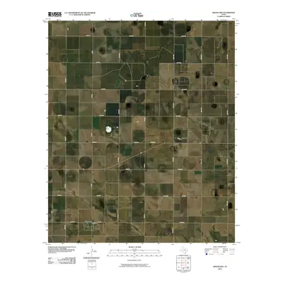
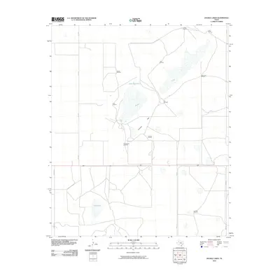
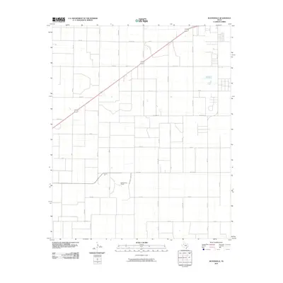
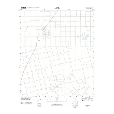
(125)- 2010 Map of New Lynn, 2010 Print
 2010 New Lynn2010 Print · USGSCovers Lynn County, including New Lynn, United States, and other nearby areas
 - 2010 Map of Slaton NE, 2010 Print
 2010 Slaton NE2010 Print · USGSCovers Lynn County, including Slaton, Lubbock County, and other nearby areas
 - 2010 Map of Wilson, 2010 Print
 2010 Wilson2010 Print · USGSCovers Lynn County, including Wilson, United States, and other nearby areas
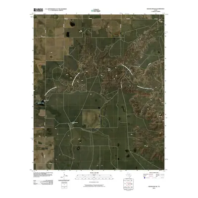
 - 2010 Map of Indian Canyon NW, 2010 Print
 2010 Indian Canyon NW2010 Print · USGSCovers Lynn County, including Plains, Borden County, and other nearby areas
 - 2010 Map of Slide, 2010 Print
 2010 Slide2010 Print · USGSCovers Lynn County, including Lubbock, Slide, and other nearby areas
 - 2010 Map of Meadow SE, 2010 Print
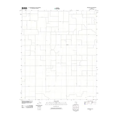 2010 Meadow SE2010 Print · USGSCovers Lynn County, including Lakeview, Terry County, and other nearby areas
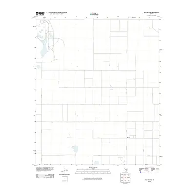
 - 2010 Map of Gooch Lake, 2010 Print
 2010 Gooch Lake2010 Print · USGSCovers Lynn County, including Hindman, Grandview, and other nearby areas
 - 2010 Map of Mound Lake, 2010 Print
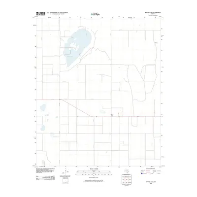 2010 Mound Lake2010 Print · USGSCovers Lynn County, including West Point, Terry County, and other nearby areas
 - 2010 Map of Grassland, 2010 Print
 2010 Grassland2010 Print · USGSCovers Lynn County, including Grassland, Garza County, and other nearby areas
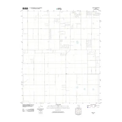
 - 2010 Map of Slaton, 2010 Print
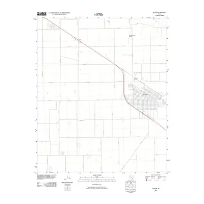 2010 Slaton2010 Print · USGSCovers Lynn County, including Slaton, Posey, and other nearby areas
 - 2010 Map of Welch East, 2010 Print
 2010 Welch East2010 Print · USGSCovers Lynn County, including Pride, Dawson County, and other nearby areas
 - 2010 Map of Grassland SE, 2010 Print
 2010 Grassland SE2010 Print · USGSCovers Lynn County, including Garza County, United States, and other nearby areas
 - 2010 Map of Double Lakes, 2010 Print
 2010 Double Lakes2010 Print · USGSCovers Lynn County, including United States, Texas, and other nearby areas
 - 2010 Map of Draw, 2010 Print
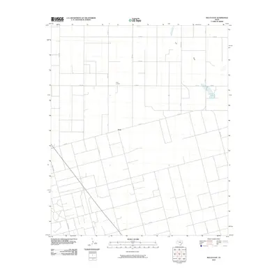
 2010 Draw2010 Print · USGSCovers Lynn County, including Draw, Redwine, and other nearby areas
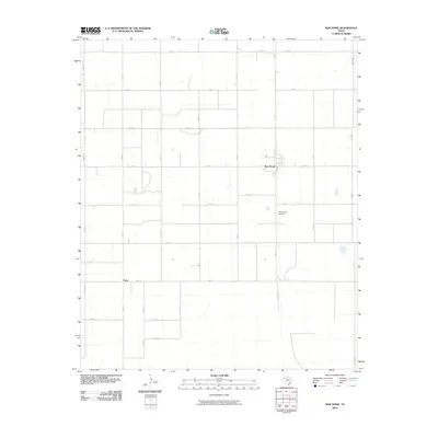
 - 2010 Map of Tahoka SW, 2010 Print
 2010 Tahoka SW2010 Print · USGSCovers Lynn County, including Wells, United States, and other nearby areas
 - 2010 Map of New Moore, 2010 Print
 2010 New Moore2010 Print · USGSCovers Lynn County, including New Moore, Terry County, and other nearby areas
 - 2010 Map of Busterville, 2010 Print
 2010 Busterville2010 Print · USGSCovers Lynn County, including Wolfforth, Busterville, and other nearby areas
 - 2010 Map of New Home, 2010 Print
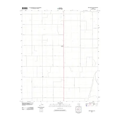
 2010 New Home2010 Print · USGSCovers Lynn County, including New Home, Petty, and other nearby areas
 - 2010 Map of Indian Canyon NE, 2010 Print
 2010 Indian Canyon NE2010 Print · USGSCovers Lynn County, including Garza County, Borden County, and other nearby areas
 - 2010 Map of Tahoka, 2010 Print
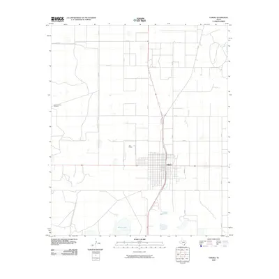 2010 Tahoka2010 Print · USGSCovers Lynn County, including Tahoka, United States, and other nearby areas
 - 2010 Map of O'Donnell, 2010 Print
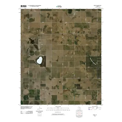
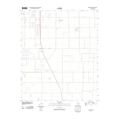
 2010 O'Donnell2010 Print · USGSCovers Lynn County, including O'Donnell, Dawson County, and other nearby areas
 - 2010 Map of Woodrow, 2010 Print
 2010 Woodrow2010 Print · USGSCovers Lynn County, including Lubbock, Woodrow, and other nearby areas
 - 2010 Map of New Home SE, 2010 Print
 2010 New Home SE2010 Print · USGSCovers Lynn County, including Wayside, United States, and other nearby areas
 - 2010 Map of Southland, 2010 Print
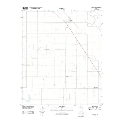 2010 Southland2010 Print · USGSCovers Lynn County, including Pleasant Valley, Southland, and other nearby areas
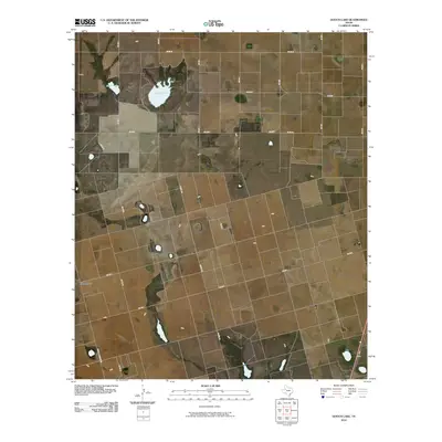
 - 2010 Map of Skeen Lake, 2010 Print
 2010 Skeen Lake2010 Print · USGSCovers Lynn County, including Skeen, United States, and other nearby areas
Showing maps 1-25 of 125
Top cities of Lynn County
Frequently asked questions
- What are the different types of historical maps available for Lynn County?
- What is the oldest map of Lynn County?
- Where can I purchase historical maps of Lynn County for my home or office?
- Where can I download high-res historical maps of Lynn County?
- Are there historical topographic maps available for Lynn County?
- Is there historical aerial imagery available for Lynn County?
- Where are historical maps of Lynn County sourced from?