2010s Maps of Lynn County, Texas
Explore 100 historic maps of Lynn County from the 2010s. These maps offer a rare glimpse into what life looked like during the 2010s — showing old roads, neighborhoods, homes, and landmarks that have changed or disappeared over time.
Whether you're researching your family's past, planning a metal detecting trip, or studying how Lynn County's landscape evolved across the 2010s, these high-resolution maps are a powerful tool for exploring the history of this region.
- Focus on a specific era: All maps on this page are from the 2010s, giving you a focused view of this time period.
- See what’s changed: Compare century-old streets, trails, and buildings to today's modern landscape using overlays and satellite layers.
- Research with precision: Use these maps for genealogy, historical research, land use analysis, or educational projects.
- View, download, or print: Maps are fully viewable online in high resolution, and can be downloaded or printed for your own records.
Start exploring Lynn County's history through authentic maps from the 2010s. This is your window into the past.
Lynn County, TX maps
(100)- 2010 Map of New Lynn, 2010 Print
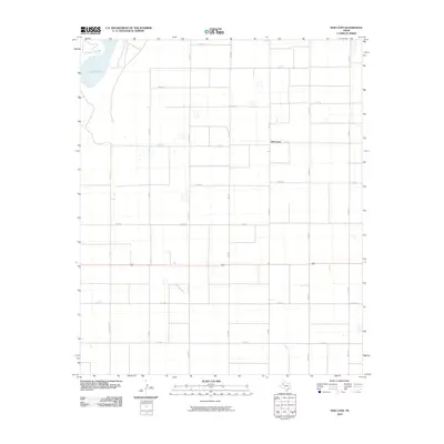 2010 New Lynn2010 Print · USGSLynn County agriculture and plains infrastructure are on full display during the early twenty-first century. Researchers can trace the section-line road network around New Lynn and the natural boundaries of Tahoka Lake along Ranch Rd 2056.
 - 2010 Map of Slaton NE, 2010 Print
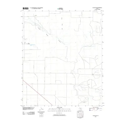 2010 Slaton NE2010 Print · USGSNortheast of Slaton in the early twenty-first century, the Lubbock County landscape is defined by the deep incision of Yellow House Canyon. Researchers can trace the rural property boundaries of Forest Ranch and V Ranch along the North Fork Double Mountain Fork Brazos River.
 - 2010 Map of Wilson, 2010 Print
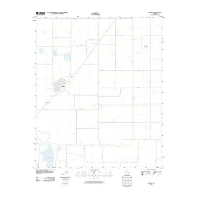 2010 Wilson2010 Print · USGSThe community of Wilson and its surrounding agricultural grid appear in high detail during the early twenty-first century. Researchers can trace local land patterns and road networks near Tahoka Lake, GreenMemorial Park, and the unique KittenFarm Airport.
 - 2010 Map of Indian Canyon NW, 2010 Print
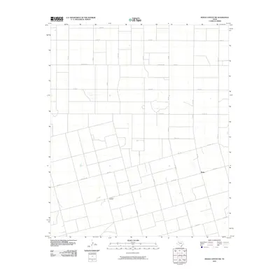 2010 Indian Canyon NW2010 Print · USGSBorden County ranching lands and rural homesteads are captured here during the first decade of the millennium. Genealogists can locate Plain View Cemetery and trace property boundaries along FM 1210 and the outskirts of Plains.
 - 2010 Map of Slide, 2010 Print
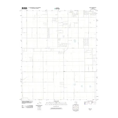 2010 Slide2010 Print · USGSSouth of Lubbock in the early twenty-first century, this area shows the steady expansion of residential grids into the surrounding farmland. Researchers can trace the development of local corridors like Slide Rd, Quaker Ave, and the central settlement of Slide.
 - 2010 Map of Meadow SE, 2010 Print
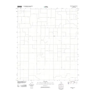 2010 Meadow SE2010 Print · USGSTexas Panhandle agriculture and rural life are documented here during the early twenty-first century. Researchers can trace the precise grid of farm-to-market roads and local landmarks such as Lakeview, Wolfforth Rd, and the intersection of Fm 179.
 - 2010 Map of Gooch Lake, 2010 Print
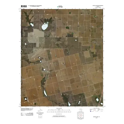 2010 Gooch Lake2010 Print · USGSDawson County ranching and farming tracts are captured here in the early twenty-first century, revealing a landscape defined by its grid of rural roads. Genealogists and local historians can trace property boundaries and land use near Grandview, Gooch Lake, and Saleh Lake.
 - 2010 Map of Mound Lake, 2010 Print
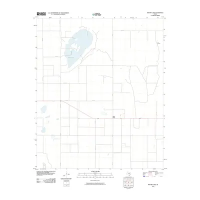 2010 Mound Lake2010 Print · USGSThe West Texas High Plains are captured here in the early twenty-first century, showing a rural landscape defined by ranching and systematic land division. Researchers can trace the exact footprint of West Point or locate North Windmills and the shore of Mound Lake.
 - 2010 Map of Grassland, 2010 Print
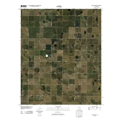 2010 Grassland2010 Print · USGSLynn County agricultural life is captured here in the decade following the millennium, showing a landscape defined by its rigid grid of section roads. Researchers can trace the rural layout of Grassland and the network of routes like Fm 212 and Co Rd HH.
 - 2010 Map of Slaton, 2010 Print
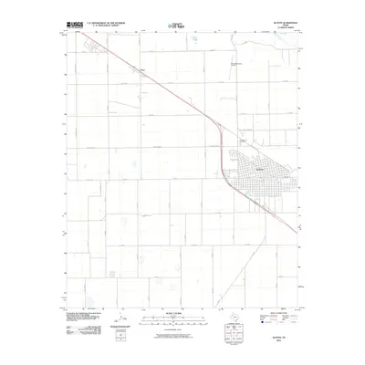 2010 Slaton2010 Print · USGSSlaton and the surrounding high plains are captured here in the early twenty-first century, showing the intersection of railroad history and rural agriculture. Genealogists and local historians can trace the town grid out to Englewood Cemetery or the small settlement at Posey.
 - 2010 Map of Welch East, 2010 Print
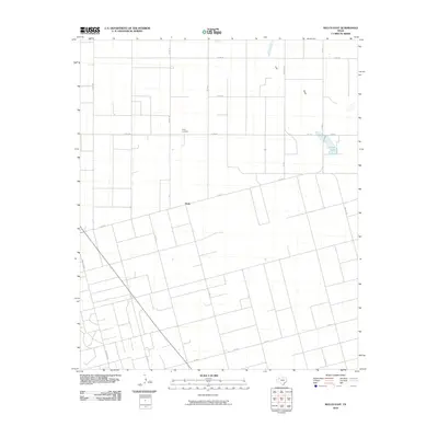 2010 Welch East2010 Print · USGSDawson County agriculture and rural life are preserved in this 2010 survey of the Texas High Plains. Genealogists and local researchers can trace the settlement at Pride and locate the Pride Cemetery near the seasonal waters of Frost Lake.
 - 2010 Map of Grassland SE, 2010 Print
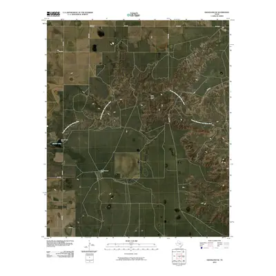 2010 Grassland SE2010 Print · USGSGarza County, Texas, is shown in the early twenty-first century as a landscape defined by ranching and the Double Mountain Fork Brazos River. Researchers can locate family landmarks like Post Montgomery Ranch and Grassland Cemetery among the rural county road grid.
 - 2010 Map of Double Lakes, 2010 Print
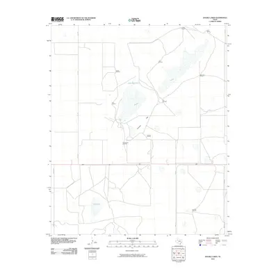 2010 Double Lakes2010 Print · USGSLynn County ranching culture is preserved in this recent South Plains survey, showing the enduring infrastructure of the cattle industry. Genealogists and land historians can trace family holdings and water rights via T Bar Ranch and named landmarks like Crows Nest Windmill or Stud Duck Tank.
 - 2010 Map of Draw, 2010 Print
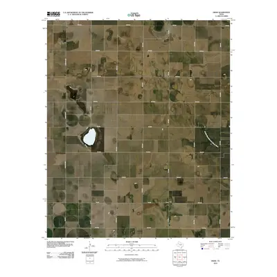 2010 Draw2010 Print · USGSLynn County at the turn of the millennium shows a landscape defined by ranching and rural agriculture. Genealogists and local historians can trace the footprint of the Draw community and follow the path of the Double Mountain Fork Brazos River across the plains.
 - 2010 Map of Tahoka SW, 2010 Print
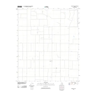 2010 Tahoka SW2010 Print · USGSThe rural settlement of Wells sits at the heart of this agricultural survey of the Llano Estacado in the early twenty-first century. Researchers can trace the local transport grid and infrastructure serving L P Askew Farms Airport and FM 213.
 - 2010 Map of New Moore, 2010 Print
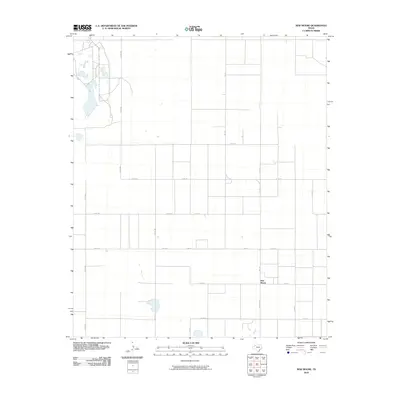 2010 New Moore2010 Print · USGSThe settlement of New Moore is shown amidst a modern agricultural grid in West Texas during the early twenty-first century. Researchers can trace rural property access and local travel routes through the network of Farm Rd 179, FM 213, and Co Rd 595.
 - 2010 Map of Busterville, 2010 Print
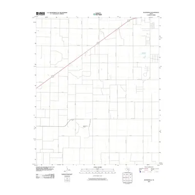 2010 Busterville2010 Print · USGSLubbock County agricultural lands are captured here in the early twenty-first century as the traditional cotton economy interacts with rural residential growth. Researchers can locate family landmarks like Busters Gin and McNabb Farm Airport among the area's distinctive grid of farm-to-market roads.
 - 2010 Map of New Home, 2010 Print
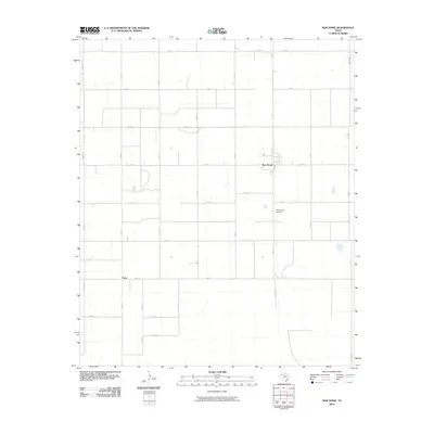 2010 New Home2010 Print · USGSLynn County agricultural life is documented here during the early twenty-first century, showing the precise grid of the Texas South Plains. Researchers can trace the layout of New Home, the settlement at Petty, and the rural New Home Airport.
 - 2010 Map of Indian Canyon NE, 2010 Print
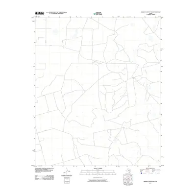 2010 Indian Canyon NE2010 Print · USGSGarza County at the turn of the decade remains a landscape of sprawling cattle operations and quiet creek beds. Genealogists and land researchers can pinpoint the location of Dennis Ranch and trace the paths of CO RD 138 and Bull Creek.
 - 2010 Map of Tahoka, 2010 Print
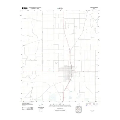 2010 Tahoka2010 Print · USGSThe High Plains of Lynn County are seen here during the early twenty-first century, centered on the agricultural town of Tahoka. Researchers can trace the development of the rural grid and find specific landmarks like Guthrie Lake and the HighLonesome Windmill.
 - 2010 Map of O'Donnell, 2010 Print
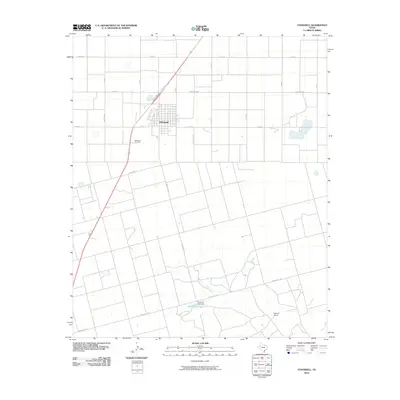 2010 O'Donnell2010 Print · USGSTexas high plains ranching and the town of O'Donnell are documented here in the early twenty-first century. Genealogists and local historians can locate ODonnell Cemetery and trace rural landmarks like Caprock Ranch and Gravel Pit Lake.
 - 2010 Map of Woodrow, 2010 Print
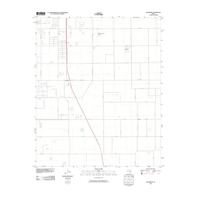 2010 Woodrow2010 Print · USGSLubbock County's rural fringe comes into focus at the end of the 2000s, where agricultural grids meet growing local settlements. Genealogists and historians can trace the development of Woodrow and Union alongside aviation landmarks like Town and Country Airpark.
 - 2010 Map of New Home SE, 2010 Print
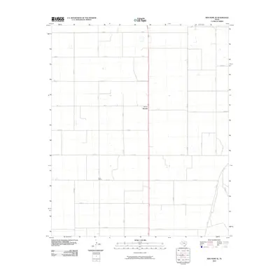 2010 New Home SE2010 Print · USGSLynn County at the turn of the decade is captured here as a grid of agricultural life and rural transit. Genealogists and local historians can locate the Dixie School and the settlement of Wayside amid a network of named routes like Nora Rd.
 - 2010 Map of Southland, 2010 Print
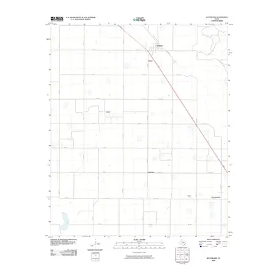 2010 Southland2010 Print · USGSThe High Plains of Garza County are captured here during a period of established agricultural and energy production. Genealogists and local historians can trace the grid of rural life through Resthaven Cemetery, the settlement at Southland, and the Suniland Oil Field.
 - 2010 Map of Skeen Lake, 2010 Print
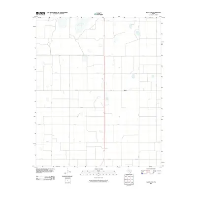 2010 Skeen Lake2010 Print · USGSThe Texas South Plains in Lynn County appear here at the turn of the decade, centered on a landscape of playa lakes and agricultural grids. Researchers can trace the rural settlement of Skeen and the surrounding road network between Guthrie Lake and Skeen Lake.
Showing maps 1-25 of 100
Top cities of Lynn County
Frequently asked questions
- What are the different types of historical maps available for Lynn County?
- What is the oldest map of Lynn County?
- Where can I purchase historical maps of Lynn County for my home or office?
- Where can I download high-res historical maps of Lynn County?
- Are there historical topographic maps available for Lynn County?
- Is there historical aerial imagery available for Lynn County?
- Where are historical maps of Lynn County sourced from?