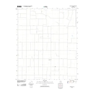
2010 Map of Tahoka SW
USGS Topo · Published 2010About this map
Wells anchors the southern portion of this West Texas landscape, situated at the intersection of several farm-to-market roads and county routes. The area is defined by a rigid grid system of agricultural access ways, including FM 213 and FM 3112, which serve the expansive farming operations of Lynn County. The presence of the L P Askew Farms Airport illustrates the reliance on aerial applications and transport in this cotton-growing region of the Llano Estacado. This 2010 survey reflects a rural environment where land use is almost entirely dedicated to industrial-scale agriculture, with the settlement at Wells serving as a local hub for the surrounding farmsteads and transport network. Navigation is dictated by the precise geometry of named roads like Edward Rd and Co RD 28, marking the section lines of the high plains.
Find a feature on this map
17 named features on this map. Tap any name to fly to it.
Don’t see what you’re looking for? This feature index may not catch every label — zoom into the map to look around manually.
Map Details
Editions of this 2010 Tahoka SW Map
This is the sole edition of this map. No revisions or reprints were ever made.
Other maps of this area

1954 · Lubbock
USGS Topo · 1:250,000

1954 · Hobbs
USGS Topo · 1:250,000

1954 · Big Spring
USGS Topo · 1:250,000

1954 · Brownfield
USGS Topo · 1:250,000

1958 · Brownfield
USGS Topo · 1:250,000

1958 · Big Spring
USGS Topo · 1:250,000

1958 · Hobbs
USGS Topo · 1:250,000

1962 · Brownfield
USGS Topo · 1:250,000

1969 · Welch East
USGS Topo · 1:24,000

1969 · Mound Lake
USGS Topo · 1:24,000