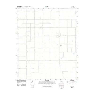
2010 Map of New Home
USGS Topo · Published 2010About this map
New Home is the primary community on this high plains landscape of Lynn County, defined by its rectilinear grid of farm-to-market roads and county lines. This 2010 survey illustrates the organized agricultural geometry of the Texas South Plains, where wide stretches of farmland are partitioned by routes such as Fm 211 and Fm 1730. The small settlement of Petty sits at the junction of Fm 1317 and Fm 1328, serving as a secondary local landmark in an area dominated by rural estate lines and expansive fields. A notable specialized feature is the New Home Airport, located south of the main township, emphasizing the reliance on private aviation for managing large-scale agricultural operations in this part of West Texas. Numerous county roads, from Edward Rd to Co Rd M, provide a detailed network for genealogists or property researchers tracing specific family land tracts.
Find a feature on this map
26 named features on this map. Tap any name to fly to it.
Don’t see what you’re looking for? This feature index may not catch every label — zoom into the map to look around manually.
Map Details
Editions of this 2010 New Home Map
This is the sole edition of this map. No revisions or reprints were ever made.
Other maps of this area

1954 · Lubbock
USGS Topo · 1:250,000

1954 · Brownfield
USGS Topo · 1:250,000

1957 · New Home
USGS Topo · 1:62,500

1957 · Meadow
USGS Topo · 1:62,500

1958 · Brownfield
USGS Topo · 1:250,000

1962 · Brownfield
USGS Topo · 1:250,000

1969 · Mound Lake
USGS Topo · 1:24,000

1969 · Tahoka
USGS Topo · 1:24,000

1969 · Double Lakes
USGS Topo · 1:24,000

1976 · New Home NW
USGS Topo · 1:24,000