2000s (21st Century) Maps of Madison County, Texas
Explore 75 historic maps of Madison County from the 2000s (21st Century). These maps offer a rare glimpse into what life looked like during the 2000s — showing old roads, neighborhoods, homes, and landmarks that have changed or disappeared over time.
Whether you're researching your family's past, planning a metal detecting trip, or studying how Madison County's landscape evolved across the 2000s, these high-resolution maps are a powerful tool for exploring the history of this region.
- Focus on a specific era: All maps on this page are from the 2000s, giving you a focused view of this time period.
- See what’s changed: Compare century-old streets, trails, and buildings to today's modern landscape using overlays and satellite layers.
- Research with precision: Use these maps for genealogy, historical research, land use analysis, or educational projects.
- View, download, or print: Maps are fully viewable online in high resolution, and can be downloaded or printed for your own records.
Start exploring Madison County's history through authentic maps from the 2000s. This is your window into the past.
Madison County, TX maps
(75)- 2010 Map of Wyser Bottom, 2010 Print
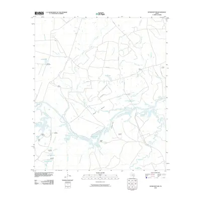 2010 Wyser Bottom2010 Print · USGSWalker County at the turn of the millennium shows a river-carved landscape of bottomlands and bluffs along the Trinity River. Local historians can trace family ties through Mason Cemetery, Cincinnati Cemetery, and the remote Lost Indian Camp.
 - 2010 Map of Leona SW, 2010 Print
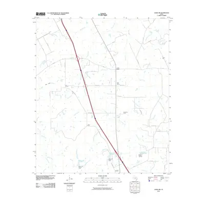 2010 Leona SW2010 Print · USGSMadison County's rural landscape is captured here in the early twenty-first century as old cattle-ranching lands meet modern energy infrastructure. Researchers can locate ancestral sites like Mount Tabor Cemetery and trace the drainage patterns of Larrison Creek and the OSR Oil Field.
 - 2010 Map of Baker Lake, 2010 Print
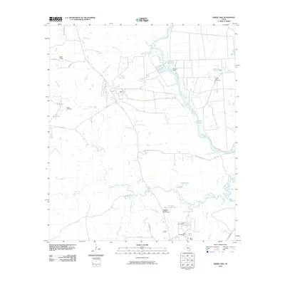 2010 Baker Lake2010 Print · USGSWalker County at the start of the decade shows a landscape of river-bottom agriculture and small rural settlements. Researchers can trace local roots around Falba, explore the grounds of the Eastham State Prison Farm, or locate the Falba Cemetery near the banks of Bedias Creek.
 - 2010 Map of Connor, 2010 Print
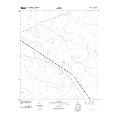 2010 Connor2010 Print · USGSMadison County, Texas, reveals a landscape of rural crossroads and established family land in the early 2000s. Researchers can locate several burial sites including Rocky Hill Cemetery and Larrison Cemetery alongside waterways like Collard Creek.
 - 2010 Map of Sand Ridge, 2010 Print
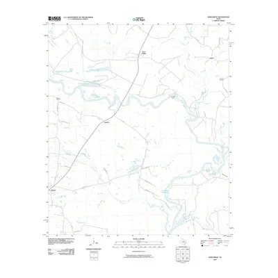 2010 Sand Ridge2010 Print · USGSMadison County at the turn of the decade reveals a landscape where the river and old country roads still dictate the rhythm of life. Genealogists can locate family sites near Bozeman Cemetery or trace the early paths of Bozeman Ferry Rd and Antioch.
 - 2010 Map of Hilltop Lakes, 2010 Print
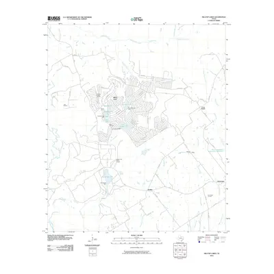 2010 Hilltop Lakes2010 Print · USGSLeon County, Texas, was transitioning between its rural agricultural roots and modern lakeside development in the early twenty-first century. Genealogists and local historians can trace family land near Greer Cemetery or follow the early layout of Hilltop Lakes and Normangee.
 - 2010 Map of Bedias, 2010 Print
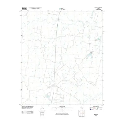 2010 Bedias2010 Print · USGSBedias and its surrounding ranchlands are captured here in the early twenty-first century, showing the enduring rural layout of Grimes County. Researchers can locate family lands near Cotton, trace the winding course of Bedias Creek, or identify local water features like Lake Bedias and Lake Wayne.
 - 2010 Map of Elwood, 2010 Print
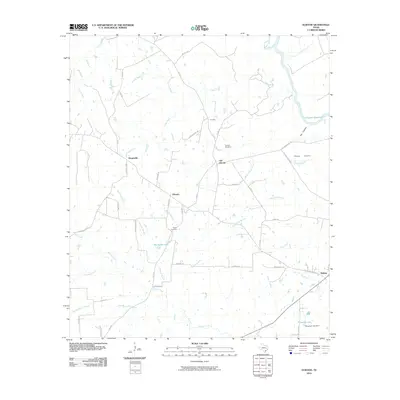 2010 Elwood2010 Print · USGSMadison County's rural heartland near the historic San Antonio Road is captured here at the start of the new millennium. Genealogists and local historians can trace family-named sites like Tan Yard Cemetery, Old Elwood, and the unique settlement of Dingerville.
 - 2010 Map of Madisonville, 2010 Print
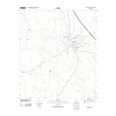 2010 Madisonville2010 Print · USGSMadisonville and its surrounding Madison County countryside are captured here in the early 21st century as a hub of water management and regional transit. Researchers can trace the layout of local landmarks like High Prairie Cemetery, Crescent Lake, and the community of Laceola.
 - 2010 Map of Normangee, 2010 Print
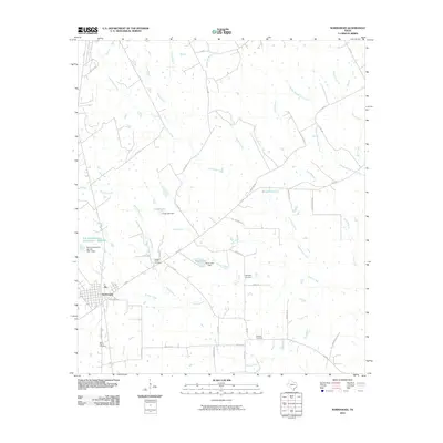 2010 Normangee2010 Print · USGSNormangee and its surrounding rural countryside are captured here in the early twenty-first century as the area maintained its quiet agricultural character. Local historians can trace family sites via Rodgers Prairie Cemetery and Sand Prairie Cemetery, or locate landmarks like Cook Lake and the OSR Hwy.
 - 2010 Map of Steep Branch, 2010 Print
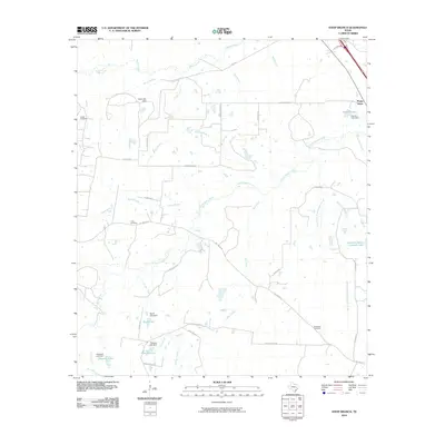 2010 Steep Branch2010 Print · USGSThe rural lands surrounding Mossy Grove are shown here as they appeared in the early twenty-first century, before further modern development. Researchers can locate several family burial grounds, including McAdams Cemetery and Long Cemetery, alongside numerous small reservoirs like Ubanoski Lake.
 - 2010 Map of Clear Lake, 2010 Print
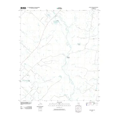 2010 Clear Lake2010 Print · USGSBrazos County ranch lands and river crossings are captured here in the early twenty-first century as rural homesteads remained largely intact. Genealogists and local historians can locate Tryson Cemetery, trace the Navasota River, and find historic transit points like Democrat Crossing.
 - 2010 Map of Canary, 2010 Print
 2010 Canary2010 Print · USGSMadison County at the turn of the decade is defined by the winding Navasota River and its network of rural cemeteries. Genealogists and researchers can trace local family landmarks like Keefer Cemetery or follow the historic OSR Hwy to Bundy Crossing.
 - 2010 Map of Iola, 2010 Print
 2010 Iola2010 Print · USGSGrimes County at the start of the decade shows a landscape of rural settlements and winding creek bottoms. Genealogists can locate family landmarks such as Zion and Bethel Cemetery or trace the drainage of Bedias Creek and Neeley Creek.
 - 2010 Map of North Zulch, 2010 Print
 2010 North Zulch2010 Print · USGSMadison County ranch lands and rural settlements are documented here during the early twenty-first century. Genealogists and local historians can trace family locations near North Zulch, the Oxford Cemetery, and small communities like Mecca and Cottonwood.
 - 2013 Map of North Zulch, 2013 Print
 2013 North Zulch2013 Print · USGSMadison County at the turn of the decade is defined by its rural settlements and cattle-country creek beds. Researchers can locate the Oxford Cem and trace the paths of Kickapoo Cr between the communities of North Zulch and Mecca.
 - 2013 Map of Canary, 2013 Print
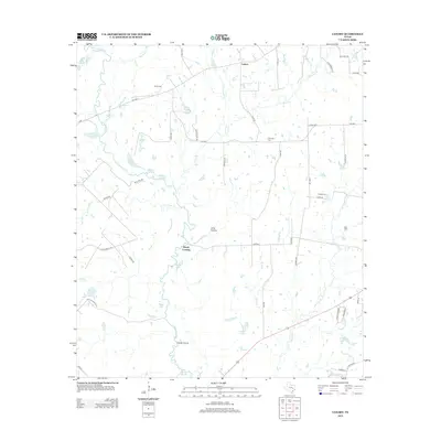 2013 Canary2013 Print · USGSMadison County's river-bottom landscapes are captured here in the early twenty-first century, showing the rural character of the Canary area. Genealogists and local historians can locate several burial sites including Nash Cem and Keefer Cem, or trace the path of the OSR HWY.
 - 2013 Map of Hilltop Lakes, 2013 Print
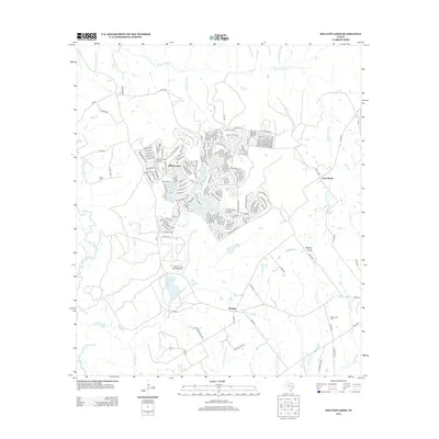 2013 Hilltop Lakes2013 Print · USGSLeon County at the start of the 2010s reveals a unique blend of leisure-based development and traditional ranching. Map collectors and family historians can trace the detailed street layout of Hilltop Lakes or find rural landmarks like Greer Cem and the settlement of Wealthy.
 - 2013 Map of Normangee, 2013 Print
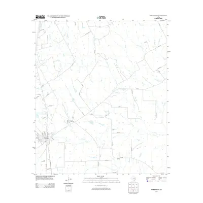 2013 Normangee2013 Print · USGSNormangee and the surrounding East Texas countryside are captured here in the early twenty-first century. Researchers can trace local lineage and land use through named burial sites like Rodgers Prairie Cem and water features like Moss Lake or Rodgers Lake.
 - 2013 Map of Clear Lake, 2013 Print
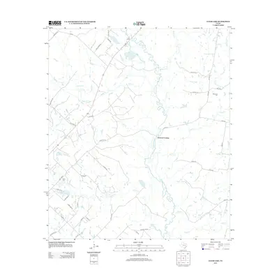 2013 Clear Lake2013 Print · USGSBrazos County in the early 21st century remains a landscape of river bends and rural road networks. Researchers can trace family history at Tryson Cem or locate old water crossings like Democrat Crossing and Three Bridges.
 - 2013 Map of Iola, 2013 Print
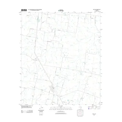 2013 Iola2013 Print · USGSGrimes County ranch land and rural settlements are documented here in the early twenty-first century. Researchers can trace family history through local landmarks like Zion Cem and Howard Cem or locate the homesteads between Iola and Cross.
 - 2013 Map of Elwood, 2013 Print
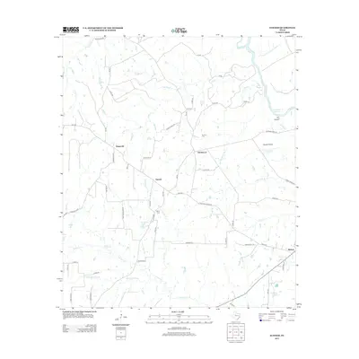 2013 Elwood2013 Print · USGSMadison County at the turn of the decade reveals a landscape of interconnected rural settlements and river-fed wetlands. Researchers can trace the layout of Old Elwood, locate Tan Yard Cemetery, and follow the Old San Antonio Road as it passes through Midway.
 - 2013 Map of Madisonville, 2013 Print
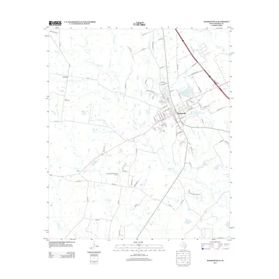 2013 Madisonville2013 Print · USGSMadison County at the start of the 2010s shows a landscape defined by the growth of Madisonville and the winding creek beds of the Brazos River basin. Researchers can trace family history at High Prairie Cem or locate the small settlement of Laceola near Ferry Br.
 - 2013 Map of Wyser Bottom, 2013 Print
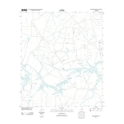 2013 Wyser Bottom2013 Print · USGSWalker County during the early twenty-first century reveals a landscape of river bluffs and bottomlands along the Trinity River. Genealogists and local historians can trace family sites at Cincinnati Cem and Mason Cem or explore the geography of Wyser Bottom and Lost Indian Camp.
 - 2013 Map of Sand Ridge, 2013 Print
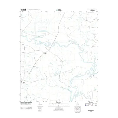 2013 Sand Ridge2013 Print · USGSThe Trinity River bottomlands of Madison County are captured here in the early twenty-first century as they merge into the Livingston Reservoir. Genealogists and local historians can trace family locations near Midway, Antioch, and Bozeman Cem.
Showing maps 1-25 of 75
Top cities of Madison County
Frequently asked questions
- What are the different types of historical maps available for Madison County?
- What is the oldest map of Madison County?
- Where can I purchase historical maps of Madison County for my home or office?
- Where can I download high-res historical maps of Madison County?
- Are there historical topographic maps available for Madison County?
- Is there historical aerial imagery available for Madison County?
- Where are historical maps of Madison County sourced from?