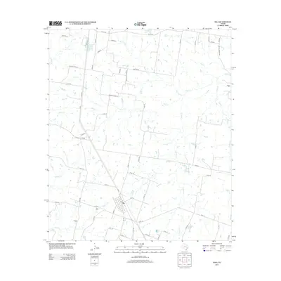
2013 Map of Iola
USGS Topo · Published 2013About this map
The town of Iola serves as the primary hub of this East Texas landscape, where several state and county roads converge amidst a network of cattle ranches and creek bottoms. To the northwest, the smaller settlement of Cross sits near the junction of Co RD 102 and Co RD 103. The topography is defined by the drainage systems of Bedias Cr and N Bedias Cr, which meander through the countryside alongside smaller tributaries like Neeley Cr and Big Turkey Cr. This 2013 survey illustrates a rural environment where land use is closely tied to water resources, evidenced by the S Zulch Reservoir and numerous smaller stock tanks. Genealogists will find several burial grounds preserved here, including Zion Cem near Iola and Bethel Cem to the northeast, providing physical links to the early families who established these communities.
Find a feature on this map
64 named features on this map. Tap any name to fly to it.
Don’t see what you’re looking for? This feature index may not catch every label — zoom into the map to look around manually.
Map Details
Editions of this 2013 Iola Map
This is the sole edition of this map. No revisions or reprints were ever made.
Other maps of this area
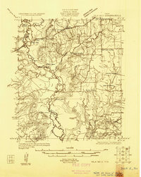
1925 · Iola No 2
USGS Topo · 1:48,000
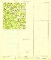
1931 · Iola
USGS Topo · 1:62,500

1954 · Beaumont
USGS Topo · 1:250,000

1954 · Austin
USGS Topo · 1:250,000
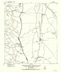
1956 · Carlos
USGS Topo · 1:62,500

1957 · Beaumont
USGS Topo · 1:250,000
1959 · Clear Lake
USGS Topo · 1:24,000
1959 · Reliance
USGS Topo · 1:24,000
1961 · Singleton
USGS Topo · 1:24,000
1962 · Keith
USGS Topo · 1:24,000