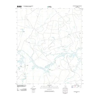
2010 Map of Wyser Bottom
USGS Topo · Published 2010About this map
Wyser Bottom is defined by the winding course of the Trinity River, where the waterway carves through a landscape of dense creek networks and prominent river bluffs. In the early 21st century, this stretch of Walker County remains largely rural, dominated by water features like Horseshoe Lake and the backwaters of the Livingston Reservoir. The map reveals a high concentration of small, family-named burial grounds, including Mason Cemetery, Calhoun Cemetery, and Cincinnati Cemetery, which serve as vital markers for local genealogists. Evidence of small-scale water management is visible through numerous named dams such as the Garden Lake Dam and Moten Lake Dam. The terrain is punctuated by significant elevations like Cincinnati Bluff and Wyser Bluff, while settlements are represented by the uniquely named Lost Indian Camp near the banks of Bedias Creek.
Find a feature on this map
49 named features on this map. Tap any name to fly to it.
Don’t see what you’re looking for? This feature index may not catch every label — zoom into the map to look around manually.
Map Details
Editions of this 2010 Wyser Bottom Map
This is the sole edition of this map. No revisions or reprints were ever made.
Other maps of this area

1953 · Palestine
USGS Topo · 1:250,000

1954 · Beaumont
USGS Topo · 1:250,000

1957 · Beaumont
USGS Topo · 1:250,000

1957 · Palestine
USGS Topo · 1:250,000

1960 · Trinity West
USGS Topo · 1:24,000

1961 · Riverside
USGS Topo · 1:24,000

1962 · Pine Prairie
USGS Topo · 1:24,000

1962 · Lovelady South
USGS Topo · 1:24,000

1962 · Wyser Bottom
USGS Topo · 1:24,000

1962 · Baker Lake
USGS Topo · 1:24,000