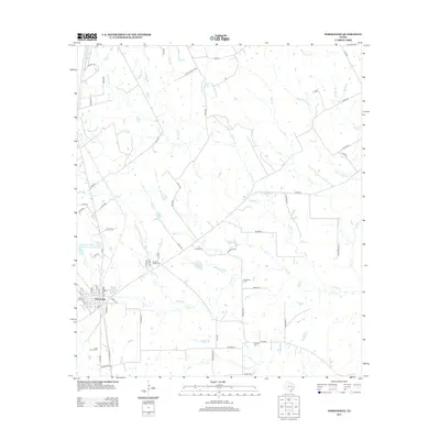
2013 Map of Normangee
USGS Topo · Published 2013About this map
Normangee serves as the primary hub in this portion of Leon and Madison Counties, where a network of county roads and farm-to-market routes branch out into a landscape defined by seasonal creek drainages and agricultural land. The map highlights a significant genealogical record through several burial grounds, including Rodgers Prairie Cem and Sand Prairie Cem to the west, and Randolph Cem and Tenmile Cem to the east. Water management is a visible priority here, evidenced by the Soil Conservation Service Site 1 Reservoir and several small bodies of water like Moss Lake and Cook Lake. These features, alongside the branching headwaters of E Caney Cr and Salt Cr, illustrate the rural character and land-use patterns of East Texas during the early 21st century.
Find a feature on this map
75 named features on this map. Tap any name to fly to it.
Don’t see what you’re looking for? This feature index may not catch every label — zoom into the map to look around manually.
Map Details
Editions of this 2013 Normangee Map
This is the sole edition of this map. No revisions or reprints were ever made.
Other maps of this area
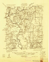
1925 · Iola No 2
USGS Topo · 1:48,000
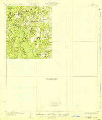
1931 · Iola
USGS Topo · 1:62,500

1953 · Palestine
USGS Topo · 1:250,000

1954 · Waco
USGS Topo · 1:250,000

1954 · Beaumont
USGS Topo · 1:250,000

1954 · Austin
USGS Topo · 1:250,000

1955 · Waco
USGS Topo · 1:250,000

1957 · Beaumont
USGS Topo · 1:250,000

1957 · Palestine
USGS Topo · 1:250,000
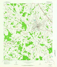
1963 · Madisonville
USGS Topo · 1:24,000