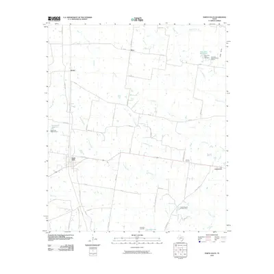
2010 Map of North Zulch
USGS Topo · Published 2010About this map
North Zulch and the surrounding Madison County countryside are defined by a network of ranch lands and winding tributaries. The landscape is dominated by the drainages of Kickapoo Creek and Iron Creek, which feed numerous local impoundments including the North Zulch Reservoir and Santa Alina Ranch Lake. Smaller rural clusters such as Mecca, George, and Cottonwood dot the periphery, connected by farm-to-market roads and named family routes like Jinkins Rd and Diserens Rd. This 2010 survey reveals a modern rural Texas economy built on ranching and water management, evidenced by several named dams such as the Texas Noname Number 2 Dam. Cultural landmarks like the Oxford Cemetery, located off Oxford Cemetery Rd, provide specific points of interest for genealogists tracing local families in this portion of the Brazos River basin.
Find a feature on this map
51 named features on this map. Tap any name to fly to it.
Don’t see what you’re looking for? This feature index may not catch every label — zoom into the map to look around manually.
Map Details
Editions of this 2010 North Zulch Map
This is the sole edition of this map. No revisions or reprints were ever made.
Other maps of this area
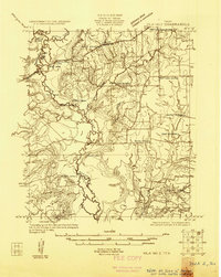
1925 · Iola No 2
USGS Topo · 1:48,000
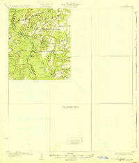
1931 · Iola
USGS Topo · 1:62,500

1953 · Palestine
USGS Topo · 1:250,000

1954 · Waco
USGS Topo · 1:250,000

1954 · Beaumont
USGS Topo · 1:250,000

1954 · Austin
USGS Topo · 1:250,000

1955 · Waco
USGS Topo · 1:250,000

1957 · Beaumont
USGS Topo · 1:250,000

1957 · Palestine
USGS Topo · 1:250,000
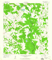
1959 · Clear Lake
USGS Topo · 1:24,000