2020s Maps of Milam County, Texas
Explore 30 historic maps of Milam County from the 2020s. These maps offer a rare glimpse into what life looked like during the 2020s — showing old roads, neighborhoods, homes, and landmarks that have changed or disappeared over time.
Whether you're researching your family's past, planning a metal detecting trip, or studying how Milam County's landscape evolved across the 2020s, these high-resolution maps are a powerful tool for exploring the history of this region.
- Focus on a specific era: All maps on this page are from the 2020s, giving you a focused view of this time period.
- See what’s changed: Compare century-old streets, trails, and buildings to today's modern landscape using overlays and satellite layers.
- Research with precision: Use these maps for genealogy, historical research, land use analysis, or educational projects.
- View, download, or print: Maps are fully viewable online in high resolution, and can be downloaded or printed for your own records.
Start exploring Milam County's history through authentic maps from the 2020s. This is your window into the past.
Milam County, TX maps
(30)- 2022 Map of Westphalia, 2022 Print
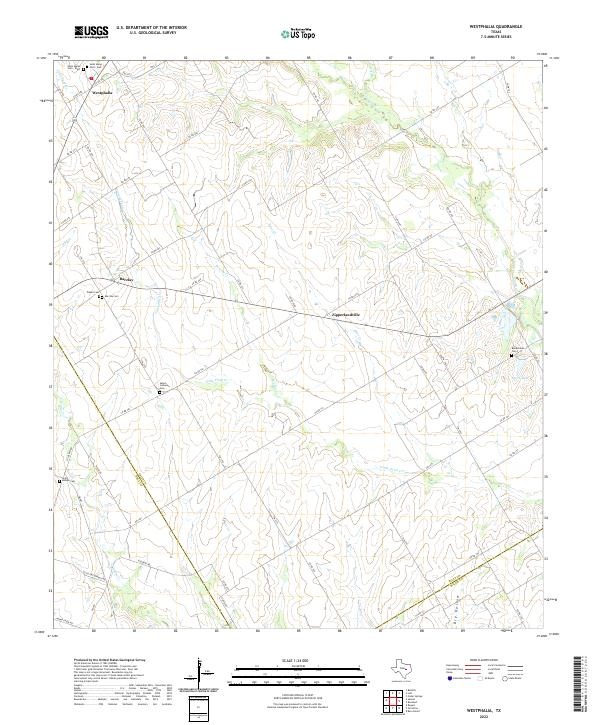 2022 Westphalia2022 Print · USGSFalls County's rural heartland is preserved here in the early twenty-first century, showing a landscape of traditional Texas farming communities. Genealogists can trace family roots at numerous local burial sites including Salem Lutheran Cem, Barclay Cem, and Saint Joseph Cem.
 - 2022 Map of Goodwill, 2022 Print
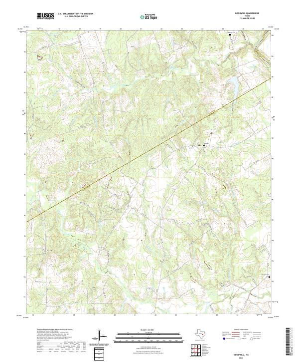 2022 Goodwill2022 Print · USGSBurleson County, Texas, is captured here in the early 2020s at the junction of three counties. Genealogists can locate Hix Cem and Goodwill Cem, while others may trace the winding Brazos River or the path of Oil Field Rd.
 - 2022 Map of Rockdale East, 2022 Print
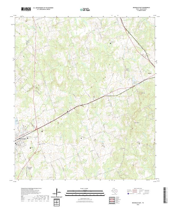 2022 Rockdale East2022 Print · USGSMilam County's eastern cattle and ranch lands come into focus in this recent survey of the area between Rockdale and Milano. Local historians can trace numerous legacy burial sites like the Jewish Cemetery and Sefcik - Kohut Cemetery.
 - 2022 Map of Ben Arnold, 2022 Print
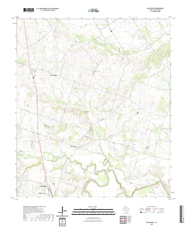 2022 Ben Arnold2022 Print · USGSMilam County's agricultural heartland is documented here in the early twenty-first century, spanning the terrain from the Little River up to Ben Arnold. Researchers can locate several rural burial grounds like Beale Cem and trace the waters of Big Elm Creek.
 - 2022 Map of Milano, 2022 Print
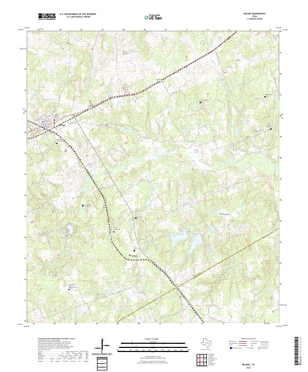 2022 Milano2022 Print · USGSMilano and the rural borderlands of Milam and Burleson counties are captured here in the early twenty-first century. Genealogists can locate numerous local burial sites including Smyrna Cem, Santana Ruiz Cemeterio, and the Foster Family Cem.
 - 2022 Map of Cameron, 2022 Print
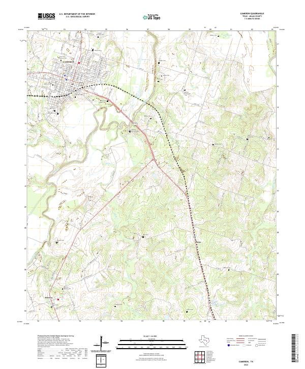 2022 Cameron2022 Print · USGSMilam County's heart is documented here in the early twenty-first century, centered on the historic seat of Cameron and the winding Little River. Genealogists can trace decades of local history through dozens of named burial sites, including Salter Chapel Cem, Thatch Cem, and Hernandez Cem.
 - 2022 Map of Mumford, 2022 Print
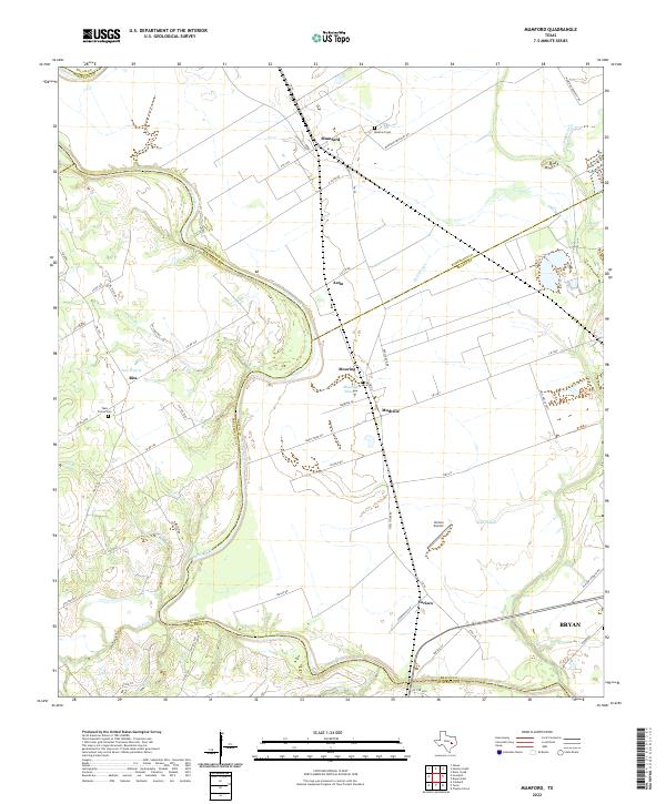 2022 Mumford2022 Print · USGSThe Brazos River bottomlands in the early twenty-first century reveal a landscape of enduring agricultural settlements and complex river hydrology. Genealogists and local historians can trace family-named sites like Teals Prairie Cem, Varisco Airport, and the community of Mudville.
 - 2022 Map of Hanover, 2022 Print
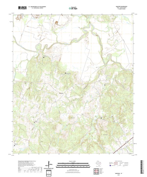 2022 Hanover2022 Print · USGSMilam County near the bend of the Little River is captured here in the early 2020s, showing a landscape defined by traditional rural settlements. Genealogists can trace family heritage through numerous burial sites like Pin Oak Cem, Blakely Cem, and the Liberty Community Cem.
 - 2022 Map of Calvert, 2022 Print
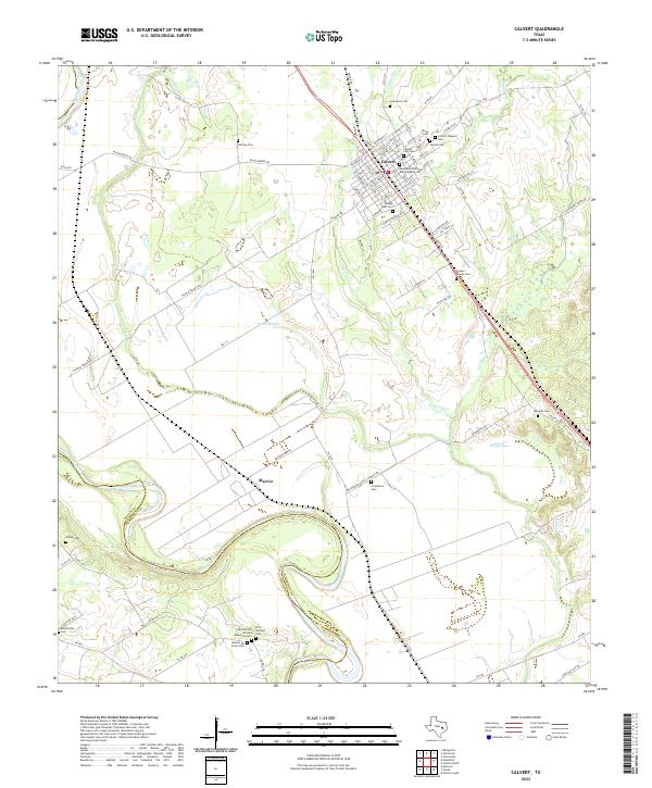 2022 Calvert2022 Print · USGSThe Brazos River valley in Robertson County comes alive in this contemporary record of its diverse heritage and river-bottom landscape. Genealogists can locate specific family and community sites including the Jewish Cem, Mission De Cristo Cem, and the settlement of Marvin.
 - 2022 Map of Hicks, 2022 Print
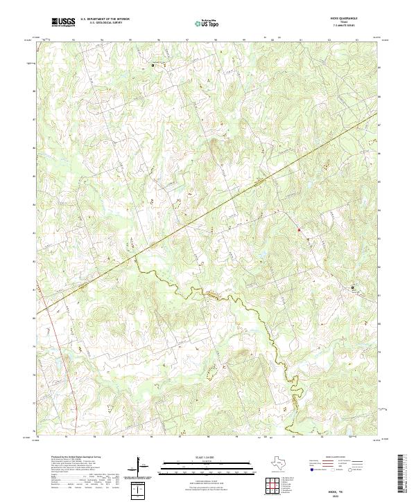 2022 Hicks2022 Print · USGSMilam, Burleson, and Lee counties meet in this Central Texas pastoral landscape during the early 2020s. Genealogists and local historians can locate rural burial sites like Harmony Cem and Black Jack Cem along the winding banks of E Yegua Cr.
 - 2022 Map of Maysfield, 2022 Print
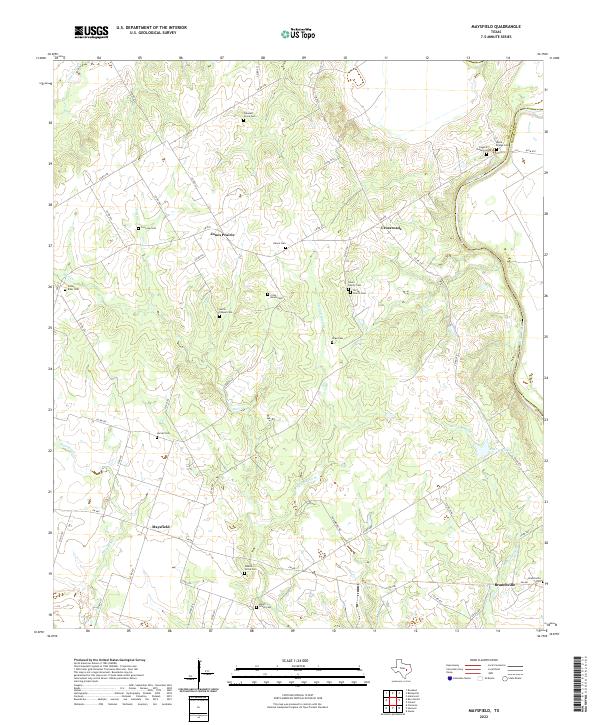 2022 Maysfield2022 Print · USGSMilam County in the early twenty-first century remains a landscape of quiet rural crossroads and family lineages. Researchers can trace ancestral sites across several community cemeteries, including G A Love Cem, Harlin Chapel Cem, and Milam Grove Cem.
 - 2022 Map of Gause, 2022 Print
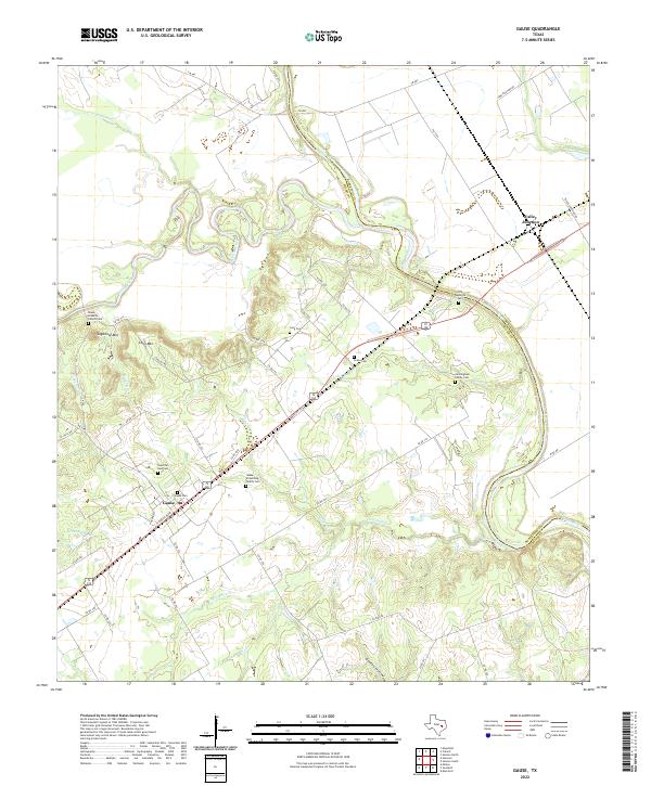 2022 Gause2022 Print · USGSThe Brazos River valley in the early twenty-first century reveals a landscape defined by its waterways and longstanding family settlements. Genealogists can trace deep roots at Gause-Armstrong Family Cem, Cunningham Family Cem, and Valley Junction.
 - 2022 Map of Hearne South, 2022 Print
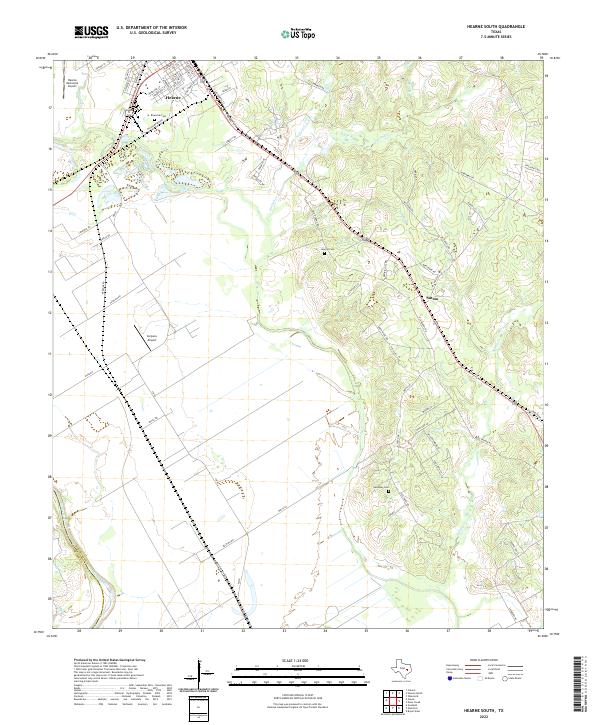 2022 Hearne South2022 Print · USGSIn the fertile lowlands of Robertson County during the early 2020s, the area around Hearne and Sutton reveals a landscape defined by its river-bottom proximity. You can trace family history through local sites like Riverside Cem, Galloway Cem, and the old routes along Pin Oak Cr.
 - 2022 Map of Chriesman, 2022 Print
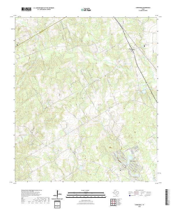 2022 Chriesman2022 Print · USGSBurleson and Milam counties meet in this corner of Texas where rural traditions and newer settlements converge near the turn of the millennium. Genealogists can locate family landmarks like Chriesman Cemetery, Shiloh Cemetery, and the residential area of Cade Lakes.
 - 2022 Map of Rosebud, 2022 Print
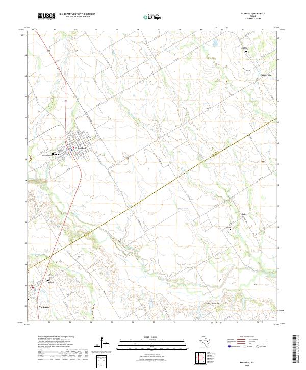 2022 Rosebud2022 Print · USGSRosebud and the surrounding Blackland Prairie terrain of Falls and Milam counties are captured here in the early twenty-first century. Genealogists can trace several local burial sites including Burlington - Black Cem, Woodland Cem, and Powers Cem.
 - 2022 Map of Hammond, 2022 Print
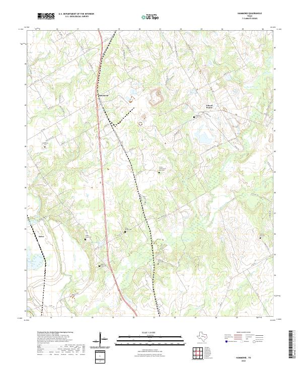 2022 Hammond2022 Print · USGSHammond and the surrounding Robertson County countryside appear here in the early twenty-first century, showing a landscape of family farms and creek-fed bottomlands. Genealogists can trace local roots through numerous burial sites like Saint Paul Cem, Bethlehem Cem, and the Talbot - Salter Cem.
 - 2022 Map of Baileyville, 2022 Print
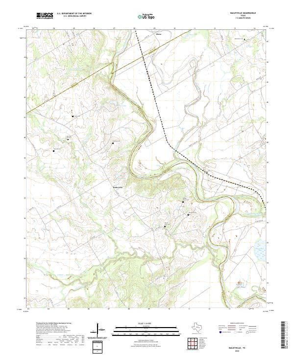 2022 Baileyville2022 Print · USGSMilam and Robertson counties are defined here by the winding Brazos River as it appeared in the early 2020s. Genealogists can locate numerous local burial sites including Macedonia Cem, Caddo Cem, and Morning Star Cem near Baileyville.
 - 2022 Map of Alcoa Lake, 2022 Print
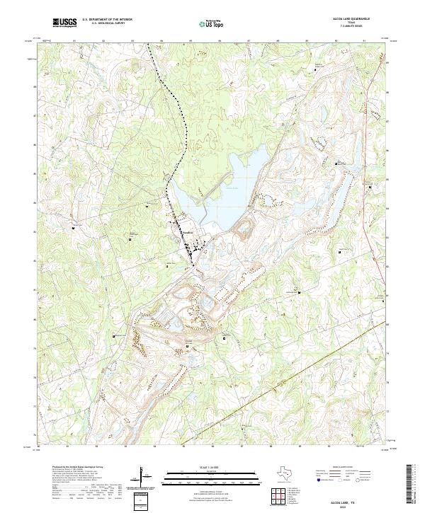 2022 Alcoa Lake2022 Print · USGSMilam and Lee counties in central Texas are shown here in the 2020s, revealing a landscape of family-named cemeteries and rural roads. Genealogists can trace family heritage at Hamilton Chapel Cem, Keen Cem, and Simmons - Jones Cem near Sandow.
 - 2022 Map of Pettibone, 2022 Print
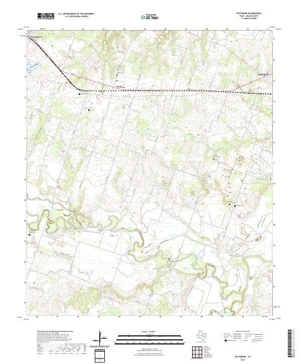 2022 Pettibone2022 Print · USGSMilam County in the 2020s remains a landscape of river bottomlands and legacy family settlements. Genealogists can locate several historic burial sites, including Salem - Wilson Cem, Holtzclaw Cem, and Dockery Cem near the Little River.
 - 2022 Map of Rockdale West, 2022 Print
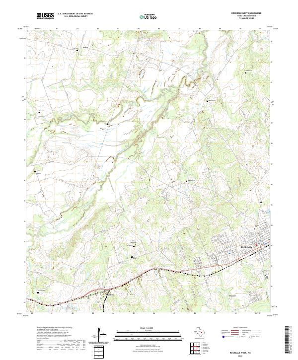 2022 Rockdale West2022 Print · USGSThe western edge of Rockdale and the surrounding Milam County countryside are preserved here in the early twenty-first century. Genealogists can locate several historic burial grounds including Odd Fellows Cem, Tracy Cem, and the Hirt-Braun Cem along the San Gabriel River.
 - 2022 Map of Lexington, 2022 Print
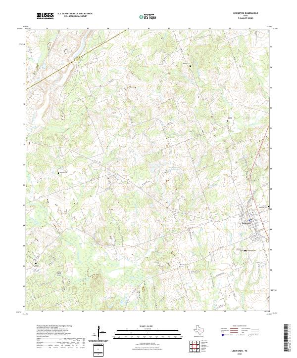 2022 Lexington2022 Print · USGSLexington and the surrounding Lee County countryside are documented here in the early twenty-first century, showcasing a landscape deeply rooted in local family history. Researchers can locate numerous rural burial sites including Guthrie Cem Old, Phears Cem, and Mesquite Cem alongside landmarks like Cotton Patch Airport.
 - 2022 Map of Yarrelton, 2022 Print
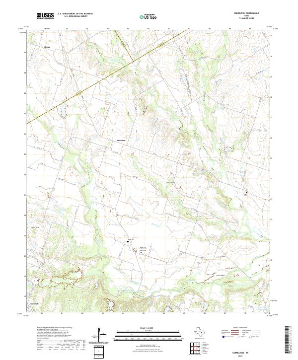 2022 Yarrelton2022 Print · USGSThe rural expanse between Yarrelton and Buckholts comes into focus during this early twenty-first-century survey of the Milam County countryside. Genealogists can trace family heritage through local landmarks like Saints Cyril and Methodius Church Cem and the North Elm Cem.
 - 2022 Map of San Gabriel, 2022 Print
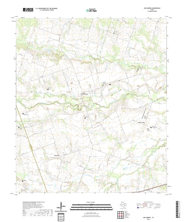 2022 San Gabriel2022 Print · USGSMilam and Williamson counties appear here as a quiet network of river crossings and family ranchlands in the early twenty-first century. Researchers can trace dozens of local burial sites like Locklin Cem and Moore Cem near the banks of the San Gabriel River.
 - 2022 Map of Rogers, 2022 Print
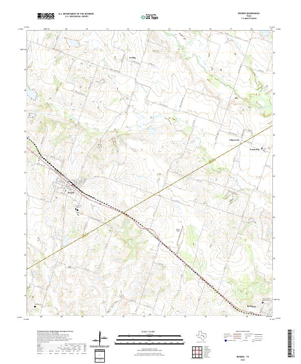 2022 Rogers2022 Print · USGSRogers and Buckholts anchor this 2022 survey of the Bell and Milam county line during a period of steady rural continuity. Genealogists can locate family sites at Rogers Cem West, South Elm Cem, and Hope Lutheran Memorial Park.
 - 2022 Map of Thorndale, 2022 Print
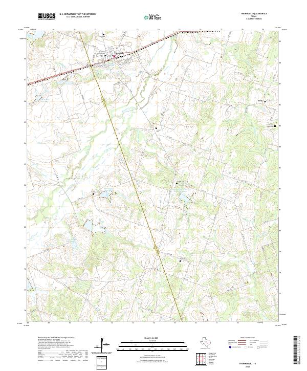 2022 Thorndale2022 Print · USGSThorndale and the surrounding rural communities on the Milam and Williamson county line are captured in this modern survey. Researchers can trace family history through a high density of burial sites including Salty Cem, Ramseur Cem, and Conoley Cem.
Showing maps 1-25 of 30
Top cities of Milam County
- Rockdale historical maps
- Cameron historical maps
- Thorndale historical maps
- Buckholts historical maps
- Milano historical maps
Frequently asked questions
- What are the different types of historical maps available for Milam County?
- What is the oldest map of Milam County?
- Where can I purchase historical maps of Milam County for my home or office?
- Where can I download high-res historical maps of Milam County?
- Are there historical topographic maps available for Milam County?
- Is there historical aerial imagery available for Milam County?
- Where are historical maps of Milam County sourced from?