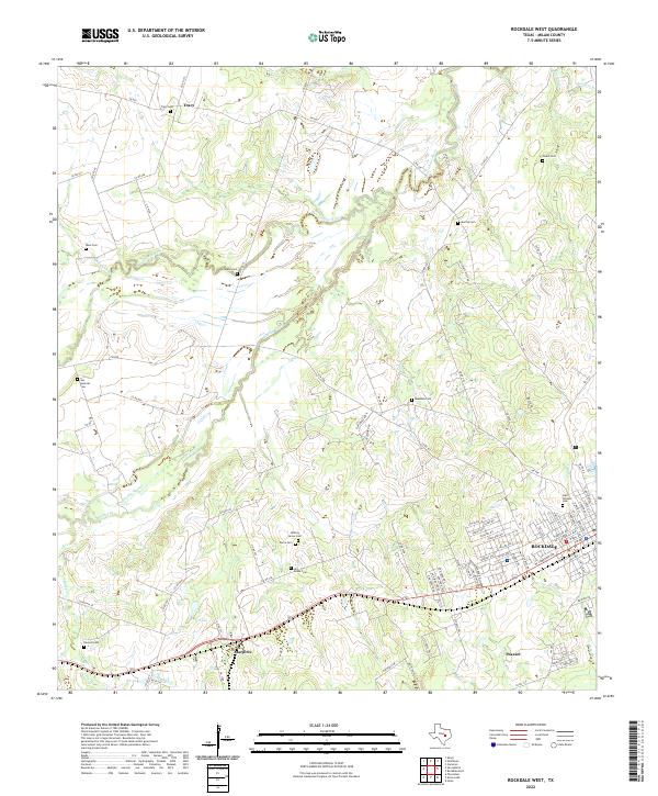
2022 Map of Rockdale West
USGS Topo · Published 2022About this map
Rockdale serves as the primary urban center for this portion of Milam County, where the street grid of the town's western edge meets the expansive ranch and creek lands of central Texas. The area is defined by the winding course of the San Gabriel River and its numerous tributaries, including Brushy Creek and Alligator Cr, which carve through a landscape dotted with long-standing family and community burial grounds. These sites, such as the Odd Fellows Cem and Gilleland Cem, offer significant genealogical value for those tracing the early settlers of the region.
Find a feature on this map
101 named features on this map. Tap any name to fly to it.
Don’t see what you’re looking for? This feature index may not catch every label — zoom into the map to look around manually.
Map Details
Editions of this 2022 Rockdale West Map
This is the sole edition of this map. No revisions or reprints were ever made.
Other maps of this area

1885 · Taylor
USGS Topo · 1:125,000

1887 · Taylor
USGS Topo · 1:125,000

1894 · Taylor
USGS Topo · 1:125,000

1910 · Buckholts
USGS Topo · 1:24,000

1912 · Buckholts
USGS Topo · 1:31,680

1954 · Austin
USGS Topo · 1:250,000

1956 · Milano
USGS Topo · 1:62,500

1961 · Cameron
USGS Topo · 1:24,000

1961 · Rockdale East
USGS Topo · 1:24,000

1962 · Rockdale West
USGS Topo · 1:24,000