Old Maps of Newton, Texas for Hiking & Exploration
Hike through history with 23 historic maps of Newton. Explore old trails, ghost towns, and forgotten backroads — perfect for outdoor adventurers and local explorers.
- Rediscover forgotten places: Map out old mining camps, roads, and footpaths that no longer exist on modern maps.
- Layer with modern tools: Combine with LiDAR or satellite views to plan hikes through historical terrain.
- Made for exploration: Popular among hikers, overlanders, and local history lovers.
Use these maps to find adventure and explore the hidden past of Newton.
Newton, TX maps
(23)- 1952 Map of Lake Charles
 1952 Lake Charles1952 Print · USGSSouthwest Louisiana is captured here in the mid-fifties, showing a landscape defined by the rise of the petrochemical industry and deep-water navigation. Researchers can trace family roots through numerous small-town settlements and oil developments like Nibletts Bluff, the Lockport Oil Field, and Starks.
 - 1954 Map of Lake Charles, 1964 Print
 1954 Lake Charles1964 Print · USGSSouthwest Louisiana in the mid-fifties is defined by its massive petroleum industry and its complex network of bayous and rail lines. Researchers can trace the development of the Sulphur Mines Oil Field or locate historic settlements like Longville and De Quincy.3 unique versions available
 - 1955 Map of Roganville, 1956 Print
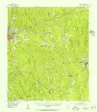 1955 Roganville1956 Print · USGSDeep in the East Texas piney woods during the mid-fifties, this area shows a landscape of timber-focused rail lines and small country congregations. Researchers can locate family landmarks like Cole Springs Cemetery, Holly Springs, and the Zion Lookout tower.2 unique versions available
 - 1959 Map of Merryville, 1960 Print
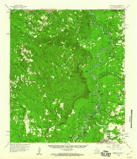 1959 Merryville1960 Print · USGSThe Sabine River bottomlands and the timber country of Newton County and Beauregard Parish are captured here in the late fifties. Genealogists and historians can locate rural landmarks like Shankleville, the Merryville Oil Field, and West Bethlehem.2 unique versions available
 - 1984 Map of Shankleville, 1985 Print
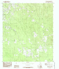
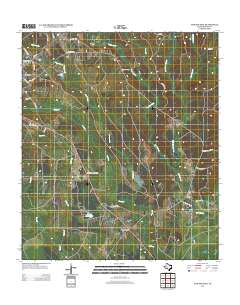
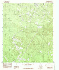 1984 Shankleville1985 Print · USGSNewton County in the late twentieth century reveals a landscape of dispersed timber-country settlements and winding creek bottoms. Researchers can trace family sites near Shankleville, locate the Burkeville Lookout Tower, and map the reaches of Little Cow Creek.
 - 1984 Map of Newton West, 1985 Print
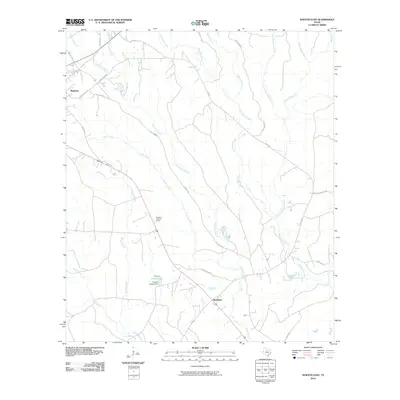
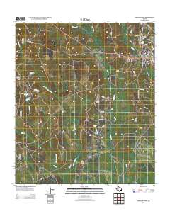
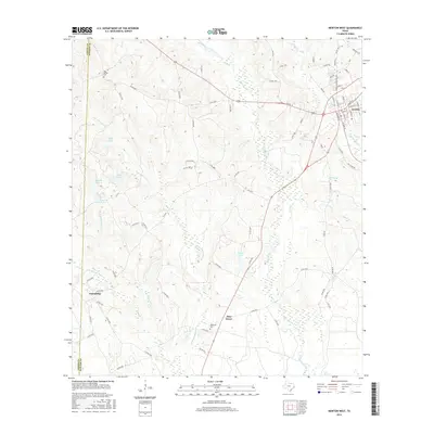
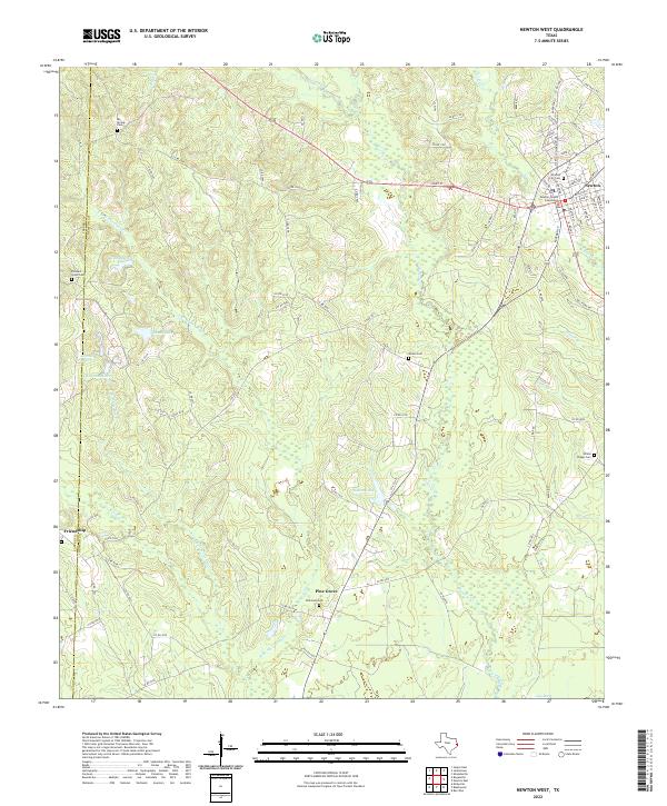
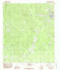 1984 Newton West1985 Print · USGSNewton and the surrounding piney woods come to life in this mid-1980s survey of the Big Cow Creek basin. Local historians can trace family locations near Friendship Ch, the Friendship Cem, and the community of Pine Grove.
 - 1984 Map of Newton East, 1985 Print
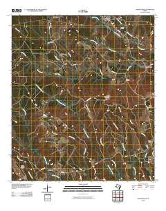
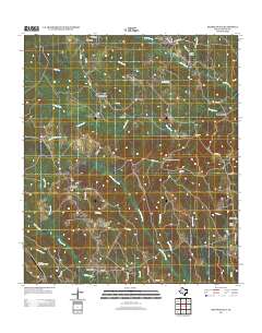
 1984 Newton East1985 Print · USGSNewton County in the mid-eighties shows a landscape of timbered ridges and winding creek bottoms. Genealogists and local historians can trace rural landmarks from the community of Buckhorn to the heights of the Lookout Tower and local Cem.
 - 1986 Map of DeRidder
 1986 DeRidder1986 Print · USGSThe Louisiana-Texas borderlands come to life in the mid-eighties, showcasing the timber country and rail corridors of the Sabine River valley. Researchers can trace the legacy of small communities and transit lines through Merryville, Holly Springs, and the Missouri Pacific railroad.2 unique versions available
 - 2010 Map of Newton West, 2010 Print
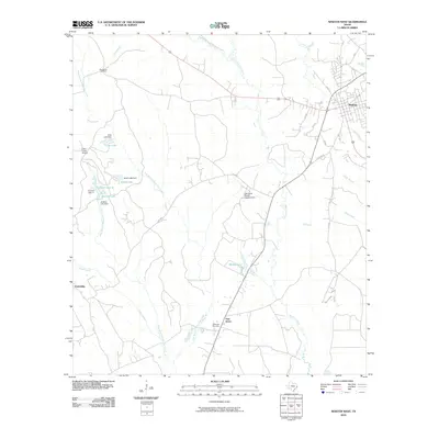 2010 Newton West2010 Print · USGSCovers Newton, including Pine Grove, Friendship, and other nearby areas
 - 2010 Map of Shankleville, 2010 Print
 2010 Shankleville2010 Print · USGSCovers Newton, including Quicksand, Wiergate, and other nearby areas
 - 2010 Map of Newton East, 2010 Print
 2010 Newton East2010 Print · USGSCovers Newton, including Buckhorn, Newton County, and other nearby areas
 - 2012 Map of Newton West, 2012 Print
 2012 Newton West2012 Print · USGSCovers Newton, including Pine Grove, Friendship, and other nearby areas
 - 2012 Map of Shankleville, 2012 Print
 2012 Shankleville2012 Print · USGSCovers Newton, including Quicksand, Wiergate, and other nearby areas
 - 2012 Map of Newton East, 2012 Print
 2012 Newton East2012 Print · USGSCovers Newton, including Buckhorn, Newton County, and other nearby areas
 - 2016 Map of Newton East, 2016 Print
 2016 Newton East2016 Print · USGSCovers Newton, including Buckhorn, Newton County, and other nearby areas
 - 2016 Map of Newton West, 2016 Print
 2016 Newton West2016 Print · USGSCovers Newton, including Pine Grove, Friendship, and other nearby areas
 - 2016 Map of Shankleville, 2016 Print
 2016 Shankleville2016 Print · USGSCovers Newton, including Quicksand, Wiergate, and other nearby areas
 - 2019 Map of Shankleville, 2019 Print
 2019 Shankleville2019 Print · USGSCovers Newton, including Quicksand, Wiergate, and other nearby areas
 - 2019 Map of Newton East, 2019 Print
 2019 Newton East2019 Print · USGSCovers Newton, including Buckhorn, Newton County, and other nearby areas
 - 2019 Map of Newton West, 2019 Print
 2019 Newton West2019 Print · USGSCovers Newton, including Pine Grove, Friendship, and other nearby areas
 - 2022 Map of Newton East, 2022 Print
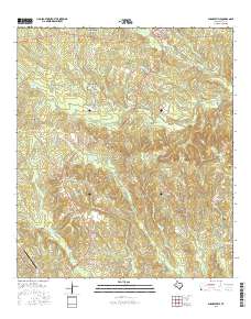
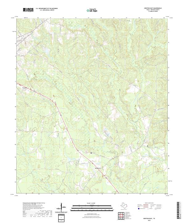 2022 Newton East2022 Print · USGSNewton County's wooded landscapes and rural settlements are documented here in the early twenty-first century. Genealogists and local historians can trace family sites at Ford Cem and Quicksand Cem or follow the paths of Threemile Br and Caney Cr.
 - 2022 Map of Newton West, 2022 Print
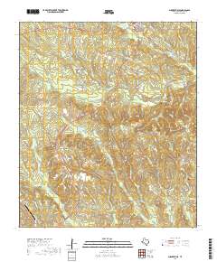
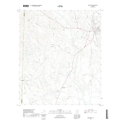
 2022 Newton West2022 Print · USGSNewton and its surrounding East Texas timberlands are captured here in the early twenty-first century. Family historians can locate family burial plots at Woods Cem and Wilkinson Cem or trace the civic center around the Newton County Courthouse.
 - 2022 Map of Shankleville, 2022 Print
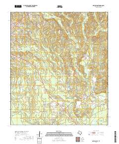
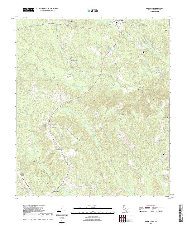 2022 Shankleville2022 Print · USGSNewton County's rural communities and historic freedom colonies are preserved here in the modern era. Genealogists can trace family heritage through numerous burial sites like Jim Shankle Cem and Liberty Community Cem near Shankleville.
End of results
Showing maps 1-23 of 23
Top cities near Newton
Frequently asked questions
- What are the different types of historical maps available for Newton?
- What is the oldest map of Newton?
- Where can I purchase historical maps of Newton for my home or office?
- Where can I download high-res historical maps of Newton?
- Are there historical topographic maps available for Newton?
- Is there historical aerial imagery available for Newton?
- Where are historical maps of Newton sourced from?