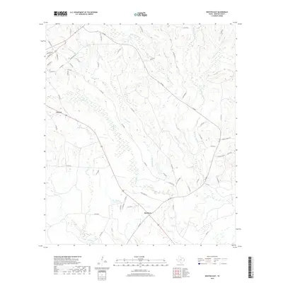
2019 Map of Newton East
USGS Topo · Published 2019About this map
Newton serves as the focal point for this area of East Texas, where the town's grid meets the surrounding timberlands and creek drainages. The landscape is defined by an intricate network of waterways, including Quicksand Cr and its tributary Little Quicksand Cr, which carve through the terrain alongside Threemile Br and Caney Cr. These streams indicate the natural drainage patterns that have historically influenced settlement and road placement in the county.
Find a feature on this map
60 named features on this map. Tap any name to fly to it.
Don’t see what you’re looking for? This feature index may not catch every label — zoom into the map to look around manually.
Map Details
Editions of this 2019 Newton East Map
This is the sole edition of this map. No revisions or reprints were ever made.
Other maps of this area

1935 · Wilson Lake
USGS Topo · 1:31,680

1946 · Merryville
USGS Topo · 1:31,680

1947 · Wilson Lake
USGS Topo · 1:31,680

1947 · Bivens
USGS Topo · 1:31,680

1949 · Evans
USGS Topo · 1:31,680

1952 · Lake Charles
USGS Topo · 1:250,000
1954 · Merryville
USGS Topo · 1:31,680
1954 · Bivens
USGS Topo · 1:31,680

1954 · Lake Charles
USGS Topo · 1:250,000

1955 · Roganville
USGS Topo · 1:62,500