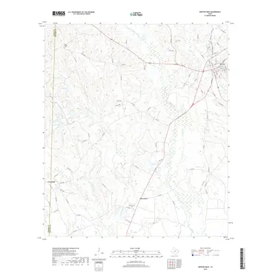
2019 Map of Newton West
USGS Topo · Published 2019About this map
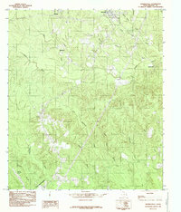
Newton serves as the focal point for this Southeast Texas landscape, situated at the junction of several critical regional roads. The terrain is defined by an intricate network of waterways, most notably Big Cow Creek and Caney Cr, which drain through the timbered hills of the Piney Woods. This 2019 survey provides contemporary documentation of rural settlements like Pine Grove and Friendship, offering a precise record of local infrastructure and land divisions at the Jasper and Newton county line.
Find a feature on this map
95 named features on this map. Tap any name to fly to it.
Don’t see what you’re looking for? This feature index may not catch every label — zoom into the map to look around manually.
Map Details
Editions of this 2019 Newton West Map
This is the sole edition of this map. No revisions or reprints were ever made.
Other maps of this area

1935 · Wilson Lake
USGS Topo · 1:31,680

1947 · Wilson Lake
USGS Topo · 1:31,680

1952 · Lake Charles
USGS Topo · 1:250,000

1954 · Lake Charles
USGS Topo · 1:250,000

1955 · Roganville
USGS Topo · 1:62,500

1958 · Kirbyville
USGS Topo · 1:62,500
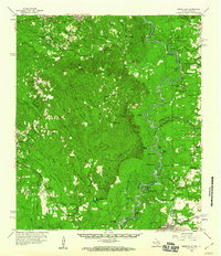
1959 · Merryville
USGS Topo · 1:62,500
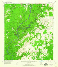
1959 · Bon Wier
USGS Topo · 1:62,500
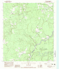
1982 · Bon Wier
USGS Topo · 1:24,000
1984 · Shankleville
USGS Topo · 1:24,000