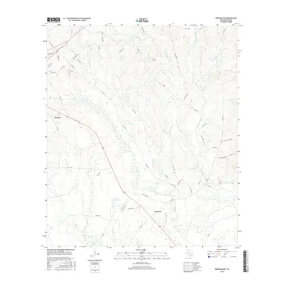
2016 Map of Newton East
USGS Topo · Published 2016About this map
The eastern reaches of Newton and the rural community of Buckhorn define this East Texas landscape as it appeared in the mid-2010s. The area is characterized by a dense network of watercourses, including the central Threemile Br, Hassle Br, and the winding Quicksand Cr, which together feed into the local watershed south of Temple Eastex Lake. The terrain is marked by the timber and agricultural road systems typical of the region, where state routes like FM 2626 intersect with historic local names such as Klines Ferry Rd and Lee's Mill Rd. These corridor names hint at the older river-and-road economy that once relied on ferries and mills along the various branches. While many of the smaller settlements are sparse, the concentration of family-named roads and named creek branches like Little Quicksand Cr and Hackberry Br provides clear markers for researchers tracing local property lines and geographic roots.
Find a feature on this map
59 named features on this map. Tap any name to fly to it.
Don’t see what you’re looking for? This feature index may not catch every label — zoom into the map to look around manually.
Map Details
Editions of this 2016 Newton East Map
This is the sole edition of this map. No revisions or reprints were ever made.
Other maps of this area

1935 · Wilson Lake
USGS Topo · 1:31,680

1946 · Merryville
USGS Topo · 1:31,680

1947 · Wilson Lake
USGS Topo · 1:31,680

1947 · Bivens
USGS Topo · 1:31,680

1949 · Evans
USGS Topo · 1:31,680

1952 · Lake Charles
USGS Topo · 1:250,000
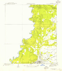
1954 · Merryville
USGS Topo · 1:31,680
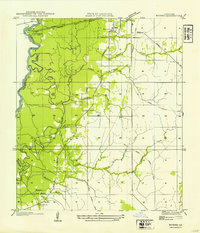
1954 · Bivens
USGS Topo · 1:31,680

1954 · Lake Charles
USGS Topo · 1:250,000

1955 · Roganville
USGS Topo · 1:62,500