2020s Maps of Corpus Christi, Texas
Explore 29 historic maps of Corpus Christi from the 2020s. These maps offer a rare glimpse into what life looked like during the 2020s — showing old roads, neighborhoods, homes, and landmarks that have changed or disappeared over time.
Whether you're researching your family's past, planning a metal detecting trip, or studying how Corpus Christi's landscape evolved across the 2020s, these high-resolution maps are a powerful tool for exploring the history of this region.
- Focus on a specific era: All maps on this page are from the 2020s, giving you a focused view of this time period.
- See what’s changed: Compare century-old streets, trails, and buildings to today's modern landscape using overlays and satellite layers.
- Research with precision: Use these maps for genealogy, historical research, land use analysis, or educational projects.
- View, download, or print: Maps are fully viewable online in high resolution, and can be downloaded or printed for your own records.
Start exploring Corpus Christi's history through authentic maps from the 2020s. This is your window into the past.
Corpus Christi, TX maps
(29)- 2022 Map of Crane Islands NW, 2022 Print
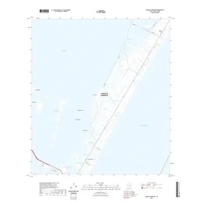 2022 Crane Islands NW2022 Print · USGSCovers Corpus Christi, including Nueces County, United States, and other nearby areas
 - 2022 Map of Petronila NE, 2022 Print
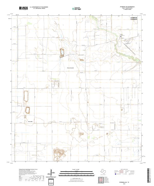 2022 Petronila NE2022 Print · USGSSouth of the city of Corpus Christi in the early 2020s, this area shows a landscape defined by coastal prairie agriculture and regional aviation. Genealogists and local historians can trace family-named routes like Blackie Berry Rd and locate Memory Gardens Cem or Petronila.
 - 2022 Map of Edroy, 2022 Print
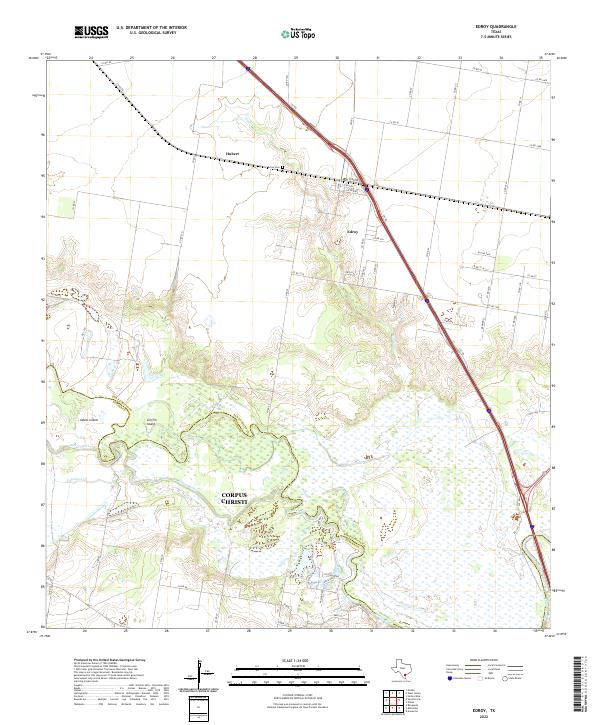 2022 Edroy2022 Print · USGSThe marshy lowlands of the San Patricio and Nueces county line are captured here in the early twenty-first century. Family researchers and local historians can trace the rural layout around Edroy, locate the Edroy Cem, and explore the wetlands surrounding Odem Island.
 - 2022 Map of Crane Islands NW OE E, 2022 Print
 2022 Crane Islands NW OE E2022 Print · USGSCovers Corpus Christi, including Port Aransas, Nueces County, and other nearby areas
 - 2022 Map of Gregory, 2022 Print
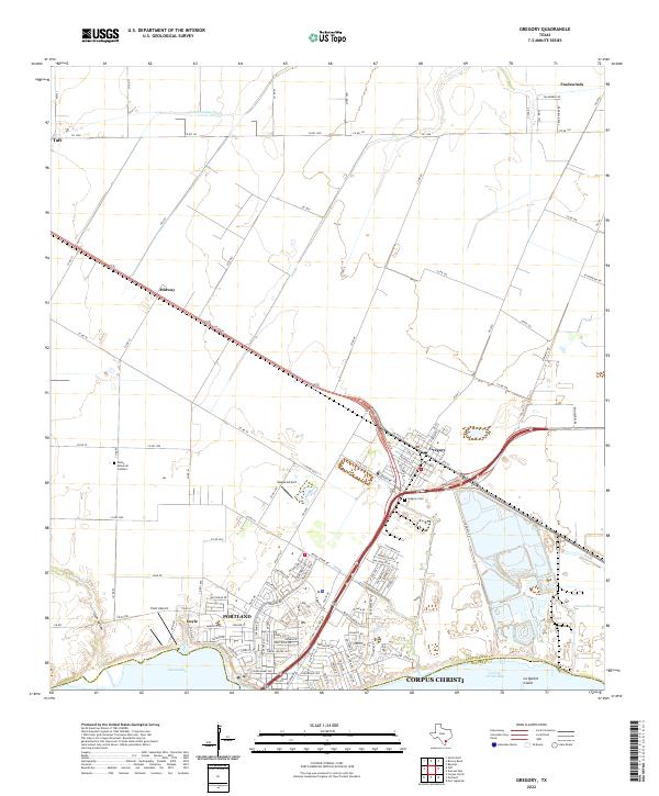 2022 Gregory2022 Print · USGSThe San Patricio County coastline and the growing suburbs of Portland are documented here in the early 2020s. Researchers can trace the layout of coastal settlements like Gregory and Doyle or locate family sites at Gregory Cem.
 - 2022 Map of Portland, 2022 Print
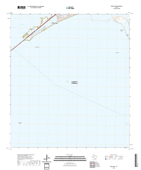 2022 Portland2022 Print · USGSThe Texas Gulf Coast comes into focus in the early 2020s where Portland overlooks the junction of Nueces Bay and the open gulf. Trace the shoreline from Indian Point to La Quinta Island and locate the Indian Point Pier.
 - 2022 Map of Crane Islands SW, 2022 Print
 2022 Crane Islands SW2022 Print · USGSCovers Corpus Christi, including Nueces County, Kleberg County, and other nearby areas
 - 2022 Map of Port Aransas, 2022 Print
 2022 Port Aransas2022 Print · USGSCovers Corpus Christi, including Aransas Pass, Port Aransas, and other nearby areas
 - 2022 Map of Annaville, 2022 Print
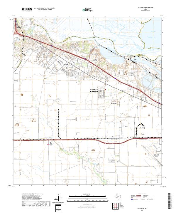 2022 Annaville2022 Print · USGSThe outskirts of Corpus Christi meet the Nueces River in this modern survey of the coastal bend. Genealogists can locate several local burial sites like Nuecestown Cem and Saint Anthony's Cem near the communities of Annaville and Violet.
 - 2022 Map of South Bird Island, 2022 Print
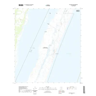 2022 South Bird Island2022 Print · USGSCovers Corpus Christi, including Kleberg County, United States, and other nearby areas
 - 2022 Map of Odem, 2022 Print
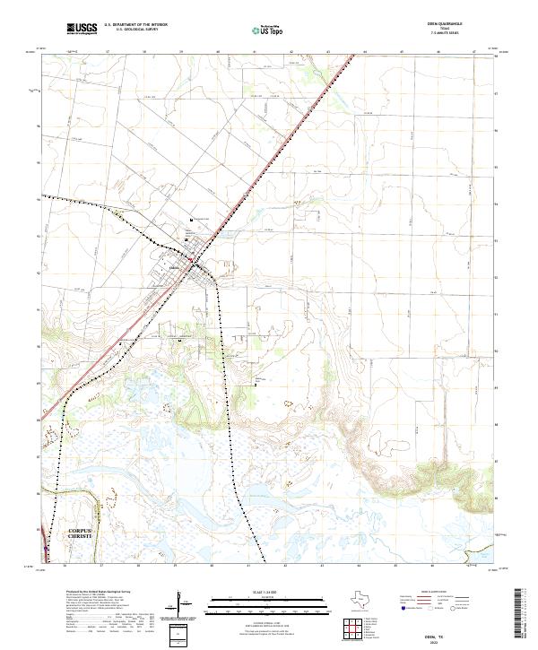 2022 Odem2022 Print · USGSSan Patricio County at the edge of the Nueces delta is shown here in detail during the early twenty-first century. Genealogists and local historians can locate several rural burial grounds including Evergreen Cem, Meansville Cem, and Bethel Cem.
 - 2022 Map of Pita Island, 2022 Print
 2022 Pita Island2022 Print · USGSCovers Corpus Christi, including Nueces County, Kleberg County, and other nearby areas
 - 2022 Map of Robstown, 2022 Print
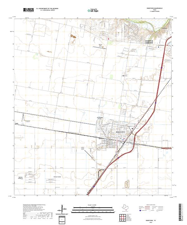 2022 Robstown2022 Print · USGSCoastal bend Texas at the start of the 2020s shows the continued growth of Robstown and its suburban neighbors. Researchers can trace family history through sites like Robstown Cem or explore aviation landmarks like Nueces County Airport and Rabb.
 - 2022 Map of Corpus Christi, 2022 Print
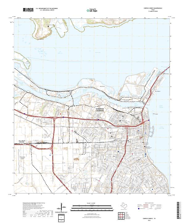 2022 Corpus Christi2022 Print · USGSThe Texas coastline at Corpus Christi comes into sharp focus in this 2022 survey, showcasing the massive maritime infrastructure that drives the regional economy. Local historians can trace the city's growth from Old Bayview Cem to the industrial works at Avery Point and Flour Bluff Junction.
 - 2022 Map of Taft, 2022 Print
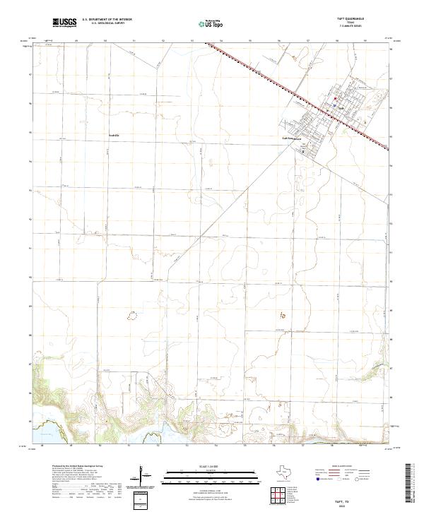 2022 Taft2022 Print · USGSSan Patricio County's coastal plains are captured here in the early 2020s, showcasing the structured development of Taft and Taft Southwest. Researchers can trace rural property boundaries and local infrastructure near Sodville or the natural drainage at Gum Hollow.
 - 2022 Map of Estes, 2022 Print
 2022 Estes2022 Print · USGSCovers Corpus Christi, including Rockport, Aransas Pass, and other nearby areas
 - 2022 Map of Aransas Pass, 2022 Print
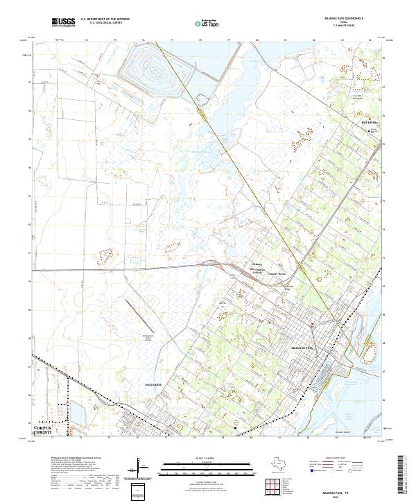 2022 Aransas Pass2022 Print · USGSThe Texas Coastal Bend comes into sharp focus during this period of maritime and residential expansion. Genealogists and local researchers can trace family plots at Prairie View Cem or navigate the waterways around Ransom Island and Redfish Bay.
 - 2022 Map of Oso Creek NE, 2022 Print
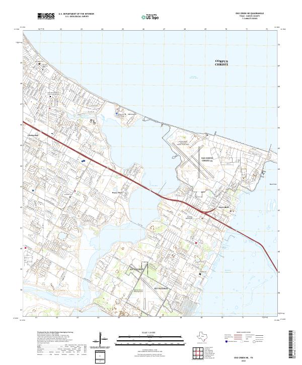 2022 Oso Creek NE2022 Print · USGSThe coastal stretches of Corpus Christi and the Encinal Peninsula are captured here in the early twenty-first century. Researchers can trace the development of Flour Bluff and military installations like Waldron Naval Outlying Field and the Corpus Christi Naval Air Station/Truax Field.
 - 2022 Map of Port Ingleside, 2022 Print
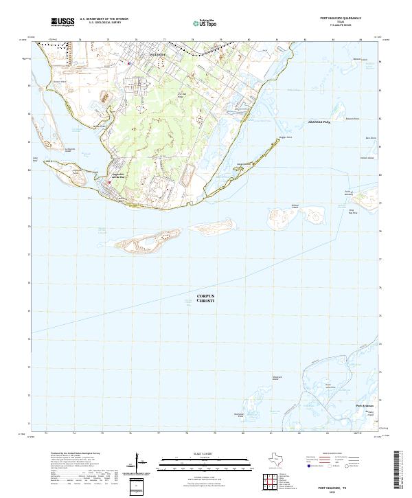 2022 Port Ingleside2022 Print · USGSThe Texas Gulf Coast near Ingleside and Aransas Pass is captured here in the early 2020s. Trace maritime history along the Corpus Christi Channel or explore local landmarks like McGloins Bluff and Live Oak Ridge.
 - 2022 Map of Allyns Bight, 2022 Print
 2022 Allyns Bight2022 Print · USGSCovers Corpus Christi, including Aransas County, United States, and other nearby areas
 - 2023 Map of Oso Creek NW, 2023 Print
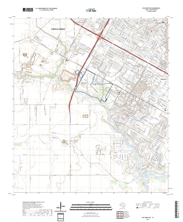 2023 Oso Creek NW2023 Print · USGSSouth of central Corpus Christi in the 2020s, the landscape is defined by naval aviation history and suburban expansion. Trace the bounds of Alf Cabaniss or follow the winding Oso Creek past neighborhoods like Gardendale.
 - 2025 Map of Estes, 2025 Print
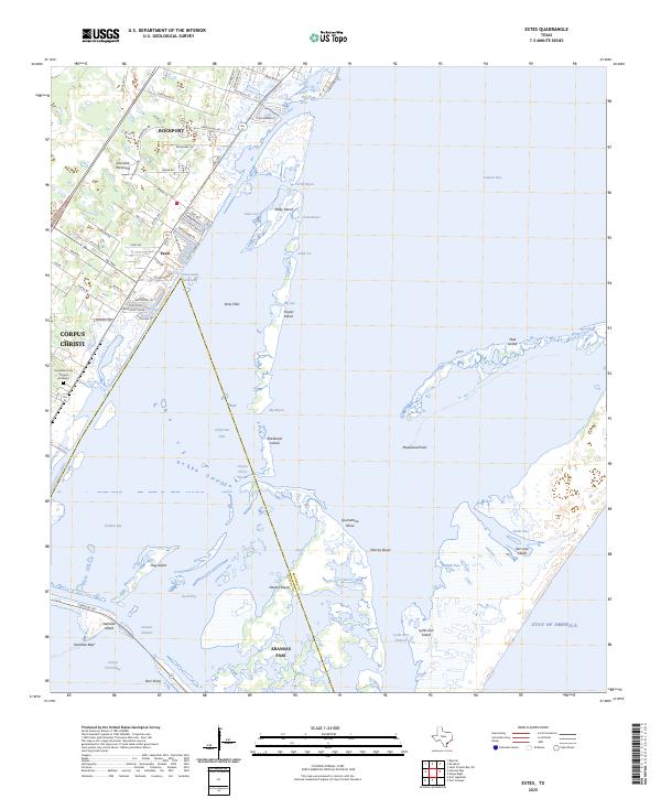 2025 Estes2025 Print · USGSThe Aransas County coastline comes alive in this contemporary record of the Live Oak Peninsula and its barrier islands. Genealogists and historians can trace local landmarks like the Cementerio San Antonio de Padua and the Intracoastal Waterway near Estes.
 - 2025 Map of Crane Islands NW, 2025 Print
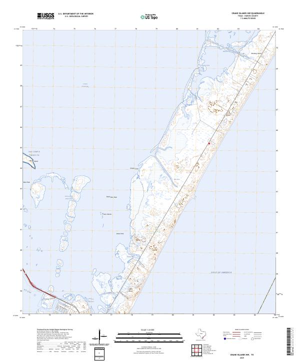 2025 Crane Islands NW2025 Print · USGSThe Texas barrier islands are caught in a moment of modern coastal management and military presence during the 2020s. Trace the reach of NAS Corpus Christi TX and the essential maritime paths of the Intracoastal Waterway and Fish Pass.
 - 2025 Map of Pita Island, 2025 Print
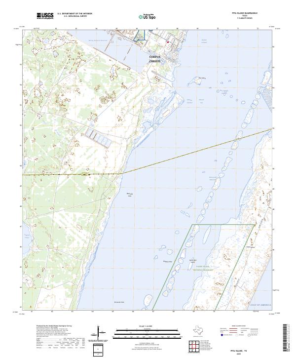 2025 Pita Island2025 Print · USGSThe Texas coast south of Corpus Christi is captured here in a detailed modern study of its barrier islands and coastal lagoons. Researchers can trace maritime routes through the Intracoastal Waterway or locate local landmarks like Pita Island and Alf Waldron.
 - 2025 Map of Port Aransas, 2025 Print
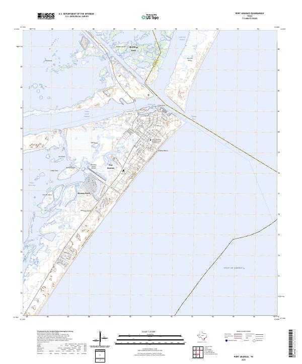 2025 Port Aransas2025 Print · USGSPort Aransas sits at the junction of the Gulf and the coastal channels during this mid-2020s survey of Mustang Island. Researchers can locate Royal Palm Cem, the Mustang Beach Airport, and local landmarks like Turtle Cove.
Showing maps 1-25 of 29
Top cities near Corpus Christi
- Portland historical maps
- Ingleside historical maps
- Aransas Pass historical maps
- Port Aransas historical maps
- Gregory historical maps
- Ingleside on the Bay historical maps
Top neighborhoods of Corpus Christi
- McNorton historical maps
- San Juan historical maps
- Clarkwood historical maps
- Northwest historical maps
- Mustang-Padre Island historical maps
- South Side historical maps
See more
Frequently asked questions
- What are the different types of historical maps available for Corpus Christi?
- What is the oldest map of Corpus Christi?
- Where can I purchase historical maps of Corpus Christi for my home or office?
- Where can I download high-res historical maps of Corpus Christi?
- Are there historical topographic maps available for Corpus Christi?
- Is there historical aerial imagery available for Corpus Christi?
- Where are historical maps of Corpus Christi sourced from?