Old Maps of Balmorhea, Texas for Hiking & Exploration
Hike through history with 18 historic maps of Balmorhea. Explore old trails, ghost towns, and forgotten backroads — perfect for outdoor adventurers and local explorers.
- Rediscover forgotten places: Map out old mining camps, roads, and footpaths that no longer exist on modern maps.
- Layer with modern tools: Combine with LiDAR or satellite views to plan hikes through historical terrain.
- Made for exploration: Popular among hikers, overlanders, and local history lovers.
Use these maps to find adventure and explore the hidden past of Balmorhea.
Balmorhea, TX maps
(18)- 1894 Map of Fort Davis, 1961 Print
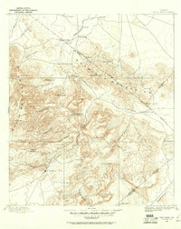 1894 Fort Davis1961 Print · USGSWest Texas in the late nineteenth century was a frontier of family ranching and vital springs. Genealogists and historians can trace the early locations of Fort Davis and numerous homesteads like Wards Ranch, Mahle's Ranch, and Huelster.
 - 1897 Map of Fort Davis
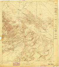 1897 Fort Davis1897 Print · USGSWest Texas ranching life and mountain topography are preserved in this 1890s survey centered on the frontier outpost of Fort Davis. Researchers can trace early family landholdings and essential water sites like Wards Ranch, Toyahvale, and Phantom Lake.3 unique versions available
 - 1954 Map of Fort Stockton, 1965 Print
 1954 Fort Stockton1965 Print · USGSWest Texas ranching and the early energy industry converge in this mid-century survey of the Trans-Pecos. Genealogists and historians can locate specific family lands like Graef Brothers Ranch and trace the paths of the Old Spanish Trail and the Southern Pacific railroad.3 unique versions available
 - 1958 Map of Fort Stockton
 1958 Fort Stockton1958 Print · USGSThe Trans-Pecos region of West Texas in the late fifties is a landscape of vast mesas and isolated ranching hubs. Genealogists and historians can trace the paths of the Texas and New Orleans RR through Alpine or locate early settlements like Bakersfield and Sanderson.
 - 1972 Map of Toyahvale, 1976 Print
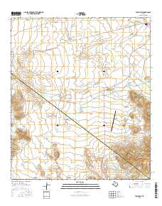
 1972 Toyahvale1976 Print · USGSReeves County in the early seventies is revealed as a desert landscape transformed by vital water systems and springs. Genealogists and local historians can trace irrigation networks like the Main Canal and locate sites like Pueblo Vitoria and Balmorhea Cem.
 - 1973 Map of Fort Stockton, 1974 Print
 1973 Fort Stockton1974 Print · USGSThe Trans-Pecos region of West Texas comes alive in the early seventies, from the desert flats of the Stockton Plateau to the heights of the Davis Mountains. Researchers can trace the legacy of frontier outposts and rail lines through Fort Davis Nat Hist Site, Alpine, and the Southern Pacific RR.
 - 1980 Map of Balmorhea
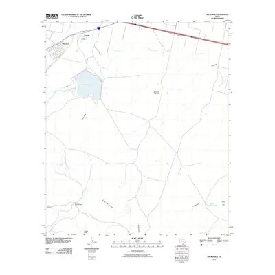
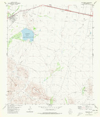 1980 Balmorhea1980 Print · USGSIn the Trans-Pecos desert during the early 1980s, Balmorhea and Brogado relied on a sophisticated network of canals and reservoirs. Genealogists and historians can trace the irrigation systems around Balmorhea Lake and locate the local Cem and Athletic Field.
 - 1985 Map of Fort Davis, 1994 Print
 1985 Fort Davis1994 Print · USGSWest Texas in the mid-eighties shows a landscape of high desert peaks and vital spring-fed irrigation. Trace the development of Toyahvale and Balmorhea, or locate specific landmarks like the Fort Davis National Historic Site and Robbers Roost.2 unique versions available
 - 2010 Map of Balmorhea, 2010 Print
 2010 Balmorhea2010 Print · USGSCovers Balmorhea, including Reeves County, United States, and other nearby areas
 - 2010 Map of Toyahvale, 2010 Print
 2010 Toyahvale2010 Print · USGSCovers Balmorhea, including Old Place Windmill, Pueblo Vitoria, and other nearby areas
 - 2012 Map of Balmorhea, 2012 Print
 2012 Balmorhea2012 Print · USGSCovers Balmorhea, including Reeves County, United States, and other nearby areas
 - 2012 Map of Toyahvale, 2012 Print
 2012 Toyahvale2012 Print · USGSCovers Balmorhea, including Old Place Windmill, Pueblo Vitoria, and other nearby areas
 - 2016 Map of Toyahvale, 2016 Print
 2016 Toyahvale2016 Print · USGSCovers Balmorhea, including Old Place Windmill, Pueblo Vitoria, and other nearby areas
 - 2016 Map of Balmorhea, 2016 Print
 2016 Balmorhea2016 Print · USGSCovers Balmorhea, including Reeves County, United States, and other nearby areas
 - 2019 Map of Toyahvale, 2019 Print
 2019 Toyahvale2019 Print · USGSCovers Balmorhea, including Old Place Windmill, Pueblo Vitoria, and other nearby areas
 - 2019 Map of Balmorhea, 2019 Print
 2019 Balmorhea2019 Print · USGSCovers Balmorhea, including Reeves County, United States, and other nearby areas
 - 2022 Map of Toyahvale, 2022 Print
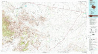
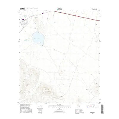
 2022 Toyahvale2022 Print · USGSThe desert oases of Reeves County are centered here at the southern edge of the Toyah Basin. Researchers can trace the complex irrigation networks of the Madera Diversion Canal and Main Canal or locate local landmarks like San Solomon Spring and Balmorhea Cem.
 - 2022 Map of Balmorhea, 2022 Print
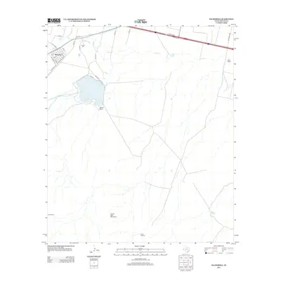
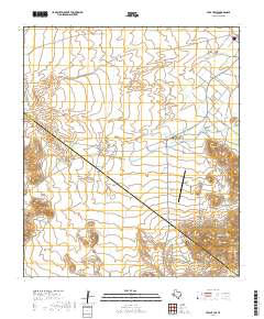
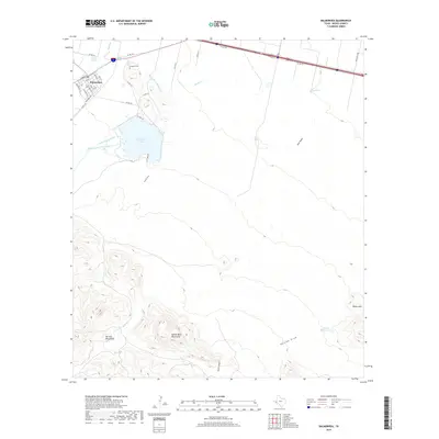
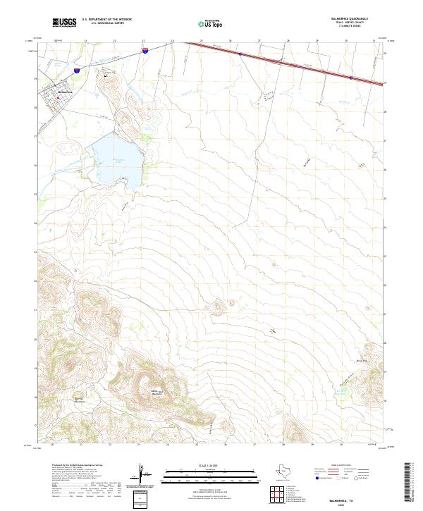 2022 Balmorhea2022 Print · USGSThe desert springs and irrigation canals of Balmorhea are documented here in the early twenty-first century. Researchers can trace the water network from Sandia Springs to Balmorhea Lake, or locate family sites near Brogado Cem and along Railroad Ave.
End of results
Showing maps 1-18 of 18
Frequently asked questions
- What are the different types of historical maps available for Balmorhea?
- What is the oldest map of Balmorhea?
- Where can I purchase historical maps of Balmorhea for my home or office?
- Where can I download high-res historical maps of Balmorhea?
- Are there historical topographic maps available for Balmorhea?
- Is there historical aerial imagery available for Balmorhea?
- Where are historical maps of Balmorhea sourced from?