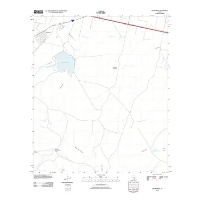
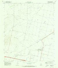
2010 Map of Balmorhea
USGS Topo · Published 2010About this map
Balmorhea Lake and its intricate irrigation system dominate the northern landscape of this Reeves County region. Controlled by the Balmorhea Lake Dam, the water is distributed through a series of engineered waterways including the Inlet Feeder Canal, Madera Diversion Canal, and Main Canal, which serve the agricultural needs of the high desert. The small community of Brogado and the town of Balmorhea sit near these vital water sources, with the Brogado Cemetery nearby providing a point of interest for genealogists and local historians.
Find a feature on this map
31 named features on this map. Tap any name to fly to it.
Don’t see what you’re looking for? This feature index may not catch every label — zoom into the map to look around manually.
Map Details
Editions of this 2010 Balmorhea Map
This is the sole edition of this map. No revisions or reprints were ever made.
Other maps of this area
1894 · Fort Davis
USGS Topo · 1:125,000
1897 · Fort Davis
USGS Topo · 1:125,000
1921 · Toyah
USGS Topo · 1:125,000

1954 · Pecos
USGS Topo · 1:250,000

1954 · Fort Stockton
USGS Topo · 1:250,000
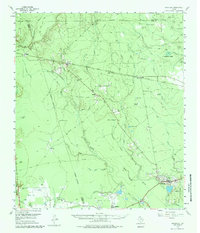
1955 · Saragosa
USGS Topo · 1:62,500
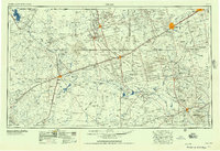
1957 · Pecos
USGS Topo · 1:250,000
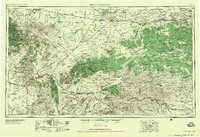
1958 · Fort Stockton
USGS Topo · 1:250,000
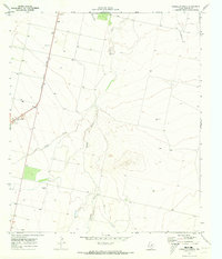
1970 · Verhalen South
USGS Topo · 1:24,000
1970 · Saragosa
USGS Topo · 1:24,000