2020s Maps of Robertson County, Texas
Explore 26 historic maps of Robertson County from the 2020s. These maps offer a rare glimpse into what life looked like during the 2020s — showing old roads, neighborhoods, homes, and landmarks that have changed or disappeared over time.
Whether you're researching your family's past, planning a metal detecting trip, or studying how Robertson County's landscape evolved across the 2020s, these high-resolution maps are a powerful tool for exploring the history of this region.
- Focus on a specific era: All maps on this page are from the 2020s, giving you a focused view of this time period.
- See what’s changed: Compare century-old streets, trails, and buildings to today's modern landscape using overlays and satellite layers.
- Research with precision: Use these maps for genealogy, historical research, land use analysis, or educational projects.
- View, download, or print: Maps are fully viewable online in high resolution, and can be downloaded or printed for your own records.
Start exploring Robertson County's history through authentic maps from the 2020s. This is your window into the past.
Robertson County, TX maps
(26)- 2022 Map of Goodwill, 2022 Print
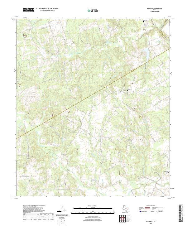 2022 Goodwill2022 Print · USGSBurleson County, Texas, is captured here in the early 2020s at the junction of three counties. Genealogists can locate Hix Cem and Goodwill Cem, while others may trace the winding Brazos River or the path of Oil Field Rd.
 - 2022 Map of Hearne North, 2022 Print
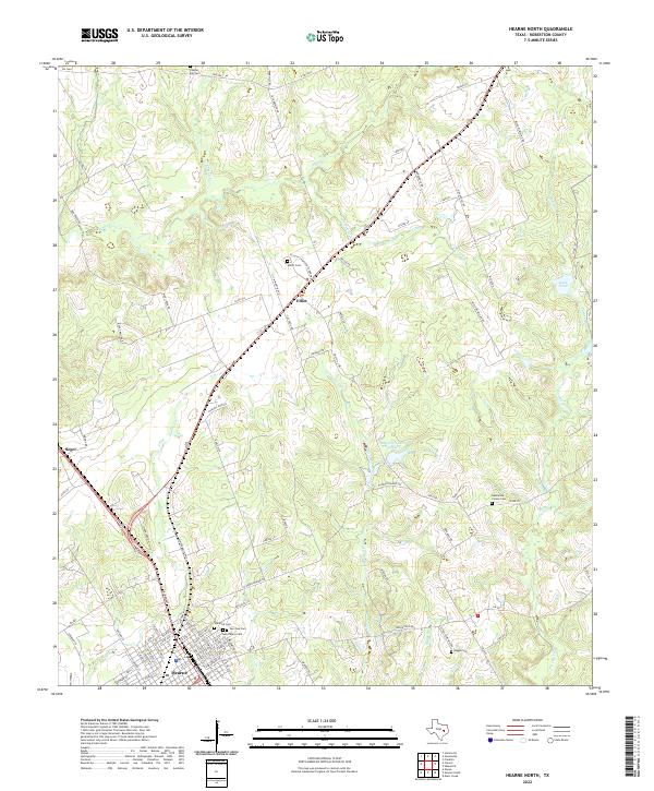 2022 Hearne North2022 Print · USGSRobertson County's rural north country is captured in this contemporary survey, showing the expansion of Hearne toward the settlements of Elliot and Seger. Genealogists can locate several historic burial grounds, from the Hammond Colony Cem to the family-named Elliott Cem near Wilson Rd.
 - 2022 Map of Mumford, 2022 Print
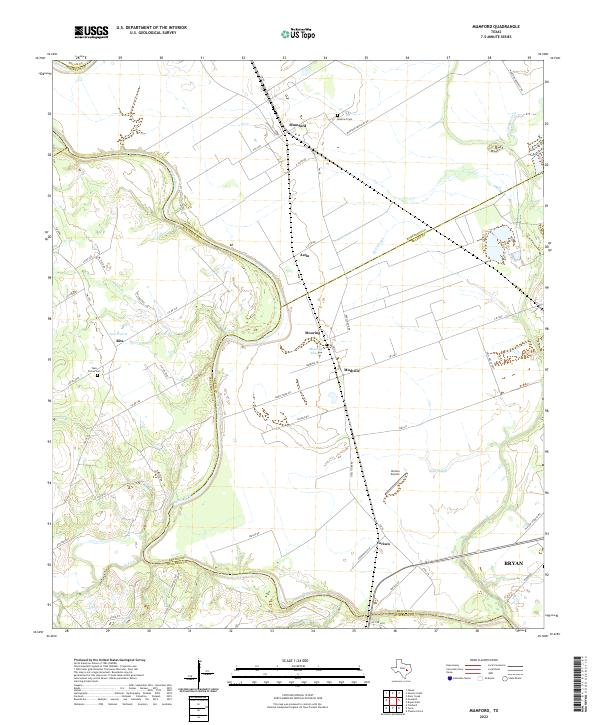 2022 Mumford2022 Print · USGSThe Brazos River bottomlands in the early twenty-first century reveal a landscape of enduring agricultural settlements and complex river hydrology. Genealogists and local historians can trace family-named sites like Teals Prairie Cem, Varisco Airport, and the community of Mudville.
 - 2022 Map of Wheelock, 2022 Print
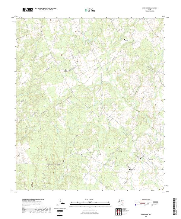 2022 Wheelock2022 Print · USGSThe rural crossroads of Wheelock in the early 2020s remain anchored by their historic cemeteries and winding creek drainages. Genealogists can trace family footprints at Henry Prairie Cem, Cavitt Cem, and along the banks of Copperas Creek.
 - 2022 Map of Calvert, 2022 Print
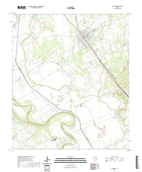 2022 Calvert2022 Print · USGSThe Brazos River valley in Robertson County comes alive in this contemporary record of its diverse heritage and river-bottom landscape. Genealogists can locate specific family and community sites including the Jewish Cem, Mission De Cristo Cem, and the settlement of Marvin.
 - 2022 Map of Edge, 2022 Print
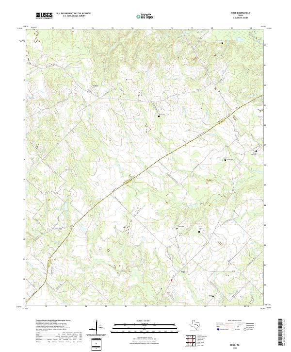 2022 Edge2022 Print · USGSThe rural borderlands of Robertson and Brazos Counties are captured here in the early 2020s, showing a landscape defined by family ranching and small communities. Researchers can trace ancestral locations through numerous burial sites like Shiloh Cem, Concord Cem, and the old Old Spanish Rd.
 - 2022 Map of Maysfield, 2022 Print
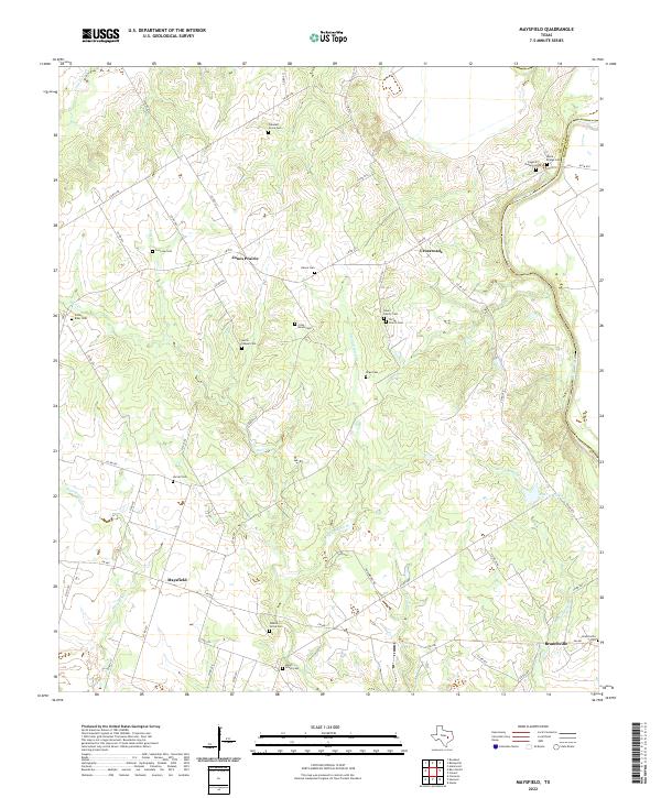 2022 Maysfield2022 Print · USGSMilam County in the early twenty-first century remains a landscape of quiet rural crossroads and family lineages. Researchers can trace ancestral sites across several community cemeteries, including G A Love Cem, Harlin Chapel Cem, and Milam Grove Cem.
 - 2022 Map of Canary, 2022 Print
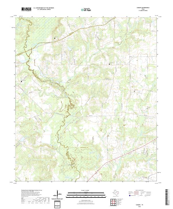 2022 Canary2022 Print · USGSThe Navasota River bottomlands in the early 2020s reveal a landscape of dense wetlands and historic transit corridors. Genealogists and local historians can trace rural family legacies at Burns Cem, Plainview Cem, and along the historic OSR Hwy.
 - 2022 Map of Gause, 2022 Print
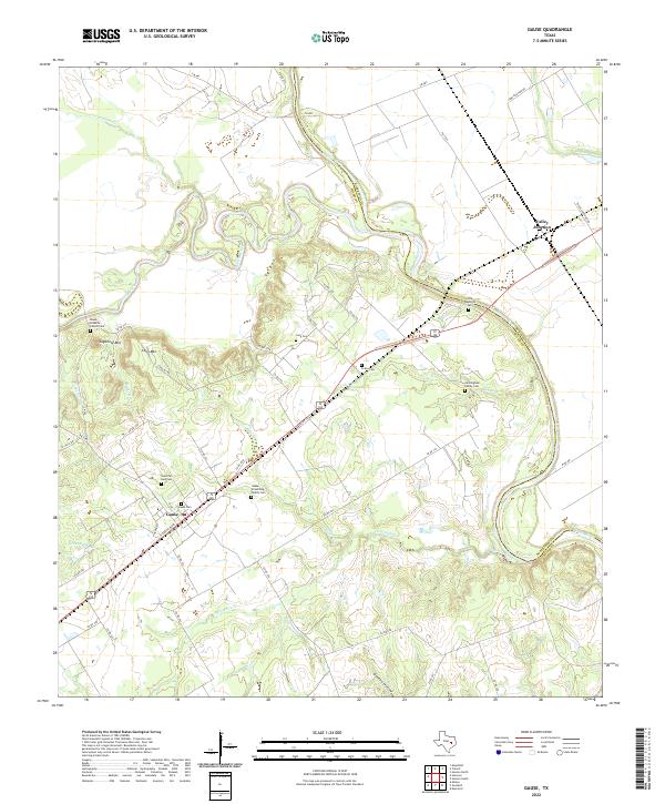 2022 Gause2022 Print · USGSThe Brazos River valley in the early twenty-first century reveals a landscape defined by its waterways and longstanding family settlements. Genealogists can trace deep roots at Gause-Armstrong Family Cem, Cunningham Family Cem, and Valley Junction.
 - 2022 Map of Dunn Creek, 2022 Print
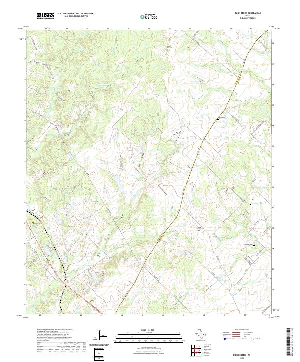 2022 Dunn Creek2022 Print · USGSModern Robertson and Brazos counties retain their rural character in this recent survey of the Texas post-oak savannah. Genealogists and local historians can trace legacy land use through several family-named burial sites, including Dunns Fort Cem, Walker Settlement Cem, and Alexander Cem.
 - 2022 Map of Hearne South, 2022 Print
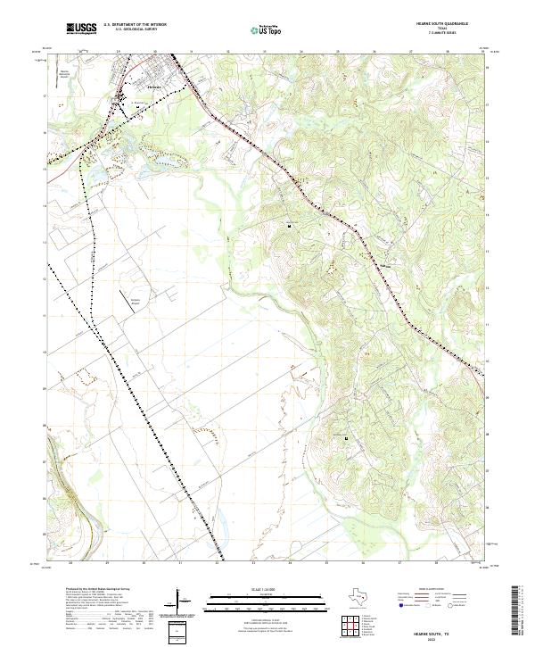 2022 Hearne South2022 Print · USGSIn the fertile lowlands of Robertson County during the early 2020s, the area around Hearne and Sutton reveals a landscape defined by its river-bottom proximity. You can trace family history through local sites like Riverside Cem, Galloway Cem, and the old routes along Pin Oak Cr.
 - 2022 Map of Hammond, 2022 Print
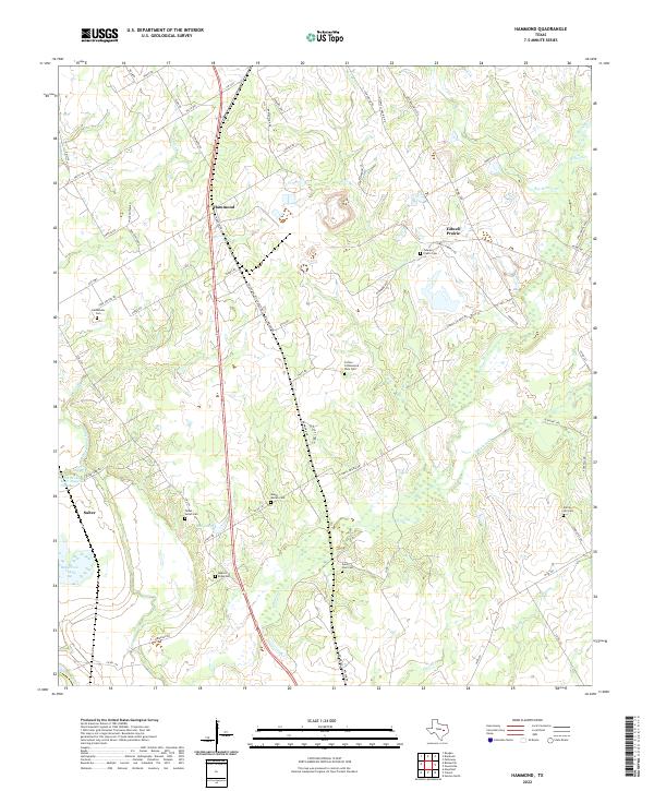 2022 Hammond2022 Print · USGSHammond and the surrounding Robertson County countryside appear here in the early twenty-first century, showing a landscape of family farms and creek-fed bottomlands. Genealogists can trace local roots through numerous burial sites like Saint Paul Cem, Bethlehem Cem, and the Talbot - Salter Cem.
 - 2022 Map of Kosse East, 2022 Print
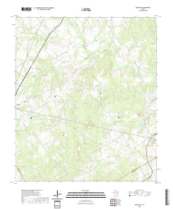 2022 Kosse East2022 Print · USGSLimestone County's rural heartland is captured here in the early 2020s, showing the enduring settlement patterns around Kosse. Genealogists can locate several historic burial sites, including Eutaw Cem, King Williams Cem, and Ebenezer Cem among the creek valleys.
 - 2022 Map of Baileyville, 2022 Print
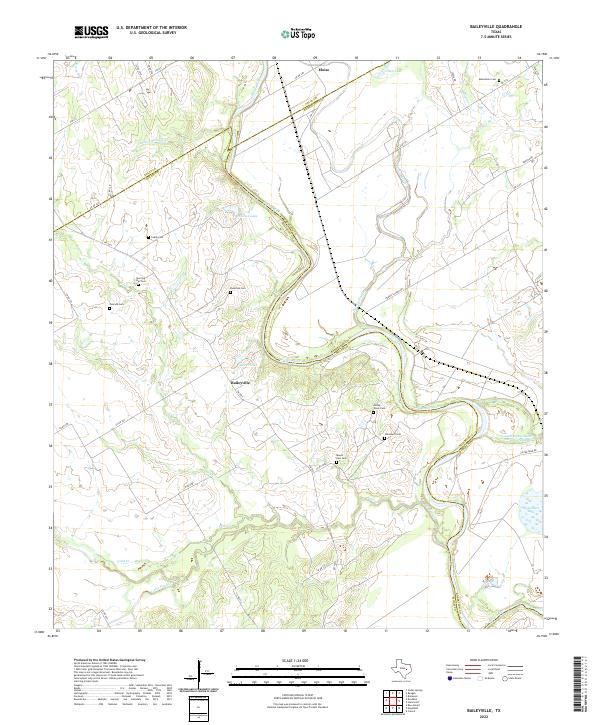 2022 Baileyville2022 Print · USGSMilam and Robertson counties are defined here by the winding Brazos River as it appeared in the early 2020s. Genealogists can locate numerous local burial sites including Macedonia Cem, Caddo Cem, and Morning Star Cem near Baileyville.
 - 2022 Map of Petteway, 2022 Print
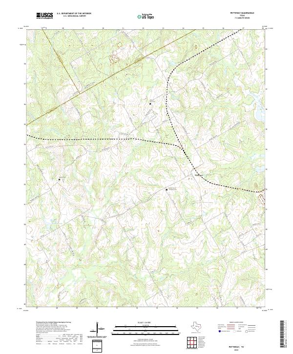 2022 Petteway2022 Print · USGSCentral Texas prairie life and rural heritage are detailed in this survey of the Robertson and Falls county line. Genealogists can trace family landmarks like Heards Prairie - Petteway Cem and White Rock Cem near the banks of Big Sandy Cr.
 - 2022 Map of Marquez, 2022 Print
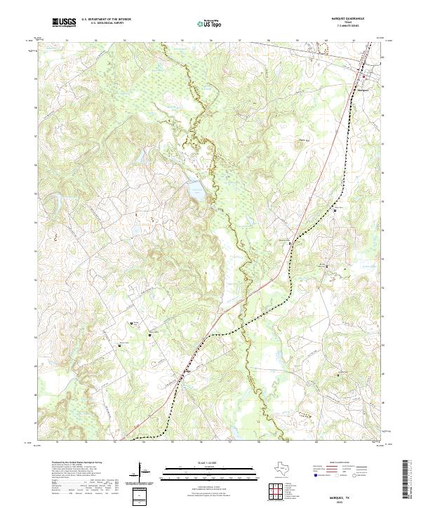 2022 Marquez2022 Print · USGSNear the Navasota River in Leon and Robertson counties, this recent survey documents a rural landscape where family history is deeply rooted in the land. Researchers can locate numerous small burial grounds like Winn Cem, Brushy Creek Cem, and Boring Cem near the town of Marquez.
 - 2022 Map of Reagan, 2022 Print
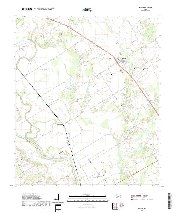 2022 Reagan2022 Print · USGSThe Brazos River bottomlands of Falls County come into focus in this recent study of rural Texas life. Genealogists can trace family legacies across more than a dozen local burial grounds, including Bethany Cem, Fish Creek Cem, and Washington Cem.
 - 2022 Map of Owensville, 2022 Print
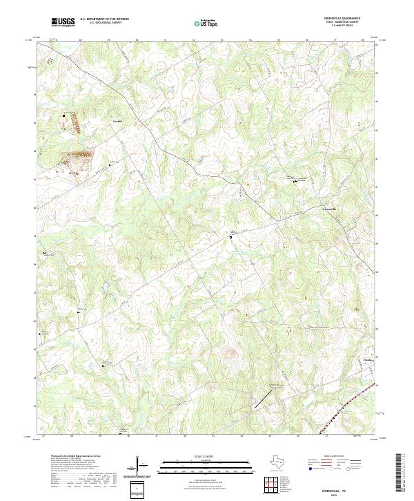 2022 Owensville2022 Print · USGSRobertson County at the start of the 2020s shows a landscape of established rural settlements and numerous family cemeteries. Researchers can trace land tracts near Owensville, Nesbitt, and the Little Mississippi Cem alongside the winding Walnut Cr.
 - 2022 Map of Bremond, 2022 Print
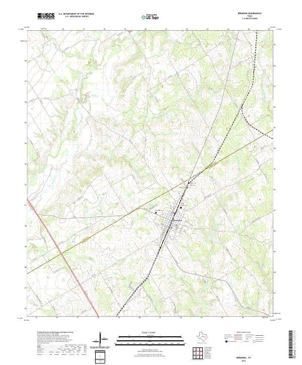 2022 Bremond2022 Print · USGSBremond and the surrounding Brazos River valley are captured in the early 2020s, showing a landscape of family farms and creek-fed pastures. Researchers can locate family landmarks along Bielamowicz Rd or trace local history at Saint Mary's Cem and Bremond Cem.
 - 2022 Map of Bryan West, 2022 Print
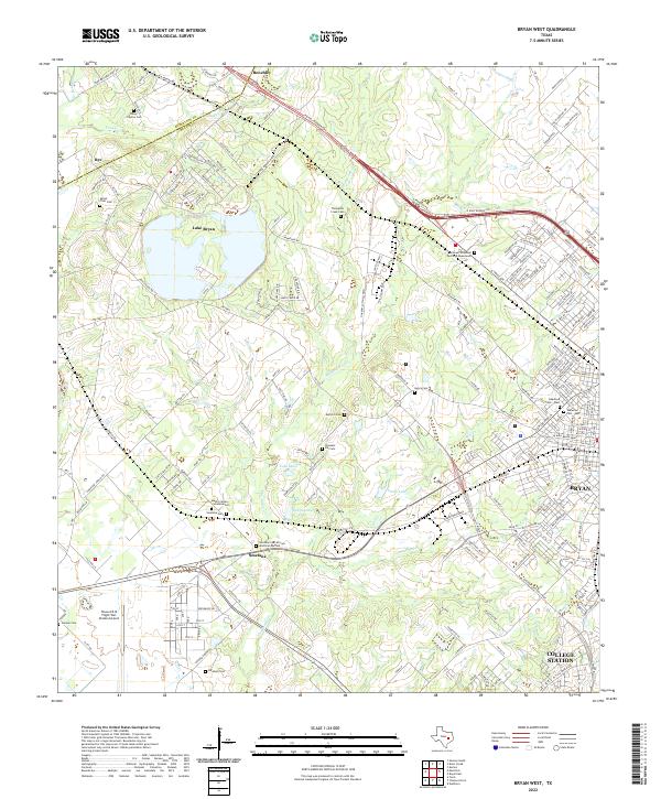 2022 Bryan West2022 Print · USGSBrazos County's western expansion meets rural history in this 2022 survey of the areas surrounding Bryan and College Station. Genealogists and historians can trace numerous family burial grounds including Mount Tiver Cem and the Smetana Cem African American Section.
 - 2022 Map of Franklin, 2022 Print
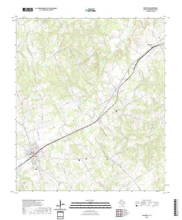 2022 Franklin2022 Print · USGSFranklin and the surrounding Robertson County countryside are documented here in the early twenty-first century. Genealogists and local historians can locate family landmarks such as New Baden Cem, Mount Pleasant Cem, and the Robertson County Courthouse.
 - 2022 Map of Bald Prairie, 2022 Print
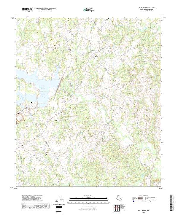 2022 Bald Prairie2022 Print · USGSThis Robertson County landscape in the early twenty-first century reveals a rural Texas community shaped by the waters of Twin Oak Reservoir. Genealogists can trace family landmarks at Bald Prairie Cem, Wesley Chapel Cem, and East Boone Prairie.
 - 2022 Map of Oletha, 2022 Print
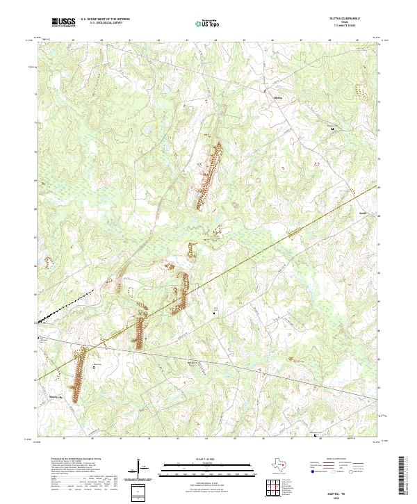 2022 Oletha2022 Print · USGSSpanning the Limestone and Robertson County line in recent years, this landscape preserves a network of rural settlements and family homesteads. Researchers can trace ancestral locations at Ferguson Cem, Thompson Cem, and the community of Oletha.
 - 2022 Map of Camp Creek Lake, 2022 Print
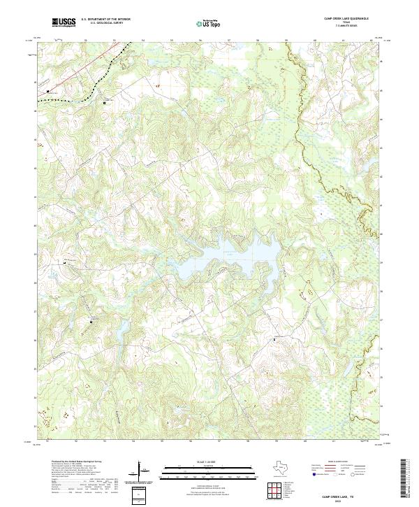 2022 Camp Creek Lake2022 Print · USGSRobertson County in the early twenty-first century is defined here by the central waters of Camp Creek Lake and the meandering Navasota River. Genealogists and local historians can locate several rural burial grounds including Elm Grove Cem, James Cem, and Hoxie Chapel Cem.
 - 2022 Map of Round Prairie, 2022 Print
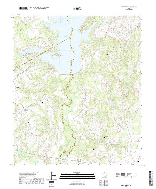 2022 Round Prairie2022 Print · USGSThe rural borderlands of Leon, Limestone, and Robertson Counties are captured here during the early twenty-first century. Genealogists can locate numerous community landmarks such as Seale - Round Prairie Cem, Little Flock Cem, and the settlement of Seale.
Showing maps 1-25 of 26
Top cities of Robertson County
Frequently asked questions
- What are the different types of historical maps available for Robertson County?
- What is the oldest map of Robertson County?
- Where can I purchase historical maps of Robertson County for my home or office?
- Where can I download high-res historical maps of Robertson County?
- Are there historical topographic maps available for Robertson County?
- Is there historical aerial imagery available for Robertson County?
- Where are historical maps of Robertson County sourced from?