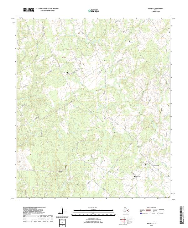
2022 Map of Wheelock
USGS Topo · Published 2022About this map
Wheelock sits at the junction of several historic routes, including S FM 46 and FM 391, serving as a primary settlement node in this part of Robertson County. The landscape is defined by a dense network of creek drainages, such as Copperas Creek and Spring Creek, which carve through the terrain and create local landmarks like Cedar Hollow. For genealogists and local historians, the map is remarkably dense with burial sites, including Cavitt Cem, Arnett Cem, and Wheelock Cem, suggesting a long-standing pattern of family-centered settlement.
Find a feature on this map
58 named features on this map. Tap any name to fly to it.
Don’t see what you’re looking for? This feature index may not catch every label — zoom into the map to look around manually.
Map Details
Editions of this 2022 Wheelock Map
This is the sole edition of this map. No revisions or reprints were ever made.
Other maps of this area

1925 · Marquez No. 4
USGS Topo · 1:48,000

1927 · Marquez
USGS Topo · 1:62,500

1930 · Marquez
USGS Topo · 1:62,500

1954 · Waco
USGS Topo · 1:250,000

1954 · Austin
USGS Topo · 1:250,000

1955 · Waco
USGS Topo · 1:250,000

1961 · Hearne North
USGS Topo · 1:24,000

1961 · Hearne South
USGS Topo · 1:24,000

1962 · Edge
USGS Topo · 1:24,000

1962 · Wheelock
USGS Topo · 1:24,000