2020s Maps of Rusk County, Texas
Explore 25 historic maps of Rusk County from the 2020s. These maps offer a rare glimpse into what life looked like during the 2020s — showing old roads, neighborhoods, homes, and landmarks that have changed or disappeared over time.
Whether you're researching your family's past, planning a metal detecting trip, or studying how Rusk County's landscape evolved across the 2020s, these high-resolution maps are a powerful tool for exploring the history of this region.
- Focus on a specific era: All maps on this page are from the 2020s, giving you a focused view of this time period.
- See what’s changed: Compare century-old streets, trails, and buildings to today's modern landscape using overlays and satellite layers.
- Research with precision: Use these maps for genealogy, historical research, land use analysis, or educational projects.
- View, download, or print: Maps are fully viewable online in high resolution, and can be downloaded or printed for your own records.
Start exploring Rusk County's history through authentic maps from the 2020s. This is your window into the past.
Rusk County, TX maps
(25)- 2022 Map of Cushing, 2022 Print
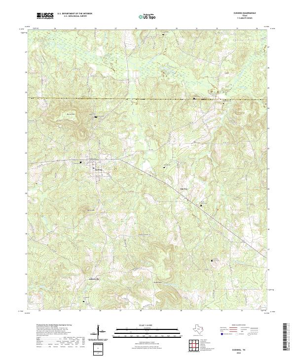 2022 Cushing2022 Print · USGSThe borderlands of Nacogdoches and Rusk Counties are captured in this recent survey of the Texas Piney Woods. Researchers can identify rural homestead patterns and burial grounds like Fuller Cem and the Old Pine Grove Cem near Cushing.
 - 2022 Map of Trawick, 2022 Print
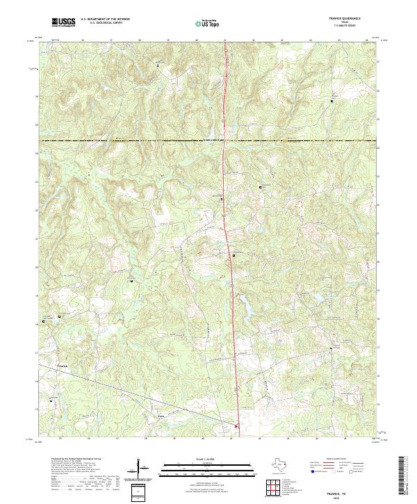 2022 Trawick2022 Print · USGSNacogdoches and Rusk counties meet in this contemporary survey of East Texas creek bottoms and rural communities. Genealogists can trace family heritage through numerous burial sites like Linn Flat Cem, Old Prospect Cem, and Clifton Cem.
 - 2022 Map of Reklaw, 2022 Print
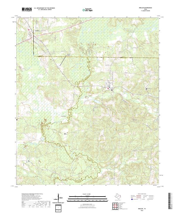 2022 Reklaw2022 Print · USGSThe rural borderlands of Rusk, Cherokee, and Nacogdoches counties come into focus in this contemporary survey of East Texas. Genealogists can trace family footprints at Sacul Cem and Looney Cem or follow the waters of Jolly Lake and the Angelina River.
 - 2022 Map of Timpson, 2022 Print
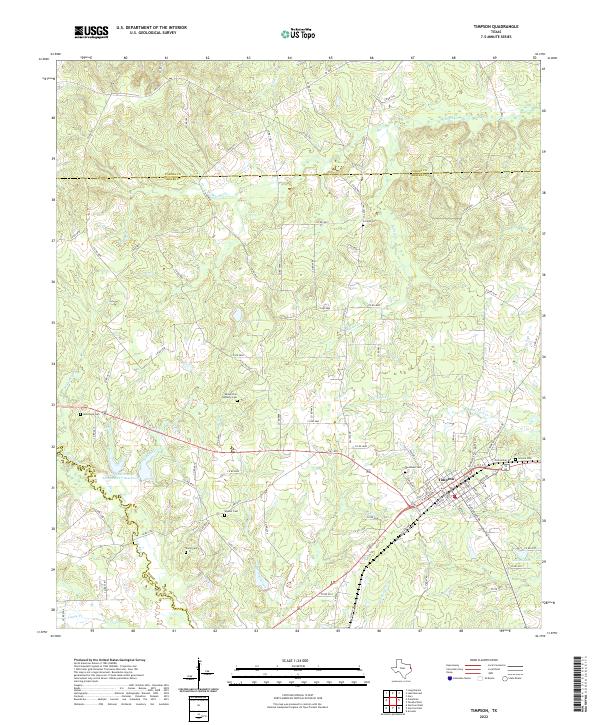 2022 Timpson2022 Print · USGSTimpson and the surrounding East Texas timberlands are detailed in this modern survey of the Shelby County countryside. Researchers can trace local heritage through numerous burial sites like Smyrna Cemetery and the waters of Flat Fork Creek.
 - 2022 Map of Garrison West, 2022 Print
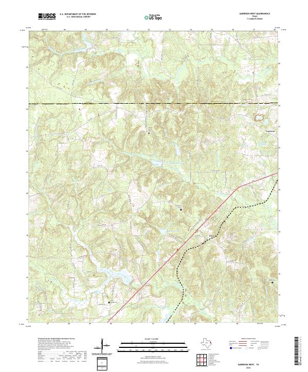 2022 Garrison West2022 Print · USGSNacogdoches and Rusk counties appear in the 2020s as a landscape of deep piney woods and historic rural outposts. Local researchers can trace family landmarks and early settlements near Garrison, Walnut Grove Cem, and Fitze.
 - 2022 Map of Laneville, 2022 Print
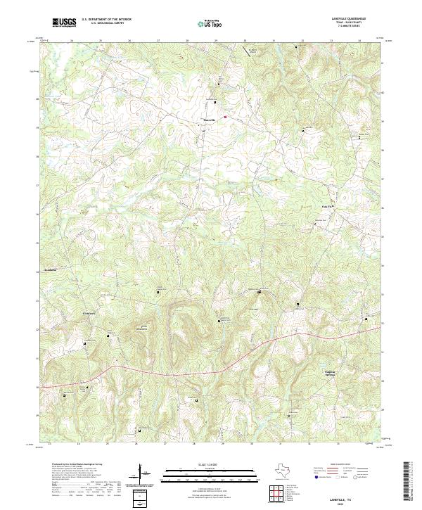 2022 Laneville2022 Print · USGSRusk County’s rural communities and family burial grounds are meticulously documented in this recent survey of the East Texas landscape. Researchers can trace local lineage across dozens of sites including the Elkins - Bagley Cem, Glenfawn, and the slopes of the Elkins Mountains.
 - 2022 Map of Caledonia, 2022 Print
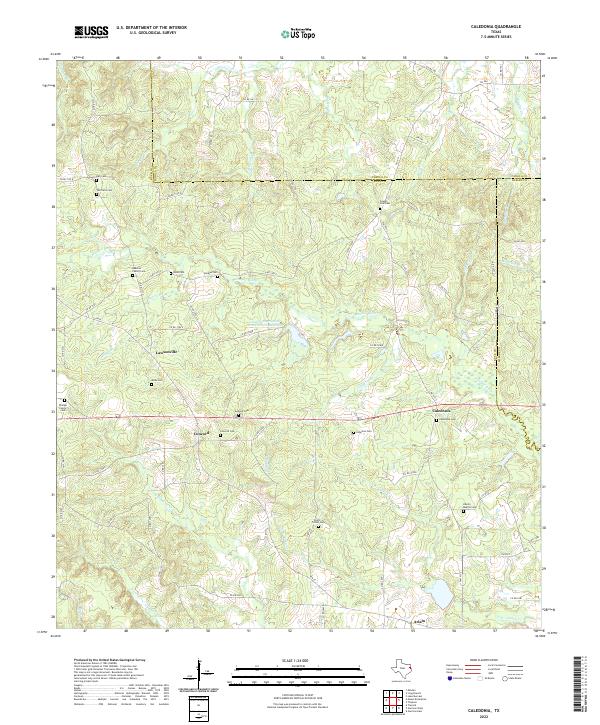 2022 Caledonia2022 Print · USGSThe tri-county borderlands of Rusk, Panola, and Shelby Counties come into focus in this recent survey of the East Texas timberlands. Genealogists can trace family heritage through numerous burial sites like Greeley Cem, Moss Cem, and Beavers Family Cem.
 - 2022 Map of Garrison East, 2022 Print
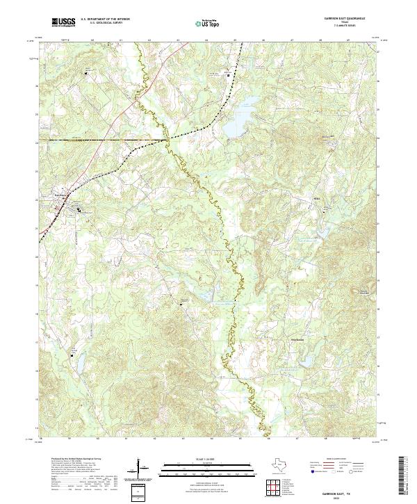 2022 Garrison East2022 Print · USGSShelby and Nacogdoches counties appear here in the early 2020s, showing a landscape shaped by the Attoyac River and the quiet growth of Garrison. Genealogists and local historians can trace family plots at Mount Olive Cem, Blair Cem, and Cold Springs Cem.
 - 2022 Map of Mount Enterprise, 2022 Print
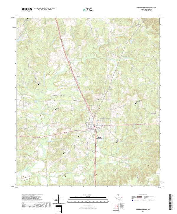 2022 Mount Enterprise2022 Print · USGSMount Enterprise and the rural stretches of Rusk County are shown here in the early 2020s, highlighting a landscape rich in family history. Genealogists can trace lineage through numerous sites like Barker Family Cemetery, Talley Cem, and Shiloh Cem.
 - 2022 Map of New Salem, 2022 Print
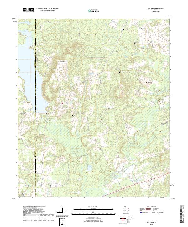 2022 New Salem2022 Print · USGSThe Rusk and Cherokee county line comes alive in this modern survey of East Texas rural life. Genealogists can trace family connections through numerous sites like Fairview Cem, Anadarko Cem, and the waters of Lake Striker.
 - 2022 Map of Kilgore SW, 2022 Print
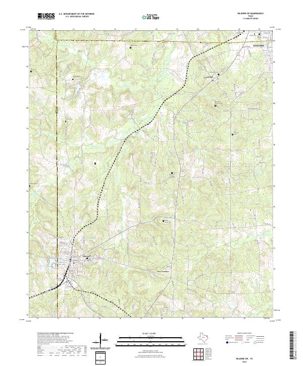 2022 Kilgore SW2022 Print · USGSThe transition between Rusk and Smith counties in the 2020s shows a landscape deeply rooted in community history. Genealogists can trace family landmarks like the Leveretts Chapel Family Cem, Rocky Mount Cem, and the streets of Overton.
 - 2022 Map of Harris Chapel, 2022 Print
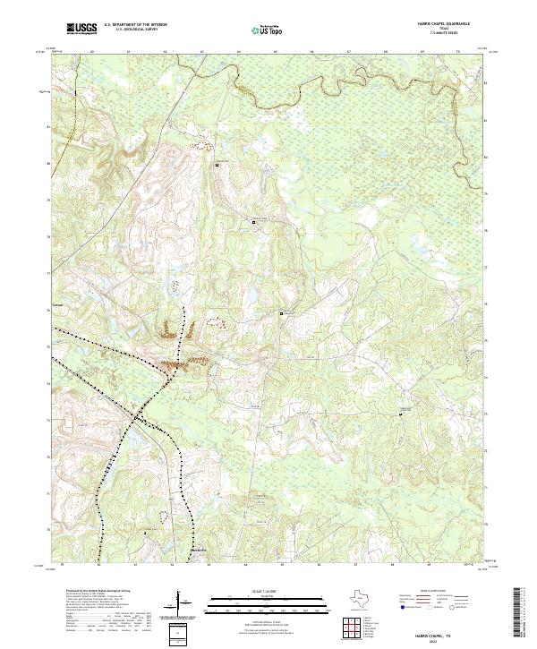 2022 Harris Chapel2022 Print · USGSPanola County's riverbottoms and rural uplands are shown in great detail during the early 2020s. Genealogists can trace family heritage through local landmarks like Harris Chapel Cem, Conner Cem, and the wetlands of Cypress Slough.
 - 2022 Map of Church Hill, 2022 Print
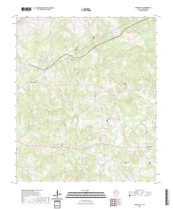 2022 Church Hill2022 Print · USGSRusk County in the modern era maintains its quiet character of small settlements and family lands. Genealogists can trace local lineages through numerous burial sites like Strong Cem, Antioch Cem, and the Chapman Family Cem.
 - 2022 Map of Darco, 2022 Print
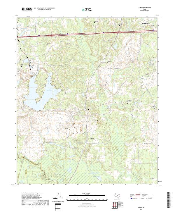 2022 Darco2022 Print · USGSEast Texas rural life and its burial traditions are documented here in the early twenty-first century. Genealogists can locate family landmarks like the Ewing Chapel Hall Cem, Mount Zion Cem, and the waters of Roseborough Springs.
 - 2022 Map of Gum Springs, 2022 Print
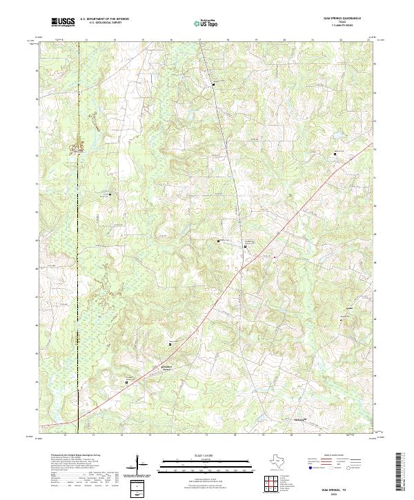 2022 Gum Springs2022 Print · USGSEast Texas ranch lands and creek bottoms are captured here along the Rusk and Cherokee county line in the early 2020s. Genealogists can trace family heritage at Goodsprings Duncan Cem, Waggoner Cem, and the historic settlement of Pleasant Grove.
 - 2022 Map of Kilgore SE, 2022 Print
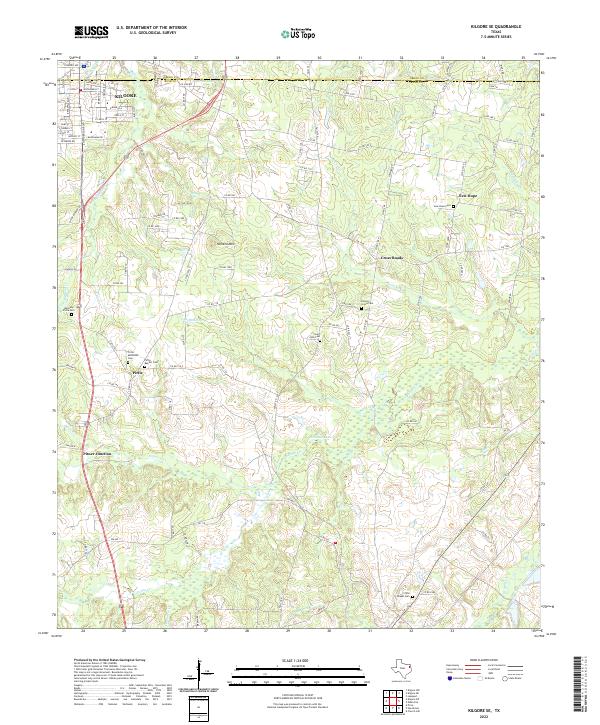 2022 Kilgore SE2022 Print · USGSThe rural outskirts of Kilgore and the Gregg-Rusk county line are detailed here in this contemporary look at East Texas. Genealogists and historians can trace family locations near Harmony Pirtle Cemetery, Crims Chapel Cemetery, and New Hope.
 - 2022 Map of Elderville, 2022 Print
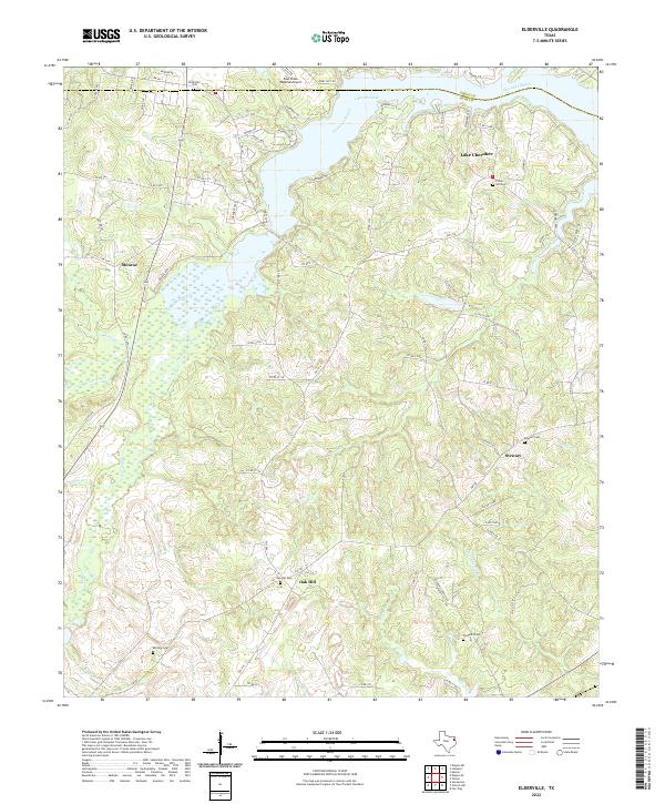 2022 Elderville2022 Print · USGSThe border of Gregg and Rusk counties is defined by the massive waters of Lake Cherokee in this contemporary study. Researchers can locate long-standing community landmarks like the Elderville Cem, Oak Hill Cem, and the rural crossroads of Stewart.
 - 2022 Map of Henderson, 2022 Print
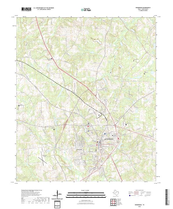 2022 Henderson2022 Print · USGSHenderson and its surrounding Rusk County landscape are captured here in the early twenty-first century. Genealogists and historians can trace family locations at the Old Henderson City Cem, New Hope Cem, and the historic Rusk County Courthouse.
 - 2022 Map of Fair Play, 2022 Print
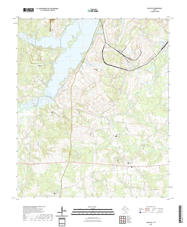 2022 Fair Play2022 Print · USGSPanola and Rusk Counties are captured here in the early 2020s, showing a landscape defined by Martin Lake and the settlement of Liberty. Researchers can trace local heritage through numerous burial sites like Sugar Hill Cemetery and Harris Cemetery.
 - 2022 Map of Minden, 2022 Print
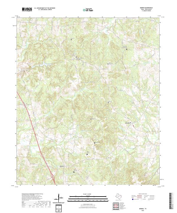 2022 Minden2022 Print · USGSEastern Rusk County is shown here in the early twenty-first century, preserving a landscape of small settlements and family burial grounds. Researchers can trace local lineages through the Maple Grove Cem, Brachfield, and Zion Hill Cem.
 - 2022 Map of Berryhill Creek, 2022 Print
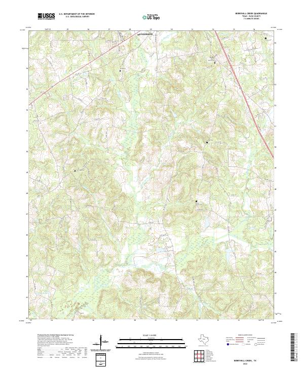 2022 Berryhill Creek2022 Print · USGSRusk County at the start of the 2020s shows a landscape deeply tied to the Angelina River and its many creek branches. Genealogists can trace family roots through several rural sites, including Bethel Cem, Davis Cem, and Union Grove Cem.
 - 2022 Map of Easton, 2022 Print
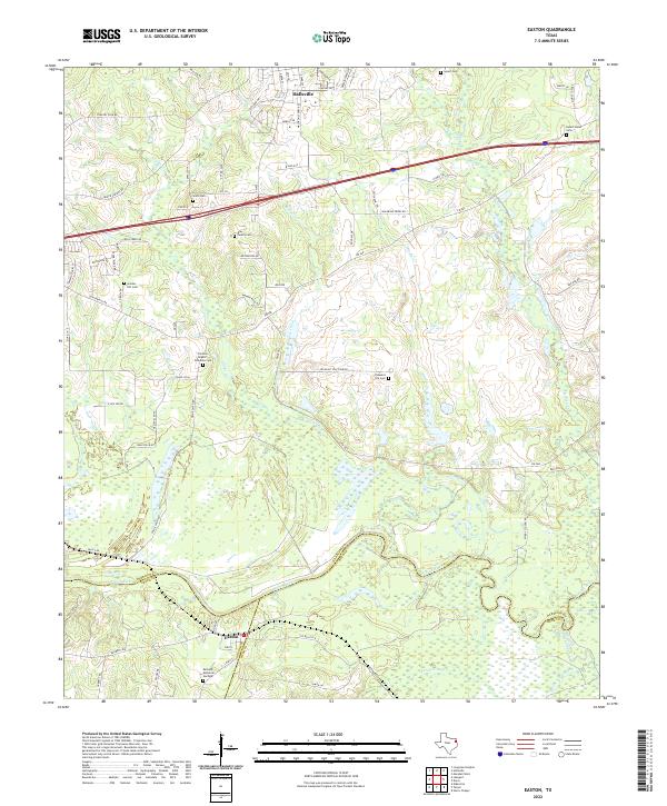 2022 Easton2022 Print · USGSThe Sabine River basin near Easton is shown in the early 2020s, where river bottomlands meet the growing communities of East Texas. Researchers can locate numerous local landmarks like Sypert Cem, Golden Hill Cem, and the crossing at Waldrons Ferry Rd.
 - 2022 Map of Long Branch, 2022 Print
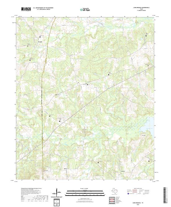 2022 Long Branch2022 Print · USGSThe Rusk and Panola county line in East Texas comes alive in this survey of rural settlements and family cemeteries. Genealogists can trace deep roots at the Long Branch Cem, Old Bethel Cem, and the church sites near Pinehill.
 - 2022 Map of Price, 2022 Print
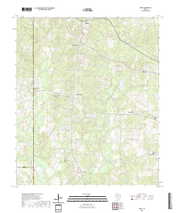 2022 Price2022 Print · USGSThis Rusk County landscape south of Kilgore reflects the enduring settlement patterns of the East Texas oil region. Researchers can trace historic family burial sites at Asbury Cem and Mount Hope Cem or explore the road networks connecting Turnertown, Joinerville, and Price.
 - 2022 Map of Tatum, 2022 Print
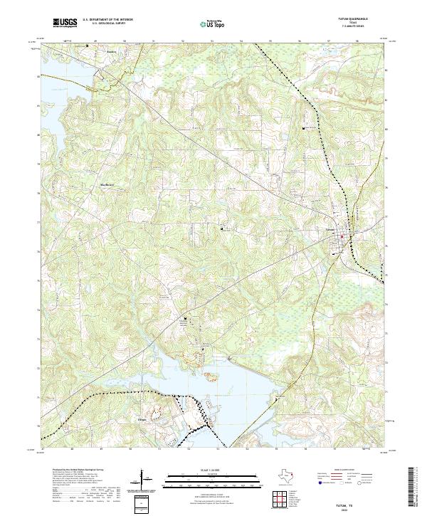 2022 Tatum2022 Print · USGSThe tri-county borderlands of Rusk, Panola, and Gregg Counties come into focus in this recent survey of East Texas. Genealogists and local historians can trace family locations near Tatum, Easton, and several community landmarks like Harmony Hill Cem and Martin Lake.
End of results
Showing maps 1-25 of 25
Top cities of Rusk County
- Henderson historical maps
- Overton historical maps
- New London historical maps
- Mount Enterprise historical maps
Frequently asked questions
- What are the different types of historical maps available for Rusk County?
- What is the oldest map of Rusk County?
- Where can I purchase historical maps of Rusk County for my home or office?
- Where can I download high-res historical maps of Rusk County?
- Are there historical topographic maps available for Rusk County?
- Is there historical aerial imagery available for Rusk County?
- Where are historical maps of Rusk County sourced from?