2010s Maps of Rusk County, Texas
Explore 100 historic maps of Rusk County from the 2010s. These maps offer a rare glimpse into what life looked like during the 2010s — showing old roads, neighborhoods, homes, and landmarks that have changed or disappeared over time.
Whether you're researching your family's past, planning a metal detecting trip, or studying how Rusk County's landscape evolved across the 2010s, these high-resolution maps are a powerful tool for exploring the history of this region.
- Focus on a specific era: All maps on this page are from the 2010s, giving you a focused view of this time period.
- See what’s changed: Compare century-old streets, trails, and buildings to today's modern landscape using overlays and satellite layers.
- Research with precision: Use these maps for genealogy, historical research, land use analysis, or educational projects.
- View, download, or print: Maps are fully viewable online in high resolution, and can be downloaded or printed for your own records.
Start exploring Rusk County's history through authentic maps from the 2010s. This is your window into the past.
Rusk County, TX maps
(100)- 2010 Map of Gum Springs, 2010 Print
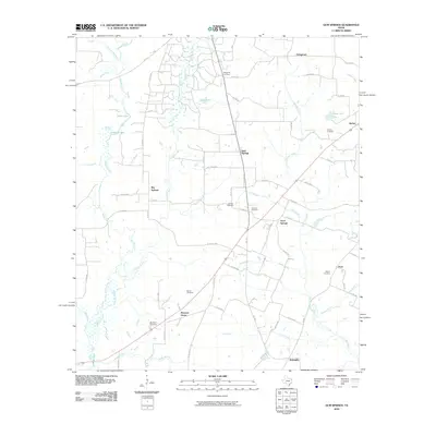 2010 Gum Springs2010 Print · USGSRusk County communities and family cemeteries are documented here during the early twenty-first century. Genealogists and local historians can trace family ties at Waggoner Cemetery and Duncan Cemetery or locate old settlements like Good Springs and Pone.
 - 2010 Map of Laneville, 2010 Print
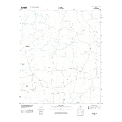 2010 Laneville2010 Print · USGSEast Texas at the turn of the decade reveals a landscape of enduring rural communities and family-named landmarks. Genealogists and historians can trace the locations of numerous burial grounds such as Shiloh Cemetery and settlements like Glenfawn and Anadarko.
 - 2010 Map of Fair Play, 2010 Print
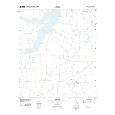 2010 Fair Play2010 Print · USGSEastern Rusk County in the early twenty-first century is a landscape of creek bottoms and quiet rural settlements. Genealogists and local researchers can trace family landmarks and burial sites like Sugar Hill Cemetery, Williams Cemetery, and the community of Fair Play.
 - 2010 Map of Minden, 2010 Print
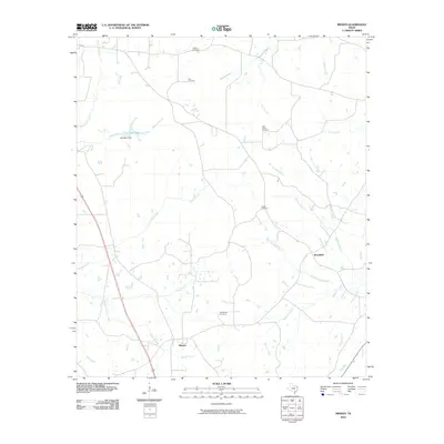 2010 Minden2010 Print · USGSMinden and Brachfield sit within a network of Rusk County creeks and bayous during the early 2000s. Genealogists and historians can trace numerous family burial sites, including Hunt Cemetery, Welch Cemetery, and the Old Minden Cemetery.
 - 2010 Map of Garrison East, 2010 Print
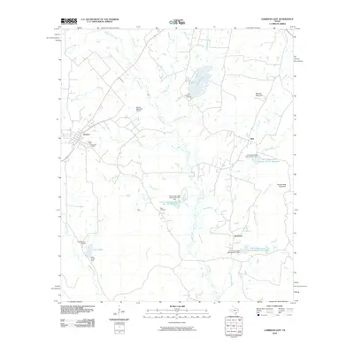 2010 Garrison East2010 Print · USGSEast Texas ranching and timber country is well-documented here just after the turn of the millennium. Genealogists and local historians can locate legacy sites like Greenwood Cemetery and Moss Cemetery, or trace the winding course of the Attoyac River through Stockman.
 - 2010 Map of Tatum, 2010 Print
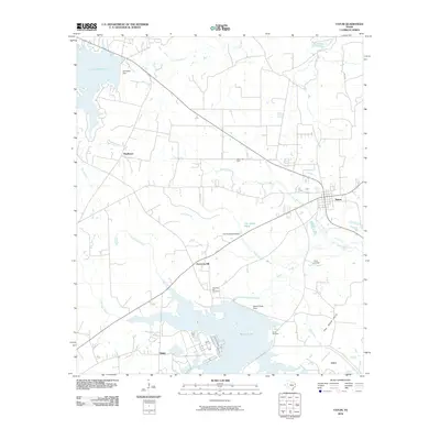 2010 Tatum2010 Print · USGSEast Texas at the end of the first decade of the 2000s shows a landscape shaped by large reservoirs and energy production near Tatum. Researchers can trace local lineage and land use through features like Harmony Hill Cemetery and the Tatum Gas Field.
 - 2010 Map of Kilgore SE, 2010 Print
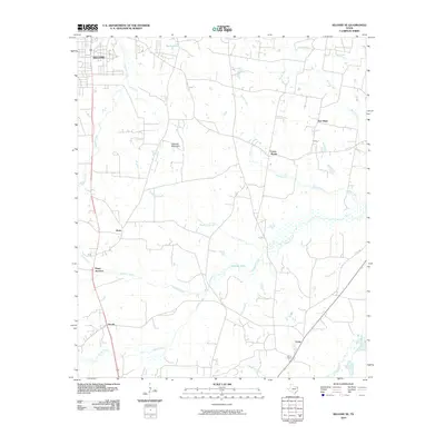 2010 Kilgore SE2010 Print · USGSSoutheast of Kilgore in the early twenty-first century, this East Texas landscape reveals a complex network of bayous and rural junctions. Genealogists and local historians can trace family-named locations such as Pitner Junction, Crims Chapel, and the community of New Hope.
 - 2010 Map of Caledonia, 2010 Print
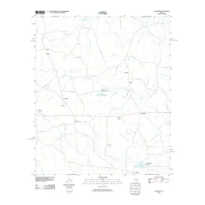 2010 Caledonia2010 Print · USGSEast Texas at the turn of the decade reveals a landscape of enduring rural communities and family-named landmarks. Genealogists can trace deep local roots through Miles Cemetery, Langston-Spence Cemetery, and the riverfront settlement of Caledonia.
 - 2010 Map of Reklaw, 2010 Print
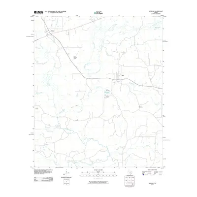 2010 Reklaw2010 Print · USGSNacogdoches County at the start of the decade reveals a landscape woven together by the Angelina River and its many creek crossings. Local historians can trace family roots through Looney Cemetery, Ward Cemetery, and the old settlements of Reklaw and Sacul.
 - 2010 Map of Elderville, 2010 Print
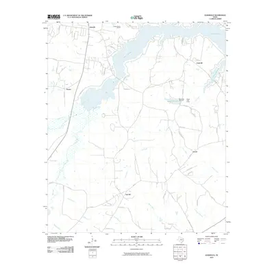 2010 Elderville2010 Print · USGSRusk County at the start of the decade reveals a landscape where Lake Cherokee and its many feeder creeks shape the local geography. Researchers can trace rural settlement patterns around Elderville, Stewart, and the aviation footprint of the Gregg County Airport.
 - 2010 Map of Henderson, 2010 Print
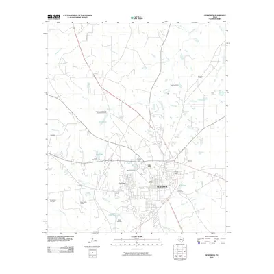 2010 Henderson2010 Print · USGSHenderson and its surrounding Rusk County suburbs are shown in detail as they appeared in the early twenty-first century. Family historians and local researchers can trace cemetery locations like Thomas Cemetery or follow the path of Shawnee Creek through the city's Lake View district.
 - 2010 Map of Long Branch, 2010 Print
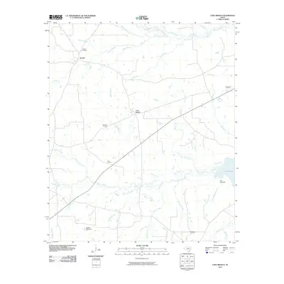 2010 Long Branch2010 Print · USGSRusk County settlement and woodland topography are detailed in this early twenty-first-century survey of the Piney Woods region. Genealogists can trace local roots at Buckner and Roquemore Cemetery, or locate family landmarks near Greens Mountain and Lake Murvaul.
 - 2010 Map of Timpson, 2010 Print
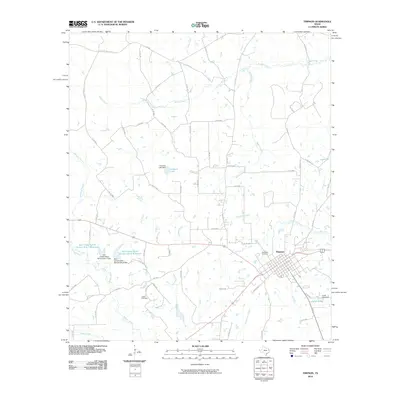 2010 Timpson2010 Print · USGSThe East Texas town of Timpson is captured at the start of the decade, surrounded by a complex web of rural roads and creek drainages. Researchers can trace local family lineages at Woodlawn Cemetery and Dixon Cemetery or locate landmarks like Hudman Lake.
 - 2010 Map of Cushing, 2010 Print
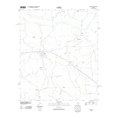 2010 Cushing2010 Print · USGSNacogdoches County at the start of the 2010s reveals a landscape of scattered rural communities and timbered heights. Researchers can trace family history through sites like Kipp Cemetery, Looneyville, and the landmark Cushing Lookout Tower.
 - 2010 Map of Trawick, 2010 Print
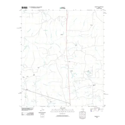 2010 Trawick2010 Print · USGSEastern Nacogdoches County is shown here in the 2010s, defined by the rural intersections of the Trawick Gas Field and the community of Caro. Researchers can locate several historic burial grounds including Old Prospect Cemetery and Hall Springs Cemetery among the many forks of Beech Creek.
 - 2010 Map of Harris Chapel, 2010 Print
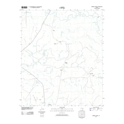 2010 Harris Chapel2010 Print · USGSPanola County, Texas, is captured here in the early twenty-first century as a landscape of river bottoms and rising hills. Researchers can trace family history through Watson Cemetery and Conner Cemetery or locate landmarks like the Beckville Lookout and Harris Chapel.
 - 2010 Map of Church Hill, 2010 Print
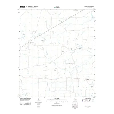 2010 Church Hill2010 Print · USGSThe Rusk County countryside near the turn of the decade is mapped here, showing a landscape defined by small settlements and numerous family burial grounds. Genealogists can trace local history through the Strong Cemetery, Chapman Cemetery, and Pryor Cemetery.
 - 2010 Map of Berryhill Creek, 2010 Print
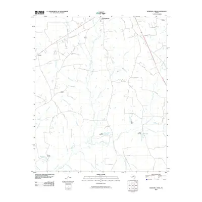 2010 Berryhill Creek2010 Print · USGSRusk County at the start of the decade shows a landscape of East Texas creek bottoms and family-named reservoirs near the town of Henderson. Researchers can trace old family burial grounds like Lockridge Cemetery and Crow Cemetery or locate landmarks like Hickey and the Angelina River.
 - 2010 Map of Garrison West, 2010 Print
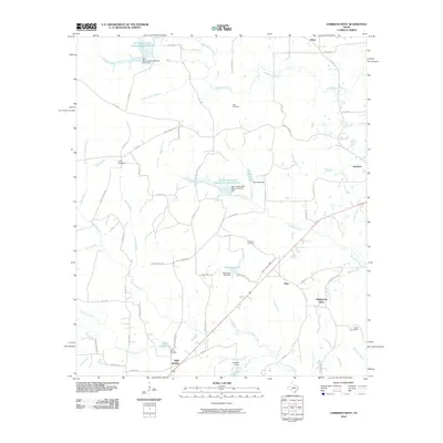 2010 Garrison West2010 Print · USGSNacogdoches County at the turn of the decade reveals a landscape of rural communities and vital water conservation sites. Genealogists and local historians can locate family landmarks like Holly Springs Cemetery, Nalls Cemetery, and the community of Fitze.
 - 2010 Map of Easton, 2010 Print
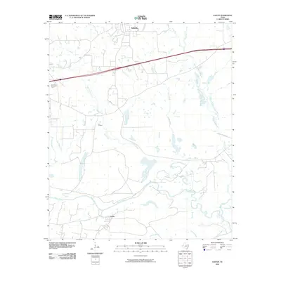 2010 Easton2010 Print · USGSHarrison County at the turn of the decade shows a landscape shaped by the Sabine River and the expanding footprints of Hallsville and Easton. Researchers can trace old family landmarks like Scott Cemetery or the historic path of Camden Shreveport Rd.
 - 2010 Map of Kilgore SW, 2010 Print
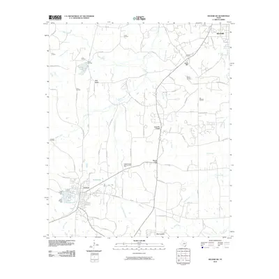 2010 Kilgore SW2010 Print · USGSOverton and the rural fringes of Kilgore are captured here at the start of the decade, showing a landscape defined by small communities and family-named landmarks. Trace ancestral connections at Henry Cemetery, Sexton City, or the Kilgore College Demonstration Farm.
 - 2010 Map of Darco, 2010 Print
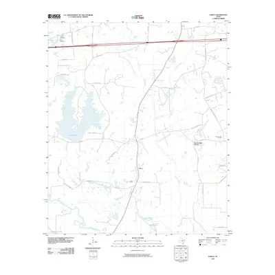 2010 Darco2010 Print · USGSHarrison County at the start of the 2010s reveals a landscape where industrial mining and rural settlements meet along the Sabine River. You can trace local family history and industry through sites like the Darco Mine, Roseborough Cemetery, and Roseborough Springs.
 - 2010 Map of New Salem, 2010 Print
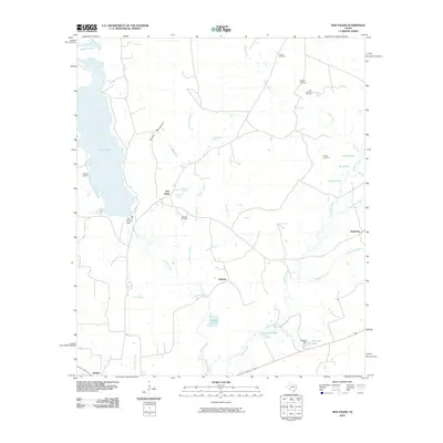 2010 New Salem2010 Print · USGSThe Angelina River basin and the Rusk County countryside come to life in this recent survey, showcasing a landscape of springs and small settlements. Genealogists can locate several family-named burial grounds like Medford Cemetery and Vaughn Cemetery near New Salem.
 - 2010 Map of Mount Enterprise, 2010 Print
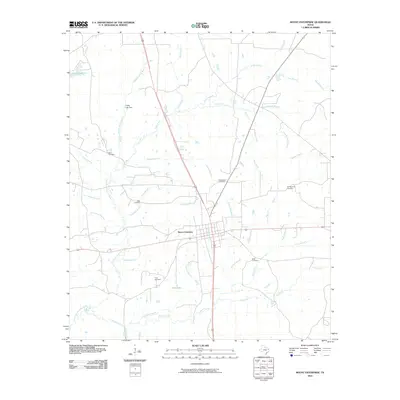 2010 Mount Enterprise2010 Print · USGSMount Enterprise and its surrounding Rusk County countryside are shown here at the start of the 2010s. Researchers can locate numerous family burial sites and rural landmarks, including Bane Cemetery, King Cemetery, and the Griffin Lake Dam.
 - 2010 Map of Price, 2010 Print
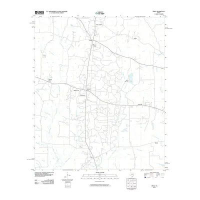 2010 Price2010 Print · USGSRusk County at the start of the 2010s shows a landscape of established rural settlements and winding East Texas creeks. Researchers can trace family history through Asbury Cemetery and locate historic hubs like Selman City Post Office and Joinerville.
Showing maps 1-25 of 100
Top cities of Rusk County
- Henderson historical maps
- Overton historical maps
- New London historical maps
- Mount Enterprise historical maps
Frequently asked questions
- What are the different types of historical maps available for Rusk County?
- What is the oldest map of Rusk County?
- Where can I purchase historical maps of Rusk County for my home or office?
- Where can I download high-res historical maps of Rusk County?
- Are there historical topographic maps available for Rusk County?
- Is there historical aerial imagery available for Rusk County?
- Where are historical maps of Rusk County sourced from?