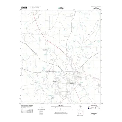
2010 Map of Henderson
USGS Topo · Published 2010About this map
Henderson serves as the focal point of this Rusk County landscape, showing the city's residential expansion alongside established landmarks like the Old City Cemetery and Lakewood Memorial Park. The geography is defined by a network of small creeks including Mill Creek, Bromley Creek, and Shawnee Creek, which have been dammed to create numerous local reservoirs such as Shaw Lake, Willow Lake, and Wiley Webb Lake. These water features, often named for local families or ventures, illustrate the area's twentieth-century hydraulic development for recreation and local industry.
Find a feature on this map
35 named features on this map. Tap any name to fly to it.
Don’t see what you’re looking for? This feature index may not catch every label — zoom into the map to look around manually.
Map Details
Editions of this 2010 Henderson Map
This is the sole edition of this map. No revisions or reprints were ever made.
Other maps of this area

1935 · Henderson
USGS Topo · 1:48,000

1936 · Kilgore
USGS Topo · 1:48,000

1939 · Henderson
USGS Topo · 1:62,500

1940 · Kilgore
USGS Topo · 1:62,500

1956 · Tyler
USGS Topo · 1:250,000

1958 · Tatum
USGS Topo · 1:62,500

1960 · Minden
USGS Topo · 1:62,500
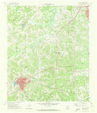
1971 · Kilgore SW
USGS Topo · 1:24,000
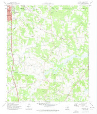
1971 · Kilgore SE
USGS Topo · 1:24,000

1973 · Henderson
USGS Topo · 1:24,000