2010s Maps of San Patricio County, Texas
Explore 96 historic maps of San Patricio County from the 2010s. These maps offer a rare glimpse into what life looked like during the 2010s — showing old roads, neighborhoods, homes, and landmarks that have changed or disappeared over time.
Whether you're researching your family's past, planning a metal detecting trip, or studying how San Patricio County's landscape evolved across the 2010s, these high-resolution maps are a powerful tool for exploring the history of this region.
- Focus on a specific era: All maps on this page are from the 2010s, giving you a focused view of this time period.
- See what’s changed: Compare century-old streets, trails, and buildings to today's modern landscape using overlays and satellite layers.
- Research with precision: Use these maps for genealogy, historical research, land use analysis, or educational projects.
- View, download, or print: Maps are fully viewable online in high resolution, and can be downloaded or printed for your own records.
Start exploring San Patricio County's history through authentic maps from the 2010s. This is your window into the past.
San Patricio County, TX maps
(96)- 2010 Map of Taft, 2010 Print
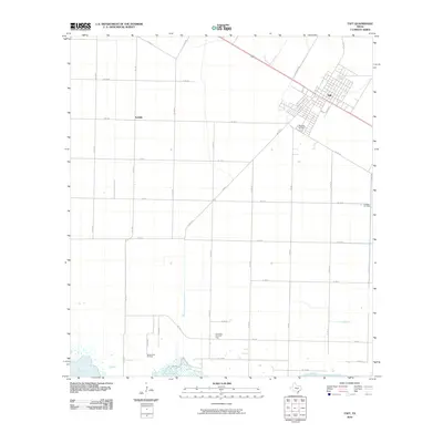 2010 Taft2010 Print · USGSThe coastal plains near Corpus Christi are shown in the early twenty-first century, highlighting the intersection of farming and industry. Researchers can trace the White Point Oil Field, locate Bellevue Cemetery, and see the layout of Taft and Sodville.
 - 2010 Map of Sinton East, 2010 Print
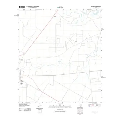 2010 Sinton East2010 Print · USGSSinton and its surrounding oil fields are captured here at the start of the decade, showing the heavy industrial footprint of coastal Texas. Researchers can trace the layout of the Plymouth Refinery and residential pockets like Rancho Chico and Ewelder.
 - 2010 Map of Woodsboro, 2010 Print
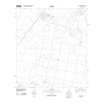 2010 Woodsboro2010 Print · USGSWoodsboro and the surrounding Refugio County coastal plains are captured here at the start of the 2010s. Researchers can trace family sites at Saint Bernard Cemetery or locate industrial landmarks like the La Rosa Oil Field and Bonnie View Oil Field.
 - 2010 Map of Cranell, 2010 Print
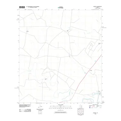 2010 Cranell2010 Print · USGSCoastal Texas ranching and energy production are in focus during this 2010 survey of Refugio County. Genealogists and land historians can trace family holdings at Roche Ranch and Rooke Ranch or locate the Encino Oil and Gas Field.
 - 2010 Map of West Sinton, 2010 Print
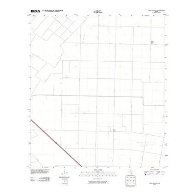 2010 West Sinton2010 Print · USGSSan Patricio County settlements are captured here in the early twenty-first century as the rural landscape remained largely agricultural. Genealogy researchers can locate family properties near West Sinton, West Saint Paul, and along Chiltipin Creek.
 - 2010 Map of Sandia, 2010 Print
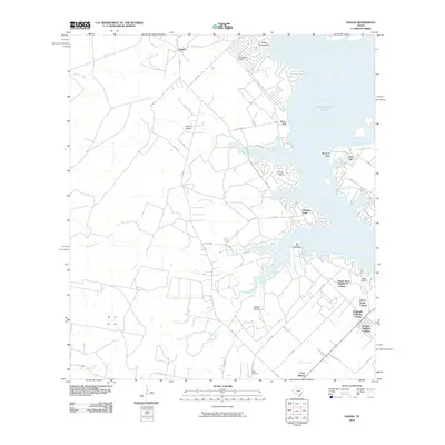 2010 Sandia2010 Print · USGSLake Corpus Christi and the surrounding South Texas ranch lands are captured here in a period of growing shoreline development. Genealogists and local historians can trace family-named sites like Wade Cemetery and the historic Old Casa Blanca Fort.
 - 2010 Map of Bullshead Creek, 2010 Print
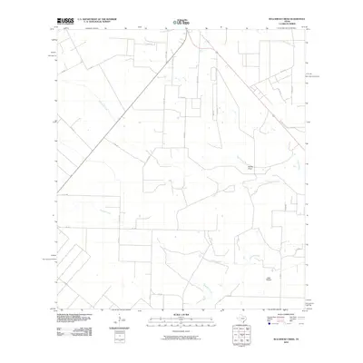 2010 Bullshead Creek2010 Print · USGSSan Patricio County at the turn of the decade showcases a rural landscape defined by ranch roads and seasonal drainages. Researchers can trace land boundaries along Bullshead Creek and locate property markers near Dale Hollow and Papalote Creek.
 - 2010 Map of Sinton West, 2010 Print
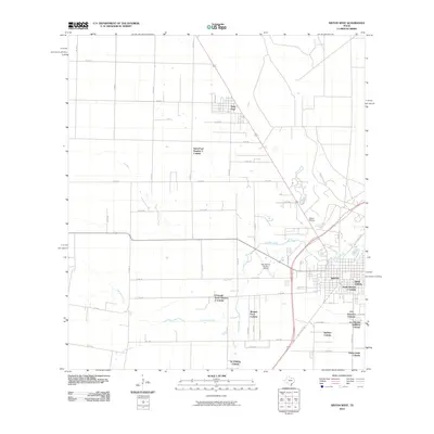 2010 Sinton West2010 Print · USGSSan Patricio County at the start of the 2010s reveals a unique landscape of residential growth and agricultural traditions. Researchers can trace the development of numerous colonias such as Del Sol Colonia and Morgan Farm Colonia near Sinton.
 - 2010 Map of Gregory, 2010 Print
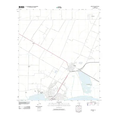 2010 Gregory2010 Print · USGSThe coastal area north of Corpus Christi is shown here during a period of industrial and residential expansion. Genealogists and local historians can trace family-named roads and community sites from Gregory and Portland to the San Patricio Memorial Gardens.
 - 2010 Map of Port Ingleside, 2010 Print
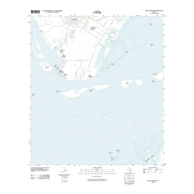 2010 Port Ingleside2010 Print · USGSPort Ingleside and the surrounding colonias are captured here during a period of coastal development along the northern edge of Corpus Christi Bay. Genealogists and historians can trace the layouts of Old Ingleside Colonia and Ingleside On-the-Bay or locate landmarks like McGloins Bluff and Ransom Island.
 - 2010 Map of Mathis, 2010 Print
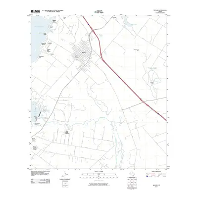 2010 Mathis2010 Print · USGSMathis and the shores of Lake Corpus Christi are captured here during a period of steady residential growth. Researchers can trace the development of numerous colonias such as Hidden Acres and Sandia Gardens, or locate family sites in Descanso Eterno Cemetery.
 - 2010 Map of Odem, 2010 Print
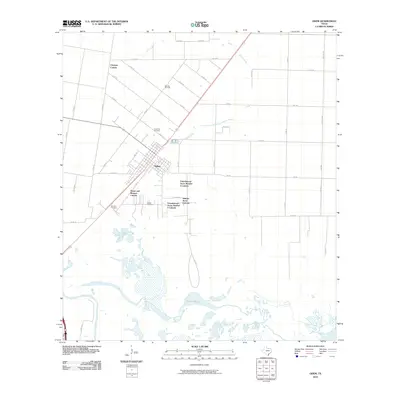 2010 Odem2010 Print · USGSOdem and its surrounding colonias are captured here in the early twenty-first century as the landscape transitioned between agricultural use and residential growth. Genealogists and local historians can locate Evergreen Cemetery, San Pedro Cemetery, and the Spartan Oil Field among the coastal wetlands.
 - 2010 Map of Papalote, 2010 Print
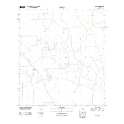 2010 Papalote2010 Print · USGSPapalote and the surrounding Bee County ranchlands are documented here in the early twenty-first century as a landscape of winding creeks and energy production. Researchers can trace the layout of the Papalote Oil Field or follow the paths of the Aransas River and Bullhead Creek.
 - 2010 Map of Dinero, 2010 Print
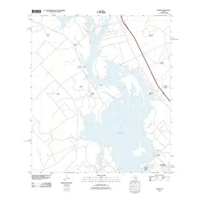 2010 Dinero2010 Print · USGSThe South Texas shoreline of Lake Corpus Christi is captured here in the early twenty-first century as modern developments began to flank the water. Researchers can locate family landmarks like Wright Cemetery, Dinero, and Mount Lucas.
 - 2010 Map of Tynan, 2010 Print
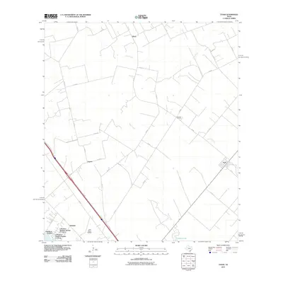 2010 Tynan2010 Print · USGSSouth Texas agricultural lands and colonia developments are documented here in the early twenty-first century. Genealogists and local historians can trace family-named sites like Waldheim Cemetery, Argenta, and the distinct residential sectors of Lakeshore Gardens.
 - 2010 Map of Bayside, 2010 Print
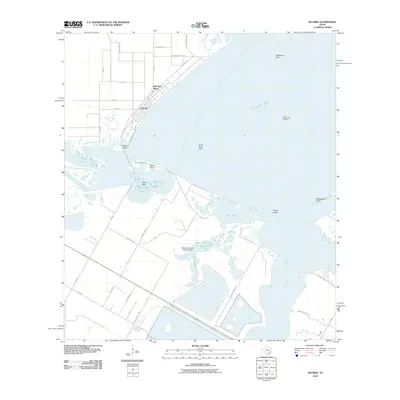 2010 Bayside2010 Print · USGSCoastal Refugio County at the start of the 2010s shows a landscape where maritime ecology and industrial footprints meet. Researchers can trace the waterfront of Bayside and Old Saint Marys while locating the South Copano Bay Oil Field and Snellbank Reef.
 - 2010 Map of Aransas Pass, 2010 Print
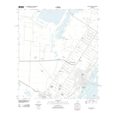 2010 Aransas Pass2010 Print · USGSThe Texas Gulf Coast near Aransas Pass and Ingleside reveals a complex mix of maritime industry and rural residential colonias. Modern researchers can trace local lineage through Prairie View Cemetery or locate old fishing hubs like Redfish Camp.
 - 2010 Map of Rincon Bend, 2010 Print
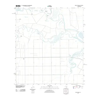 2010 Rincon Bend2010 Print · USGSThe coastal plains of San Patricio County are shown here in the early twenty-first century, defined by the winding Aransas River and local energy production. Researchers can trace land use through the Plymouth Gas and Oil Field or locate rural landmarks like Mare Trap Windmill and Palomo Tank.
 - 2010 Map of Edroy, 2010 Print
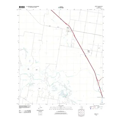 2010 Edroy2010 Print · USGSCoastal Texas near Corpus Christi is captured here in the early twenty-first century, showing a landscape shaped by the Nueces River and the energy industry. Researchers can trace rural lineages at the Edroy Cemetery or locate old operations in the Riverside Oil Field and Odem Oil Field.
 - 2010 Map of Portland, 2010 Print
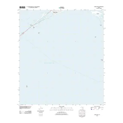 2010 Portland2010 Print · USGSPortland and the northern shores of Corpus Christi Bay are shown here during the first decade of the millennium. Nautical researchers and local historians can trace the shoreline from Gunderland Marina past Indian Point to the various oyster reefs like Long Reef.
 - 2010 Map of Robstown, 2010 Print
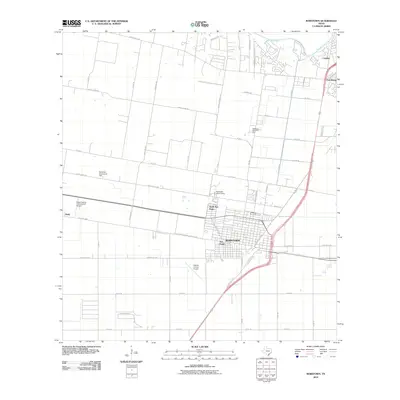 2010 Robstown2010 Print · USGSTexas coastal plains agriculture meets modern aviation in this early 21st-century look at the Robstown area. Trace local development through the Robstown Labor Camp, the Nueces County Airport, and the varied neighborhoods of San Pedro and Calallen.
 - 2010 Map of San Patricio, 2010 Print
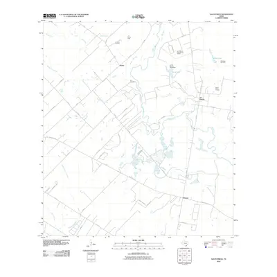 2010 San Patricio2010 Print · USGSCoastal bend ranching and early Texas history meet along the Nueces River in this detailed 2010 survey. Researchers can locate the Old San Patricio Cemetery, trace family roots at the James McGloin Homestead, and find the site of Fort Lipantitlan near Bluntzer.
 - 2010 Map of Annaville, 2010 Print
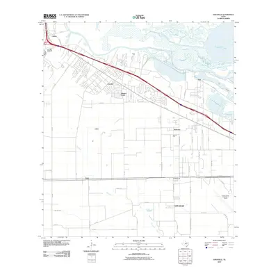 2010 Annaville2010 Print · USGSCoastal Texas near the Nueces River delta shows its mix of residential growth and industrial power at the turn of the decade. Researchers can trace the development of Annaville and Arlington Heights alongside older landmarks like the Saxet Oil Field and the community of Violet.
 - 2010 Map of Corpus Christi, 2010 Print
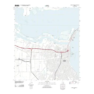 2010 Corpus Christi2010 Print · USGSCorpus Christi and its industrial waterfront are captured in the early 2000s as the city expanded around the bay. Researchers can trace deep local history through numerous sites including Old Bayview Cemetery, Rosita Ranch, and Flour Bluff Junction.
 - 2013 Map of West Sinton, 2013 Print
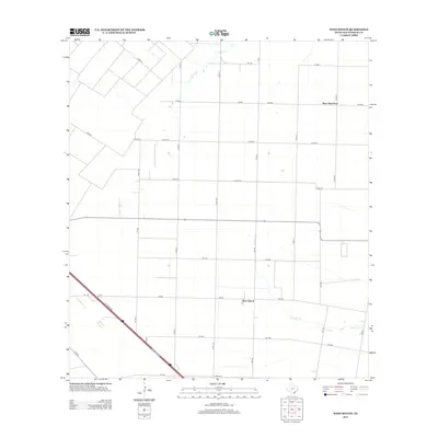 2013 West Sinton2013 Print · USGSCoastal Bend ranching and farming define this San Patricio County landscape in the early twenty-first century. Genealogists and local historians can trace property boundaries along Chiltipin Cr and the rural settlements of West Sinton and West Saint Paul.
Showing maps 1-25 of 96
Top cities of San Patricio County
- Ingleside historical maps
- Sinton historical maps
- Mathis historical maps
- Taft historical maps
- Odem historical maps
- Gregory historical maps
See more
Frequently asked questions
- What are the different types of historical maps available for San Patricio County?
- What is the oldest map of San Patricio County?
- Where can I purchase historical maps of San Patricio County for my home or office?
- Where can I download high-res historical maps of San Patricio County?
- Are there historical topographic maps available for San Patricio County?
- Is there historical aerial imagery available for San Patricio County?
- Where are historical maps of San Patricio County sourced from?