Old Maps of Utopia, Texas for Metal Detecting
Plan your next treasure hunt with 10 historic maps of Utopia. Find old homesites, ghost towns, trails, and gathering spots that may be lost to time — perfect for identifying promising metal detecting locations.
- Locate forgotten sites: Uncover places like long-lost settlements, abandoned rail lines, or gathering spots.
- Plan better hunts: Use map overlays combined with LiDAR or satellite views to narrow in on historically rich areas.
- Made for detectorists: Thousands of hobbyists use these maps to discover relics, coins, and hidden history.
Use these historic maps to boost your research and find new opportunities beneath the surface of Utopia.
Utopia, TX maps
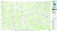
(10)- 1954 Map of San Antonio, 1964 Print
 1954 San Antonio1964 Print · USGSSan Antonio and the Texas Hill Country are captured here in the mid-fifties, showing a landscape defined by massive military air bases and the rising Canyon Reservoir. Trace family ties through historic rail towns like D'Hanis and Castroville or explore the Cold War footprint of Lackland AFB and Randolph AFB.3 unique versions available
 - 1956 Map of Utopia
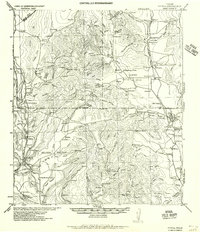 1956 Utopia1956 Print · USGSThe Sabinal and Frio River valleys are mapped here during the mid-twentieth century, showcasing a transition from pioneer homesteads to established ranching. Genealogists and historians can trace family locations like Paterson Ranch or find vanished landmarks like Thompsons Mill and Taylor School.
 - 1957 Map of San Antonio
 1957 San Antonio1957 Print · USGSSan Antonio and the Texas Hill Country are shown here during the mid-fifties, capturing the region's expanding post-war military and transportation footprint. Genealogists and local historians can trace the early residential boundaries of Alamo Heights or locate rural landmarks like St Hedwig and Medina Lake.
 - 1969 Map of Utopia, 1972 Print
 1969 Utopia1972 Print · USGSThe Sabinal River valley in the late sixties shows a landscape of small settlements and Hill Country ranching. Genealogy researchers can locate the Waresville Cem and High Sch, or trace family landmarks like Blanco Ranch and Bald Mountain.
 - 1985 Map of Bandera
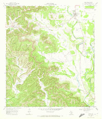
 1985 Bandera1985 Print · USGSThe Texas Hill Country in the mid-eighties was a land of winding river valleys and high limestone ridges. You can trace the rural road networks and find local landmarks like Garner State Park, Utopia, and Lost Maples State Park.2 unique versions available
 - 2010 Map of Utopia, 2010 Print
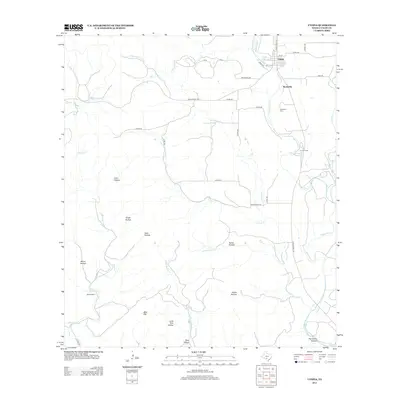
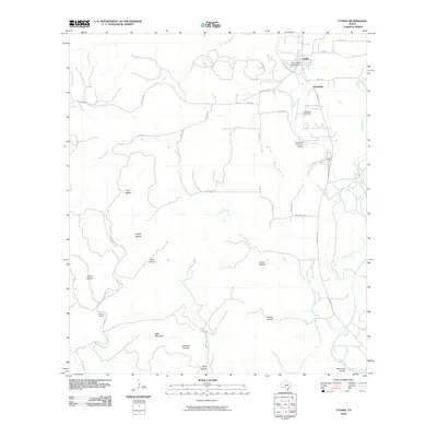 2010 Utopia2010 Print · USGSCovers Utopia, including Waresville, Uvalde County, and other nearby areas
 - 2013 Map of Utopia, 2013 Print
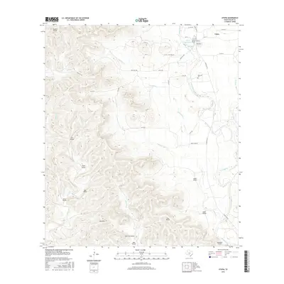
 2013 Utopia2013 Print · USGSCovers Utopia, including Waresville, Uvalde County, and other nearby areas
 - 2016 Map of Utopia, 2016 Print
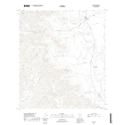
 2016 Utopia2016 Print · USGSCovers Utopia, including Waresville, Uvalde County, and other nearby areas
 - 2019 Map of Utopia, 2019 Print
 2019 Utopia2019 Print · USGSCovers Utopia, including Waresville, Uvalde County, and other nearby areas
 - 2022 Map of Utopia, 2022 Print
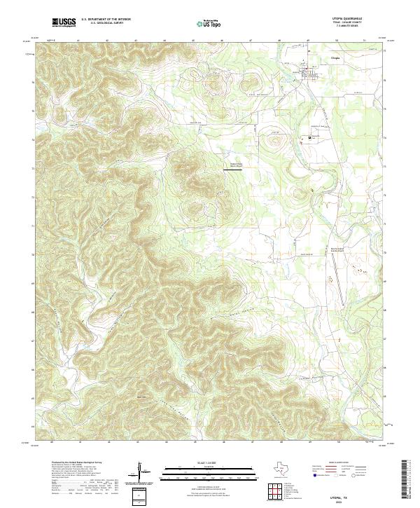 2022 Utopia2022 Print · USGSTexas Hill Country life centers on the Sabinal River and the quiet town of Utopia in this contemporary 2022 survey. Genealogists and historians can trace local landmarks like the Waresville Cem or the winding courses of Onion Cr and Blanco Cr.
End of results
Showing maps 1-10 of 10
Frequently asked questions
- What are the different types of historical maps available for Utopia?
- What is the oldest map of Utopia?
- Where can I purchase historical maps of Utopia for my home or office?
- Where can I download high-res historical maps of Utopia?
- Are there historical topographic maps available for Utopia?
- Is there historical aerial imagery available for Utopia?
- Where are historical maps of Utopia sourced from?