2020s Maps of Wilson County, Texas
Explore 25 historic maps of Wilson County from the 2020s. These maps offer a rare glimpse into what life looked like during the 2020s — showing old roads, neighborhoods, homes, and landmarks that have changed or disappeared over time.
Whether you're researching your family's past, planning a metal detecting trip, or studying how Wilson County's landscape evolved across the 2020s, these high-resolution maps are a powerful tool for exploring the history of this region.
- Focus on a specific era: All maps on this page are from the 2020s, giving you a focused view of this time period.
- See what’s changed: Compare century-old streets, trails, and buildings to today's modern landscape using overlays and satellite layers.
- Research with precision: Use these maps for genealogy, historical research, land use analysis, or educational projects.
- View, download, or print: Maps are fully viewable online in high resolution, and can be downloaded or printed for your own records.
Start exploring Wilson County's history through authentic maps from the 2020s. This is your window into the past.
Wilson County, TX maps
(25)- 2022 Map of Three Oaks, 2022 Print
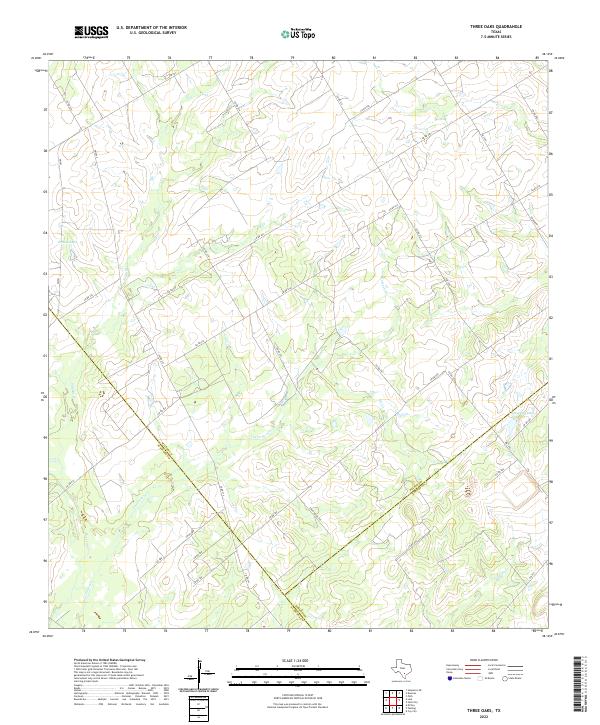 2022 Three Oaks2022 Print · USGSThe rural crossroads where Wilson, Atascosa, and Karnes counties meet are captured in this recent survey of South Texas ranch land. Genealogists and land researchers can trace property boundaries along CO RD 207 and drainage basins like Grimes Lake and Tessman Lake.
 - 2022 Map of Leal, 2022 Print
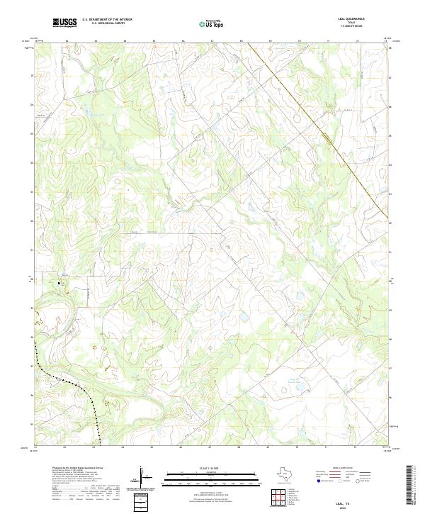 2022 Leal2022 Print · USGSThe Atascosa and Wilson county line comes to life in this recent survey of South Texas ranch land. Genealogists and researchers can locate the Leal Cem and trace the paths of Lucas Cr and the Atascosa River.
 - 2022 Map of Falls City, 2022 Print
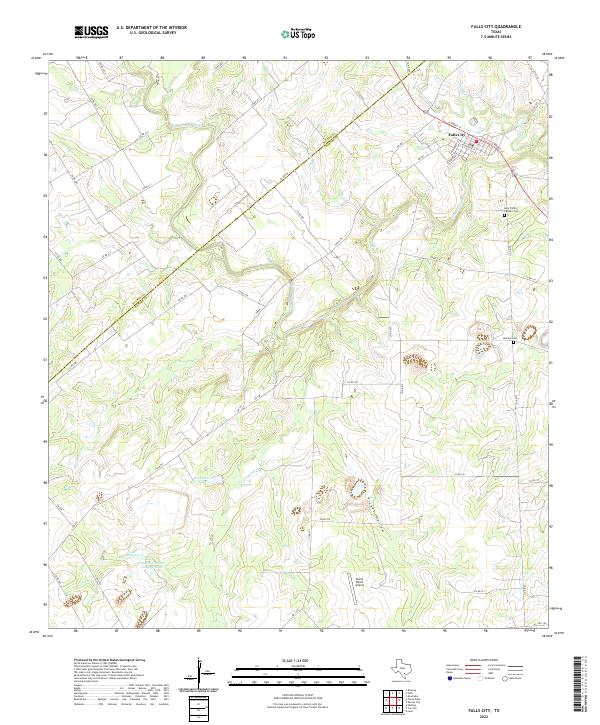 2022 Falls City2022 Print · USGSThe rural landscape of Falls City and the Karnes-Wilson county line are mapped here during a period of modern ranching and industry. Researchers can trace family sites like Holy Trinity Catholic Cem and Mueller Cem or locate landmarks such as Skiles Falls and Picket Hollow.
 - 2022 Map of Saint Hedwig, 2022 Print
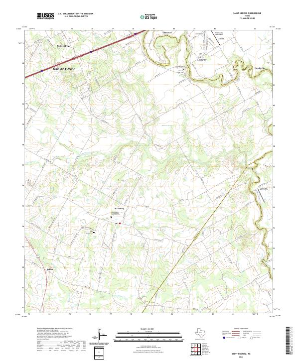 2022 Saint Hedwig2022 Print · USGSThe rolling country east of San Antonio is captured here in the early 2020s, showing a landscape of rural family roads and old parish centers. Genealogists can locate Saint Hedwig Cem and Classen Beyer Cem along the creek bottoms.
 - 2022 Map of New Berlin, 2022 Print
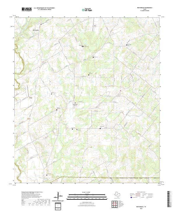 2022 New Berlin2022 Print · USGSThe community of New Berlin and its surrounding family farmsteads are captured here in the early twenty-first century. Researchers can locate many local landmarks like Sweet Home Cem, Buelah Airport, and Linne Cem.
 - 2022 Map of Marcelinas Hills, 2022 Print
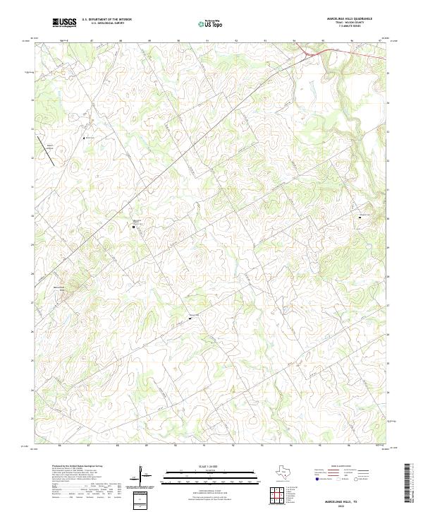 2022 Marcelinas Hills2022 Print · USGSThe rural landscape of Wilson County is captured here in the early 2020s, showing a settled terrain defined by creek beds and country roads. Researchers can trace family history at the Marcelina Baptist Church Cemetery, Shiloh Cemetery, and Harper Cemetery.
 - 2022 Map of Losoya, 2022 Print
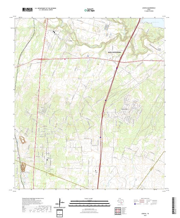 2022 Losoya2022 Print · USGSIn the southern reaches of Bexar County during the early twenty-first century, the river valleys and rural settlements maintain a distinct identity. Genealogists and historians can trace local family footprints at Herrera Cem, Barney Williams Cem, and along the banks of the Medina River.
 - 2022 Map of Poth, 2022 Print
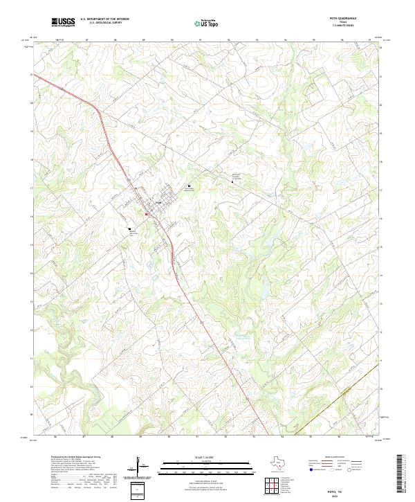 2022 Poth2022 Print · USGSIn the rural corridor south of San Antonio, this contemporary survey captures the town of Poth and its surrounding river-cut landscape. Genealogists can locate family sites at Saint Johns Lutheran Cem or trace the path of the San Antonio River and Marcelinas Cr.
 - 2022 Map of La Vernia, 2022 Print
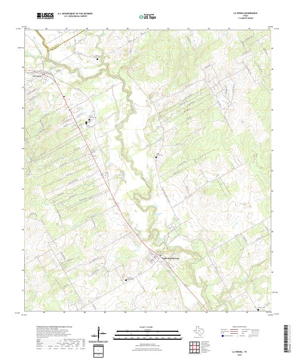 2022 La Vernia2022 Print · USGSThe Wilson and Guadalupe county line comes alive in this contemporary record of the central Texas landscape. Genealogists can trace family heritage through the Polley Family Cem, Cruse Colony Cem, and the waters of Sulphur Spring.
 - 2022 Map of La Vernia SW, 2022 Print
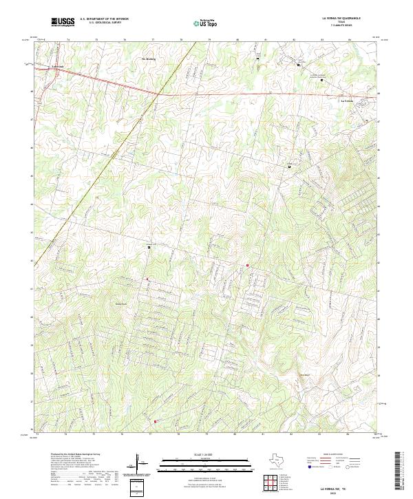 2022 La Vernia SW2022 Print · USGSBexar and Wilson Counties come into focus during this period of rural Texas growth near the Post Oak Savannah. Genealogists and historians can trace family locations through several burial grounds, including Kicaster Cem, Beall Cem, and Saint Anns Cem.
 - 2022 Map of Saspamco, 2022 Print
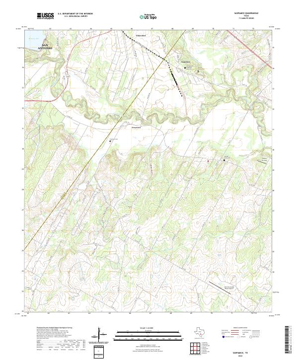 2022 Saspamco2022 Print · USGSSoutheastern Texas ranch lands and river bends come alive in this recent survey of the Wilson and Bexar county line. Local historians can trace cemetery locations like Canada Verde Cem or the industrial roots of Saspamco near the San Antonio River.
 - 2022 Map of Dewees, 2022 Print
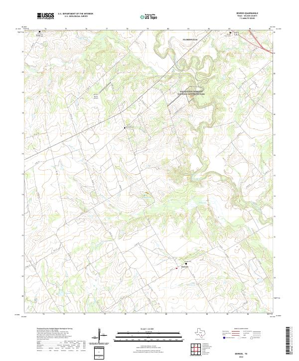 2022 Dewees2022 Print · USGSWilson County’s rural landscape south of Floresville is mapped here in the early 2020s, showing the intersection of ranching land and historical preservation. Genealogists can locate family burial sites at Dewees Cem and Evergreen Cem near the banks of the San Antonio River.
 - 2022 Map of Saspamco SE, 2022 Print
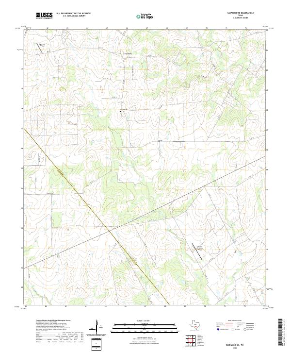 2022 Saspamco SE2022 Print · USGSThe South Texas ranchlands near the Atascosa and Wilson county line are documented here in their modern rural character. Researchers can locate family landmarks such as Fairview Cem and private landing strips like Ray Farm Airport.
 - 2022 Map of Leming, 2022 Print
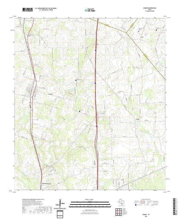 2022 Leming2022 Print · USGSAtascosa County ranching country is mapped in the modern era, showing the enduring footprints of small communities and family landholdings. Researchers can locate numerous local landmarks such as Saint Luke Catholic Cem, Purtle Hollow, and the settlement of Verdi.
 - 2022 Map of Ecleto, 2022 Print
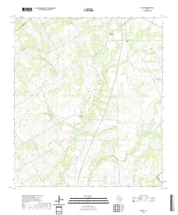 2022 Ecleto2022 Print · USGSKarnes County remains a landscape of quiet rural crossroads and family legacies in the early twenty-first century. Genealogists and local historians can trace small burial sites like Treybig Cem or find landmarks like the Lone Star Baptist Church.
 - 2022 Map of Dewville, 2022 Print
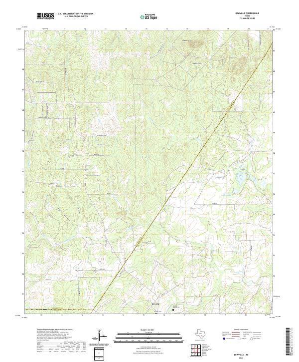 2022 Dewville2022 Print · USGSThe rural Guadalupe County landscape near the Gonzales County line shows a persistent ranching heritage in the 2020s. Genealogists can trace family connections at the Dewville Cem and Sandies Chapel Cem or locate landmarks like Capote Knob and Dukes Hollow.
 - 2022 Map of Kosciusko, 2022 Print
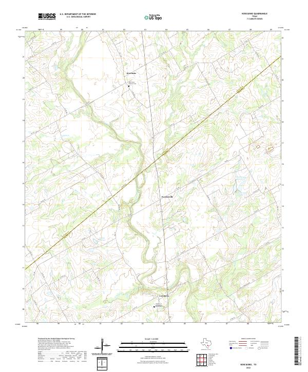 2022 Kosciusko2022 Print · USGSSettled by Polish immigrants in the late nineteenth century, this South Texas region maintains its distinct character through the modern day. Genealogists and local historians can trace family landmarks and parish sites like Cestohowa, Kosciusko, and the Saint Anns Catholic Cem.
 - 2022 Map of Thomas Springs, 2022 Print
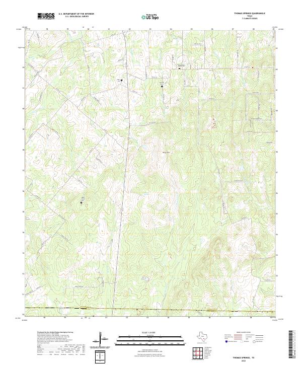 2022 Thomas Springs2022 Print · USGSGuadalupe and Wilson counties maintain their rural character in this 2020s landscape defined by winding creeks and family landholdings. Researchers can locate legacy burial sites like Jakes Colony Cem and trace watercourses like E Fork Ecleto Cr.
 - 2022 Map of Nixon, 2022 Print
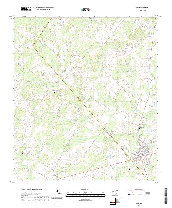 2022 Nixon2022 Print · USGSThe Gonzales and Wilson County line runs through this South Texas landscape during the early 2020s, centered on the community of Nixon. Genealogists can trace local roots across nearly a dozen burial sites, including Harris Chapel Greater Rising, Star Cem, and Dewville Cem.
 - 2022 Map of Floresville, 2022 Print
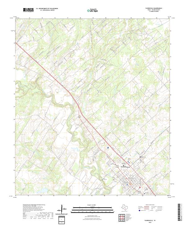 2022 Floresville2022 Print · USGSFloresville and the Wilson County heartland are captured here in the early twenty-first century as the area balances its riverfront roots with modern growth. Genealogists can trace family heritage through local landmarks like the Canary Islanders Cem and the Wilson County Courthouse.
 - 2022 Map of Alum, 2022 Print
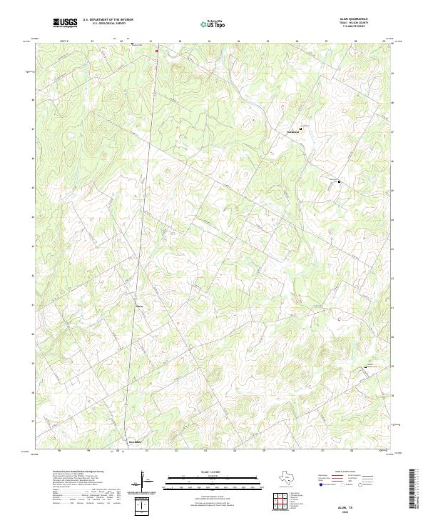 2022 Alum2022 Print · USGSThe rural Wilson County countryside is captured here in the early twenty-first century, showcasing the creek-fed ranch lands of South Texas. Local historians can trace family roots through several remote burial sites including Nockenut Cem, Leach Cem, and Steele Branch Cem.
 - 2022 Map of Elmendorf, 2022 Print
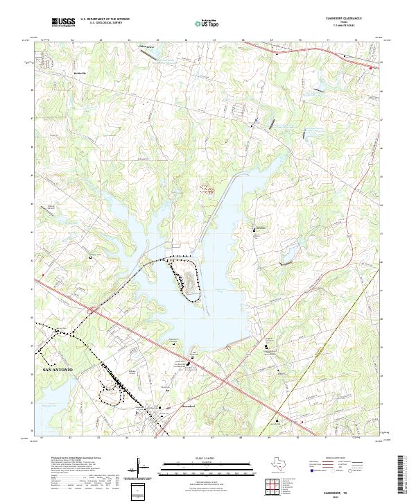 2022 Elmendorf2022 Print · USGSSoutheast of San Antonio in the 2020s, this area of Bexar County shows a unique landscape of modern reservoirs and deep-rooted family history. Researchers can trace dozens of local burial sites like Cementerio Santa Isabel, Hobrecht Family Cem, and Elmendorf City Cem.
 - 2022 Map of Stockdale, 2022 Print
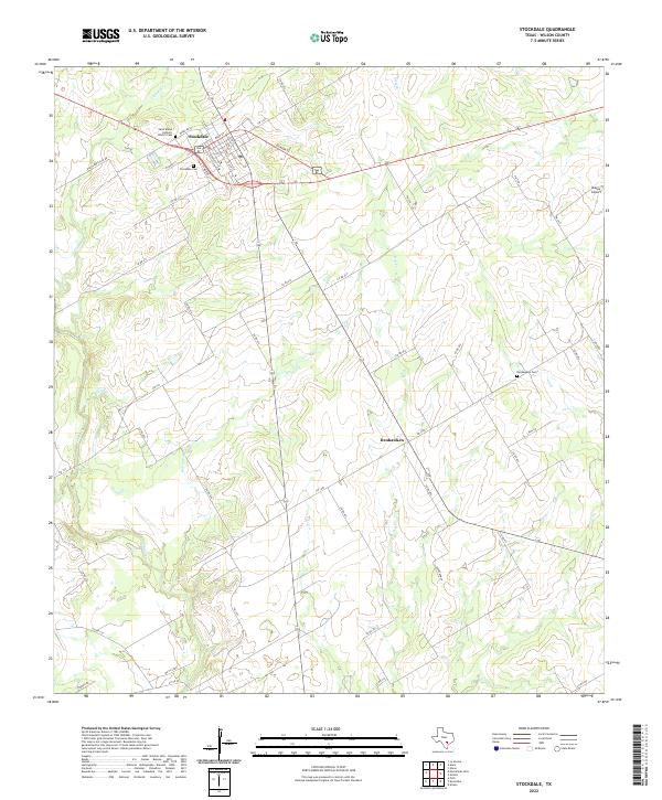 2022 Stockdale2022 Print · USGSStockdale and the surrounding Wilson County ranch lands are documented here in the early twenty-first century. Researchers can trace family history through the Saint Marys Catholic Church Cem, explore the rural settlement of Denhawken, and follow the banks of Cibolo Cr.
 - 2022 Map of Bald Mound, 2022 Print
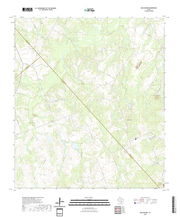 2022 Bald Mound2022 Print · USGSThe tri-county border of Gonzales, Wilson, and Karnes counties is mapped here in the early twenty-first century. Genealogists and local historians can trace family land near Griffin Cem and landmarks like Bald Mound and Kelly Lake.
 - 2022 Map of Gillett, 2022 Print
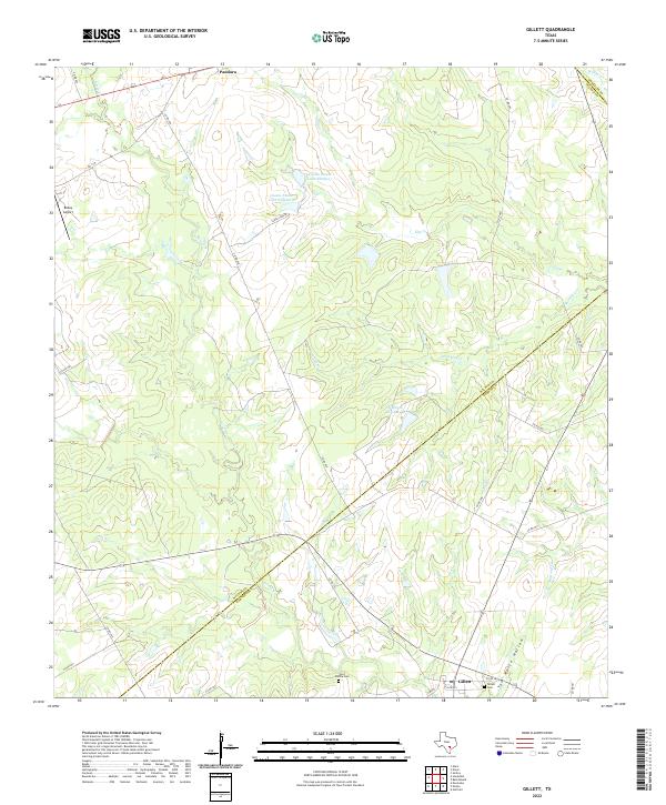 2022 Gillett2022 Print · USGSThe South Texas ranchlands near the Wilson and Karnes county line are mapped here during the early 2020s. Genealogists can locate family landmarks like the Ford Family Cem and the Gillett Cem near the settlement of Gillett.
End of results
Showing maps 1-25 of 25
Top cities of Wilson County
Frequently asked questions
- What are the different types of historical maps available for Wilson County?
- What is the oldest map of Wilson County?
- Where can I purchase historical maps of Wilson County for my home or office?
- Where can I download high-res historical maps of Wilson County?
- Are there historical topographic maps available for Wilson County?
- Is there historical aerial imagery available for Wilson County?
- Where are historical maps of Wilson County sourced from?