2000s (21st Century) Maps of Wilson County, Texas
Explore 125 historic maps of Wilson County from the 2000s (21st Century). These maps offer a rare glimpse into what life looked like during the 2000s — showing old roads, neighborhoods, homes, and landmarks that have changed or disappeared over time.
Whether you're researching your family's past, planning a metal detecting trip, or studying how Wilson County's landscape evolved across the 2000s, these high-resolution maps are a powerful tool for exploring the history of this region.
- Focus on a specific era: All maps on this page are from the 2000s, giving you a focused view of this time period.
- See what’s changed: Compare century-old streets, trails, and buildings to today's modern landscape using overlays and satellite layers.
- Research with precision: Use these maps for genealogy, historical research, land use analysis, or educational projects.
- View, download, or print: Maps are fully viewable online in high resolution, and can be downloaded or printed for your own records.
Start exploring Wilson County's history through authentic maps from the 2000s. This is your window into the past.
Wilson County, TX maps
(125)- 2010 Map of Ecleto, 2010 Print
 2010 Ecleto2010 Print · USGSKarnes County, Texas, at the turn of the decade is depicted here as a landscape of small settlements and active oil production. Researchers can locate family landmarks like the Treybig Cemetery or trace the drainage of Ecleto Creek and Dry Ecleto Creek.
 - 2010 Map of Dewville, 2010 Print
 2010 Dewville2010 Print · USGSDewville and its surrounding Gonzales County ranchlands are captured here in the early twenty-first century. Genealogists and local historians can trace family roots through Dewville Cemetery and Sandy Chapel Cemetery or locate long-established holdings like Quien Sabe Ranch.
 - 2010 Map of Bald Mound, 2010 Print
 2010 Bald Mound2010 Print · USGSWilson County at the start of the decade reveals a landscape of ranching and water management. Genealogists and local historians can trace family-named landmarks and rural infrastructure along Mound Creek, Bald Mound, and the Joye Ranch Airport.
 - 2010 Map of Alum, 2010 Print
 2010 Alum2010 Print · USGSSettlements and oil fields define this rural landscape near the turn of the millennium. Researchers can trace family history through sites like Nockenut Cemetery and Steel Branch Cemetery or locate the Scotty Oil Field.
 - 2010 Map of Gillett, 2010 Print
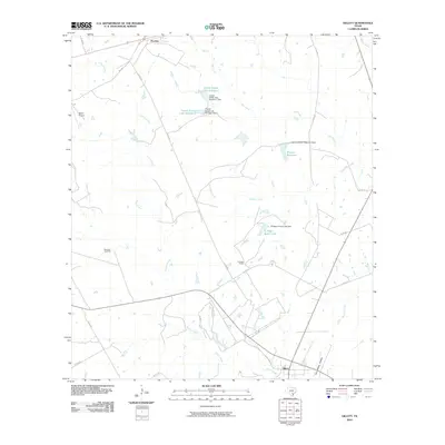 2010 Gillett2010 Print · USGSGillett and Pandora appear in this 2010 survey during a period when ranching and natural gas extraction shaped the Karnes County landscape. Researchers can locate family landmarks such as El Negro Ranch, Bailey Airport, and the southern Tom White Hollow.
 - 2010 Map of Kosciusko, 2010 Print
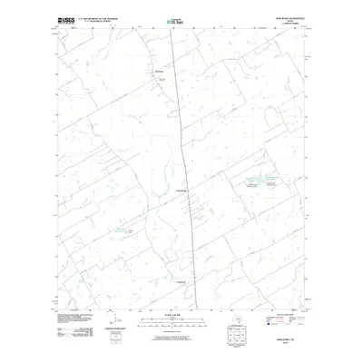 2010 Kosciusko2010 Print · USGSTexas ranching country and rural settlements are captured here in the early twenty-first century. Genealogists and local researchers can trace family landmarks like Saint Anns Cemetery and find the exact footprints of Pawelekville and Kosciusko.
 - 2010 Map of Stockdale, 2010 Print
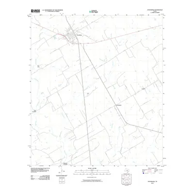 2010 Stockdale2010 Print · USGSStockdale and the surrounding Wilson County ranchlands are documented here at the start of the 2010s. Researchers can trace family history at Denhawken Cemetery or locate old crossing points like Gray Crossing and Plummer Crossing along the Cibolo Creek.
 - 2010 Map of Thomas Springs, 2010 Print
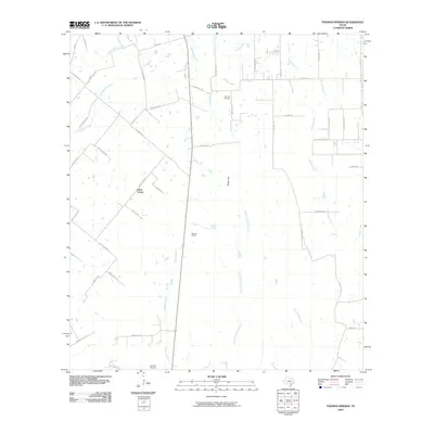 2010 Thomas Springs2010 Print · USGSTexas ranchlands and small communities come into focus in the early twenty-first century. Genealogists and local historians can trace family locations near Jakes Colony, Zion Hill Cemetery, and the Weinert Ranch along the banks of Ecleto Creek.
 - 2010 Map of Nixon, 2010 Print
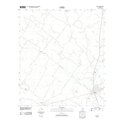 2010 Nixon2010 Print · USGSThe ranching and farming lands surrounding Nixon are captured here during a period of modern agricultural stability. Researchers can trace rural family roots through numerous local burial sites like Dewville Cemetery, Demmer Cemetery, and Pleasant Valley Cemetery.
 - 2010 Map of Elmendorf, 2010 Print
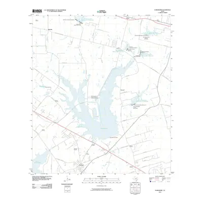 2010 Elmendorf2010 Print · USGSSoutheast of San Antonio in the early twenty-first century, this map shows a landscape defined by industrial power and rural heritage. Genealogists can locate family burial sites like Cantu Cemetery and Flores Cemetery near the shores of Calaveras Lake.
 - 2010 Map of Falls City, 2010 Print
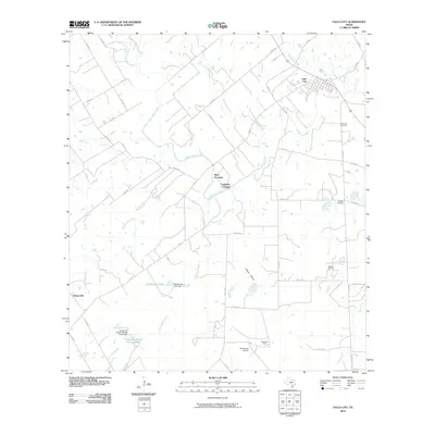 2010 Falls City2010 Print · USGSFalls City and the surrounding Karnes County landscape are defined by the winding San Antonio River in the early twenty-first century. Researchers can trace historic river crossings at Mays Crossing and Conquista Crossing or locate family plots at Mueller Cemetery.
 - 2010 Map of La Vernia SW, 2010 Print
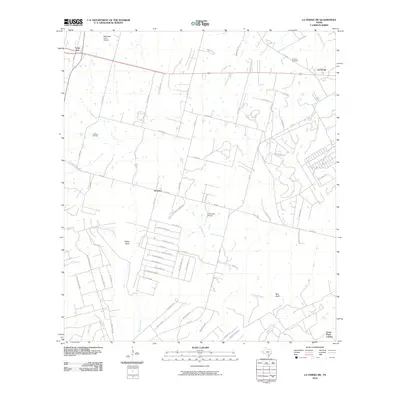 2010 La Vernia SW2010 Print · USGSThe crossroads of Wilson and Bexar counties come into focus during this period of rural residential development. Local historians can trace family-named lands and early infrastructure through the Cooksey Oil Field, La Vernia Cemetery, and the Grass Pond Colony.
 - 2010 Map of Leming, 2010 Print
 2010 Leming2010 Print · USGSAtascosa County settlement patterns are preserved here in the first decade of the 2000s, showing a landscape defined by small communities and family acreage. Genealogists can locate several remote burial sites such as Tuminson Cemetery and Saint Luke Cemetery.
 - 2010 Map of Marcelinas Hills, 2010 Print
 2010 Marcelinas Hills2010 Print · USGSWilson County at the end of the first decade of the 2000s showcases a transition from traditional ranching to modern energy and aviation. Researchers can locate the Wheeler Cemetery, trace the Floresville Oil Field, and find rural communities like Sunnyside.
 - 2010 Map of Saspamco, 2010 Print
 2010 Saspamco2010 Print · USGSSoutheast of San Antonio in the early twenty-first century, this area shows the rural river bends and ranch lands of Bexar County. Researchers can trace historic settlements like Graytown and Saspamco or locate the John B Connally Ranch Airport.
 - 2010 Map of Losoya, 2010 Print
 2010 Losoya2010 Print · USGSBexar County at the start of the 2010s shows a landscape defined by river confluences and rural settlements south of San Antonio. Researchers can trace land development and water features from Victor Braunig Lake to local landmarks like Triple R Airport and Losoya.
 - 2010 Map of Floresville, 2010 Print
 2010 Floresville2010 Print · USGSWilson County shows its modern growth and deep roots at the start of the decade as the city of Floresville expands along the San Antonio River. Genealogists and local historians can trace burial sites at Lodi Cemetery and explore landmarks like Deadman Hollow and Connally Lake Dam Number 2.
 - 2010 Map of Poth, 2010 Print
 2010 Poth2010 Print · USGSThe community of Poth is shown at the start of the 2010s, surrounded by the oil fields and creek bottoms of Wilson County. Genealogists and researchers can locate the Lutheran Cemetery or trace industrial sites like the Panna Maria Tailings Pond and Bienek Oil Field.
 - 2010 Map of Leal, 2010 Print
 2010 Leal2010 Print · USGSLeal and the Atascosa River valley appear here in the early twenty-first century as a landscape of established ranches and creek-fed bottomlands. Genealogists and local historians can trace family-named sites such as Leal Cemetery, Heinen Lake, and the Lazy JP Ranch Lake.
 - 2010 Map of New Berlin, 2010 Print
 2010 New Berlin2010 Print · USGSThe rural landscape of Guadalupe County is shown here in the early twenty-first century, centered on the community of New Berlin. Genealogists will find an incredible concentration of burial sites to trace, from Linne Cemetery to the uniquely named Concrete Cemetery.
 - 2010 Map of Saspamco SE, 2010 Print
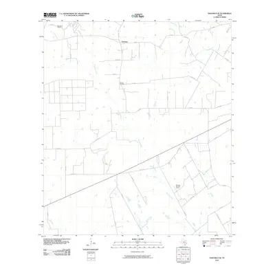 2010 Saspamco SE2010 Print · USGSFairview and the surrounding Wilson County countryside are captured here in the early twenty-first century, showing a landscape defined by ranching and private aviation. Researchers can locate the Fairview Cemetery and trace creek beds like Borrego Creek or Prieto Creek.
 - 2010 Map of Saint Hedwig, 2010 Print
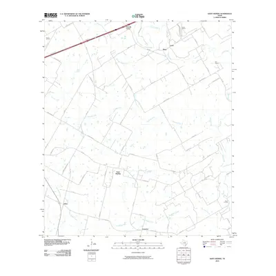 2010 Saint Hedwig2010 Print · USGSBexar County's eastern reaches are shown here in the early twenty-first century as rural communities and aviation hubs expand. Genealogists and local historians can trace family land along Cibolo Creek and locate landmarks like Saint Hedwig and Kempin Cemetery.
 - 2010 Map of Three Oaks, 2010 Print
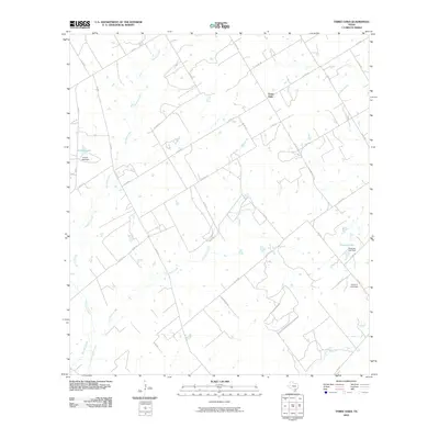 2010 Three Oaks2010 Print · USGSWilson County rural life is captured in this survey of the area around Three Oaks during the early 2000s. Researchers can trace land use through prominent water features and dams, such as Grimes Lake, Tessman Lake, and the uniquely named Uranium Lake Dam.
 - 2010 Map of La Vernia, 2010 Print
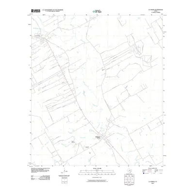 2010 La Vernia2010 Print · USGSWilson County at the start of the 2010s shows a landscape shaped by the waters of Cibolo Creek and the local petroleum industry. Researchers can trace family history at the Sutherland Cemetery or locate the historic water sources of Sulphur Spring and Denning Spring.
 - 2010 Map of Dewees, 2010 Print
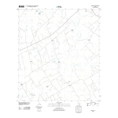 2010 Dewees2010 Print · USGSThe ranchlands of Wilson County come into focus in this late-career survey, showing the deep connections between the San Antonio River and rural settlement. Researchers can trace family-named lands like Dewees Ranch and Seale Ranch alongside the Mission of Las Cabreras.
Showing maps 1-25 of 125
Top cities of Wilson County
Frequently asked questions
- What are the different types of historical maps available for Wilson County?
- What is the oldest map of Wilson County?
- Where can I purchase historical maps of Wilson County for my home or office?
- Where can I download high-res historical maps of Wilson County?
- Are there historical topographic maps available for Wilson County?
- Is there historical aerial imagery available for Wilson County?
- Where are historical maps of Wilson County sourced from?