2020s Maps of Winkler County, Texas
Explore 22 historic maps of Winkler County from the 2020s. These maps offer a rare glimpse into what life looked like during the 2020s — showing old roads, neighborhoods, homes, and landmarks that have changed or disappeared over time.
Whether you're researching your family's past, planning a metal detecting trip, or studying how Winkler County's landscape evolved across the 2020s, these high-resolution maps are a powerful tool for exploring the history of this region.
- Focus on a specific era: All maps on this page are from the 2020s, giving you a focused view of this time period.
- See what’s changed: Compare century-old streets, trails, and buildings to today's modern landscape using overlays and satellite layers.
- Research with precision: Use these maps for genealogy, historical research, land use analysis, or educational projects.
- View, download, or print: Maps are fully viewable online in high resolution, and can be downloaded or printed for your own records.
Start exploring Winkler County's history through authentic maps from the 2020s. This is your window into the past.
Winkler County, TX maps
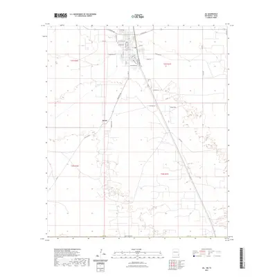
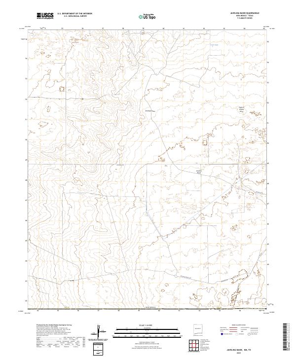
(22)- 2020 Map of Javelina Basin, 2020 Print
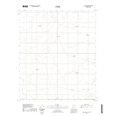 2020 Javelina Basin2020 Print · USGSCovers Winkler County, including Medlin Place, Lea County, and other nearby areas
 - 2020 Map of Jal, 2020 Print
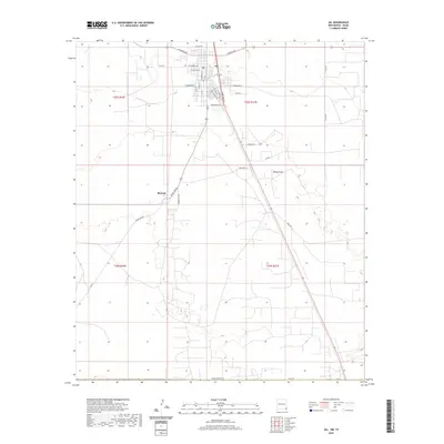 2020 Jal2020 Print · USGSCovers Winkler County, including Jal, Bennett, and other nearby areas
 - 2022 Map of Jal SE, 2022 Print
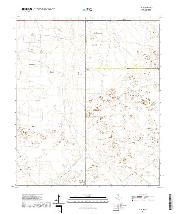 2022 Jal SE2022 Print · USGSThe high-desert borderlands of Texas and New Mexico are captured in this recent survey of the Permian Basin region. Researchers can trace the path of Monument Draw across the state line near N FM 1218 and SW 9751.
 - 2022 Map of Y T Ranch, 2022 Print
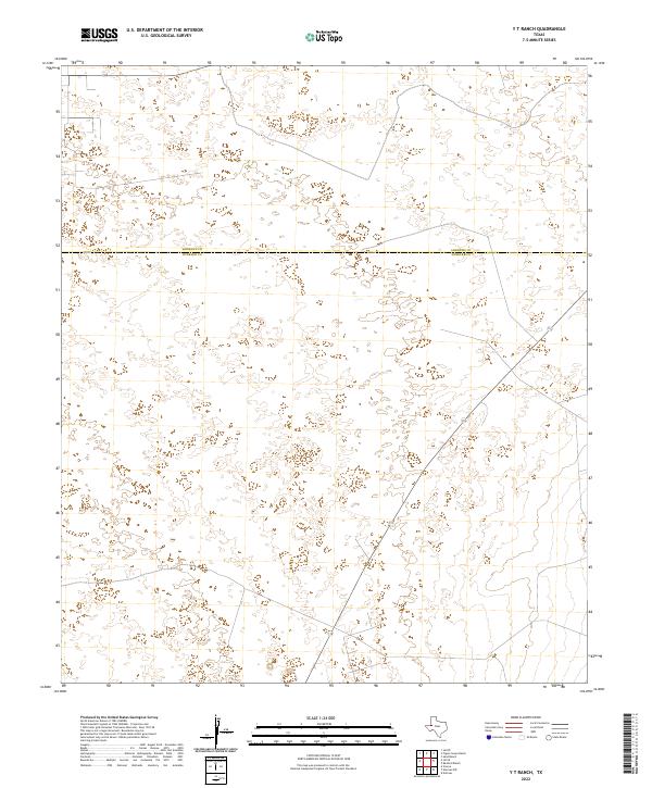 2022 Y T Ranch2022 Print · USGSThe northern reaches of the Permian Basin appear here in the early 2020s, showcasing the open country where West Texas ranchlands meet. A researcher can trace the surveyed boundary between Andrews Co and Winkler Co across this sparsely settled landscape.
 - 2022 Map of Bedford Ranch, 2022 Print
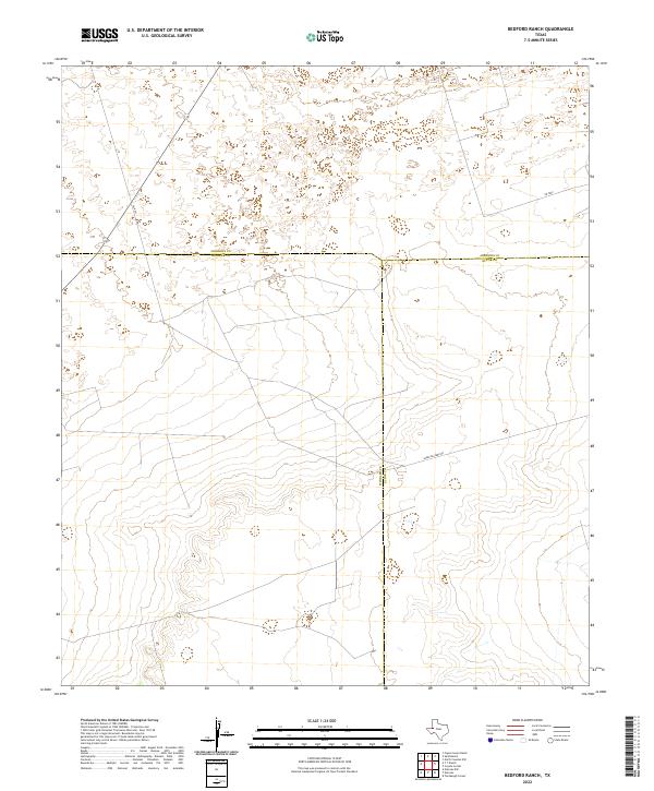 2022 Bedford Ranch2022 Print · USGSIn the heart of the Permian Basin during the early twenty-first century, this survey tracks the intersection of three West Texas counties. Researchers can trace the modern industrial and ranching landscape along Sheep Pasture Rd and SW 8201.
 - 2022 Map of Notrees, 2022 Print
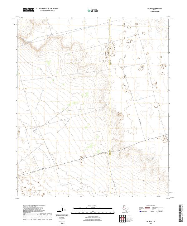 2022 Notrees2022 Print · USGSWinkler and Ector counties are captured during the modern oil era, showing the infrastructure around the small settlement of Notrees. Trace the network of energy roads like Jim Sharp Blvd and N Climarex Rd across the West Texas plains.
 - 2022 Map of Notrees NW, 2022 Print
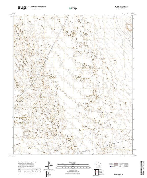 2022 Notrees NW2022 Print · USGSWinkler County, Texas, is captured in this modern survey of the high desert and shifting dunes. Historians and land researchers can trace the specific routes of Jim Sharp Blvd and N FM 874 as they navigate the prominent Kermit Sand Hills.
 - 2022 Map of China Ranch, 2022 Print
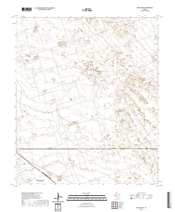 2022 China Ranch2022 Print · USGSThe West Texas plains at the Winkler and Ward County border are captured here in the early twenty-first century. Researchers can trace the northern edge of Monahans and locate isolated water sources like Buzzard Roost Springs amidst a sparse network of county roads.
 - 2022 Map of Wheeler Ranch, 2022 Print
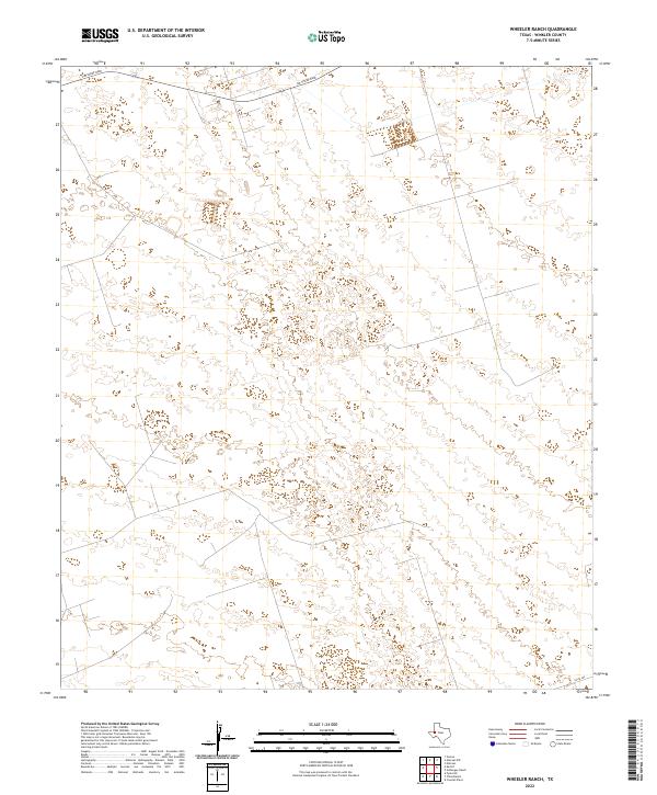 2022 Wheeler Ranch2022 Print · USGSWinkler County is captured in its contemporary state, showing a landscape defined by desert geography and isolated ranch roads. Genealogists and local historians can trace the paths of Jim Sharp Blvd and Co Rd 404 through this sparsely populated terrain.
 - 2022 Map of Amburgey Ranch, 2022 Print
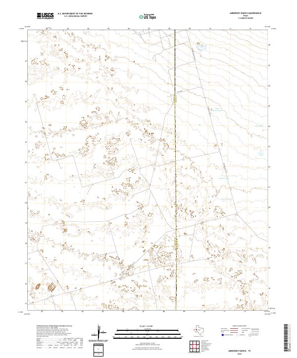 2022 Amburgey Ranch2022 Print · USGSThe West Texas ranchlands on the Winkler and Ector county line are mapped here in the early twenty-first century. Researchers can trace the network of vital water sources and remote roads like White Horse Tank, Bumper Tank, and Caliche Rd.
 - 2022 Map of Cowden Place, 2022 Print
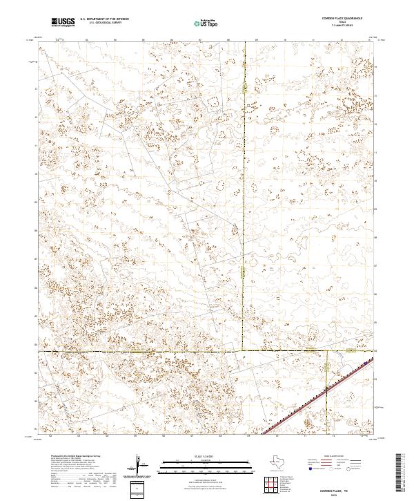 2022 Cowden Place2022 Print · USGSThe West Texas Permian Basin is captured here at the intersection of four counties during a period of modern energy development. Researchers can trace local infrastructure and property access via Park Rd 41, Glenn Allen Rd, and the footprint of Altura Energy Ltd.
 - 2022 Map of Kermit, 2022 Print
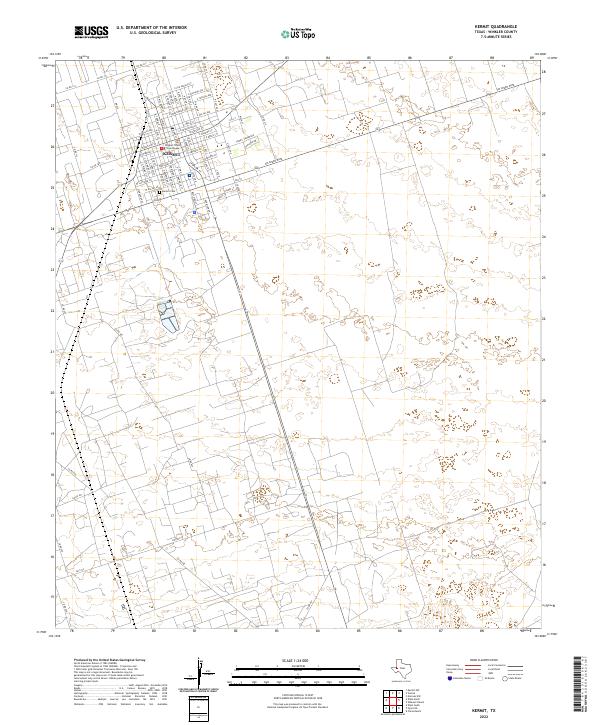 2022 Kermit2022 Print · USGSKermit and the surrounding Winkler County plains are captured in this modern survey of the Permian Basin. Local historians and genealogists can trace the town's street layout around the Winkler County Courthouse and locate the Kermit Cem.
 - 2022 Map of Cheyenne Draw SE, 2022 Print
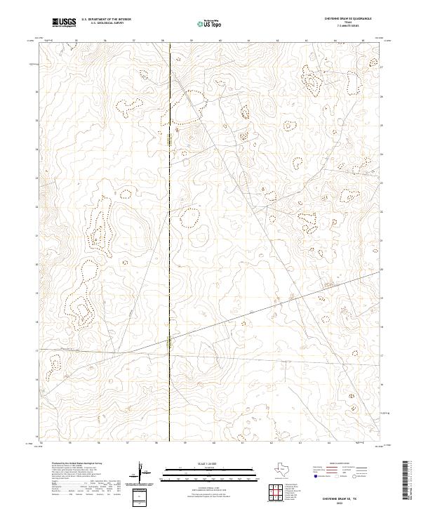 2022 Cheyenne Draw SE2022 Print · USGSThe West Texas borderlands between Loving and Winkler counties come into focus in this contemporary survey of the Permian Basin. Local history researchers can trace the path of Ranch Rd 1211 across the Loving Co Winkler Co line.
 - 2022 Map of Cheyenne Draw, 2022 Print
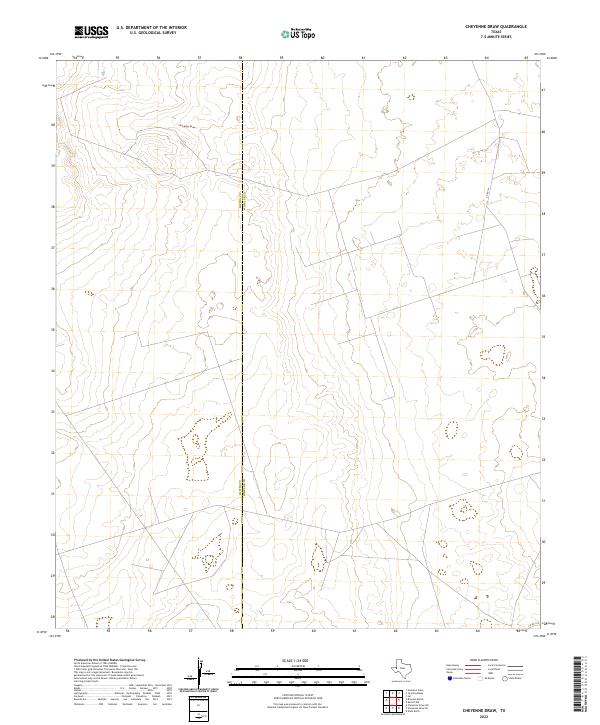 2022 Cheyenne Draw2022 Print · USGSThe West Texas borderlands of Loving and Winkler Counties are captured here in the early 2020s. Researchers can trace the path of Cheyenne Draw and the rural road network including CO RD 101 across this remote landscape.
 - 2022 Map of Pyote NE, 2022 Print
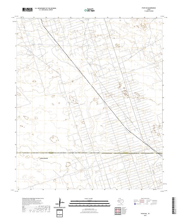 2022 Pyote NE2022 Print · USGSWinkler and Ward Counties are shown at the height of modern energy development in this 2022 survey. Trace the intricate network of industrial access roads like Co Rd 401 and Co Rd 209 as they extend north from Monahans.
 - 2022 Map of Wink South, 2022 Print
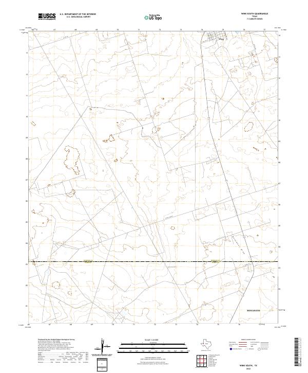 2022 Wink South2022 Print · USGSThe northern reaches of the Permian Basin are captured in this 2022 survey, showing the transition from the town of Wink to the open flats of Winkler Co. Trace the residential grid along S Monahans Dr and follow the route of Little Joe Rd across the wide expanse toward Monument Draw.
 - 2022 Map of Soda Lake NE, 2022 Print
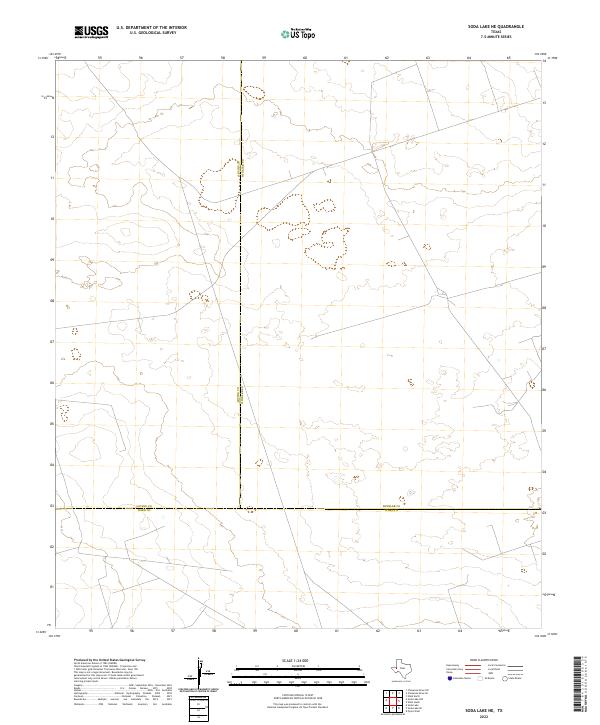 2022 Soda Lake NE2022 Print · USGSThe West Texas desert landscape is captured here in the early 2020s at the intersection of three major counties. Researchers can trace the precise boundaries of Loving, Winkler, and Ward counties across this energy-rich terrain.
 - 2022 Map of Wink North, 2022 Print
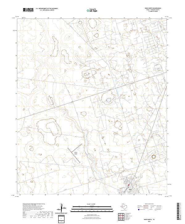 2022 Wink North2022 Print · USGSWink and the surrounding desert of Winkler County are shown here in the early 2020s. Researchers can trace the town's modern layout along Ray Orbison Dr and locate regional hubs like the Winkler County Airport and the course of Monument Draw.
 - 2022 Map of Vesrue, 2022 Print
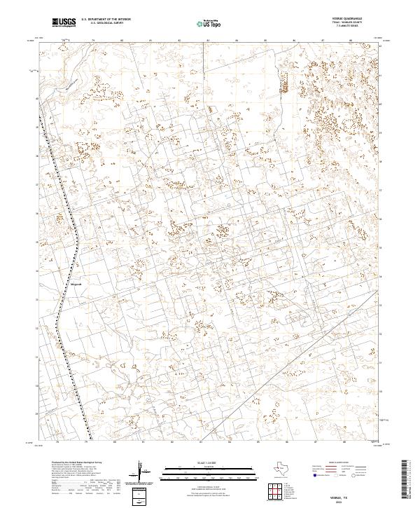 2022 Vesrue2022 Print · USGSWinkler County is shown at the height of its industrial and ranching activity in this contemporary survey of the Permian Basin. Researchers can trace the extensive network of service roads and local routes surrounding Magwalt, including N FM 874 and Monument Draw.
 - 2022 Map of Kermit NW, 2022 Print
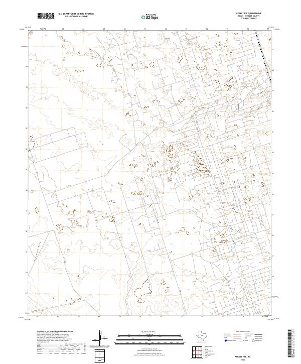 2022 Kermit NW2022 Print · USGSWinkler County is shown in the early 2020s, revealing the dense network of industrial and rural roads that support the local economy. Genealogists and researchers can trace access routes like N Fm 874, Emu Rd, and the terrain along Monument Draw.
 - 2023 Map of Jal, 2023 Print
 2023 Jal2023 Print · USGSJal and the nearby settlement of Bennett appear at the edge of the New Mexico desert in this modern survey. Genealogists and researchers can trace local family landmarks and burial sites at Jal Cem or explore the transit network from Toboso Flats to Frying Pan Rd.
 - 2023 Map of Javelina Basin, 2023 Print
 2023 Javelina Basin2023 Print · USGSLea County's high desert reaches are captured here in the early twenty-first century, showing a remote landscape of ranching and drainage draws. Researchers can trace rural routes like Beckham Ranch Rd and Frying Pan Rd or locate the Javelina Basin.
End of results
Showing maps 1-22 of 22
Top cities of Winkler County
Frequently asked questions
- What are the different types of historical maps available for Winkler County?
- What is the oldest map of Winkler County?
- Where can I purchase historical maps of Winkler County for my home or office?
- Where can I download high-res historical maps of Winkler County?
- Are there historical topographic maps available for Winkler County?
- Is there historical aerial imagery available for Winkler County?
- Where are historical maps of Winkler County sourced from?