1900s (20th Century) Maps of Yoakum County, Texas
Explore 33 historic maps of Yoakum County from the 1900s (20th Century). These maps offer a rare glimpse into what life looked like during the 1900s — showing old roads, neighborhoods, homes, and landmarks that have changed or disappeared over time.
Whether you're researching your family's past, planning a metal detecting trip, or studying how Yoakum County's landscape evolved across the 1900s, these high-resolution maps are a powerful tool for exploring the history of this region.
- Focus on a specific era: All maps on this page are from the 1900s, giving you a focused view of this time period.
- See what’s changed: Compare century-old streets, trails, and buildings to today's modern landscape using overlays and satellite layers.
- Research with precision: Use these maps for genealogy, historical research, land use analysis, or educational projects.
- View, download, or print: Maps are fully viewable online in high resolution, and can be downloaded or printed for your own records.
Start exploring Yoakum County's history through authentic maps from the 1900s. This is your window into the past.
Yoakum County, TX maps
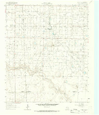
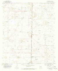
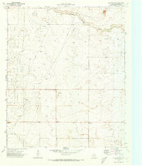
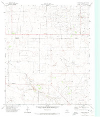
(33)- 1954 Map of Hobbs, 1963 Print
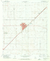
 1954 Hobbs1963 Print · USGSThe High Plains and Permian Basin transition is captured here at the height of the mid-century energy boom. Genealogists and industrial historians can trace the foundations of Humble City, locate the Potash Mine and Plant, and follow the Texas-New Mexico RR.2 unique versions available
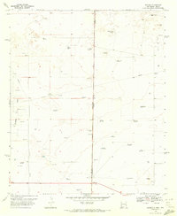
 - 1954 Map of Brownfield, 1975 Print
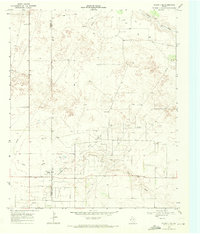
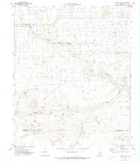
 1954 Brownfield1975 Print · USGSThe High Plains of the Texas-New Mexico border are captured here in the mid-twentieth century, as ranching and oil extraction shaped the Llano Estacado. Genealogists and historians can trace small rural centers like Lums Chapel, Hillburn City, and the Friendship Sch amid a landscape of windmills.2 unique versions available
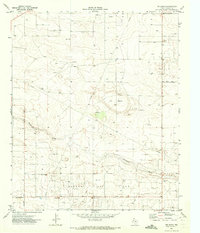
 - 1958 Map of Brownfield
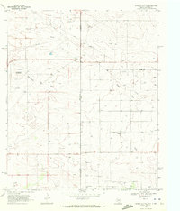
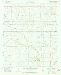
 1958 Brownfield1958 Print · USGSThe High Plains of the Texas-New Mexico border are captured here during a mid-century oil boom. Genealogists and historians can trace old community sites like Lums Chapel and Tokio alongside the vast Levelland and Slaughter Oil and Gas Field.
 - 1958 Map of Hobbs
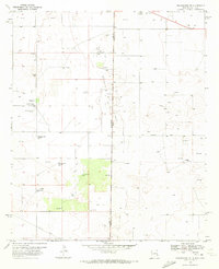
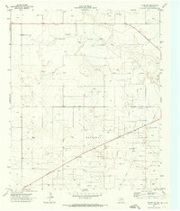
 1958 Hobbs1958 Print · USGSThe High Plains of the Texas-New Mexico border are shown here during the height of the mid-century oil boom. Genealogists and historians can trace the development of Hobbs, Lovington, and Jal, alongside ranching landmarks like James Ranch and the early Texas-New Mexico Railway.
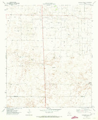
 - 1962 Map of Brownfield
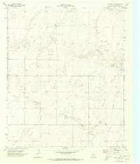
 1962 Brownfield1962 Print · USGSThe High Plains of Texas and New Mexico are captured in the early sixties as a thriving hub of oil production and ranching. Researchers can trace the industrial footprint of the Levelland and Slaughter Oil and Gas Field or locate smaller towns like Sundown and Littlefield.
 - 1965 Map of Plains 1 NE, 1966 Print
 1965 Plains 1 NE1966 Print · USGSMid-century West Texas comes into focus as a center of petroleum and rail activity on the high plains. Researchers can trace the sprawling Levelland and Slaughter Oil and Gas Field, the Girls Town USA settlement, and the Atchison Topeka and Santa Fe line.2 unique versions available
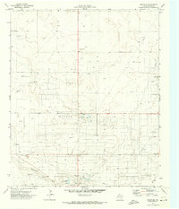
 - 1969 Map of Plains 1 SE, 1971 Print
 1969 Plains 1 SE1971 Print · USGSThe High Plains of West Texas are captured here in the late sixties as the local petroleum economy matured. Genealogists and historians can trace the Prentice Gas Field across the county line, locating the Refinery, Radio Tower, and Sulphur Draw.3 unique versions available
 - 1969 Map of Humble City NE, 1972 Print
 1969 Humble City NE1972 Print · USGSThe Texas-New Mexico borderlands in the late sixties reveal a landscape of expanding energy production and cattle ranching. Researchers can trace the development of the Texpac Oil Field or locate the site of the Airport (Abandoned) and Waits Ranch.4 unique versions available
 - 1970 Map of Prairieview NE, 1972 Print
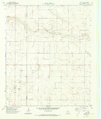
 1970 Prairieview NE1972 Print · USGSThe High Plains of Lea County during the early seventies reveal a landscape shaped by ranching and the oil industry. Genealogists and historians can trace local family names through Murphys Chapel Cem and numerous landmarks like Floyd Windmill or the North Townsend Windmill.2 unique versions available
 - 1970 Map of Bronco NE, 1972 Print
 1970 Bronco NE1972 Print · USGSThe high plains borderland between New Mexico and Texas was a hive of energy production and ranching at the start of the seventies. Researchers can trace the development of the Buckshot Oil Field and locate family landmarks like Standefer Ranch or the Davis Windmill.
 - 1970 Map of Bronco, 1972 Print
 1970 Bronco1972 Print · USGSThe high plains along the New Mexico and Texas border come alive in the early 1970s, showing a landscape defined by ranching and energy. Genealogists and historians can trace family-named landmarks like Dillberry Windmill, a rural School, and the Gladiola Oil Field.2 unique versions available
 - 1970 Map of Prairieview SE, 1972 Print
 1970 Prairieview SE1972 Print · USGSThe high plains of the Texas and New Mexico border come into focus in the early seventies, detailing a landscape of rural industry and agriculture. Genealogists and historians can trace local landmarks like Antioch Ch, the Cotton Gin, and family-named routes such as Fillingim Road.
 - 1970 Map of Plains 1 SW, 1973 Print
 1970 Plains 1 SW1973 Print · USGSYoakum County's ranching and energy landscape is captured here in the early seventies, just as petroleum exploration was reshaping the plains. Researchers can locate family landmarks like Williams Ranch or trace industrial features such as Lost Draw and the Pumping Sta.3 unique versions available
 - 1970 Map of Seagraves, 1973 Print
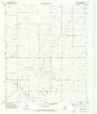
 1970 Seagraves1973 Print · USGSSeagraves is captured in the early 1970s at the meeting of Yoakum, Terry, and Gaines counties during a period of steady industrial and oil production. Researchers can locate specific family sites near Webb Cem, trace the ATCHISON TOPEKA AND SANTA FE rail lines, or find the Rodeo Ground.
 - 1970 Map of Tokio, 1973 Print
 1970 Tokio1973 Print · USGSThe West Texas High Plains come into focus during the early 1970s at the junction of the Prentice Oil and Gas Field and Tokio. Researchers can trace the intensive network of pipelines, local Gravel Pits, and a Pumping Sta that drove the regional energy economy.
 - 1970 Map of Tokio NW, 1973 Print
 1970 Tokio NW1973 Print · USGSYoakum County at the start of the 1970s was a landscape defined by energy production and the West Texas plains. Researchers can trace the sprawling infrastructure of the Prentice Oil and Gas Field and the natural course of Sulphur Springs Draw.
 - 1970 Map of Tokio SE, 1973 Print
 1970 Tokio SE1973 Print · USGSThe West Texas High Plains at the Yoakum and Terry county line come into focus in 1970. Researchers can trace the development of local energy and industry through Oil Wells, a Pumping Sta, and Sulphur Springs Draw.
 - 1970 Map of Pleasant Hill, 1973 Print
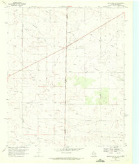
 1970 Pleasant Hill1973 Print · USGSThe High Plains of Yoakum County are seen here in the early seventies, a landscape where ranching roots met the rising oil economy. Researchers can locate the settlement of Sligo, the Pleasant Hill Cem, and the dense drill sites of Wasson Field.
 - 1970 Map of Plains 1 NW, 1974 Print
 1970 Plains 1 NW1974 Print · USGSThe High Plains energy landscape of the early 1970s is captured here, centered on the intensive development of the Levelland and Slaughter Oil and Gas Field. Researchers can trace the industrial footprint of WT Slaughter Pumping Sta and local landmarks like Dean Ranch and Duggan.2 unique versions available
 - 1970 Map of Seagraves NW, 1974 Print
 1970 Seagraves NW1974 Print · USGSThe West Texas plains in the early seventies reveal an intensive landscape of petroleum extraction along the Yoakum Co and Gaines Co line. Researchers can trace the layout of the O D C Oil Field, the Plains Gas Plant, and geographic markers along McKenzie Draw.
 - 1971 Map of Plains NW, 1973 Print
 1971 Plains NW1973 Print · USGSThe West Texas oil plains come into sharp focus during the early 1970s as industrial development transforms the landscape. Researchers can trace the sprawling Brahaney Oil Field, identify numerous Oil Wells, and follow the historic path of the Old Lovington Road.
 - 1971 Map of Higginbotham, 1973 Print
 1971 Higginbotham1973 Print · USGSGaines County oil country is captured here in the early seventies, showing the industrial pulse of the Permian Basin. Researchers can trace the footprints of Higginbotham and Allred or locate specific sites within the Wasson Oil Field and Wards Draw.
 - 1971 Map of Ink Basin, 1973 Print
 1971 Ink Basin1973 Print · USGSYoakum County's industrial landscape was defined by energy and extraction in the early seventies. Genealogists and historians can trace the footprint of the Wasson Oil Field and rural landmarks like McKenzie Draw and Edwards Road.
 - 1971 Map of Schooler Ranch, 1973 Print
 1971 Schooler Ranch1973 Print · USGSCochran County is captured during a peak era of petroleum production in the early 1970s. Researchers can locate family operations like Schooler Ranch and Close Ranch or trace the drainage of the South Fork Sulphur Draw across the oil fields.
 - 1971 Map of Plains SE, 1973 Print
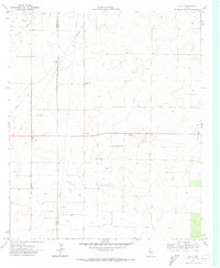
 1971 Plains SE1973 Print · USGSYoakum County's petroleum landscape is captured here in the early 1970s as the regional energy industry flourished. Researchers can trace the extensive footprints of the Wasson Oil Field and find local landmarks like the Rodeo Ground and McKenzie Draw.
Showing maps 1-25 of 33
Top cities of Yoakum County
Frequently asked questions
- What are the different types of historical maps available for Yoakum County?
- What is the oldest map of Yoakum County?
- Where can I purchase historical maps of Yoakum County for my home or office?
- Where can I download high-res historical maps of Yoakum County?
- Are there historical topographic maps available for Yoakum County?
- Is there historical aerial imagery available for Yoakum County?
- Where are historical maps of Yoakum County sourced from?