Old Maps of Yoakum County, Texas
Explore 33 old maps of Yoakum County, spanning from 1954 to today. These high-resolution historic maps reveal how streets, neighborhoods, landmarks, and natural features evolved over time — perfect for genealogy, metal detecting, research, and local history exploration.
What you can do with these maps:
- See how Yoakum County changed over time: Compare historical maps to modern-day views to trace roads, homesites, rail lines & more.
- View detailed metadata: Each map includes creators, publishers, year, scale, and archive source.
- Overlay maps with satellite & LiDAR: Visualize the past alongside modern tools to explore terrain & human change.
- Trusted historical sources: Maps sourced from the USGS, Library of Congress, and other archives.
- Access maps your way: View online, download high-res files, or order prints for personal or research use.
Start exploring old maps of Yoakum County to uncover forgotten places, hidden landmarks, and the deep history beneath your feet.
Yoakum County, TX maps
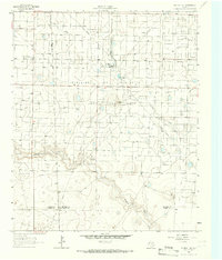
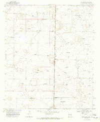
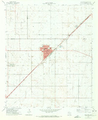
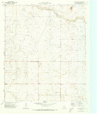
(33)- 1954 Map of Hobbs, 1963 Print
 1954 Hobbs1963 Print · USGSCovers Yoakum County, including Midland, Hobbs, and other nearby areas2 unique versions available
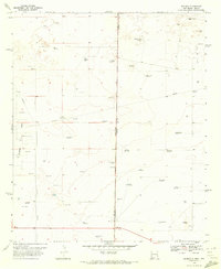
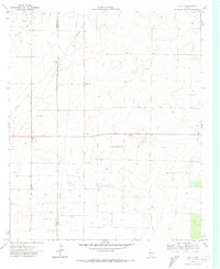
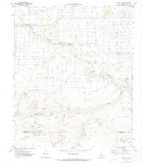
 - 1954 Map of Brownfield, 1975 Print
 1954 Brownfield1975 Print · USGSCovers Yoakum County, including Lubbock, Levelland, and other nearby areas2 unique versions available
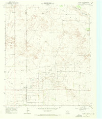
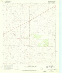
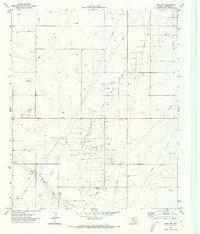
 - 1958 Map of Brownfield
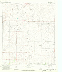
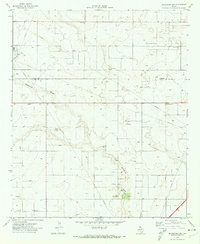
 1958 Brownfield1958 Print · USGSCovers Yoakum County, including Lubbock, Levelland, and other nearby areas
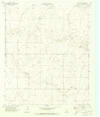
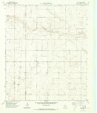
 - 1958 Map of Hobbs
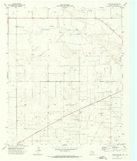
 1958 Hobbs1958 Print · USGSCovers Yoakum County, including Midland, Hobbs, and other nearby areas
 - 1962 Map of Brownfield
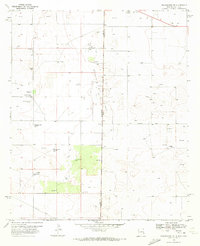
 1962 Brownfield1962 Print · USGSCovers Yoakum County, including Lubbock, Levelland, and other nearby areas
 - 1965 Map of Plains 1 NE, 1966 Print
 1965 Plains 1 NE1966 Print · USGSCovers Yoakum County, including Sundown, Girlstown USA, and other nearby areas2 unique versions available
 - 1969 Map of Plains 1 SE, 1971 Print
 1969 Plains 1 SE1971 Print · USGSCovers Yoakum County, including Terry County, United States, and other nearby areas3 unique versions available
 - 1969 Map of Humble City NE, 1972 Print
 1969 Humble City NE1972 Print · USGSCovers Yoakum County, including Lea County, Gaines County, and other nearby areas4 unique versions available
 - 1970 Map of Prairieview NE, 1972 Print
 1970 Prairieview NE1972 Print · USGSCovers Yoakum County, including Lea County, United States, and other nearby areas2 unique versions available
 - 1970 Map of Bronco NE, 1972 Print
 1970 Bronco NE1972 Print · USGSCovers Yoakum County, including Lea County, Cochran County, and other nearby areas
 - 1970 Map of Bronco, 1972 Print
 1970 Bronco1972 Print · USGSCovers Yoakum County, including Bronco, Lea County, and other nearby areas2 unique versions available
 - 1970 Map of Prairieview SE, 1972 Print
 1970 Prairieview SE1972 Print · USGSCovers Yoakum County, including Lea County, United States, and other nearby areas
 - 1970 Map of Plains 1 SW, 1973 Print
 1970 Plains 1 SW1973 Print · USGSCovers Yoakum County, including United States, Texas, and other nearby areas3 unique versions available
 - 1970 Map of Seagraves, 1973 Print
 1970 Seagraves1973 Print · USGSCovers Yoakum County, including Seagraves, Gaines County, and other nearby areas
 - 1970 Map of Tokio, 1973 Print
 1970 Tokio1973 Print · USGSCovers Yoakum County, including Tokio, Terry County, and other nearby areas
 - 1970 Map of Tokio NW, 1973 Print
 1970 Tokio NW1973 Print · USGSCovers Yoakum County, including United States, Texas, and other nearby areas
 - 1970 Map of Tokio SE, 1973 Print
 1970 Tokio SE1973 Print · USGSCovers Yoakum County, including Terry County, United States, and other nearby areas
 - 1970 Map of Pleasant Hill, 1973 Print
 1970 Pleasant Hill1973 Print · USGSCovers Yoakum County, including Pleasant Hill, Sligo, and other nearby areas
 - 1970 Map of Plains 1 NW, 1974 Print
 1970 Plains 1 NW1974 Print · USGSCovers Yoakum County, including Cochran County, United States, and other nearby areas2 unique versions available
 - 1970 Map of Seagraves NW, 1974 Print
 1970 Seagraves NW1974 Print · USGSCovers Yoakum County, including Gaines County, United States, and other nearby areas
 - 1971 Map of Plains NW, 1973 Print
 1971 Plains NW1973 Print · USGSCovers Yoakum County, including United States, Texas, and other nearby areas
 - 1971 Map of Higginbotham, 1973 Print
 1971 Higginbotham1973 Print · USGSCovers Yoakum County, including Allred, Higginbotham, and other nearby areas
 - 1971 Map of Ink Basin, 1973 Print
 1971 Ink Basin1973 Print · USGSCovers Yoakum County, including United States, Texas, and other nearby areas
 - 1971 Map of Schooler Ranch, 1973 Print
 1971 Schooler Ranch1973 Print · USGSCovers Yoakum County, including Cochran County, United States, and other nearby areas
 - 1971 Map of Plains SE, 1973 Print
 1971 Plains SE1973 Print · USGSCovers Yoakum County, including United States, Texas, and other nearby areas
Showing maps 1-25 of 33
Top cities of Yoakum County
Frequently asked questions
- What are the different types of historical maps available for Yoakum County?
- What is the oldest map of Yoakum County?
- Where can I purchase historical maps of Yoakum County for my home or office?
- Where can I download high-res historical maps of Yoakum County?
- Are there historical topographic maps available for Yoakum County?
- Is there historical aerial imagery available for Yoakum County?
- Where are historical maps of Yoakum County sourced from?