2000s (21st Century) Maps of Tropic, Utah
Explore 17 historic maps of Tropic from the 2000s (21st Century). These maps offer a rare glimpse into what life looked like during the 2000s — showing old roads, neighborhoods, homes, and landmarks that have changed or disappeared over time.
Whether you're researching your family's past, planning a metal detecting trip, or studying how Tropic's landscape evolved across the 2000s, these high-resolution maps are a powerful tool for exploring the history of this region.
- Focus on a specific era: All maps on this page are from the 2000s, giving you a focused view of this time period.
- See what’s changed: Compare century-old streets, trails, and buildings to today's modern landscape using overlays and satellite layers.
- Research with precision: Use these maps for genealogy, historical research, land use analysis, or educational projects.
- View, download, or print: Maps are fully viewable online in high resolution, and can be downloaded or printed for your own records.
Start exploring Tropic's history through authentic maps from the 2000s. This is your window into the past.
Tropic, UT maps
(17)- 2002 Map of Bryce Point, 2005 Print
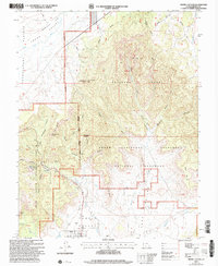
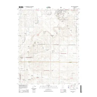
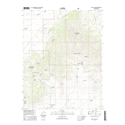
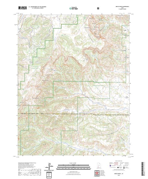
 2002 Bryce Point2005 Print · USGSAs the new millennium began, this Garfield and Kane County survey recorded the converging borders of three protected Utah landscapes. Trace ranching history at Johnson Ranch (Site) or locate geological landmarks like the Fairy Castle and Silent City.
 - 2002 Map of Tropic Canyon, 2005 Print
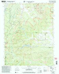
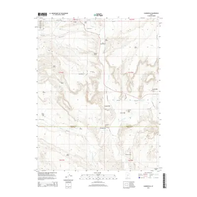
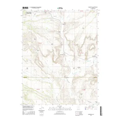
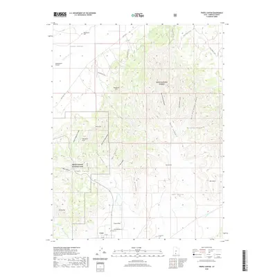
 2002 Tropic Canyon2005 Print · USGSThe community of Tropic is captured here at the turn of the millennium, nestled between the Pink Cliffs and the canyonlands. Researchers can trace land markers like Shakespear Point, the local Cem, and the route of the Paria River.
 - 2011 Map of Cannonville, 2011 Print
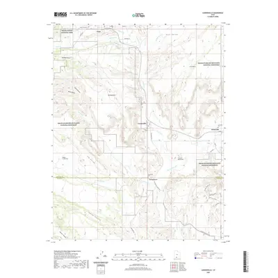
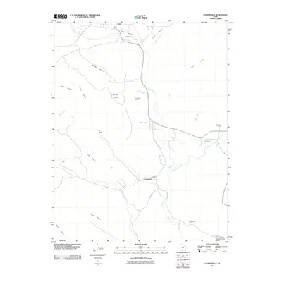 2011 Cannonville2011 Print · USGSCovers Tropic, including Henrieville, Cannonville, and other nearby areas
 - 2011 Map of Tropic Canyon, 2011 Print
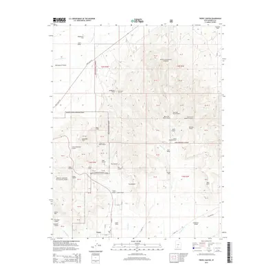
 2011 Tropic Canyon2011 Print · USGSCovers Tropic, including Garfield County, United States, and other nearby areas
 - 2011 Map of Bryce Point, 2011 Print
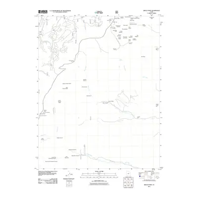 2011 Bryce Point2011 Print · USGSCovers Tropic, including Kane County, Garfield County, and other nearby areas
 - 2014 Map of Cannonville, 2014 Print
 2014 Cannonville2014 Print · USGSCovers Tropic, including Henrieville, Cannonville, and other nearby areas
 - 2014 Map of Tropic Canyon, 2014 Print
 2014 Tropic Canyon2014 Print · USGSCovers Tropic, including Garfield County, United States, and other nearby areas
 - 2014 Map of Bryce Point, 2014 Print
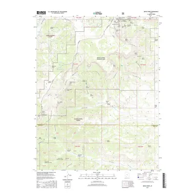
 2014 Bryce Point2014 Print · USGSCovers Tropic, including Kane County, Garfield County, and other nearby areas
 - 2017 Map of Bryce Point, 2017 Print
 2017 Bryce Point2017 Print · USGSCovers Tropic, including Kane County, Garfield County, and other nearby areas
 - 2017 Map of Cannonville, 2017 Print
 2017 Cannonville2017 Print · USGSCovers Tropic, including Henrieville, Cannonville, and other nearby areas
 - 2017 Map of Tropic Canyon, 2017 Print
 2017 Tropic Canyon2017 Print · USGSCovers Tropic, including Garfield County, United States, and other nearby areas
 - 2020 Map of Bryce Point, 2020 Print
 2020 Bryce Point2020 Print · USGSCovers Tropic, including Kane County, Garfield County, and other nearby areas
 - 2020 Map of Cannonville, 2020 Print
 2020 Cannonville2020 Print · USGSCovers Tropic, including Henrieville, Cannonville, and other nearby areas
 - 2020 Map of Tropic Canyon, 2020 Print
 2020 Tropic Canyon2020 Print · USGSCovers Tropic, including Garfield County, United States, and other nearby areas
 - 2023 Map of Cannonville, 2023 Print
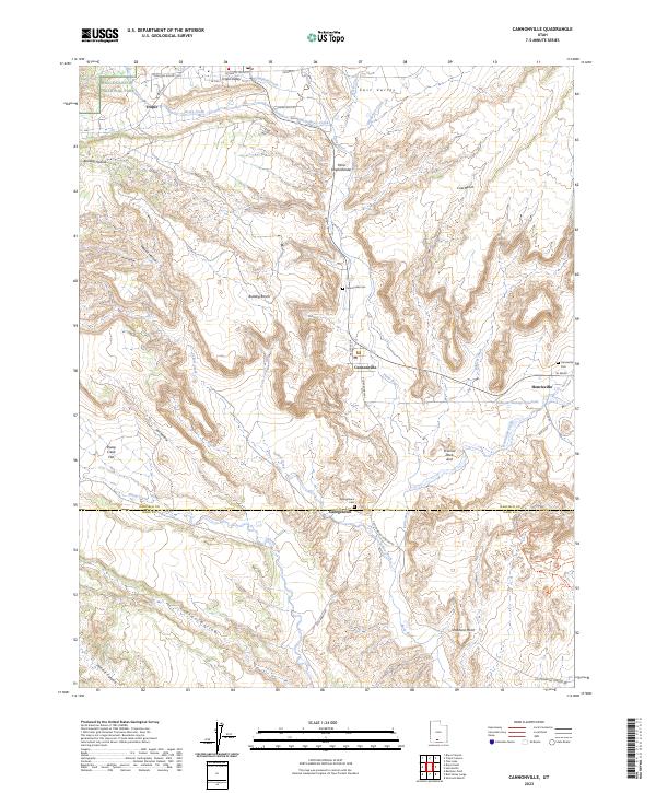 2023 Cannonville2023 Print · USGSSouthern Utah's high-desert settlements are documented here in detail, showing the relationship between small towns and the surrounding public lands. Genealogists and researchers can locate family sites at Tropic, Henrieville, and several burial grounds like Georgetown Cem.
 - 2023 Map of Bryce Point, 2023 Print
 2023 Bryce Point2023 Print · USGSThe high plateau of southern Utah is mapped here in its contemporary state, showing the intricate borders of protected federal lands. Researchers can trace historic springs and canyon trails like Shaker Spring or the Grand View Trl as they navigate the spires of Liberty Castle.
 - 2023 Map of Tropic Canyon, 2023 Print
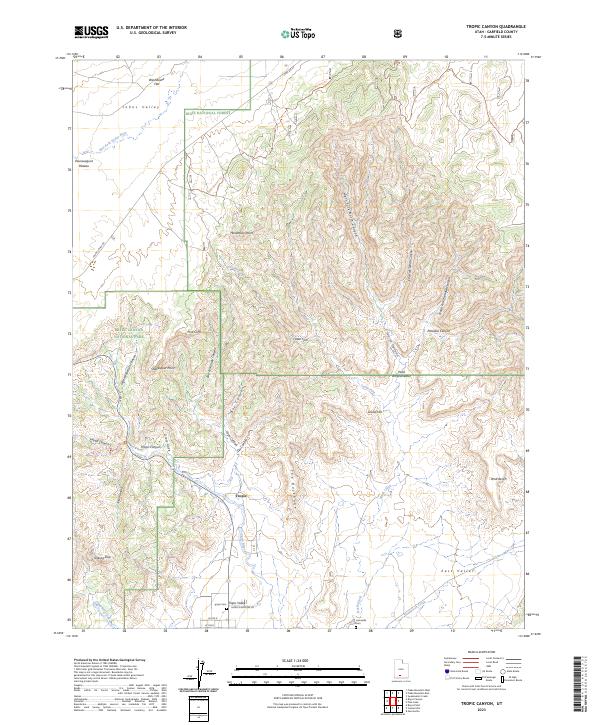 2023 Tropic Canyon2023 Print · USGSTropic and the surrounding canyonlands appear here in modern detail at a time of continued stewardship across three major federal reserves. Researchers can locate Tropic Cem, the Loseeville Cem, and family-named landmarks like Shakespear Point and Jolley Hollow.
End of results
Showing maps 1-17 of 17
Top cities near Tropic
Frequently asked questions
- What are the different types of historical maps available for Tropic?
- What is the oldest map of Tropic?
- Where can I purchase historical maps of Tropic for my home or office?
- Where can I download high-res historical maps of Tropic?
- Are there historical topographic maps available for Tropic?
- Is there historical aerial imagery available for Tropic?
- Where are historical maps of Tropic sourced from?