Old Maps of Tropic, Utah for Academic Research
Study the evolution of Tropic with 25 high-resolution historic maps. Whether you're teaching, researching, or modeling changes in land use, these maps provide essential visual documentation of urban, environmental, and geographic change.
- Analyze long-term change: Track patterns in development, transportation, and natural features.
- Ideal for environmental or urban studies: Support academic projects with primary historical map data.
- Use in the classroom or lab: Educators and researchers rely on these maps to bring historical context to life.
These maps are a powerful tool for teaching, research, and visualizing how Tropic has changed over the decades.
Tropic, UT maps
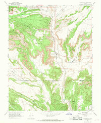
(25)- 1886 Map of Kanab
 1886 Kanab1886 Print · USGSSouthern Utah in the late nineteenth century remains a frontier of deep canyons and high plateaus. Researchers can trace early pioneer outposts and river settlements like Orderville, Mt. Carmel, and Kanab tucked beneath the Vermilion Cliffs.5 unique versions available
 - 1953 Map of Cedar City, 1966 Print
 1953 Cedar City1966 Print · USGSSouthwestern Utah's high plateaus and desert basins are mapped here during the mid-fifties, showing the region before the modern interstate system. Researchers can trace historic mining at Silver Reef, follow the Union Pacific line, and locate early settlements like Kanarraville and Toquerville.3 unique versions available
 - 1958 Map of Cedar City
 1958 Cedar City1958 Print · USGSSouthwestern Utah in the late fifties was a land of mineral extraction and monumental landscapes. Genealogists and historians can trace pioneer-era settlements like Grafton and Parowan alongside industrial sites such as the Silver Reef Mine.2 unique versions available
 - 1962 Map of Cedar City
 1962 Cedar City1962 Print · USGSSouthern Utah in the early sixties showcases a landscape of dramatic plateaus and historic mining outposts. Trace the early settlement patterns at the Silver Reef (ruins), locate the Iron Mine near the Hurricane Cliffs, or find the Fort Harmony Monument.
 - 1966 Map of Cannonville, 1968 Print
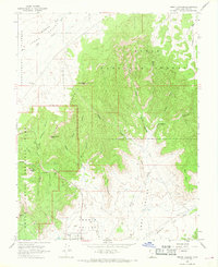
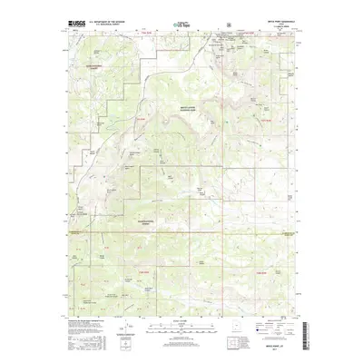
 1966 Cannonville1968 Print · USGSTropic and Cannonville are captured in the mid-1960s as they transition from isolated frontier outposts to gateways for the canyon country. Genealogists and researchers can locate family sites like Georgetown, the Bryce Valley Sch, and a remote Mine near the Paria River.3 unique versions available
 - 1966 Map of Tropic Canyon, 1968 Print
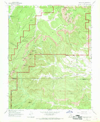
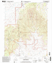
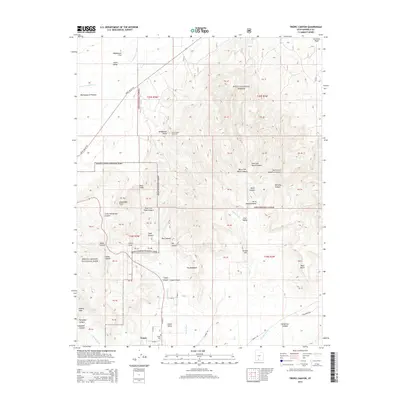
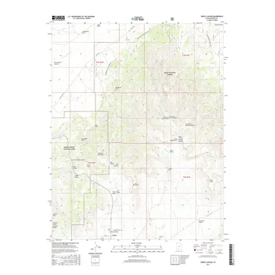
 1966 Tropic Canyon1968 Print · USGSTropic and the surrounding high-desert plateaus are captured in the mid-1960s as a landscape of sharp geological transitions. Researchers can locate the early layout of Tropic, family history at the Cemetery, and remote landmarks like Mossy Cave and Shakespeare Point.
 - 1966 Map of Bryce Point, 1969 Print
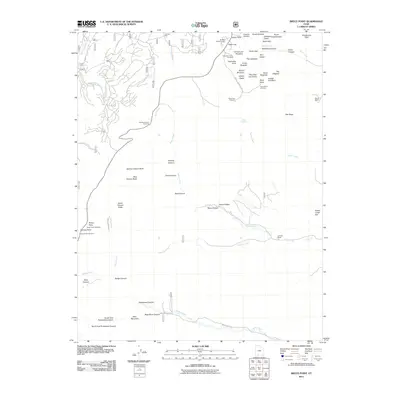
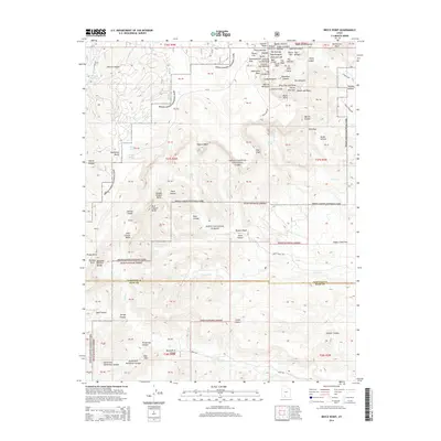
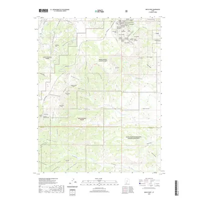
 1966 Bryce Point1969 Print · USGSHigh desert plateaus and limestone spires meet in Garfield and Kane Counties during the mid-1960s. Trace the early ranching history at the Johnson Ranch (Site) and explore geological landmarks like the Silent City, Hat Shop, and Natural Arch.2 unique versions available
 - 1980 Map of Panguitch, 1981 Print
 1980 Panguitch1981 Print · USGSThe high plateau country of Southern Utah is captured here in the early eighties, centered on the Sevier River and the gateway town of Panguitch. Researchers can trace the boundaries of Bryce Canyon National Park and find local landmarks like Ruby's Inn, Panguitch Lake, and Hatch.2 unique versions available
 - 2002 Map of Bryce Point, 2005 Print
 2002 Bryce Point2005 Print · USGSAs the new millennium began, this Garfield and Kane County survey recorded the converging borders of three protected Utah landscapes. Trace ranching history at Johnson Ranch (Site) or locate geological landmarks like the Fairy Castle and Silent City.
 - 2002 Map of Tropic Canyon, 2005 Print
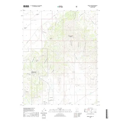
 2002 Tropic Canyon2005 Print · USGSThe community of Tropic is captured here at the turn of the millennium, nestled between the Pink Cliffs and the canyonlands. Researchers can trace land markers like Shakespear Point, the local Cem, and the route of the Paria River.
 - 2011 Map of Cannonville, 2011 Print
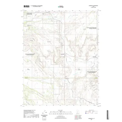
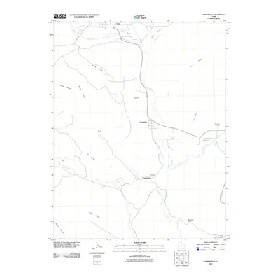 2011 Cannonville2011 Print · USGSCovers Tropic, including Henrieville, Cannonville, and other nearby areas
 - 2011 Map of Tropic Canyon, 2011 Print
 2011 Tropic Canyon2011 Print · USGSCovers Tropic, including Garfield County, United States, and other nearby areas
 - 2011 Map of Bryce Point, 2011 Print
 2011 Bryce Point2011 Print · USGSCovers Tropic, including Kane County, Garfield County, and other nearby areas
 - 2014 Map of Cannonville, 2014 Print
 2014 Cannonville2014 Print · USGSCovers Tropic, including Henrieville, Cannonville, and other nearby areas
 - 2014 Map of Tropic Canyon, 2014 Print
 2014 Tropic Canyon2014 Print · USGSCovers Tropic, including Garfield County, United States, and other nearby areas
 - 2014 Map of Bryce Point, 2014 Print
 2014 Bryce Point2014 Print · USGSCovers Tropic, including Kane County, Garfield County, and other nearby areas
 - 2017 Map of Bryce Point, 2017 Print
 2017 Bryce Point2017 Print · USGSCovers Tropic, including Kane County, Garfield County, and other nearby areas
 - 2017 Map of Cannonville, 2017 Print
 2017 Cannonville2017 Print · USGSCovers Tropic, including Henrieville, Cannonville, and other nearby areas
 - 2017 Map of Tropic Canyon, 2017 Print
 2017 Tropic Canyon2017 Print · USGSCovers Tropic, including Garfield County, United States, and other nearby areas
 - 2020 Map of Bryce Point, 2020 Print
 2020 Bryce Point2020 Print · USGSCovers Tropic, including Kane County, Garfield County, and other nearby areas
 - 2020 Map of Cannonville, 2020 Print
 2020 Cannonville2020 Print · USGSCovers Tropic, including Henrieville, Cannonville, and other nearby areas
 - 2020 Map of Tropic Canyon, 2020 Print
 2020 Tropic Canyon2020 Print · USGSCovers Tropic, including Garfield County, United States, and other nearby areas
 - 2023 Map of Cannonville, 2023 Print
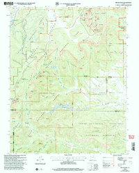
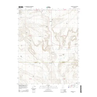
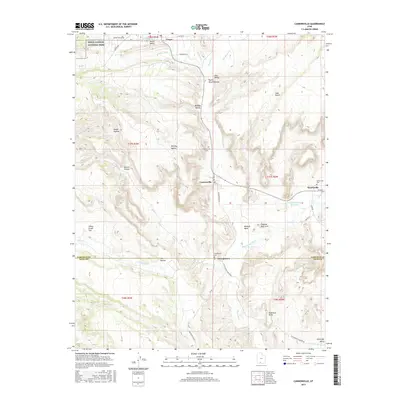
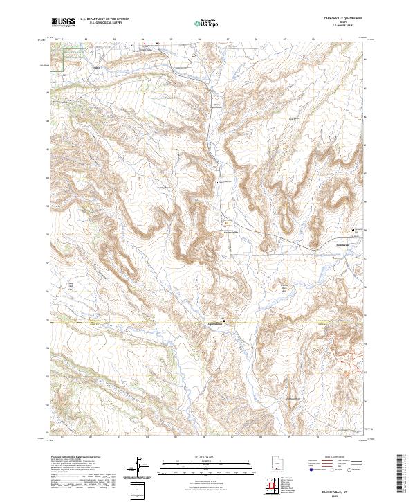 2023 Cannonville2023 Print · USGSSouthern Utah's high-desert settlements are documented here in detail, showing the relationship between small towns and the surrounding public lands. Genealogists and researchers can locate family sites at Tropic, Henrieville, and several burial grounds like Georgetown Cem.
 - 2023 Map of Bryce Point, 2023 Print
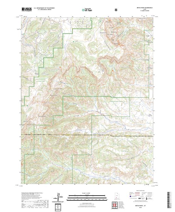 2023 Bryce Point2023 Print · USGSThe high plateau of southern Utah is mapped here in its contemporary state, showing the intricate borders of protected federal lands. Researchers can trace historic springs and canyon trails like Shaker Spring or the Grand View Trl as they navigate the spires of Liberty Castle.
 - 2023 Map of Tropic Canyon, 2023 Print
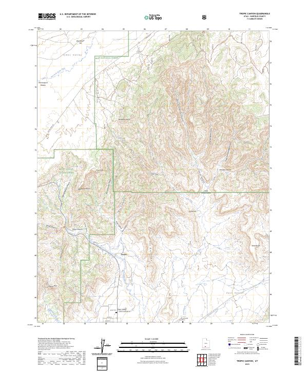 2023 Tropic Canyon2023 Print · USGSTropic and the surrounding canyonlands appear here in modern detail at a time of continued stewardship across three major federal reserves. Researchers can locate Tropic Cem, the Loseeville Cem, and family-named landmarks like Shakespear Point and Jolley Hollow.
End of results
Showing maps 1-25 of 25
Top cities near Tropic
Frequently asked questions
- What are the different types of historical maps available for Tropic?
- What is the oldest map of Tropic?
- Where can I purchase historical maps of Tropic for my home or office?
- Where can I download high-res historical maps of Tropic?
- Are there historical topographic maps available for Tropic?
- Is there historical aerial imagery available for Tropic?
- Where are historical maps of Tropic sourced from?