Old Maps of Glendale, Utah for Hiking & Exploration
Hike through history with 25 historic maps of Glendale. Explore old trails, ghost towns, and forgotten backroads — perfect for outdoor adventurers and local explorers.
- Rediscover forgotten places: Map out old mining camps, roads, and footpaths that no longer exist on modern maps.
- Layer with modern tools: Combine with LiDAR or satellite views to plan hikes through historical terrain.
- Made for exploration: Popular among hikers, overlanders, and local history lovers.
Use these maps to find adventure and explore the hidden past of Glendale.
Glendale, UT maps
(25)- 1886 Map of Kanab
 1886 Kanab1886 Print · USGSSouthern Utah in the late nineteenth century remains a frontier of deep canyons and high plateaus. Researchers can trace early pioneer outposts and river settlements like Orderville, Mt. Carmel, and Kanab tucked beneath the Vermilion Cliffs.5 unique versions available
 - 1953 Map of Cedar City, 1966 Print
 1953 Cedar City1966 Print · USGSSouthwestern Utah's high plateaus and desert basins are mapped here during the mid-fifties, showing the region before the modern interstate system. Researchers can trace historic mining at Silver Reef, follow the Union Pacific line, and locate early settlements like Kanarraville and Toquerville.3 unique versions available
 - 1958 Map of Cedar City
 1958 Cedar City1958 Print · USGSSouthwestern Utah in the late fifties was a land of mineral extraction and monumental landscapes. Genealogists and historians can trace pioneer-era settlements like Grafton and Parowan alongside industrial sites such as the Silver Reef Mine.2 unique versions available
 - 1958 Map of Orderville, 1960 Print
 1958 Orderville1960 Print · USGSSouthern Utah's high plateaus and river valleys are captured here in the late fifties, showing the rural communities of the Virgin River. Genealogists and historians can locate Valley Sch, the local Cem, and landmarks like Strawberry Point.2 unique versions available
 - 1962 Map of Cedar City
 1962 Cedar City1962 Print · USGSSouthern Utah in the early sixties showcases a landscape of dramatic plateaus and historic mining outposts. Trace the early settlement patterns at the Silver Reef (ruins), locate the Iron Mine near the Hurricane Cliffs, or find the Fort Harmony Monument.
 - 1980 Map of Kanab, 1981 Print
 1980 Kanab1981 Print · USGSSouthern Utah in the late seventies is a landscape of massive geologic terraces and isolated ranching towns. Trace the growth of Kanab and Springdale or locate vanished sites like Shunesburg among the White Cliffs and Vermilion Cliffs.
 - 1985 Map of Long Valley Junction
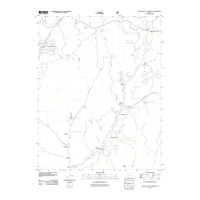
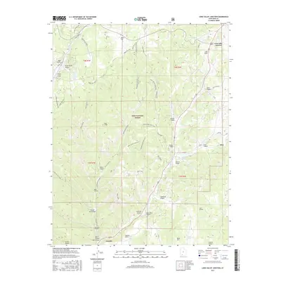
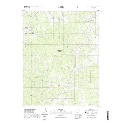
 1985 Long Valley Junction1985 Print · USGSKane County's high-country wilderness is documented here in the mid-1980s, centered on the strategic crossroads of Long Valley Junction. Researchers can trace the headwaters of the East Fork Virgin River and locate remote landmarks like Harris Spring and the Pink Cliffs.
 - 1985 Map of Glendale
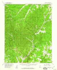
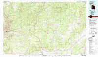
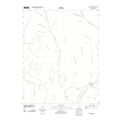
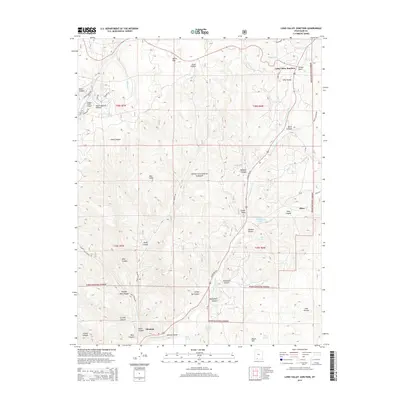
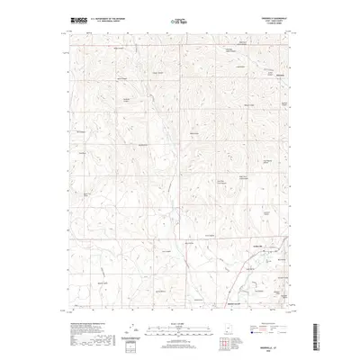
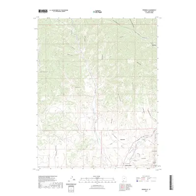
 1985 Glendale1985 Print · USGSSouthern Utah's high plateau country is captured in the mid-1980s, centered on the community of Glendale as it follows the Virgin River. Researchers can trace old canyon access routes and landmarks like the Cem, Kanab Cliffs, and the Glendale Bench.
 - 1985 Map of Orderville
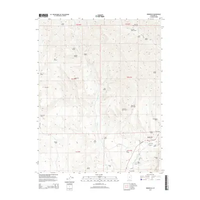
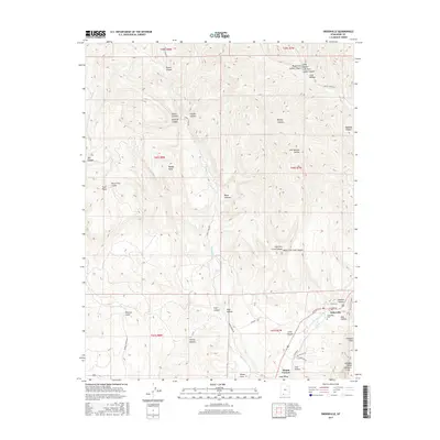
 1985 Orderville1985 Print · USGSOrderville and the surrounding canyon country are captured here in the mid-1980s, showing the settlement's relationship to the high desert terrain. Genealogists and historians can trace the paths between Long Valley, the Elkheart Cliffs, and local landmarks like Mineral Gulch.
 - 2002 Map of Long Valley Junction, 2005 Print
 2002 Long Valley Junction2005 Print · USGSThe high plateau country of Kane County comes into focus at the turn of the millennium, centered on the strategic crossroads of Long Valley Junction. Researchers can trace the headwaters of the East Fork Virgin River and locate remote high-country features like Mc Donald Lake and Gravel Spring.
 - 2010 Map of Orderville, 2010 Print
 2010 Orderville2010 Print · USGSCovers Glendale, including Orderville, Kane County, and other nearby areas
 - 2010 Map of Glendale, 2010 Print
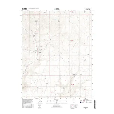
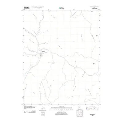 2010 Glendale2010 Print · USGSCovers Glendale, including Orderville, Tortoise and Hare Trailer Court, and other nearby areas
 - 2011 Map of Long Valley Junction, 2011 Print
 2011 Long Valley Junction2011 Print · USGSCovers Glendale, including Alton, Long Valley Junction, and other nearby areas
 - 2014 Map of Glendale, 2014 Print
 2014 Glendale2014 Print · USGSCovers Glendale, including Orderville, Tortoise and Hare Trailer Court, and other nearby areas
 - 2014 Map of Long Valley Junction, 2014 Print
 2014 Long Valley Junction2014 Print · USGSCovers Glendale, including Alton, Long Valley Junction, and other nearby areas
 - 2014 Map of Orderville, 2014 Print
 2014 Orderville2014 Print · USGSCovers Glendale, including Orderville, Kane County, and other nearby areas
 - 2017 Map of Long Valley Junction, 2017 Print
 2017 Long Valley Junction2017 Print · USGSCovers Glendale, including Alton, Long Valley Junction, and other nearby areas
 - 2017 Map of Orderville, 2017 Print
 2017 Orderville2017 Print · USGSCovers Glendale, including Orderville, Kane County, and other nearby areas
 - 2017 Map of Glendale, 2017 Print
 2017 Glendale2017 Print · USGSCovers Glendale, including Orderville, Tortoise and Hare Trailer Court, and other nearby areas
 - 2020 Map of Long Valley Junction, 2020 Print
 2020 Long Valley Junction2020 Print · USGSCovers Glendale, including Alton, Long Valley Junction, and other nearby areas
 - 2020 Map of Orderville, 2020 Print
 2020 Orderville2020 Print · USGSCovers Glendale, including Orderville, Kane County, and other nearby areas
 - 2020 Map of Glendale, 2020 Print
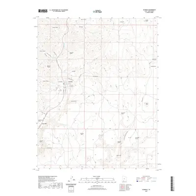 2020 Glendale2020 Print · USGSCovers Glendale, including Orderville, Tortoise and Hare Trailer Court, and other nearby areas
 - 2023 Map of Orderville, 2023 Print
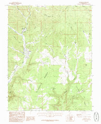
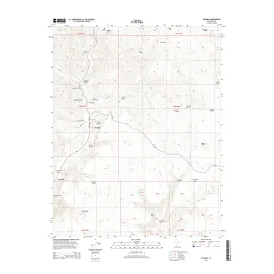
 2023 Orderville2023 Print · USGSSouthern Utah's Long Valley settlements are captured here in the early 2020s as they follow the course of the East Fork Virgin River. Researchers can trace local heritage at the Orderville Cem or explore the rugged geography of the Elkheart Cliffs and Coal Hollow.
 - 2023 Map of Glendale, 2023 Print
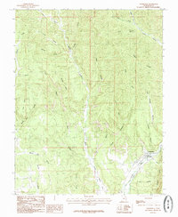
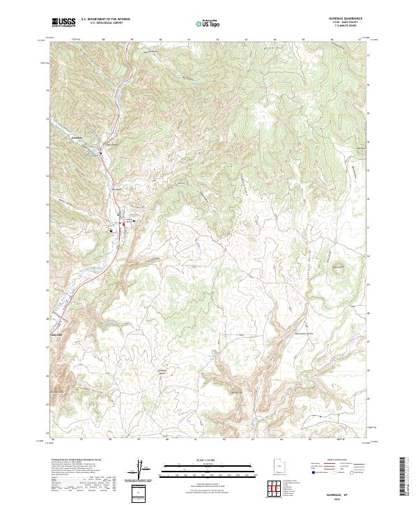 2023 Glendale2023 Print · USGSLong Valley and the East Fork Virgin River corridor come into sharp focus in this recent Utah survey. Genealogists can locate family sites at the Glendale City Cem or Harris Cem, while explorers trace the base of the White Cliffs.
 - 2023 Map of Long Valley Junction, 2023 Print
 2023 Long Valley Junction2023 Print · USGSSouthern Utah's high plateau country is mapped here in the early twenty-first century, showcasing the remote headwaters of the East Fork Virgin River. Trace the rural landscape between Long Valley Junction and Alton, featuring named springs like Howdy Spring and the distinctive Pink Cliffs.
End of results
Showing maps 1-25 of 25
Top cities near Glendale
Frequently asked questions
- What are the different types of historical maps available for Glendale?
- What is the oldest map of Glendale?
- Where can I purchase historical maps of Glendale for my home or office?
- Where can I download high-res historical maps of Glendale?
- Are there historical topographic maps available for Glendale?
- Is there historical aerial imagery available for Glendale?
- Where are historical maps of Glendale sourced from?