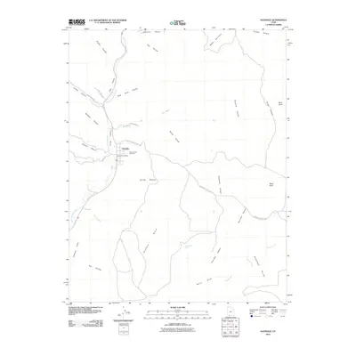
2010 Map of Glendale
USGS Topo · Published 2010About this map
The East Fork Virgin River snakes through the narrow corridor of Long Valley in this survey of Kane County. The settlement of Glendale serves as the focal point of the quadrangle, situated at the junction of several drainage systems including Bishop Canyon and Madison Canyon. The town's local history is anchored by the Glendale Post Office and the Glendale City Cemetery, which provide critical points of reference for genealogical research.
Find a feature on this map
35 named features on this map. Tap any name to fly to it.
Don’t see what you’re looking for? This feature index may not catch every label — zoom into the map to look around manually.
Map Details
Editions of this 2010 Glendale Map
This is the sole edition of this map. No revisions or reprints were ever made.
Other maps of this area

1886 · Kanab
USGS Topo · 1:250,000

1953 · Cedar City
USGS Topo · 1:250,000

1954 · Johnson
USGS Topo · 1:62,500

1957 · Kanab
USGS Topo · 1:62,500

1958 · Cedar City
USGS Topo · 1:250,000

1958 · Orderville
USGS Topo · 1:62,500

1962 · Cedar City
USGS Topo · 1:250,000

1966 · Alton
USGS Topo · 1:24,000

1966 · Bald Knoll
USGS Topo · 1:24,000
1980 · Kanab
USGS Topo · 1:100,000