Old Maps of Virgin, Utah for Genealogy
Trace your family roots with 28 historic maps of Virgin. These high-res maps reveal old neighborhoods, homesites, landmarks, and streets — helping you uncover where your ancestors lived and how the area evolved over time.
- Explore historic neighborhoods: Identify where your relatives may have lived in the 1800s or 1900s.
- Compare maps over time: Trace the changes in streets, buildings, and landmarks for multi-generational research.
- Perfect for genealogy & ancestry research: Used by family historians and researchers to map out lineage and migration.
These maps are an incredible resource for exploring your personal connection to Virgin's past.
Virgin, UT maps
(28)- 1885 Map of St. George
 1885 St. George1885 Print · USGSSouthern Utah’s high deserts and river valleys are captured here during the mid-1880s, an era of mining expansion and early settlement. Researchers can trace the layout of pioneer towns like Silver Reef, Virgin City, and the historic site of Mountain Meadows.
 - 1891 Map of St. George
 1891 St. George1891 Print · USGSSouthwestern Utah in the early 1890s was a landscape of pioneer outposts and mining ventures at the edge of the Escalante Desert. Genealogists and historians can trace the early footprints of St George, the mining camp at Silver Reef, and the now-quiet site of Iron City.4 unique versions available
 - 1953 Map of Cedar City, 1966 Print
 1953 Cedar City1966 Print · USGSSouthwestern Utah's high plateaus and desert basins are mapped here during the mid-fifties, showing the region before the modern interstate system. Researchers can trace historic mining at Silver Reef, follow the Union Pacific line, and locate early settlements like Kanarraville and Toquerville.3 unique versions available
 - 1954 Map of La Verkin 4 NW, 1956 Print
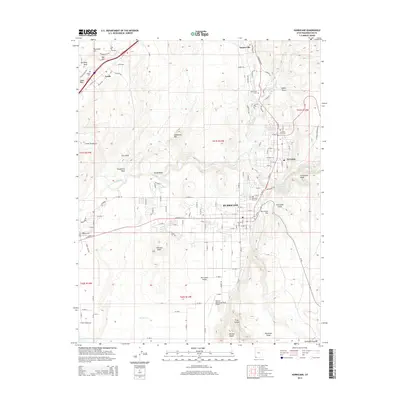
 1954 La Verkin 4 NW1956 Print · USGSSouthern Utah in the mid-1950s reveals a landscape defined by the river and the mesa. Trace the early layout of Virgin, the nearby Virgin Oil Field, and the small settlement at Mountain Dell.
 - 1954 Map of La Verkin 3 NE, 1956 Print
 1954 La Verkin 3 NE1956 Print · USGSSouthern Utah in the mid-fifties reveals a landscape shaped by irrigation and mining along the Virgin River. Local historians can trace early town grids in Hurricane and Toquerville, or locate historic mining sites like Doyle Shaft and Vanderbilt Mine.
 - 1954 Map of La Verkin 1 SW, 1956 Print
 1954 La Verkin 1 SW1956 Print · USGSSouthern Utah's high plateaus and canyon country are shown here in the mid-1950s before the expansion of the park system. Researchers can trace early access routes like the Jeep Trail near Hurricane Mesa and find landmarks like Red Butte and Cave Valley.
 - 1954 Map of Hurricane, 1959 Print
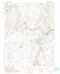
 1954 Hurricane1959 Print · USGSSouthern Utah's desert frontier comes alive in the mid-1950s, showing the early infrastructure of Hurricane and La Verkin. Genealogists and historians can trace the Fort Pierce (Ruins), find the Vanderbilt Mine, and locate family holdings like Bastion Ranch.2 unique versions available
 - 1958 Map of Cedar City
 1958 Cedar City1958 Print · USGSSouthwestern Utah in the late fifties was a land of mineral extraction and monumental landscapes. Genealogists and historians can trace pioneer-era settlements like Grafton and Parowan alongside industrial sites such as the Silver Reef Mine.2 unique versions available
 - 1962 Map of Cedar City
 1962 Cedar City1962 Print · USGSSouthern Utah in the early sixties showcases a landscape of dramatic plateaus and historic mining outposts. Trace the early settlement patterns at the Silver Reef (ruins), locate the Iron Mine near the Hurricane Cliffs, or find the Fort Harmony Monument.
 - 1980 Map of Virgin
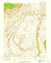
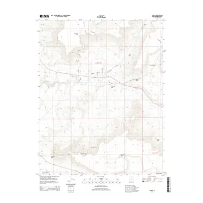
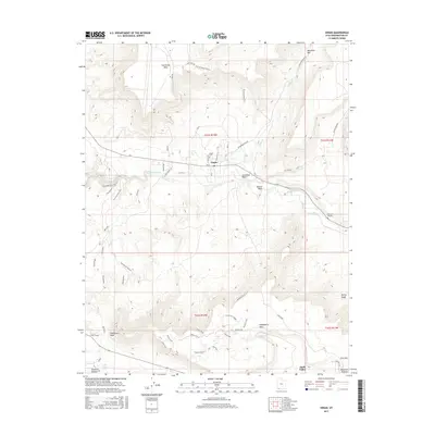
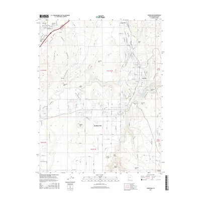
 1980 Virgin1980 Print · USGSThe Virgin River valley in the late seventies and early eighties shows a landscape of mesa-top technology and river-bottom settlement. Trace the course of the Hurricane Canal and locate the Test Track and Observation Tower on the high plateaus.
 - 1980 Map of Smith Mesa
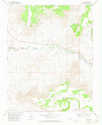
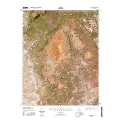
 1980 Smith Mesa1980 Print · USGSWashington County high country in the early eighties reveals a unique mix of canyonlands and technical testing grounds. Researchers can trace the specialized Test Track on Hurricane Mesa alongside older landmarks like Pintura and Smith Creek.
 - 1980 Map of St. George, 1981 Print
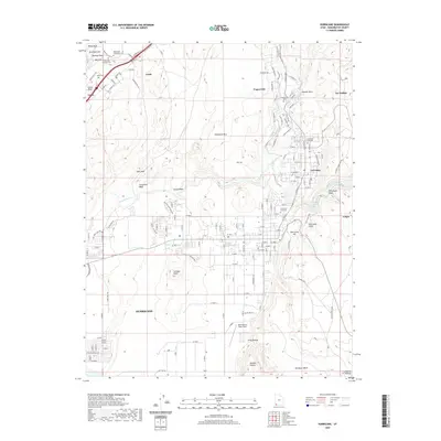
 1980 St. George1981 Print · USGSThe St. George region underwent significant expansion in the early eighties as ranching traditions met new modern development. Researchers can trace the heritage of the Virgin River valley through sites like Grafton, the Apex Mine, and Snow Canyon State Park.2 unique versions available
 - 1986 Map of Hurricane, 1987 Print
 1986 Hurricane1987 Print · USGSThe Hurricane Valley in the late seventies reveals a landscape of irrigation canals and rugged geological formations. Genealogists and historians can trace the early footprints of Hurricane, La Verkin, and Leeds, while locating landmarks like Pah Tempe Springs and Mollies Nipple.
 - 2011 Map of Virgin, 2011 Print
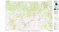
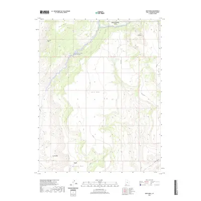
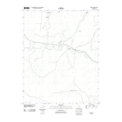 2011 Virgin2011 Print · USGSCovers Virgin, including La Verkin, Apple Valley, and other nearby areas
 - 2011 Map of Smith Mesa, 2011 Print
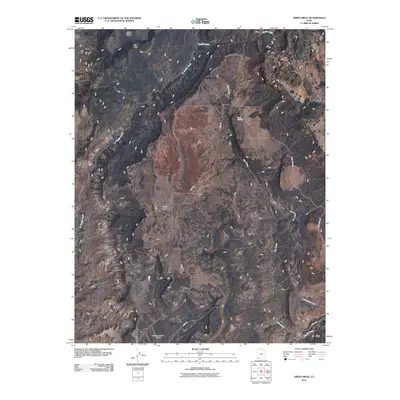 2011 Smith Mesa2011 Print · USGSCovers Virgin, including La Verkin, Washington County, and other nearby areas
 - 2011 Map of Hurricane, 2011 Print
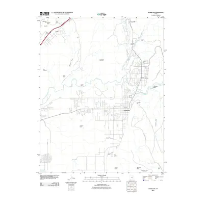 2011 Hurricane2011 Print · USGSCovers Virgin, including Hurricane, La Verkin, and other nearby areas
 - 2014 Map of Smith Mesa, 2014 Print
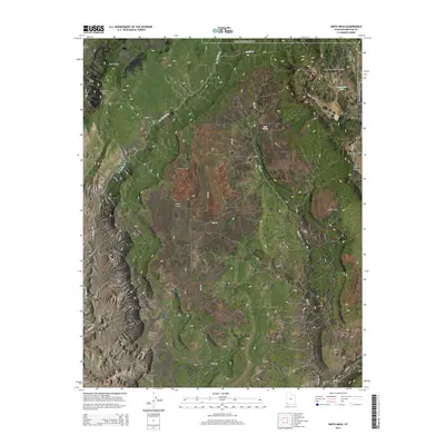 2014 Smith Mesa2014 Print · USGSCovers Virgin, including La Verkin, Washington County, and other nearby areas
 - 2014 Map of Virgin, 2014 Print
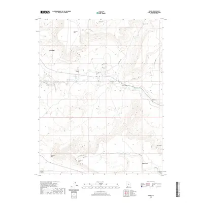
 2014 Virgin2014 Print · USGSCovers Virgin, including La Verkin, Apple Valley, and other nearby areas
 - 2014 Map of Hurricane, 2014 Print
 2014 Hurricane2014 Print · USGSCovers Virgin, including Hurricane, La Verkin, and other nearby areas
 - 2017 Map of Virgin, 2017 Print
 2017 Virgin2017 Print · USGSCovers Virgin, including La Verkin, Apple Valley, and other nearby areas
 - 2017 Map of Smith Mesa, 2017 Print
 2017 Smith Mesa2017 Print · USGSCovers Virgin, including La Verkin, Washington County, and other nearby areas
 - 2017 Map of Hurricane, 2017 Print
 2017 Hurricane2017 Print · USGSCovers Virgin, including Hurricane, La Verkin, and other nearby areas
 - 2020 Map of Smith Mesa, 2020 Print
 2020 Smith Mesa2020 Print · USGSCovers Virgin, including La Verkin, Washington County, and other nearby areas
 - 2020 Map of Hurricane, 2020 Print
 2020 Hurricane2020 Print · USGSCovers Virgin, including Hurricane, La Verkin, and other nearby areas
 - 2020 Map of Virgin, 2020 Print
 2020 Virgin2020 Print · USGSCovers Virgin, including La Verkin, Apple Valley, and other nearby areas
Showing maps 1-25 of 28
Top cities near Virgin
- Washington historical maps
- Hurricane historical maps
- La Verkin historical maps
- Colorado City historical maps
- Toquerville historical maps
- Hildale historical maps
See more
Frequently asked questions
- What are the different types of historical maps available for Virgin?
- What is the oldest map of Virgin?
- Where can I purchase historical maps of Virgin for my home or office?
- Where can I download high-res historical maps of Virgin?
- Are there historical topographic maps available for Virgin?
- Is there historical aerial imagery available for Virgin?
- Where are historical maps of Virgin sourced from?