2010s Maps of Ogden, Utah
Explore 12 historic maps of Ogden from the 2010s. These maps offer a rare glimpse into what life looked like during the 2010s — showing old roads, neighborhoods, homes, and landmarks that have changed or disappeared over time.
Whether you're researching your family's past, planning a metal detecting trip, or studying how Ogden's landscape evolved across the 2010s, these high-resolution maps are a powerful tool for exploring the history of this region.
- Focus on a specific era: All maps on this page are from the 2010s, giving you a focused view of this time period.
- See what’s changed: Compare century-old streets, trails, and buildings to today's modern landscape using overlays and satellite layers.
- Research with precision: Use these maps for genealogy, historical research, land use analysis, or educational projects.
- View, download, or print: Maps are fully viewable online in high resolution, and can be downloaded or printed for your own records.
Start exploring Ogden's history through authentic maps from the 2010s. This is your window into the past.
Ogden, UT maps
(12)- 2011 Map of Roy, 2011 Print
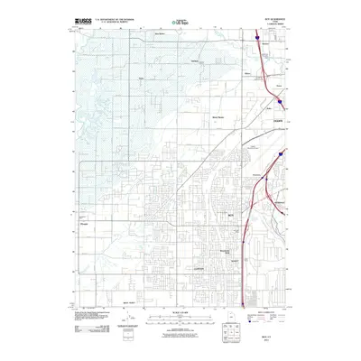 2011 Roy2011 Print · USGSThe growing communities south of the Weber River come into focus in this early twenty-first-century survey of the Ogden area. Researchers can trace the development of local neighborhoods and find specific landmarks like the Roy City Cemetery, Garland School, and the Smith Siding railroad spur.
- 2011 Map of Plain City, 2011 Print
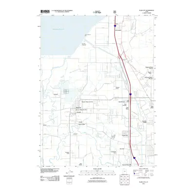 2011 Plain City2011 Print · USGSThe Weber River valley was undergoing significant residential growth in the early 2000s as suburban developments began to bridge the gap between historic farming communities. Genealogists and researchers can locate burial sites at Plain City Cemetery and trace family-named landmarks like Allen Taylor and King Place.
- 2011 Map of North Ogden, 2011 Print
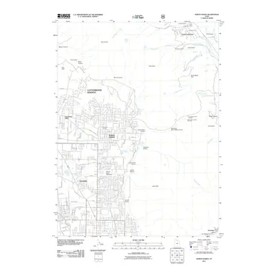 2011 North Ogden2011 Print · USGSWeber County’s northern corridor is shown in detail during the early 21st century, from valley settlements to Wasatch peaks. Genealogists and hikers can trace local sites like Ben Lomond Cemetery, Lakeview Camp, and the winding North Ogden Canyon trailhead.
- 2011 Map of Ogden, 2011 Print
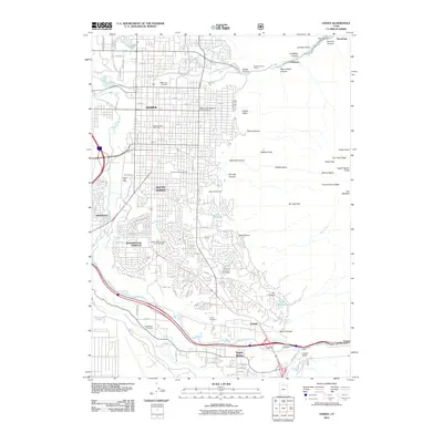 2011 Ogden2011 Print · USGSThe Wasatch Front at the start of the twenty-first century shows a dense network of suburbs and mountain canyons. Genealogists can locate several major burial sites, including Ogden City Cemetery, while hikers can trace paths through Waterfall Canyon and Hidden Valley.
- 2014 Map of Ogden, 2014 Print
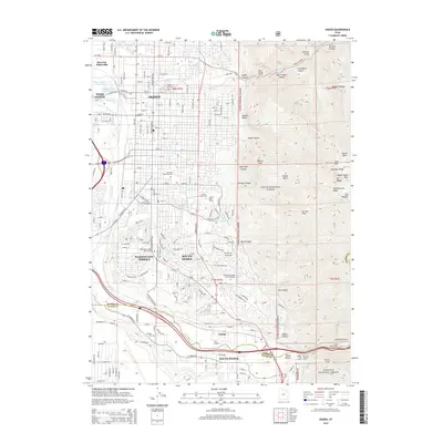 2014 Ogden2014 Print · USGSThe Wasatch Range foothills and the Weber River valley meet in this 2010s survey of the Ogden area. Researchers can locate local landmarks from Weber State University to several burial grounds like Ogden City Cemetery and South Weber Cemetery.
- 2014 Map of North Ogden, 2014 Print
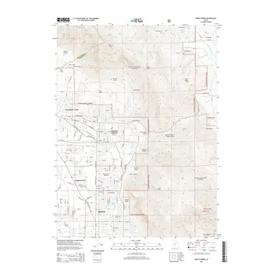 2014 North Ogden2014 Print · USGSNorth Utah’s benchland communities come into focus during this period of growth along the Wasatch Front. Genealogists and hikers can trace the connection between settled areas like North Ogden and the high peaks of Ben Lomond and Lewis Peak.
- 2014 Map of Roy, 2014 Print
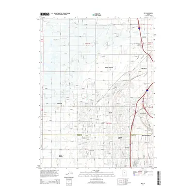 2014 Roy2014 Print · USGSThe northern Wasatch Front communities near Roy and Ogden appear here in their modern suburban configuration. Researchers can trace local landmarks and infrastructure from Ogden-Hinckley Airport to the Roy City Cem and Smith Siding.
- 2014 Map of Plain City, 2014 Print
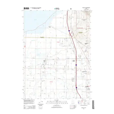 2014 Plain City2014 Print · USGSThe northern edge of the Wasatch Front comes into focus in the early 2010s as suburban growth meets long-standing agricultural fields. Researchers can trace family history through sites like Plain City Cem and W Weber Cem or locate landmarks such as Utah Hot Springs.
- 2017 Map of Ogden, 2017 Print
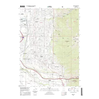 2017 Ogden2017 Print · USGSThe Ogden region and the Wasatch front are shown here in modern detail, where the urban sprawl of South Ogden meets the high peaks. Genealogists and historians can locate Ogden City Cem, Hill Air Force Base, and the Union Pacific rail lines.
- 2017 Map of Plain City, 2017 Print
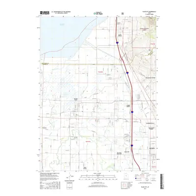 2017 Plain City2017 Print · USGSNorth of Ogden in the late 2010s, this area shows a blend of established farming communities and growing suburban centers beneath the Wasatch Range. Genealogists can locate family sites near Plain City Cem or trace the course of the Weber River and Mill Cr through the valley.
- 2017 Map of North Ogden, 2017 Print
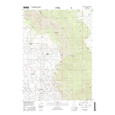 2017 North Ogden2017 Print · USGSThe northern edge of the Wasatch Front comes into focus during this mid-2010s survey as residential growth meets the mountain wilderness. Genealogists and local historians can trace family plots at Ben Lomond Cem or locate community landmarks like Five Points and the Ogden - Weber Applied Technology Coll.
- 2017 Map of Roy, 2017 Print
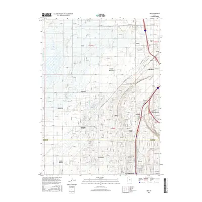 2017 Roy2017 Print · USGSThe northern Wasatch Front is shown in full suburban expansion during the late 2010s, covering the busy corridor between Ogden and Clearfield. Genealogists and local historians can pinpoint Roy City Cem, trace the outskirts of the Ogden-Hinckley Airport, or find historic neighborhoods like Cozydale and Kanesville.
End of results
Showing maps 1-12 of 12
Top cities near Ogden
- Layton historical maps
- Roy historical maps
- Kaysville historical maps
- Syracuse historical maps
- Clearfield historical maps
- Farmington historical maps
See more
Top neighborhoods of Ogden
Frequently asked questions
- What are the different types of historical maps available for Ogden?
- What is the oldest map of Ogden?
- Where can I purchase historical maps of Ogden for my home or office?
- Where can I download high-res historical maps of Ogden?
- Are there historical topographic maps available for Ogden?
- Is there historical aerial imagery available for Ogden?
- Where are historical maps of Ogden sourced from?