2000s (21st Century) Maps of Ogden, Utah
Explore 20 historic maps of Ogden from the 2000s (21st Century). These maps offer a rare glimpse into what life looked like during the 2000s — showing old roads, neighborhoods, homes, and landmarks that have changed or disappeared over time.
Whether you're researching your family's past, planning a metal detecting trip, or studying how Ogden's landscape evolved across the 2000s, these high-resolution maps are a powerful tool for exploring the history of this region.
- Focus on a specific era: All maps on this page are from the 2000s, giving you a focused view of this time period.
- See what’s changed: Compare century-old streets, trails, and buildings to today's modern landscape using overlays and satellite layers.
- Research with precision: Use these maps for genealogy, historical research, land use analysis, or educational projects.
- View, download, or print: Maps are fully viewable online in high resolution, and can be downloaded or printed for your own records.
Start exploring Ogden's history through authentic maps from the 2000s. This is your window into the past.
Ogden, UT maps
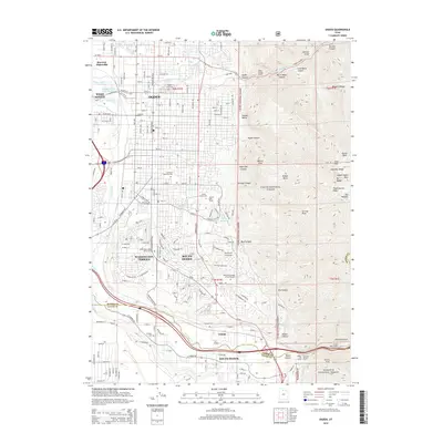
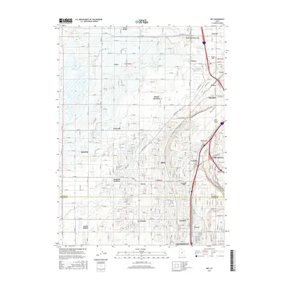
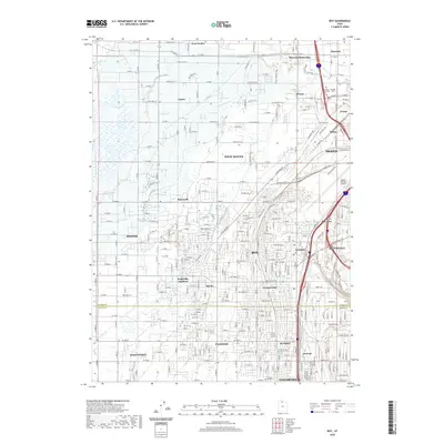
(20)- 2011 Map of Roy, 2011 Print
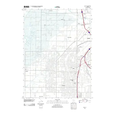 2011 Roy2011 Print · USGSCovers Ogden, including Roy, Clearfield, and other nearby areas
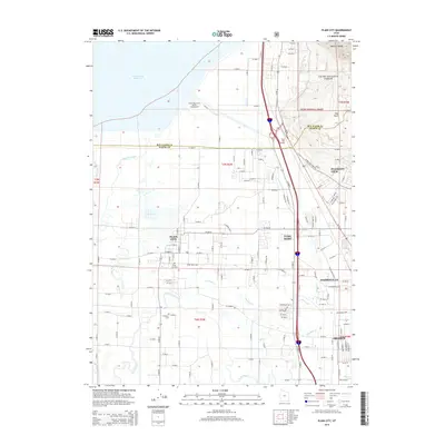
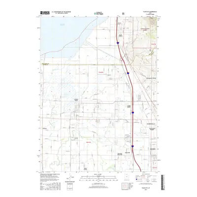
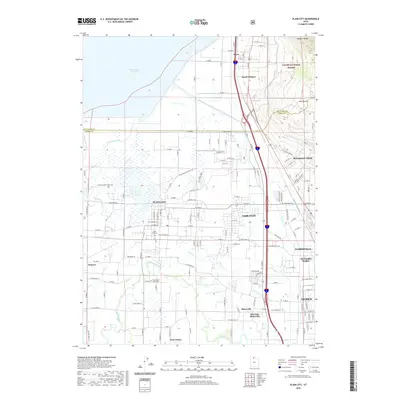
 - 2011 Map of Plain City, 2011 Print
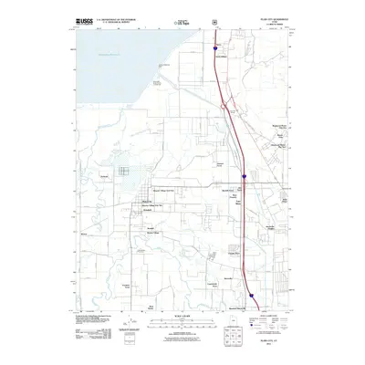 2011 Plain City2011 Print · USGSCovers Ogden, including Pleasant View, Farr West, and other nearby areas
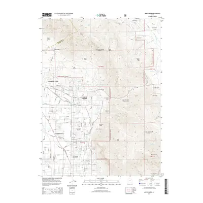
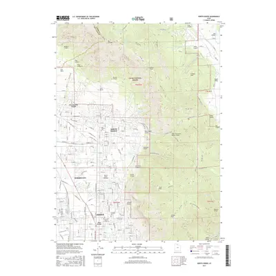
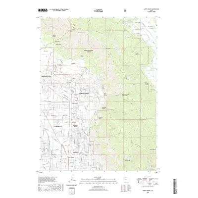
 - 2011 Map of North Ogden, 2011 Print
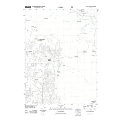 2011 North Ogden2011 Print · USGSCovers Ogden, including North Ogden, Pleasant View, and other nearby areas
 - 2011 Map of Ogden, 2011 Print
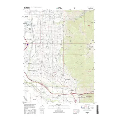
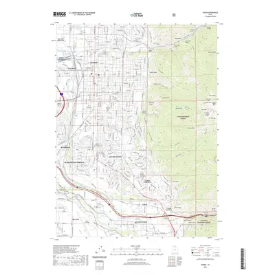
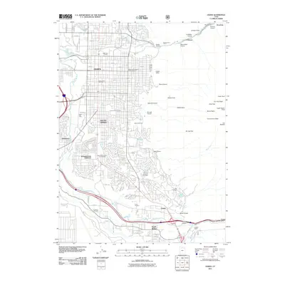 2011 Ogden2011 Print · USGSCovers Ogden, including South Ogden, Riverdale, and other nearby areas
 - 2014 Map of Ogden, 2014 Print
 2014 Ogden2014 Print · USGSCovers Ogden, including South Ogden, Riverdale, and other nearby areas
 - 2014 Map of North Ogden, 2014 Print
 2014 North Ogden2014 Print · USGSCovers Ogden, including North Ogden, Pleasant View, and other nearby areas
 - 2014 Map of Roy, 2014 Print
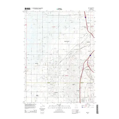 2014 Roy2014 Print · USGSCovers Ogden, including Roy, Clearfield, and other nearby areas
 - 2014 Map of Plain City, 2014 Print
 2014 Plain City2014 Print · USGSCovers Ogden, including Pleasant View, Farr West, and other nearby areas
 - 2017 Map of Ogden, 2017 Print
 2017 Ogden2017 Print · USGSCovers Ogden, including South Ogden, Riverdale, and other nearby areas
 - 2017 Map of Plain City, 2017 Print
 2017 Plain City2017 Print · USGSCovers Ogden, including Pleasant View, Farr West, and other nearby areas
 - 2017 Map of North Ogden, 2017 Print
 2017 North Ogden2017 Print · USGSCovers Ogden, including North Ogden, Pleasant View, and other nearby areas
 - 2017 Map of Roy, 2017 Print
 2017 Roy2017 Print · USGSCovers Ogden, including Roy, Clearfield, and other nearby areas
 - 2020 Map of Ogden, 2020 Print
 2020 Ogden2020 Print · USGSCovers Ogden, including South Ogden, Riverdale, and other nearby areas
 - 2020 Map of North Ogden, 2020 Print
 2020 North Ogden2020 Print · USGSCovers Ogden, including North Ogden, Pleasant View, and other nearby areas
 - 2020 Map of Roy, 2020 Print
 2020 Roy2020 Print · USGSCovers Ogden, including Roy, Clearfield, and other nearby areas
 - 2020 Map of Plain City, 2020 Print
 2020 Plain City2020 Print · USGSCovers Ogden, including Pleasant View, Farr West, and other nearby areas
 - 2023 Map of North Ogden, 2023 Print
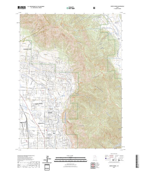 2023 North Ogden2023 Print · USGSThe northern reaches of the Wasatch Front are captured in this recent survey, showing the expansion of North Ogden toward the mountains. Genealogists and hikers can trace connections between the Ben Lomond Cem, the Skyline North Trl, and historic water routes like the Western Canal.
 - 2023 Map of Plain City, 2023 Print
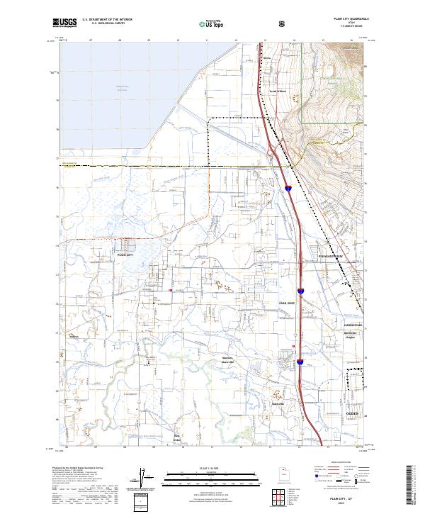 2023 Plain City2023 Print · USGSWeber County communities thrive between the Wasatch peaks and the Great Salt Lake marshes in this contemporary view. Genealogists can trace family roots at Plain City Cem and West Weber-Taylor Cem or follow the Little Mountain Rail Trl.
 - 2023 Map of Ogden, 2023 Print
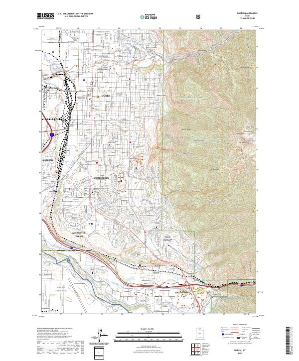 2023 Ogden2023 Print · USGSOgden and the surrounding Wasatch Front settlements are shown here in a recent era of dense suburban growth and military activity. Researchers can trace local heritage at Ogden City Cem, locate the Weber County Court House, or examine the northern edge of Hill Air Force Base.
 - 2023 Map of Roy, 2023 Print
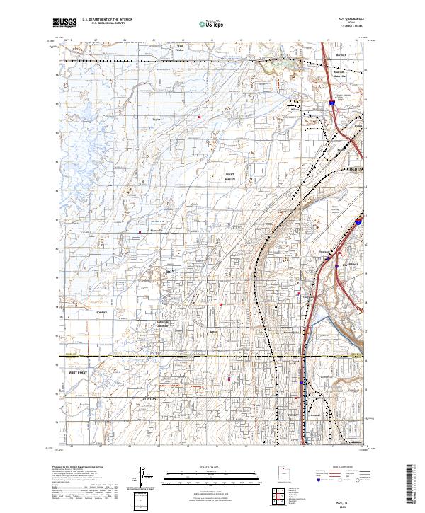 2023 Roy2023 Print · USGSThe northern Wasatch Front is shown in detail during its recent period of suburban expansion and military importance. Researchers can trace family sites near Roy City Cemetery or follow the path of the Union Pacific RR through ROY and SUNSET.
End of results
Showing maps 1-20 of 20
Top cities near Ogden
- Layton historical maps
- Roy historical maps
- Kaysville historical maps
- Syracuse historical maps
- Clearfield historical maps
- Farmington historical maps
See more
Top neighborhoods of Ogden
Frequently asked questions
- What are the different types of historical maps available for Ogden?
- What is the oldest map of Ogden?
- Where can I purchase historical maps of Ogden for my home or office?
- Where can I download high-res historical maps of Ogden?
- Are there historical topographic maps available for Ogden?
- Is there historical aerial imagery available for Ogden?
- Where are historical maps of Ogden sourced from?