2020s Maps of Vermont
Explore 449 historic maps of Vermont from the 2020s. These maps offer a rare glimpse into what life looked like during the 2020s — showing old roads, neighborhoods, homes, and landmarks that have changed or disappeared over time.
Whether you're researching your family's past, planning a metal detecting trip, or studying how Vermont's landscape evolved across the 2020s, these high-resolution maps are a powerful tool for exploring the history of this region.
- Focus on a specific era: All maps on this page are from the 2020s, giving you a focused view of this time period.
- See what’s changed: Compare century-old streets, trails, and buildings to today's modern landscape using overlays and satellite layers.
- Research with precision: Use these maps for genealogy, historical research, land use analysis, or educational projects.
- View, download, or print: Maps are fully viewable online in high resolution, and can be downloaded or printed for your own records.
Start exploring Vermont's history through authentic maps from the 2020s. This is your window into the past.
Vermont maps
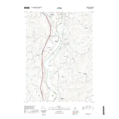
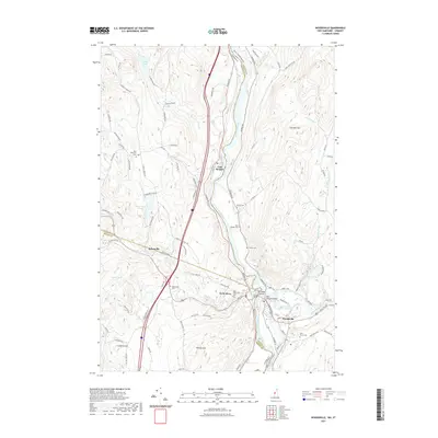
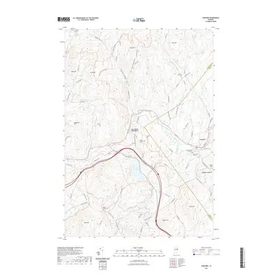
(449)- 2021 Map of Colrain, 2021 Print
 2021 Colrain2021 Print · USGSCovers Vermont, including Greenfield, Guilford, and other nearby areas
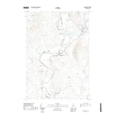
 - 2021 Map of Rowe, 2021 Print
 2021 Rowe2021 Print · USGSCovers Vermont, including Charlemont, Florida, and other nearby areas
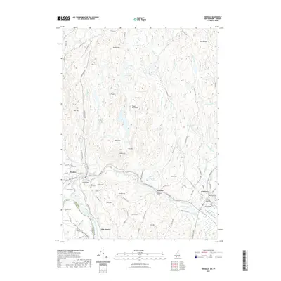
 - 2021 Map of Enfield, 2021 Print
 2021 Enfield2021 Print · USGSCovers Vermont, including Lebanon, Hanover, and other nearby areas
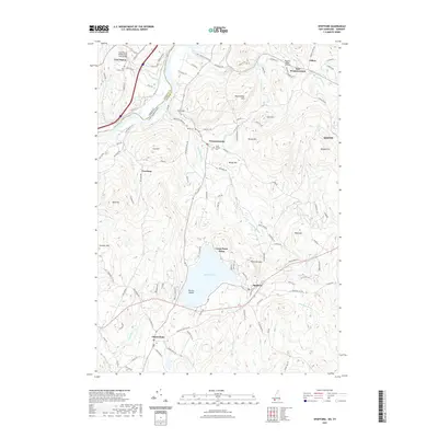
 - 2021 Map of Stratford, 2021 Print
 2021 Stratford2021 Print · USGSCovers Vermont, including Northumberland, Stratford, and other nearby areas
 - 2021 Map of Piermont, 2021 Print
 2021 Piermont2021 Print · USGSCovers Vermont, including Orford, Bradford, and other nearby areas
 - 2021 Map of Heath, 2021 Print
 2021 Heath2021 Print · USGSCovers Vermont, including Colrain, Charlemont, and other nearby areas
 - 2021 Map of Lovering Mountain, 2021 Print
 2021 Lovering Mountain2021 Print · USGSCovers Vermont, including Colebrook, Stewartstown, and other nearby areas
 - 2021 Map of Littleton, 2021 Print
 2021 Littleton2021 Print · USGSCovers Vermont, including Littleton, Lisbon, and other nearby areas
 - 2021 Map of Walpole, 2021 Print
 2021 Walpole2021 Print · USGSCovers Vermont, including Walpole, Westminster, and other nearby areas
 - 2021 Map of Tinkerville, 2021 Print
 2021 Tinkerville2021 Print · USGSCovers Vermont, including Stratford, Columbia, and other nearby areas
 - 2021 Map of Hanover, 2021 Print
 2021 Hanover2021 Print · USGSCovers Vermont, including Lebanon, Hanover, and other nearby areas
 - 2021 Map of Lancaster, 2021 Print
 2021 Lancaster2021 Print · USGSCovers Vermont, including Lancaster, Whitefield, and other nearby areas
 - 2021 Map of Lyme, 2021 Print
 2021 Lyme2021 Print · USGSCovers Vermont, including Hanover, Norwich, and other nearby areas
 - 2021 Map of Groveton, 2021 Print
 2021 Groveton2021 Print · USGSCovers Vermont, including Lancaster, Northumberland, and other nearby areas
 - 2021 Map of Hinsdale, 2021 Print
 2021 Hinsdale2021 Print · USGSCovers Vermont, including Swanzey, Winchester, and other nearby areas
 - 2021 Map of Spofford, 2021 Print
 2021 Spofford2021 Print · USGSCovers Vermont, including Keene, Chesterfield, and other nearby areas
 - 2021 Map of Woodsville, 2021 Print
 2021 Woodsville2021 Print · USGSCovers Vermont, including Haverhill, Newbury, and other nearby areas
 - 2021 Map of Newport OE N, 2021 Print
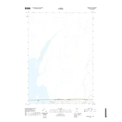 2021 Newport OE N2021 Print · USGSCovers Vermont, including Stanstead (Ville), Derby, and other nearby areas
 - 2021 Map of Woodford, 2021 Print
 2021 Woodford2021 Print · USGSCovers Vermont, including Woodford, Searsburg, and other nearby areas
 - 2021 Map of Concord, 2021 Print
 2021 Concord2021 Print · USGSCovers Vermont, including Saint Johnsbury, Concord, and other nearby areas
 - 2021 Map of North Troy OE N, 2021 Print
 2021 North Troy OE N2021 Print · USGSCovers Vermont, including Troy, North Troy, and other nearby areas
 - 2021 Map of Brattleboro, 2021 Print
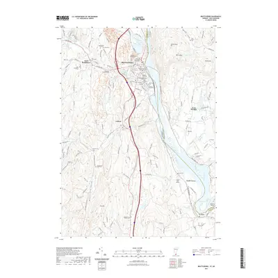 2021 Brattleboro2021 Print · USGSCovers Vermont, including Brattleboro, Chesterfield, and other nearby areas
 - 2021 Map of Morgan Center OE N, 2021 Print
 2021 Morgan Center OE N2021 Print · USGSCovers Vermont, including Coaticook, Holland, and other nearby areas
 - 2021 Map of Enosburg Falls OE N, 2021 Print
 2021 Enosburg Falls OE N2021 Print · USGSCovers Vermont, including Berkshire, Franklin, and other nearby areas
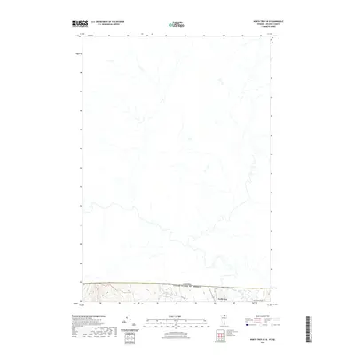
 - 2021 Map of Newport Center OE N, 2021 Print
 2021 Newport Center OE N2021 Print · USGSCovers Vermont, including Troy, Newport Town, and other nearby areas
Showing maps 1-25 of 449
Top cities of Vermont
- Burlington historical maps
- South Burlington historical maps
- Colchester historical maps
- Rutland City historical maps
- Essex historical maps
- Essex Junction historical maps
See more
Top counties of Vermont
- Chittenden County historical maps
- Rutland County historical maps
- Washington County historical maps
- Windsor County historical maps
- Windham County historical maps
- Bennington County historical maps
See more
Frequently asked questions
- What are the different types of historical maps available for Vermont?
- What is the oldest map of Vermont?
- Where can I purchase historical maps of Vermont for my home or office?
- Where can I download high-res historical maps of Vermont?
- Are there historical topographic maps available for Vermont?
- Is there historical aerial imagery available for Vermont?
- Where are historical maps of Vermont sourced from?