2000s (21st Century) Maps of Bland County, Virginia
Explore 63 historic maps of Bland County from the 2000s (21st Century). These maps offer a rare glimpse into what life looked like during the 2000s — showing old roads, neighborhoods, homes, and landmarks that have changed or disappeared over time.
Whether you're researching your family's past, planning a metal detecting trip, or studying how Bland County's landscape evolved across the 2000s, these high-resolution maps are a powerful tool for exploring the history of this region.
- Focus on a specific era: All maps on this page are from the 2000s, giving you a focused view of this time period.
- See what’s changed: Compare century-old streets, trails, and buildings to today's modern landscape using overlays and satellite layers.
- Research with precision: Use these maps for genealogy, historical research, land use analysis, or educational projects.
- View, download, or print: Maps are fully viewable online in high resolution, and can be downloaded or printed for your own records.
Start exploring Bland County's history through authentic maps from the 2000s. This is your window into the past.
Bland County, VA maps
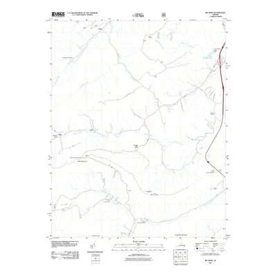
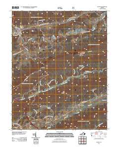
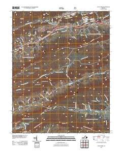
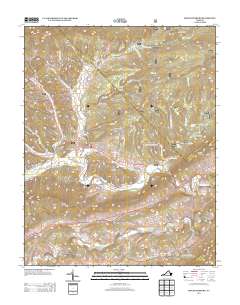
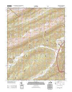
(63)- 2011 Map of Bastian, 2011 Print
 2011 Bastian2011 Print · USGSCovers Bland County, including Bluefield, Bluefield, and other nearby areas
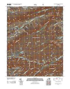
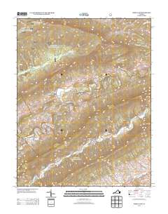
 - 2011 Map of Big Bend, 2011 Print
 2011 Big Bend2011 Print · USGSCovers Bland County, including Suiter, Eagle Oak, and other nearby areas
 - 2011 Map of Mechanicsburg, 2011 Print
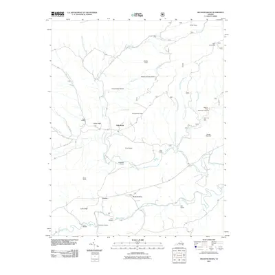 2011 Mechanicsburg2011 Print · USGSCovers Bland County, including Mechanicsburg, Crandon, and other nearby areas
 - 2011 Map of Rocky Gap, 2011 Print
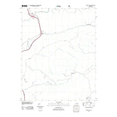 2011 Rocky Gap2011 Print · USGSCovers Bland County, including Rocky Gap, South Gap, and other nearby areas
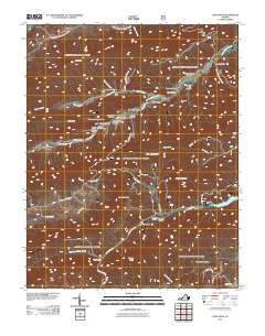
 - 2011 Map of Garden Mountain, 2011 Print
 2011 Garden Mountain2011 Print · USGSCovers Bland County, including Spracher Place, Little Town, and other nearby areas
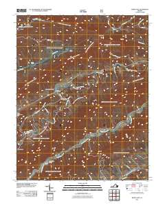
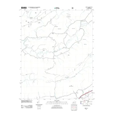
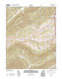
 - 2011 Map of Bland, 2011 Print
 2011 Bland2011 Print · USGSCovers Bland County, including Bland, Carnot, and other nearby areas
 - 2011 Map of Hutchinson Rock, 2011 Print
 2011 Hutchinson Rock2011 Print · USGSCovers Bland County, including Tazewell, Joe Neets, and other nearby areas
 - 2011 Map of White Gate, 2011 Print
 2011 White Gate2011 Print · USGSCovers Bland County, including Little Creek, Alum Springs, and other nearby areas
 - 2011 Map of Long Spur, 2011 Print
 2011 Long Spur2011 Print · USGSCovers Bland County, including Pulaski County, Wythe County, and other nearby areas
 - 2011 Map of Cove Creek, 2011 Print
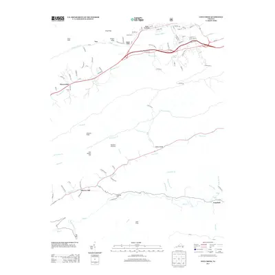
 2011 Cove Creek2011 Print · USGSCovers Bland County, including Bluefield, Shawver Mill, and other nearby areas
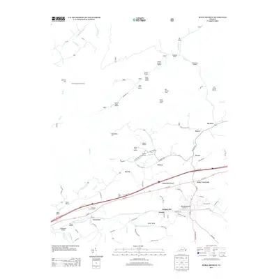
 - 2011 Map of Rural Retreat, 2011 Print
 2011 Rural Retreat2011 Print · USGSCovers Bland County, including Rural Retreat, Groseclose, and other nearby areas
 - 2011 Map of Nebo, 2011 Print
 2011 Nebo2011 Print · USGSCovers Bland County, including Nebo, Groseclose Store, and other nearby areas
 - 2013 Map of Cove Creek, 2013 Print
 2013 Cove Creek2013 Print · USGSCovers Bland County, including Bluefield, Shawver Mill, and other nearby areas
 - 2013 Map of Bland, 2013 Print
 2013 Bland2013 Print · USGSCovers Bland County, including Bland, Carnot, and other nearby areas
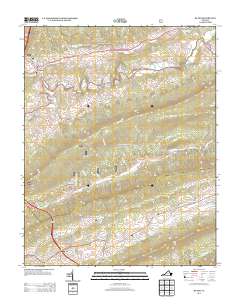
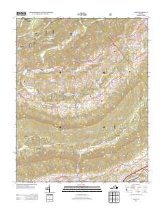
 - 2013 Map of Garden Mountain, 2013 Print
 2013 Garden Mountain2013 Print · USGSCovers Bland County, including Spracher Place, Little Town, and other nearby areas
 - 2013 Map of Rocky Gap, 2013 Print
 2013 Rocky Gap2013 Print · USGSCovers Bland County, including Rocky Gap, South Gap, and other nearby areas
 - 2013 Map of Hutchinson Rock, 2013 Print
 2013 Hutchinson Rock2013 Print · USGSCovers Bland County, including Tazewell, Joe Neets, and other nearby areas
 - 2013 Map of Long Spur, 2013 Print
 2013 Long Spur2013 Print · USGSCovers Bland County, including Pulaski County, Wythe County, and other nearby areas
 - 2013 Map of Mechanicsburg, 2013 Print
 2013 Mechanicsburg2013 Print · USGSCovers Bland County, including Mechanicsburg, Crandon, and other nearby areas
 - 2013 Map of Rural Retreat, 2013 Print
 2013 Rural Retreat2013 Print · USGSCovers Bland County, including Rural Retreat, Groseclose, and other nearby areas
 - 2013 Map of Nebo, 2013 Print
 2013 Nebo2013 Print · USGSCovers Bland County, including Nebo, Groseclose Store, and other nearby areas
 - 2013 Map of Big Bend, 2013 Print
 2013 Big Bend2013 Print · USGSCovers Bland County, including Suiter, Eagle Oak, and other nearby areas
 - 2013 Map of Bastian, 2013 Print
 2013 Bastian2013 Print · USGSCovers Bland County, including Bluefield, Bluefield, and other nearby areas
 - 2013 Map of White Gate, 2013 Print
 2013 White Gate2013 Print · USGSCovers Bland County, including Little Creek, Alum Springs, and other nearby areas
 - 2016 Map of Big Bend, 2016 Print
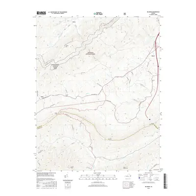 2016 Big Bend2016 Print · USGSCovers Bland County, including Suiter, Eagle Oak, and other nearby areas
Showing maps 1-25 of 63
Top cities of Bland County
Frequently asked questions
- What are the different types of historical maps available for Bland County?
- What is the oldest map of Bland County?
- Where can I purchase historical maps of Bland County for my home or office?
- Where can I download high-res historical maps of Bland County?
- Are there historical topographic maps available for Bland County?
- Is there historical aerial imagery available for Bland County?
- Where are historical maps of Bland County sourced from?